Fish Passage Site 20203733
Coordinates (dec. deg.): 60.12032°, -149.44093°
Legal Description: S001S001W03
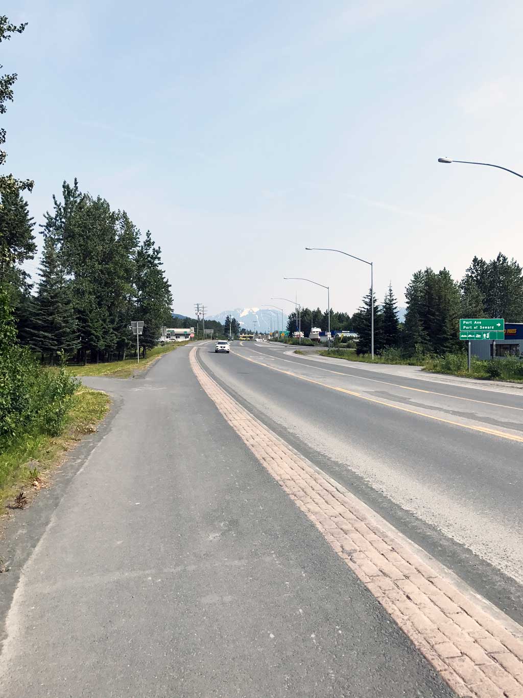
Region: South Central
Road Name: Seward Highway
Datum: NAD83
Quad Name / ITM: Seward A-7
AWC Stream #: 231-30-10070-2016
Stream Name: Unnamed
Elevation:
Site Comments: None
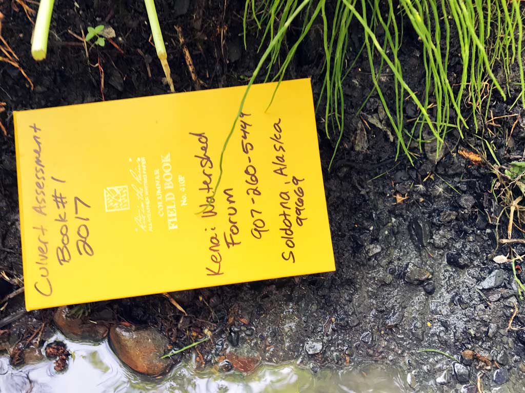
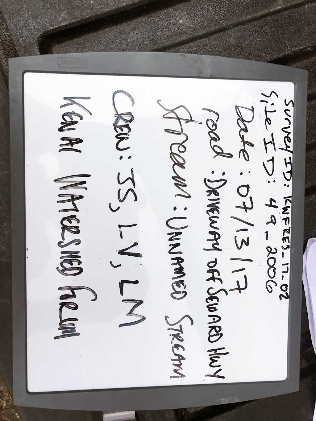
Survey KEN17-49_2006
Observers: Jeff Sires, Luke Violette, Louis Mitchell
Overall Fish Passage Rating:
Tidal: No
Backwatered: No
Step Pools: No
Construction Year:
Site Observations:
- Compound gradient in pipe
- Mechanical damage or joints parting
- Culvert is poorly aligned
- Constriction ratio gray
- Culvert sagging in middle
- Culvert gradient gray
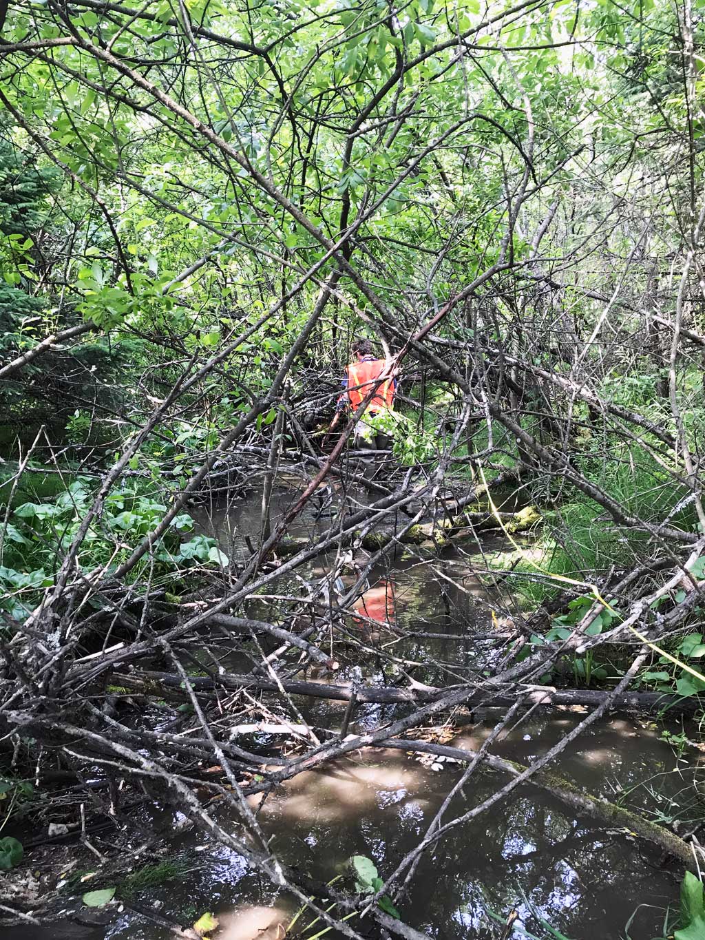
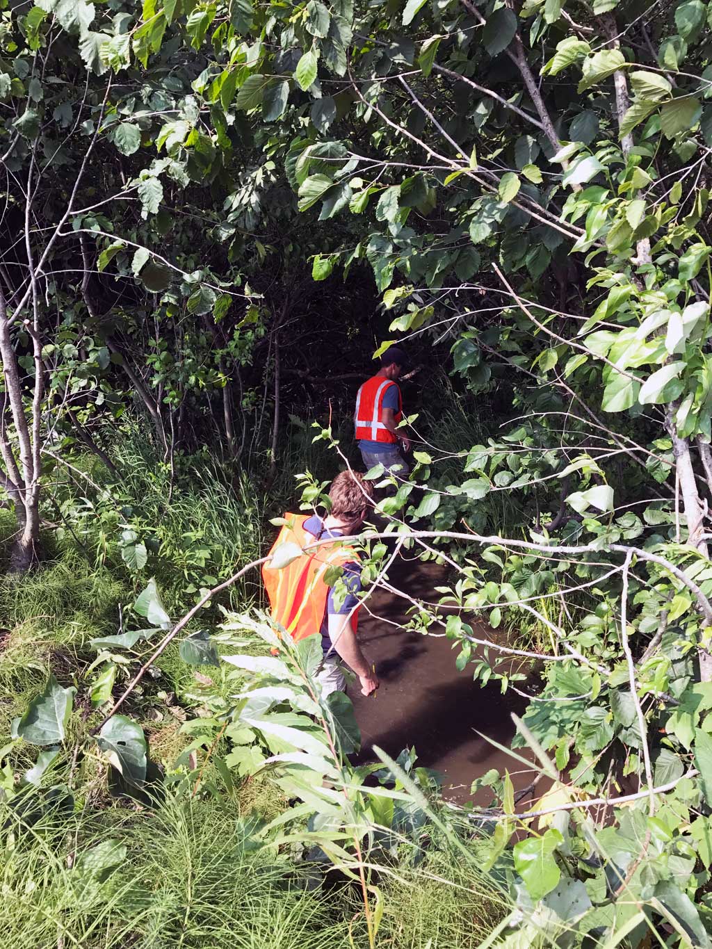
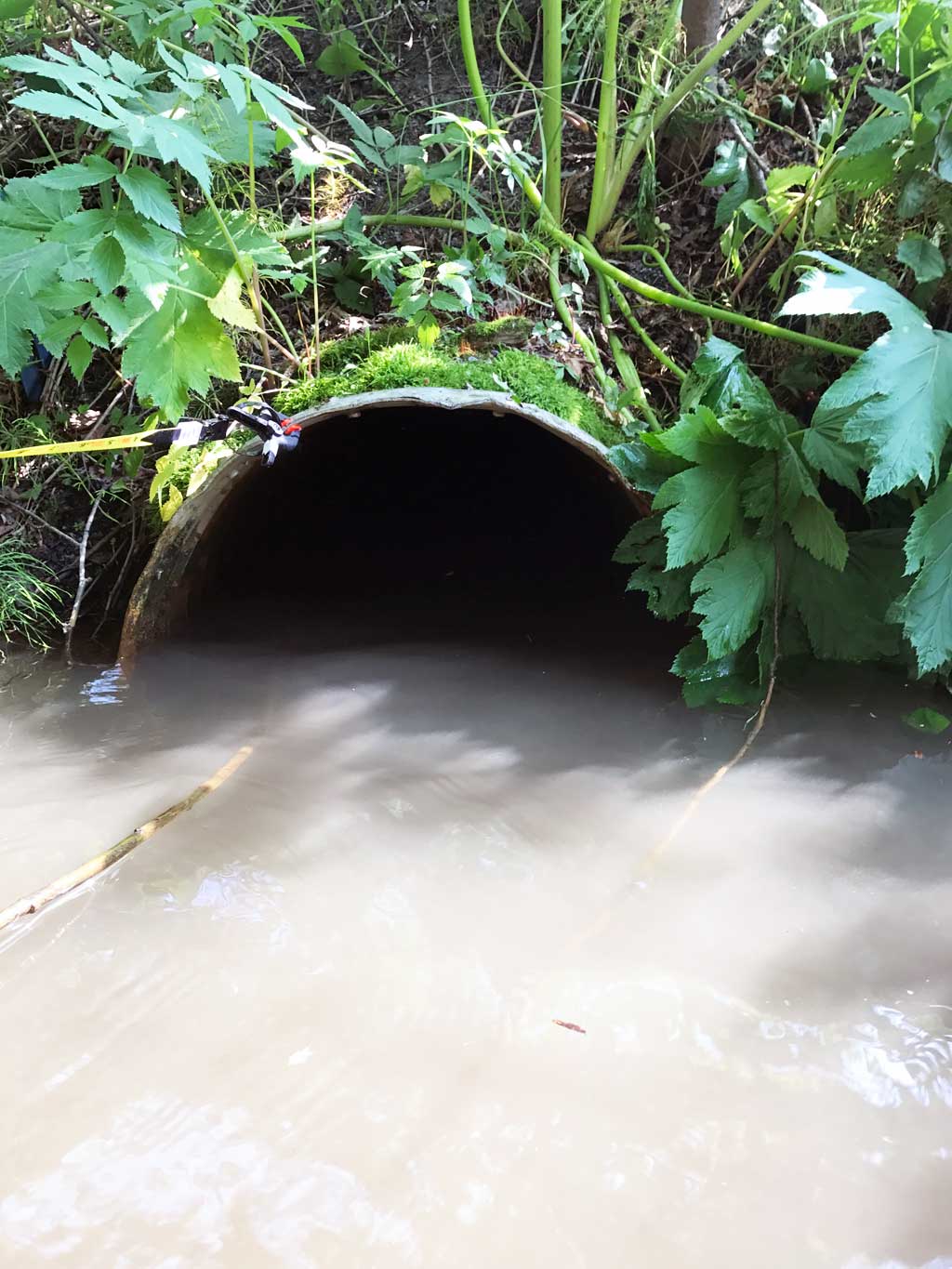
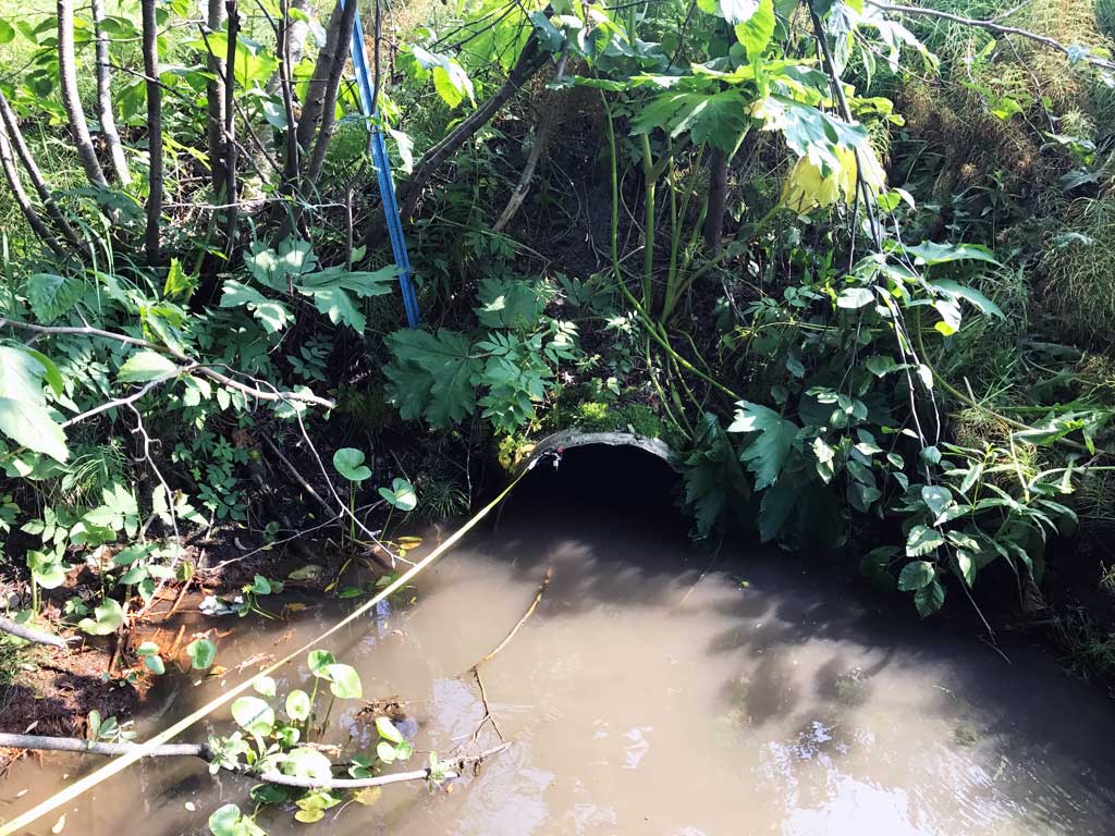
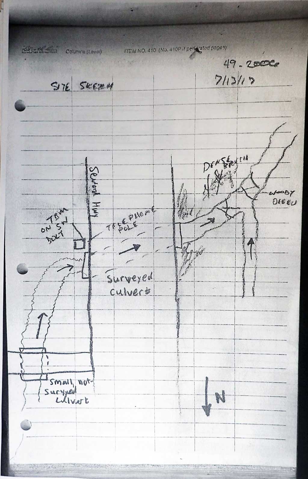
Comments: KWFRES_17_02 Site assessment information and photos collected and submitted by the Kenai Watershed Forum. About 40 feet upstream is another culvert the is under the driveway for the NAPA store. This creek joins another creek just downstream of outlet. Creek is a confined ditch all the way upstream to it's source near the railroad depot. Stream widths taken upstream before upstream culvert. Imagery shows creek is heavily manipulated and ditched and width stays about the same.
Culvert Measurements
| ID: 1 | Structure Type: Circular pipe (Corrugated steel) | Fish Passage Rating: | |||||||||||||||||||||||||||||||||||||||||
|
|
|
|||||||||||||||||||||||||||||||||||||||||
Culvert Observations:
|
|||||||||||||||||||||||||||||||||||||||||||
Stream Measurements
|
|
| Stream Width Type | Distance From Crossing (ft) |
Stream Width (ft) |
|---|---|---|
| Downstream ordinary high water | 15.0 | 4.00 |
| Downstream ordinary high water | 39.0 | 9.33 |
| Downstream ordinary high water | 62.0 | 10.00 |
| Upstream ordinary high water | 8.0 | 3.33 |
| Upstream ordinary high water | 17.0 | 2.92 |
| Upstream ordinary high water | 27.0 | 3.25 |
| Upstream ordinary high water | 38.0 | 2.92 |
Elevations
| Locator ID | Culvert Number |
River Distance (ft)1 |
Distance From Crossing (ft)2 |
Relative Elevation (ft) |
|---|---|---|---|---|
| D/S Thalweg | 0.00 | 93.19 | ||
| D/S Water Surface Elev | 0.00 | 93.79 | ||
| D/S Water Surface Elev | 25.00 | 93.87 | ||
| D/S Thalweg | 25.00 | 93.26 | ||
| D/S Water Surface Elev | 55.00 | 94.02 | ||
| D/S Thalweg | 55.00 | 93.11 | ||
| D/S Water Surface Elev | 80.00 | 94.04 | ||
| D/S Thalweg | 80.00 | 93.48 | ||
| D/S Water Surface Elev | 100.00 | 94.04 | ||
| Outlet Invert (on substrate) | 100.00 | 93.21 | ||
| Outlet Invert (on substrate) | 100.00 | 93.21 | ||
| Outlet Invert | 100.00 | 93.21 | ||
| Outlet Culvert Top | 100.00 | 94.93 | ||
| Inlet Culvert Top | 244.00 | 95.90 | ||
| U/S Water Surface Elev | 244.00 | 94.18 | ||
| Inlet Culvert Invert (on pipe) | 244.00 | 93.92 | ||
| Inlet Culvert Invert | 244.00 | 93.92 | ||
| U/S Thalweg | 269.00 | 93.70 | ||
| U/S Water Surface Elev | 269.00 | 94.50 | ||
| U/S Water Surface Elev | 289.00 | 94.46 | ||
| U/S Thalweg (Just below outlet of upstream culvert) | 289.00 | 93.88 | ||
| U/S Thalweg | 289.00 | 93.88 |
Notes:
- River distance is measured continuously throughout the survey reach along the thalweg of the stream.
- Measured from each end of the crossing along the thalweg of the stream.
Fish Sampling Efforts
| Gear Type: Minnow Trap (A) | Trap Duration(h): 1.45 | |
| Gear Type: Minnow Trap (B) | Trap Duration(h): 1.45 | |
Fish Observations
| Species: juvenile coho salmon | Life History: Anadromous | ||
| Total Fish Observed: 1 | Fish Measured: 1 | Fork Lengths (mm) Min: 30 Max: 30 Mean: 30 | |
| Collected/Observed by Gear Type: Upstream Minnow Trap (1) | |||
Photos
Questions or comments about this report can be directed to dfg.dsf.webmaster@alaska.gov