Fish Passage Site 20203721
Coordinates (dec. deg.): 60.11375°, -149.44392°
Legal Description: S001S001W03
Region: South Central
Road Name: Driveway
Datum: NAD83
Quad Name / ITM: Seward A-7
AWC Stream #: 231-30-10070-2009
Stream Name: Scheffler Creek
Elevation:
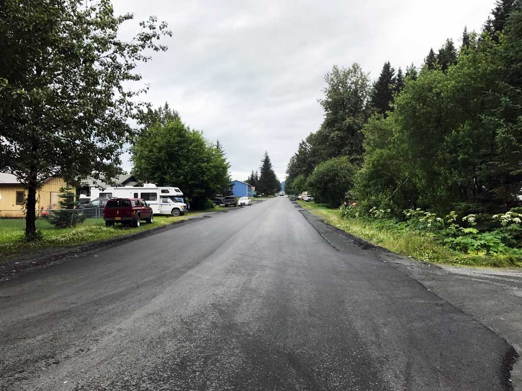
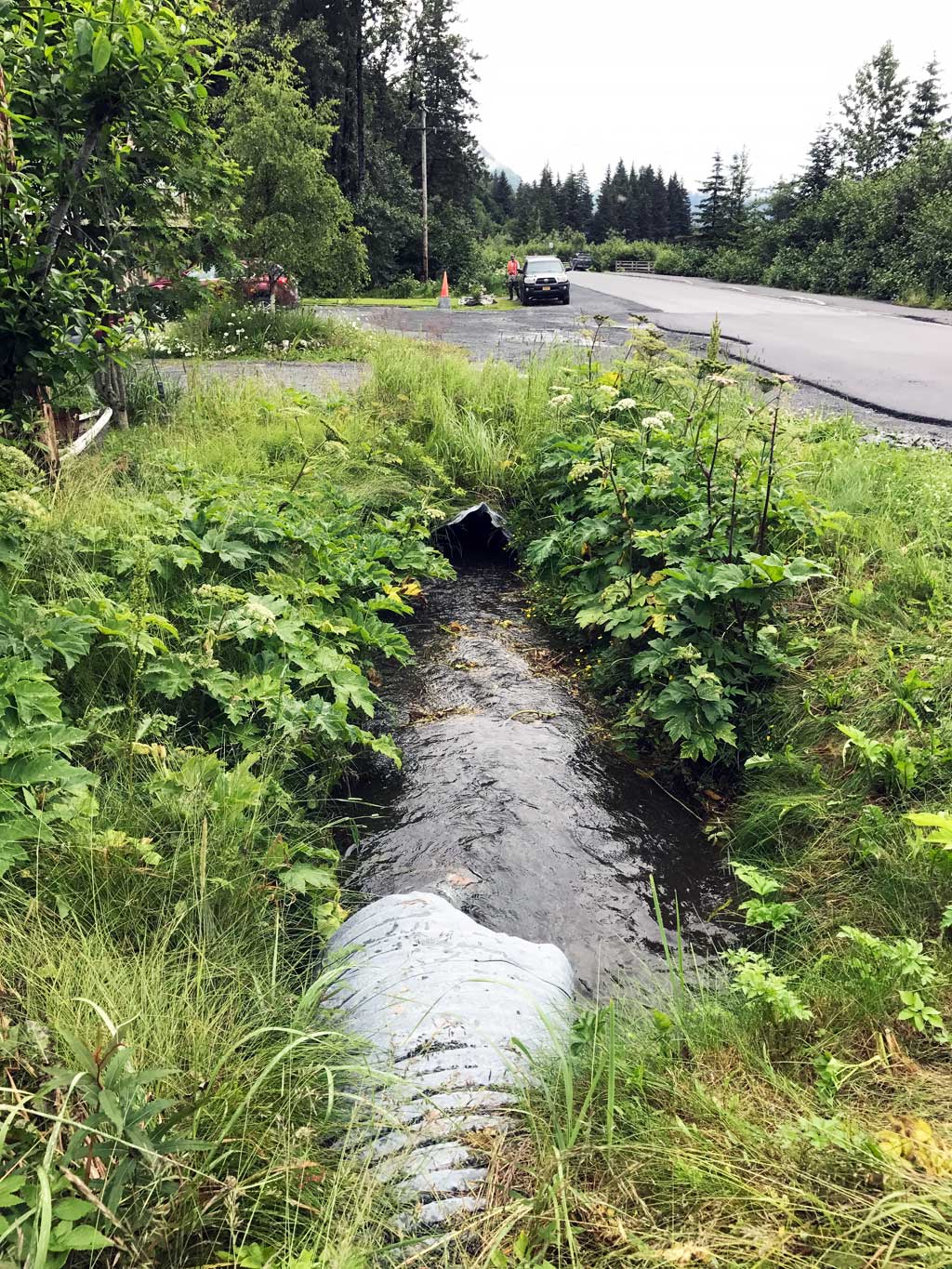
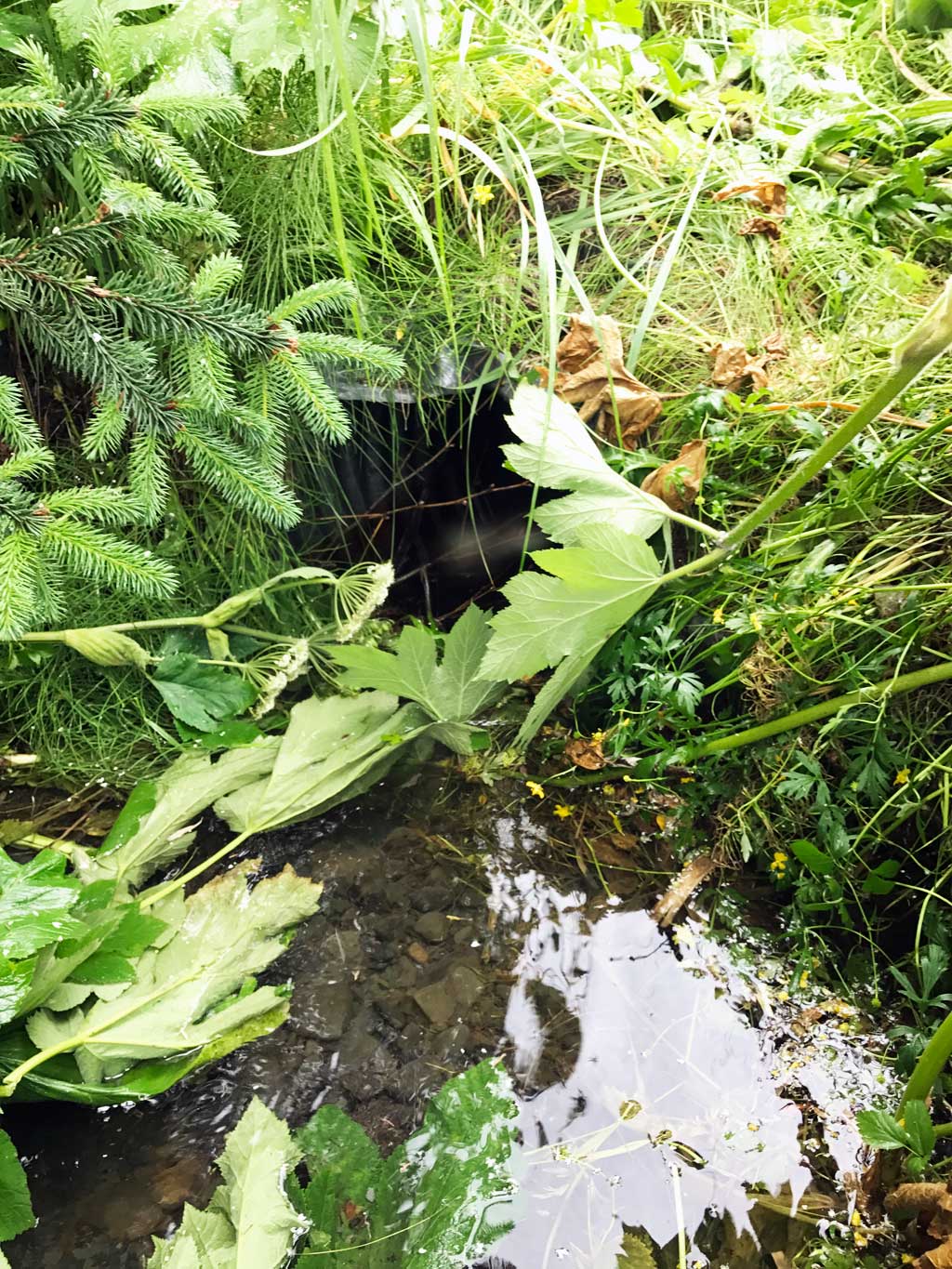
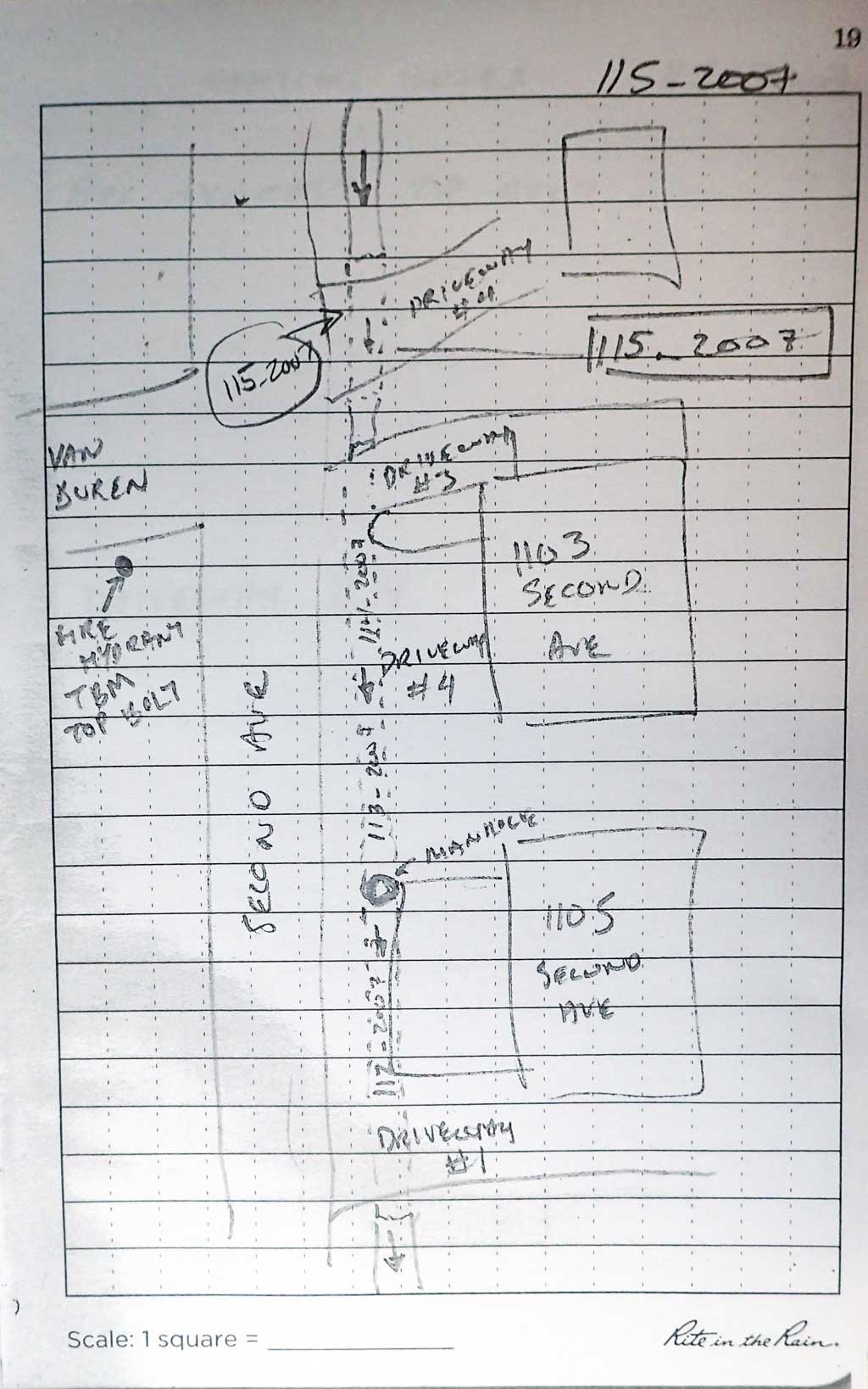
Site Comments: Culvert runs under driveway next to Second Avenue. Site 112_2007 is about 15 feet downstream and site 116_2007 is about 50 feet upstream.
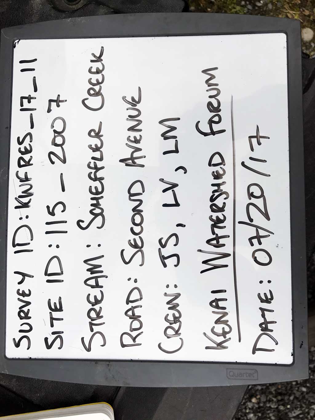
Survey KEN17-115_2007
Observers: Jeff Sires, Louis Mitchell, Luke Violette
Overall Fish Passage Rating:
Tidal: No
Backwatered: No
Step Pools: No
Construction Year:
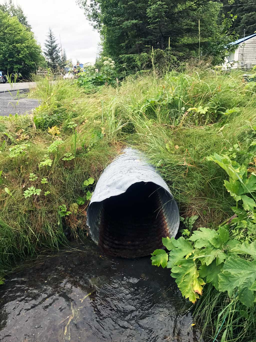
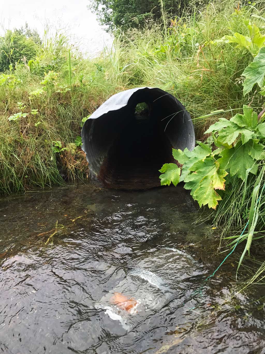
Site Observations:
- Culvert gradient red
- Damage associated with ice problems
- Mechanical damage or joints parting
Comments: KWFRES_17_11. Culvert assessment and photographs submitted by Kenai Watershed Forum. This culvert is the second to last driveway culvert on a battery of 8 that runs along 2nd Avenue. Constriction ratio calculated using stream widths below farthest downstream culvert. This site used the same TBM as 112_2007 and has been linked with all other culvert assessment elevations along this creek. Creek has been ditched upstream and downstream.
Culvert Measurements
| ID: 1 | Structure Type: Circular pipe (Corrugated steel) | Fish Passage Rating: | |||||||||||||||||||||||||||||||||||||||||
|
|
|
|||||||||||||||||||||||||||||||||||||||||
Comments: For constriction ration stream measurement taken below downstream culvert were used. DS OHW used 2.42'. Water surface gradient through culvert 1.29%. |
|||||||||||||||||||||||||||||||||||||||||||
Culvert Observations:
|
|||||||||||||||||||||||||||||||||||||||||||
Stream Measurements
|
|
| Stream Width Type | Distance From Crossing (ft) |
Stream Width (ft) |
|---|---|---|
| Downstream ordinary high water | 5.0 | 4.50 |
| Downstream ordinary high water | 10.0 | 5.00 |
| Downstream ordinary high water | 15.0 | 7.00 |
| Upstream ordinary high water | 25.0 | 3.50 |
| Upstream ordinary high water | 45.0 | 2.75 |
| Upstream ordinary high water | 80.0 | 4.00 |
Elevations
| Locator ID | Culvert Number |
River Distance (ft)1 |
Distance From Crossing (ft)2 |
Relative Elevation (ft) |
|---|---|---|---|---|
| Road Elev (Driveway #4) | 98.89 | |||
| D/S Thalweg (Same TBM as 112_2007 downstream culvert survey) | 0.00 | 95.20 | ||
| D/S Water Surface Elev | 0.00 | 95.34 | ||
| D/S Water Surface Elev | 12.00 | 95.62 | ||
| D/S Thalweg | 12.00 | 94.66 | ||
| Outlet Invert (on pipe) | 15.00 | 95.06 | ||
| Outlet Culvert Top | 15.00 | 97.90 | ||
| D/S Water Surface Elev | 15.00 | 95.74 | ||
| U/S Water Surface Elev | 46.00 | 96.14 | ||
| Inlet Culvert Invert | 46.00 | 95.65 | ||
| Inlet Culvert Top | 46.00 | 97.74 | ||
| U/S Water Surface Elev | 52.00 | 96.59 | ||
| U/S Thalweg | 52.00 | 96.28 | ||
| U/S Thalweg | 71.00 | 96.55 | ||
| U/S Water Surface Elev | 71.00 | 96.81 | ||
| U/S Thalweg | 96.00 | 97.03 | ||
| U/S Water Surface Elev | 96.00 | 97.24 |
Notes:
- River distance is measured continuously throughout the survey reach along the thalweg of the stream.
- Measured from each end of the crossing along the thalweg of the stream.
Fish Sampling Efforts
| Gear Type: Minnow Trap (A) | Trap Duration(h): 0.83 | |
| Comments: Trap set about 30 feet upstream | ||
| Gear Type: Minnow Trap (B) | Trap Duration(h): 0.83 | |
| Comments: Trap set about 2 feet downstream | ||
Fish Observations
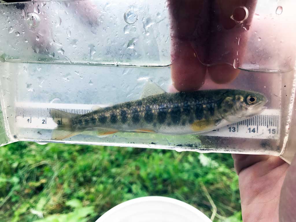
| Species: juvenile/adult Dolly Varden | Life History: Unknown | ||
| Total Fish Observed: 1 | Fish Measured: 1 | Fork Lengths (mm) Min: 120 Max: 120 Mean: 120 | |
| Collected/Observed by Gear Type: Downstream Minnow Trap (1) | |||
Photos
Questions or comments about this report can be directed to dfg.dsf.webmaster@alaska.gov