Fish Passage Site 20200638
Coordinates (dec. deg.): 61.13790°, -146.31178°
Legal Description: C008S006W33
Region: South Central
Road Name: Richardson Highway
Datum: NAD83
Quad Name / ITM: Valdez A-7
AWC Stream #:
Stream Name:
Elevation:
Site Comments: MP2.3
arrow to the right of the survey date below to choose a different report for this site.
Survey UPDATE-RICH638
Project Supervisor: Gillian O'Doherty, ADFG
Observers:
Overall Fish Passage Rating:
Tidal: Yes
Backwatered:
Step Pools:
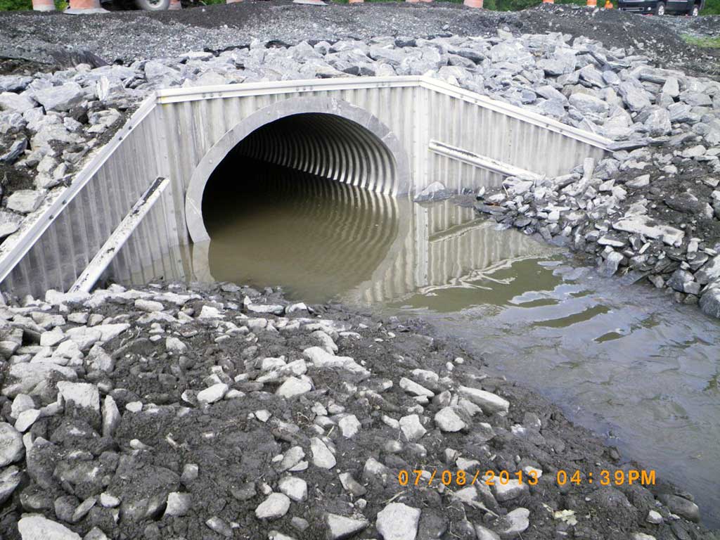
Construction Year: 2012
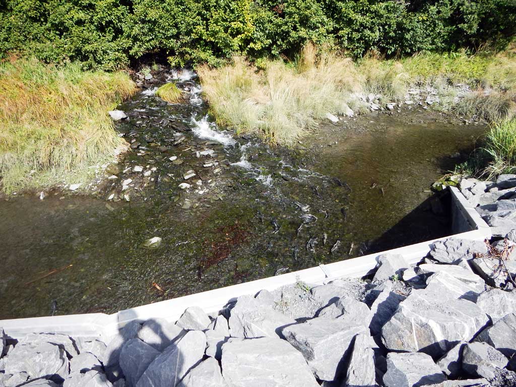
Comments: Site Replaced July 2012
Culvert Measurements
| ID: 1 | Structure Type: Pipe-arch (Structural aluminum plate) | Fish Passage Rating: | |||||||||||||||||||||||||||||||||||||||||
|
|
|
|||||||||||||||||||||||||||||||||||||||||
Comments: Culvert measurements and slope taken from As-built plans and have not been verified. Rip rap apron 45' downstream, 15' upstream from culvert. Cuvlert width 11.08 ft. Culvert height 7 ft. Culvert length 75 ft. Culvert gradient 0.25%. |
|||||||||||||||||||||||||||||||||||||||||||
Stream Measurements
|
|
No stream width data available.
Elevations
No elevation data available.
Fish Sampling Efforts
No fish sampling occurred during this survey.
Fish Observations
No fish observations occurred during this survey.
Photos
Questions or comments about this report can be directed to dfg.dsf.webmaster@alaska.gov