Fish Passage Site 20200224
Coordinates (dec. deg.): 60.77557°, -148.72441°
Legal Description: S008N004E22
Region: South Central
Road Name: Whittier Highway
Datum: NAD83
Quad Name / ITM: Seward D-5
AWC Stream #: 224-10-14400
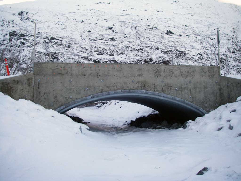
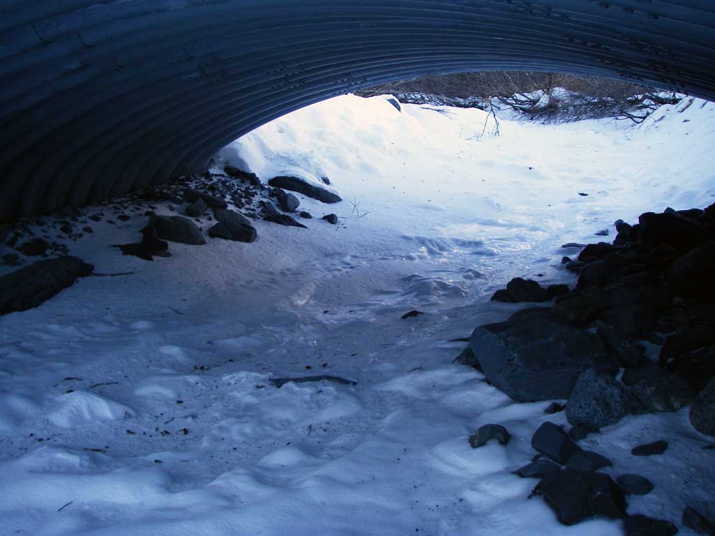
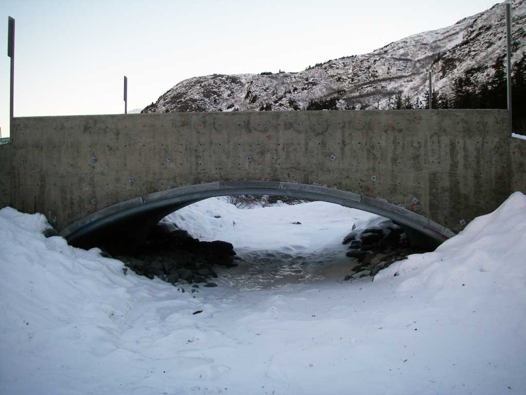
Stream Name: Shakespeare Creek
Elevation:
Site Comments: None
arrow to the right of the survey date below to choose a different report for this site.
Survey UPDATE-WIT01
Project Supervisor: Gillian O'Doherty, ADFG
Observers: William Frost
Overall Fish Passage Rating:
Tidal:
Backwatered:
Step Pools:
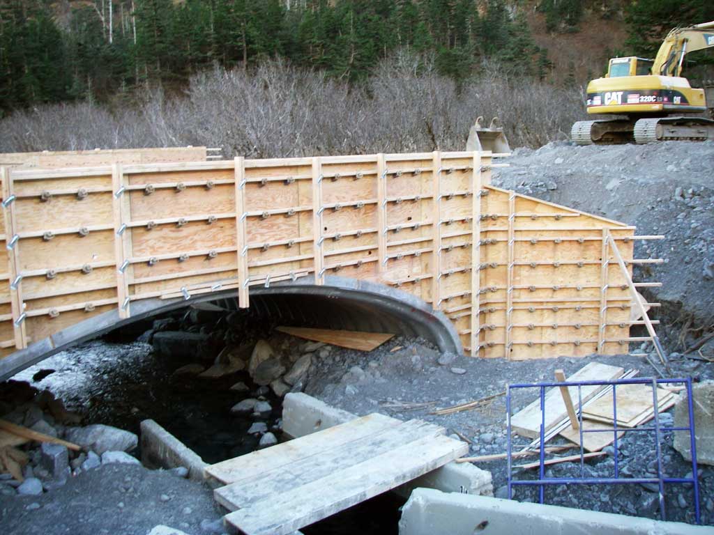
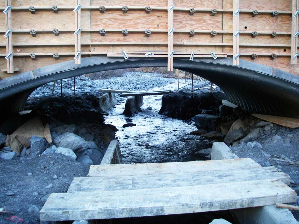
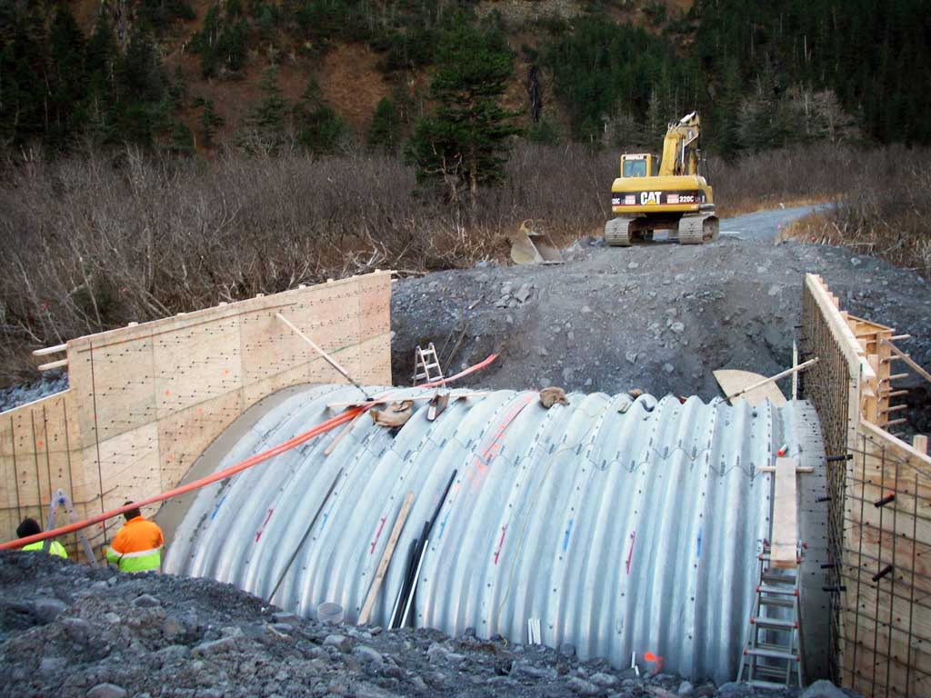
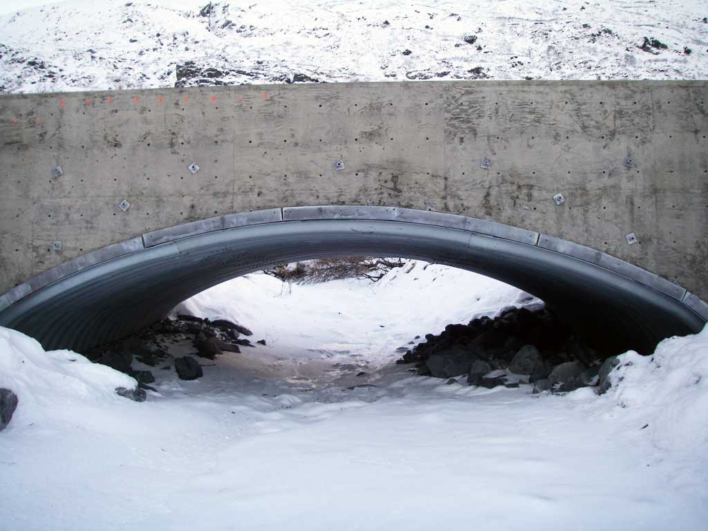
Construction Year: 2013
Comments: Site submitted by Will Frost ADFG HB. Replaced in Nov. 2013
Culvert Measurements
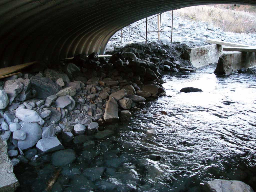
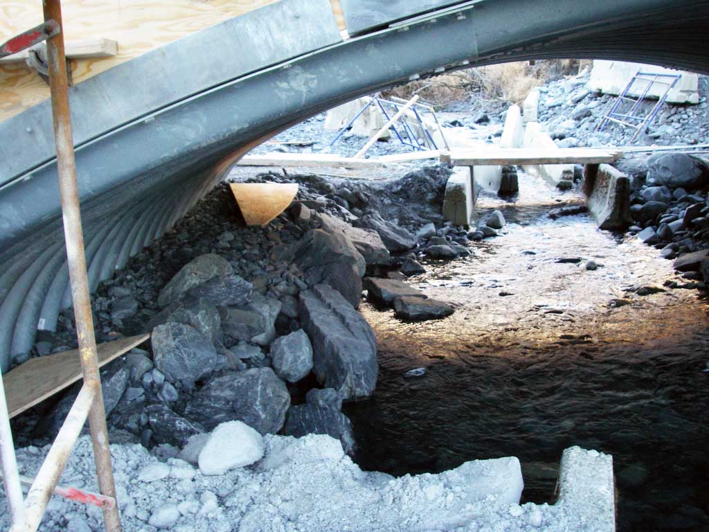
| ID: 1 | Structure Type: Open-bottom arch (Structural steel plate) | Fish Passage Rating: | |||||||||||||||||||||||||||||||||||||||||
|
|
|
|||||||||||||||||||||||||||||||||||||||||
Stream Measurements
|
|
No stream width data available.
Elevations
No elevation data available.
Fish Sampling Efforts
No fish sampling occurred during this survey.
Fish Observations
No fish observations occurred during this survey.
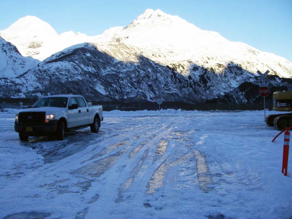
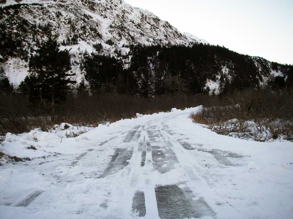
Photos

Questions or comments about this report can be directed to dfg.dsf.webmaster@alaska.gov