Fish Passage Site 20103768
Coordinates (dec. deg.): 61.99135°, -145.35811°
Legal Description: C003N001W35
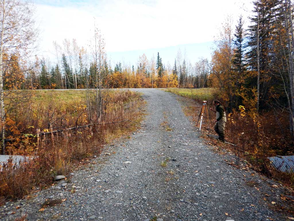
Region: South Central
Road Name: Driveway
Datum: NAD83
Quad Name / ITM: Valdez D-4
AWC Stream #:
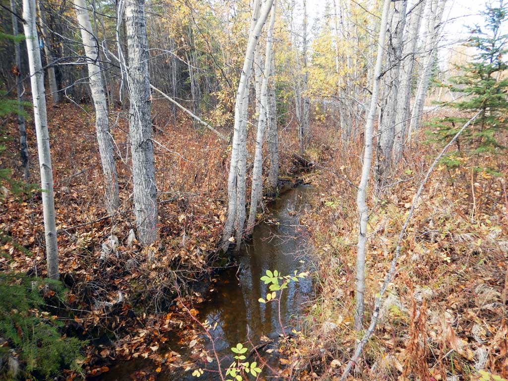
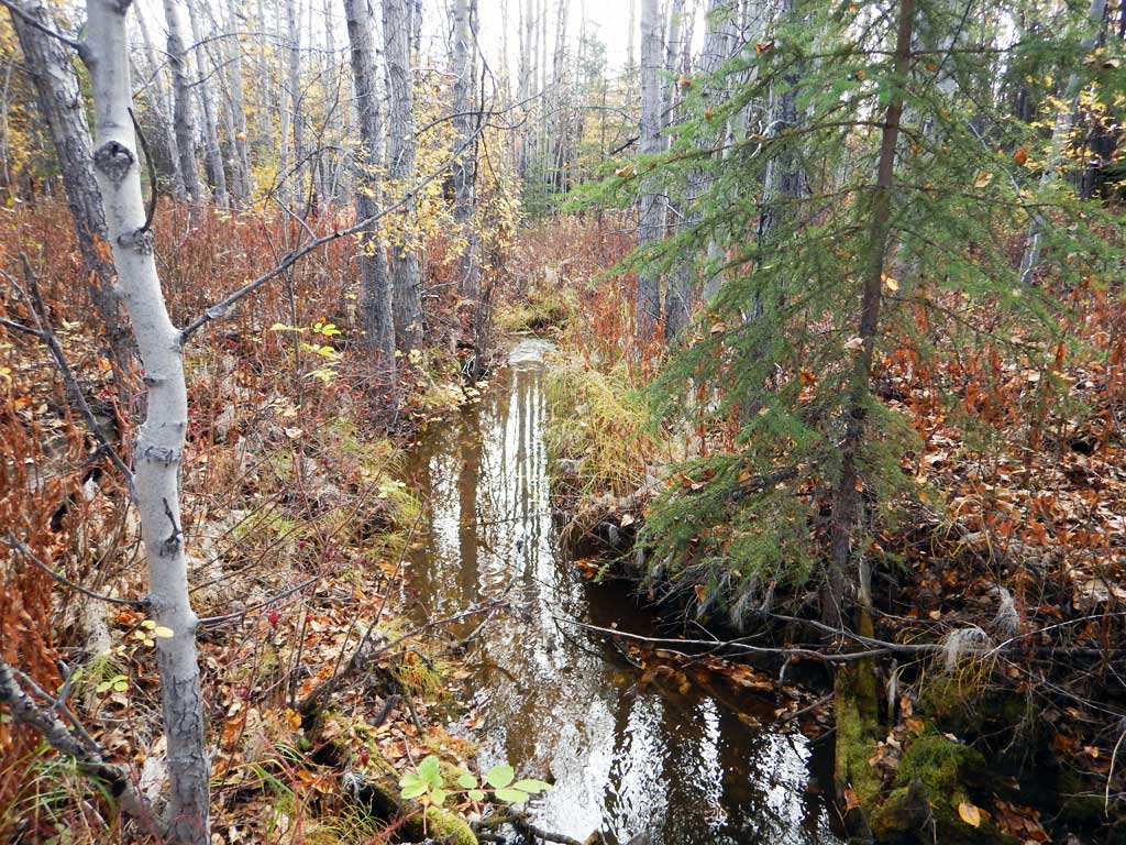
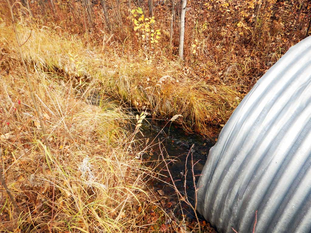
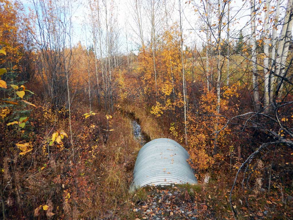
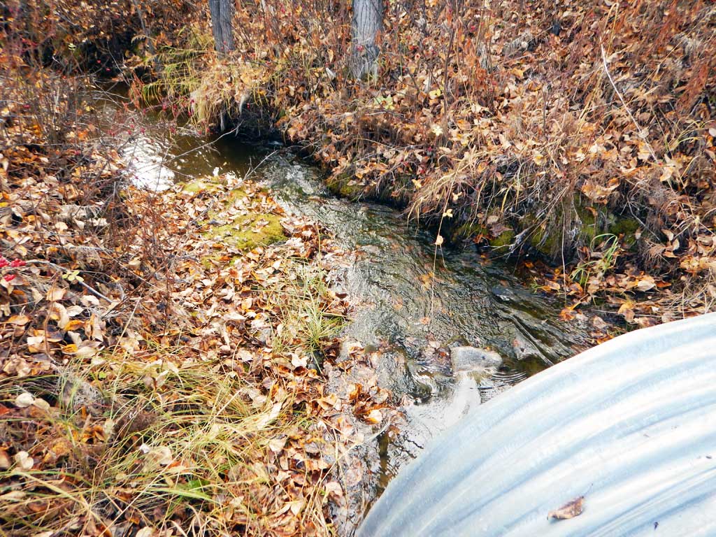
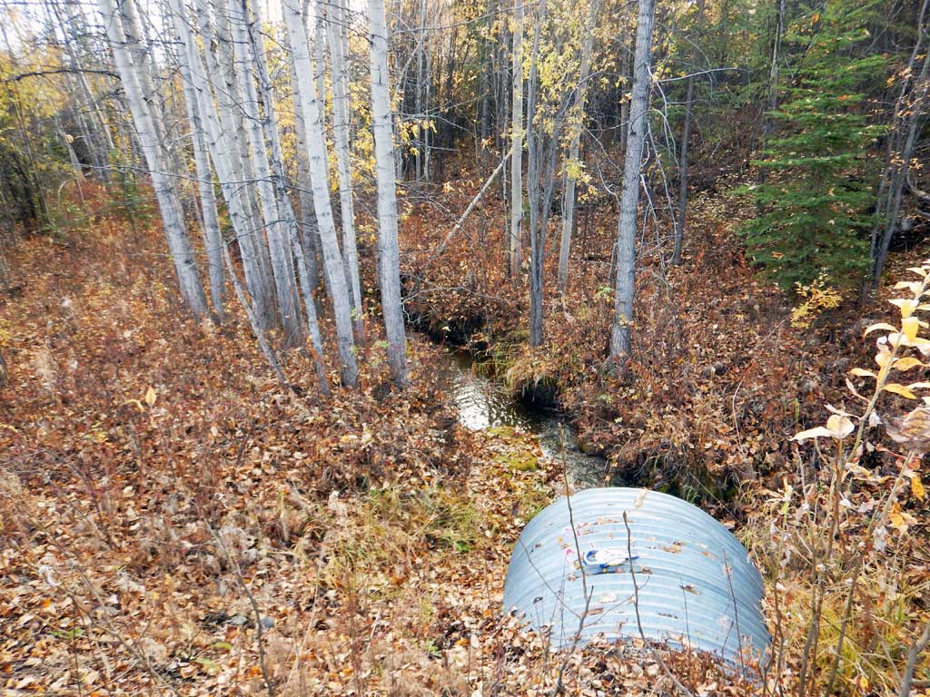
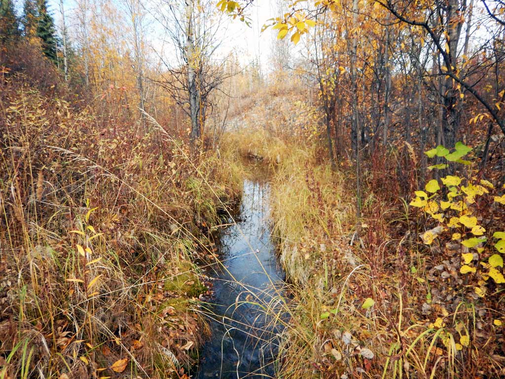
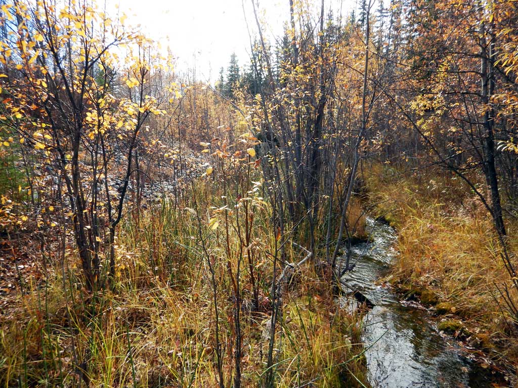
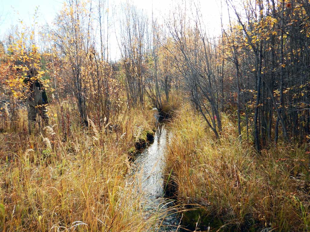
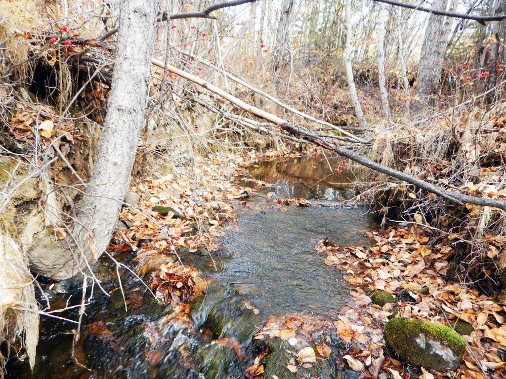
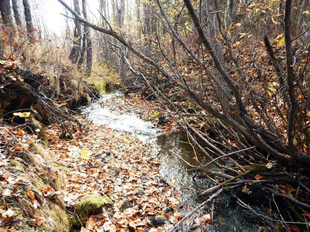
Stream Name: Yetna Creek
Elevation:
Site Comments: Driveway off of Richardson Highway at about milepost 104.1
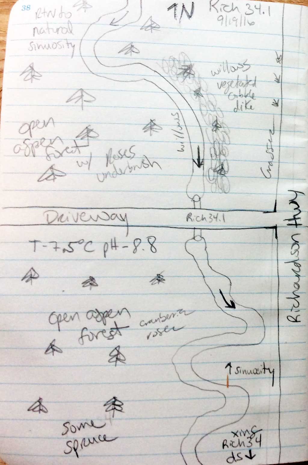
Survey CRWP17-Rich34.1
Observers: Kirsti Jurica, Hoots Witsoe
Overall Fish Passage Rating:
Tidal: No
Backwatered: No
Step Pools: No
Construction Year:
Site Observations:
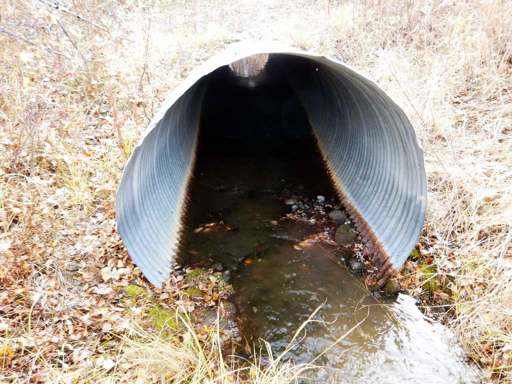
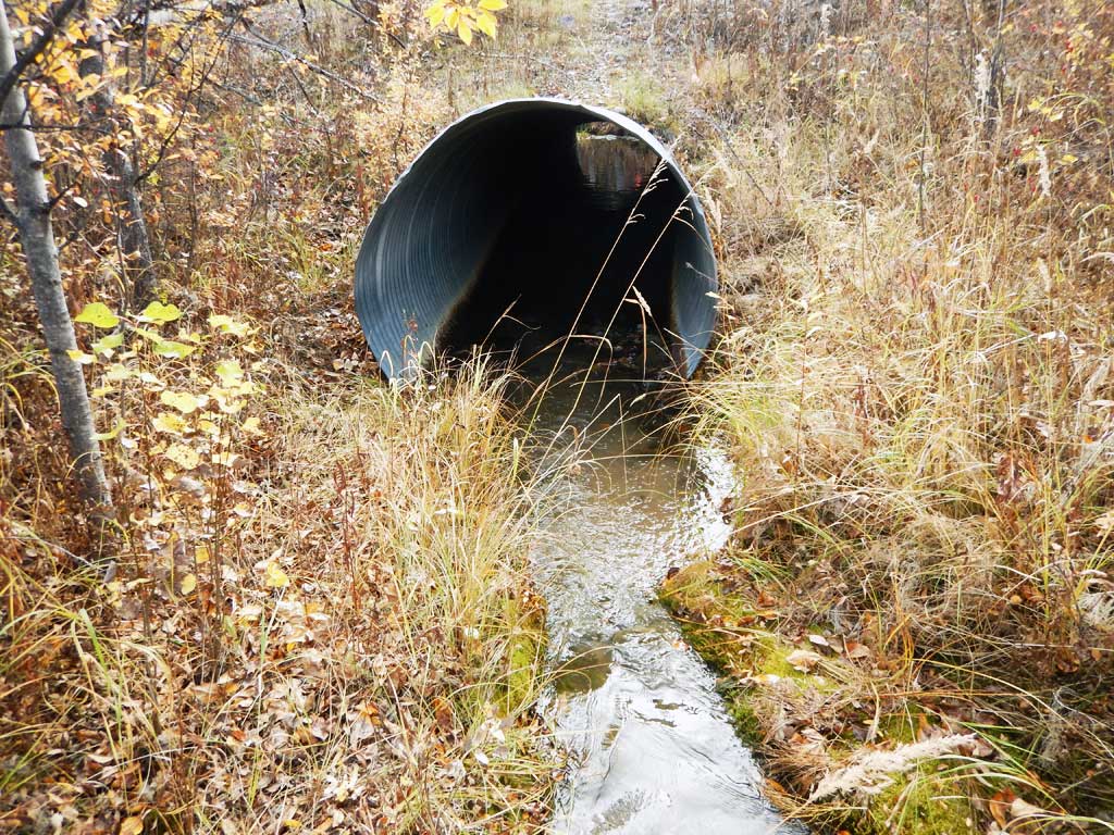
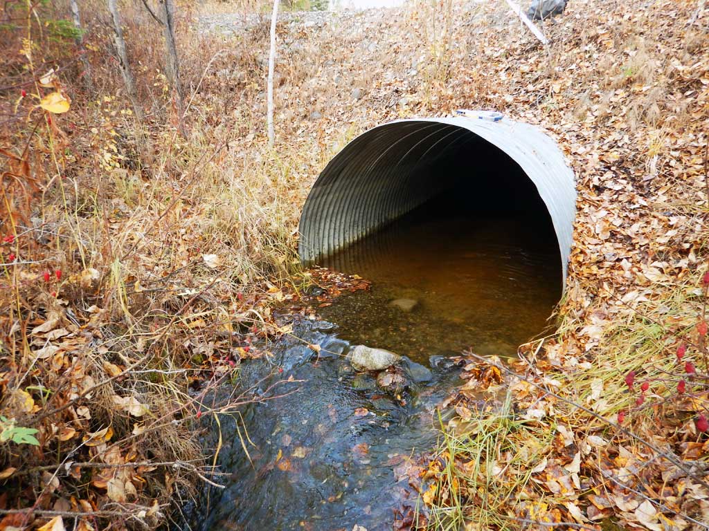
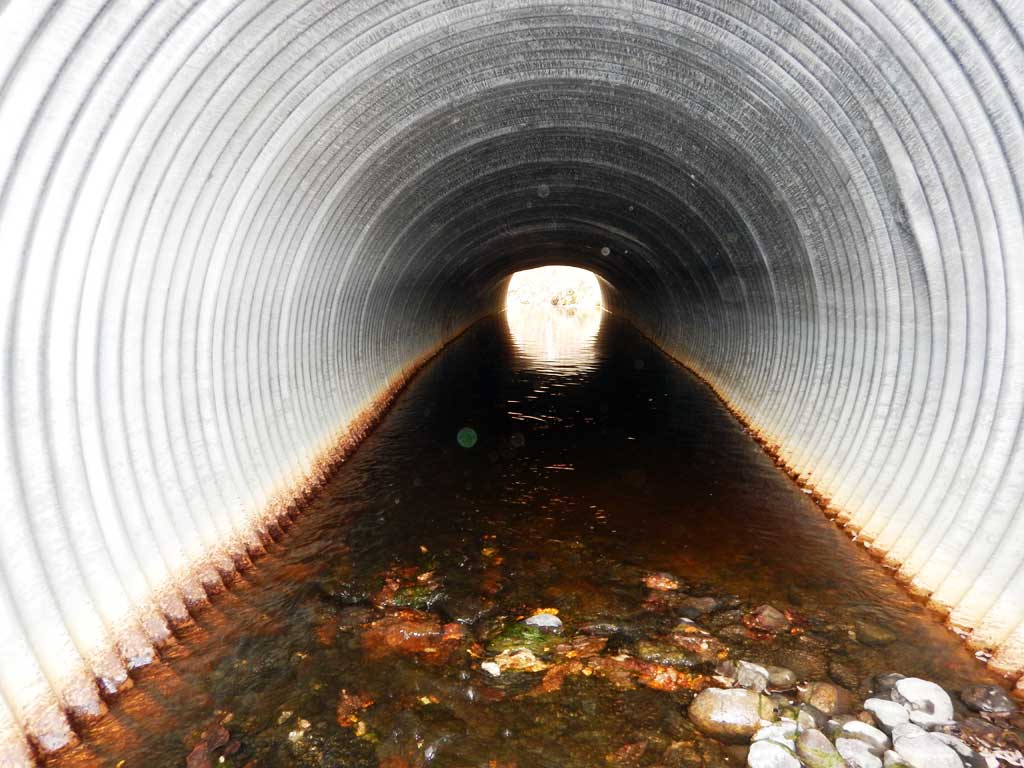
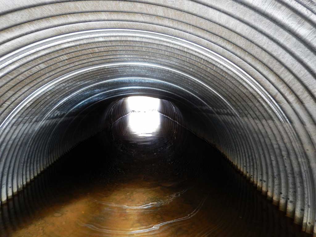
- Culvert gradient red
- Sediment accumulation
- Culvert sagging in middle
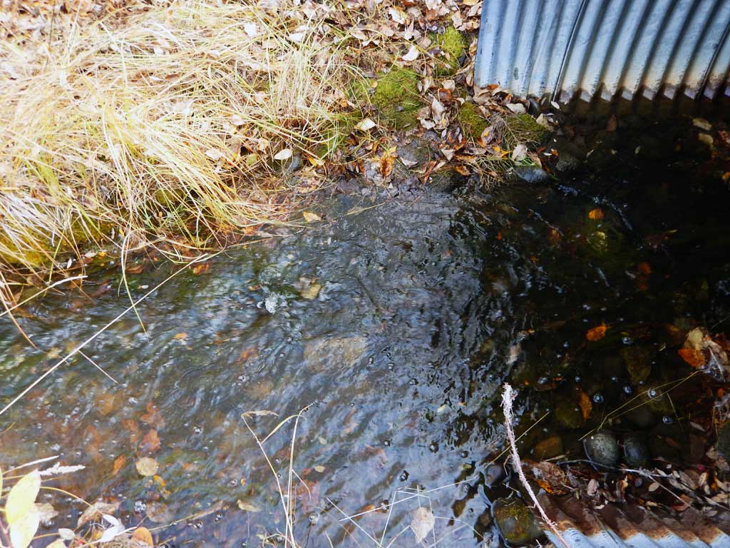
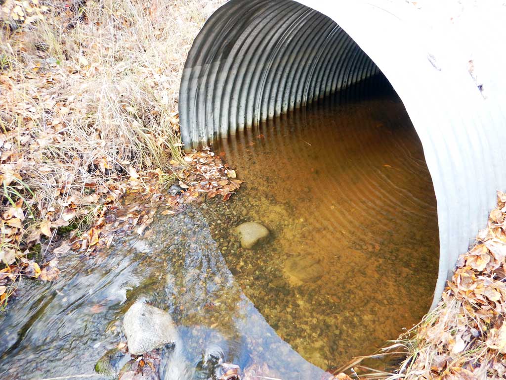
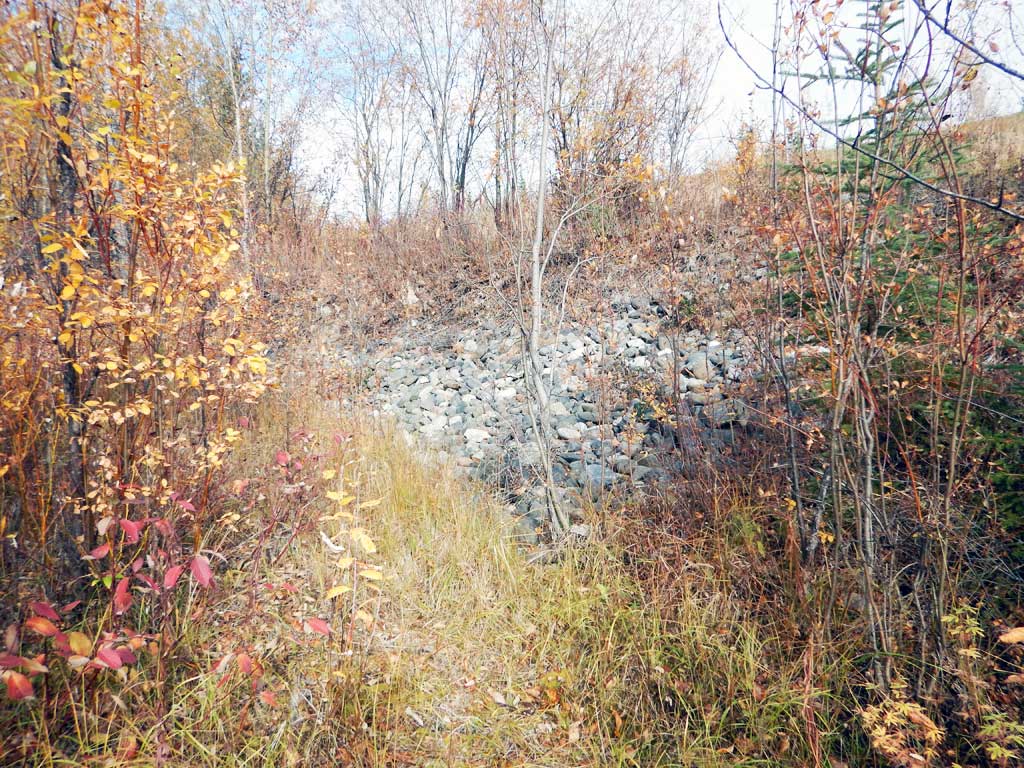
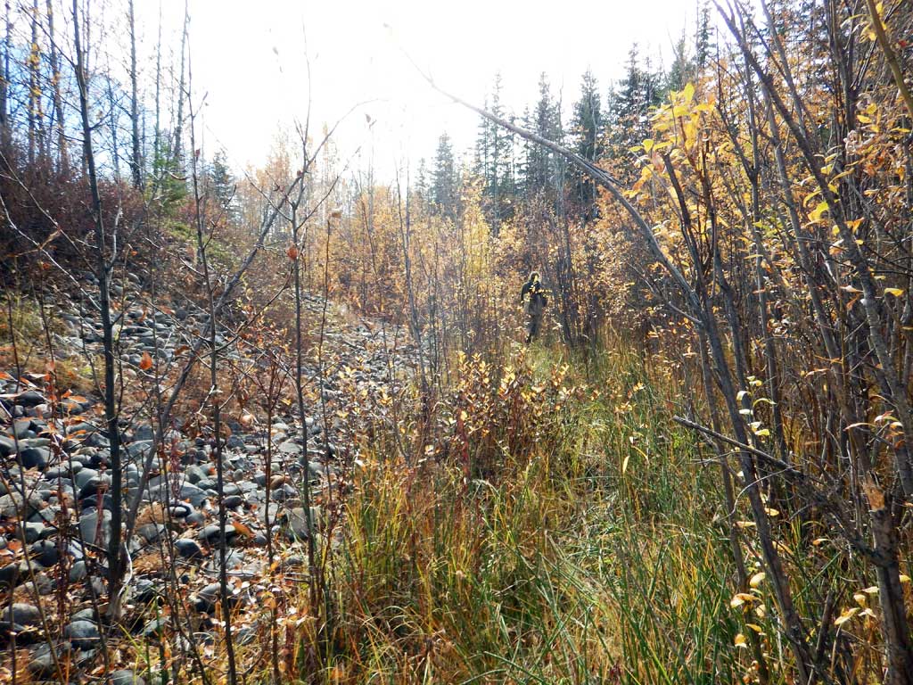
Comments: Culvert assessment performed and submitted by the Copper River Watershed Project. Sedimentation occurring in pipe and at outlet.
Culvert Measurements
| ID: 1 | Structure Type: Circular pipe (Corrugated steel) | Fish Passage Rating: | |||||||||||||||||||||||||||||||||||||||||
|
|
|
|||||||||||||||||||||||||||||||||||||||||
Comments: Outlet substrate maybe greater than 1.7 feet, unsure if they hit bottom. Water surface gradient through cuvlert 0.27%, substrate gradient through culvert 0.31%. |
|||||||||||||||||||||||||||||||||||||||||||
Culvert Observations:
|
|||||||||||||||||||||||||||||||||||||||||||
Stream Measurements
|
|
| Stream Width Type | Distance From Crossing (ft) |
Stream Width (ft) |
|---|---|---|
| Downstream ordinary high water | 6.80 | |
| Downstream ordinary high water | 6.00 | |
| Downstream ordinary high water | 6.20 | |
| Upstream ordinary high water | 6.60 | |
| Upstream ordinary high water | 6.80 | |
| Upstream ordinary high water | 6.20 |
Elevations
| Locator ID | Culvert Number |
River Distance (ft)1 |
Distance From Crossing (ft)2 |
Relative Elevation (ft) |
|---|---|---|---|---|
| Road Elev | 100.00 | |||
| D/S Grade Ctrl (Thalweg) | 0.00 | 91.14 | ||
| D/S Water Surface Elev | 0.00 | 91.60 | ||
| Outlet Pool Water Elev | 66.00 | 91.88 | ||
| Max Pool Depth | 66.00 | 90.58 | ||
| D/S Tailcrest or 1st Thalweg (Head of outlet riffle, no outlet pool) | 82.00 | 92.22 | ||
| D/S Water Surface Elev | 82.00 | 92.45 | ||
| D/S Water Surface Elev | 84.00 | 92.48 | ||
| Outlet Invert (on substrate) | 84.00 | 92.06 | ||
| Outlet Culvert Top | 84.00 | 96.06 | ||
| Inlet Culvert Top | 132.00 | 97.57 | ||
| U/S Water Surface Elev | 132.00 | 92.61 | ||
| Inlet Culvert Invert (on substrate) | 132.00 | 92.21 | ||
| U/S Grade Ctrl (Thalweg) | 143.00 | 92.50 | ||
| U/S Water Surface Elev | 143.00 | 92.93 | ||
| U/S Water Surface Elev | 204.00 | 93.01 | ||
| U/S Grade Ctrl (Thalweg) | 204.00 | 92.27 |
Notes:
- River distance is measured continuously throughout the survey reach along the thalweg of the stream.
- Measured from each end of the crossing along the thalweg of the stream.
Fish Sampling Efforts
| Gear Type: Minnow Trap (A) | Trap Duration(h): 18.0 | |
| Comments: No fish caught | ||
Fish Observations
No fish observations occurred during this survey.
Photos
Questions or comments about this report can be directed to dfg.dsf.webmaster@alaska.gov