Fish Passage Site 20103767
Coordinates (dec. deg.): 61.40504°, -143.00044°
Legal Description: C005S013E25
Region: South Central
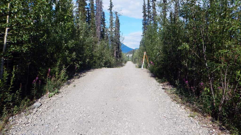
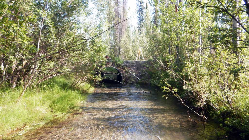
Road Name: Kennicott River Airstrip Road
Datum: NAD83
Quad Name / ITM: Mc Carthy B-6
AWC Stream #:
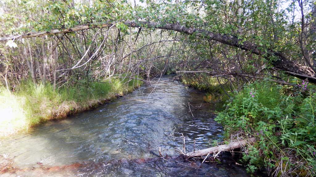
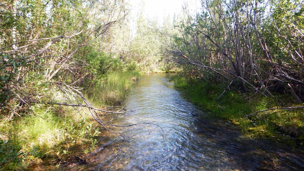
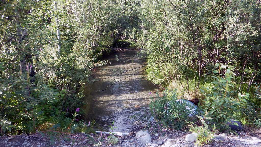
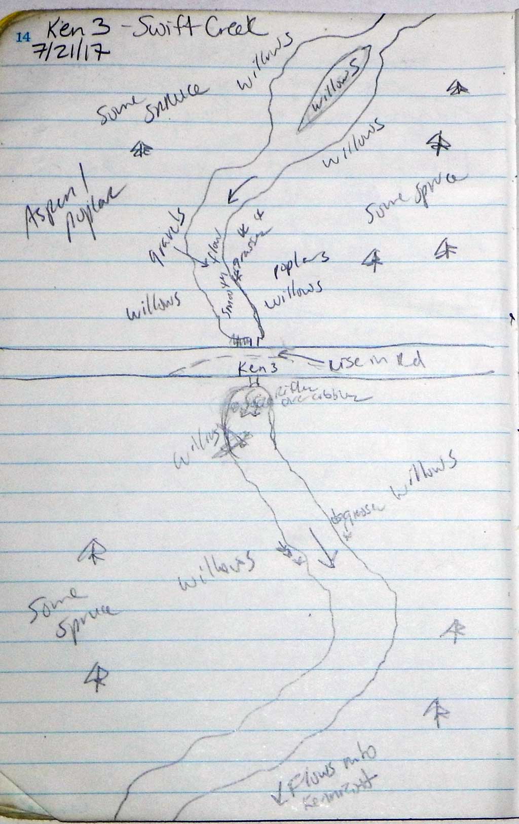
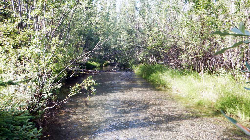
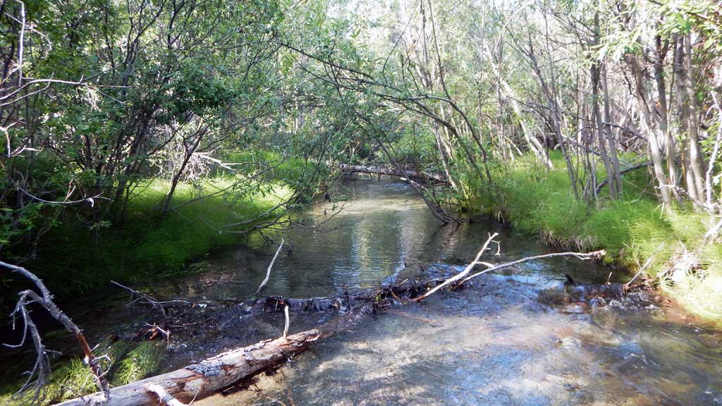
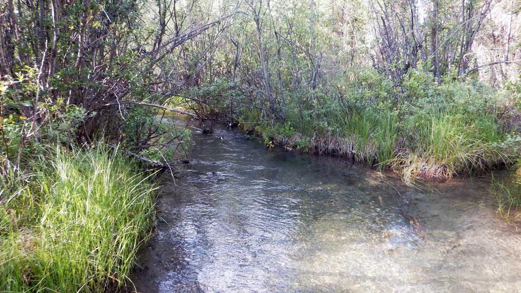
Stream Name: Swift Creek
Elevation:
Site Comments: DOT ID: 64336
Survey CRWP17-Ken3
Observers: Kirsti Jurica, Hoots Witsoe
Overall Fish Passage Rating:
Tidal: No
Backwatered: No
Step Pools: No
Construction Year:
Site Observations:
- Constriction ratio gray
- Culvert gradient gray
- Outfall height red
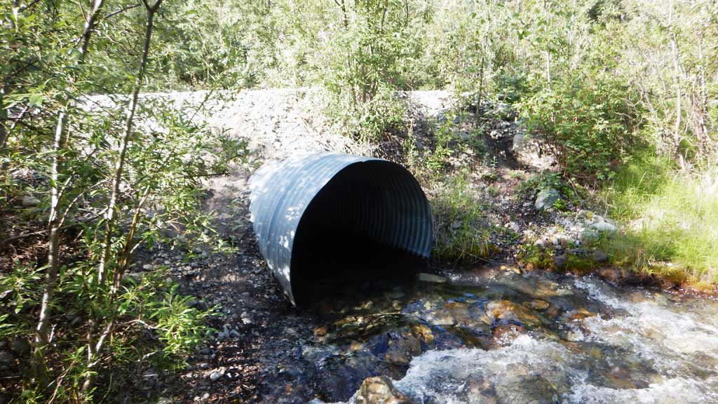
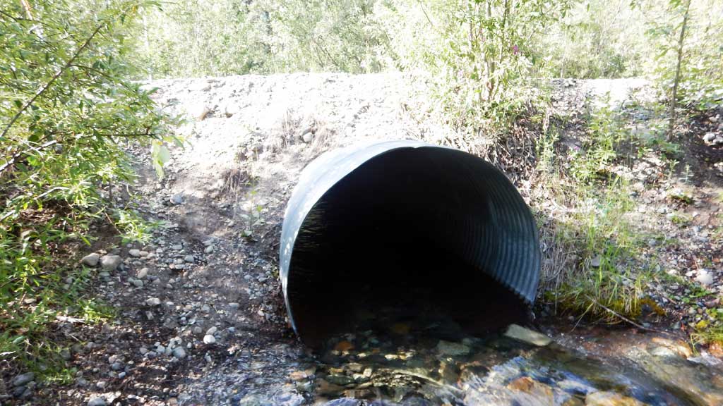
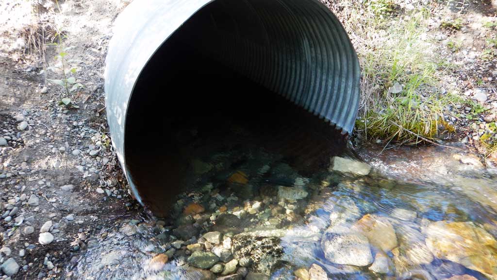
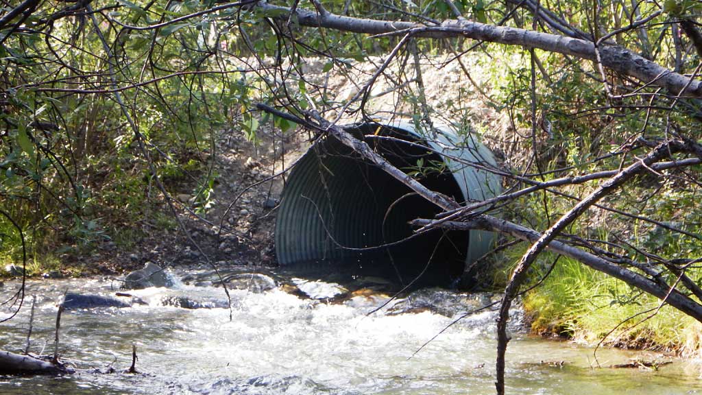
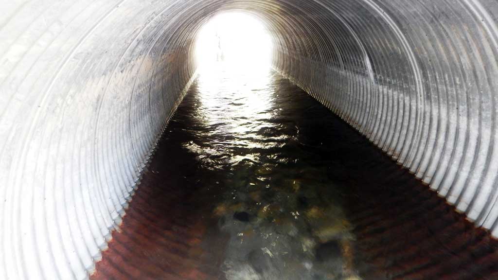
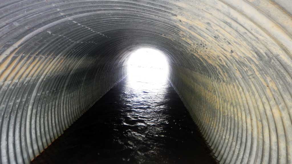
Comments: Road built up at crossing. Numerous juvenile Dolly Varden char caught upstream and downstream.
Culvert Measurements
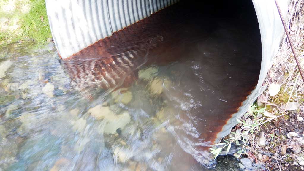
| ID: 1 | Structure Type: Circular pipe (Corrugated steel) | Fish Passage Rating: | |||||||||||||||||||||||||||||||||||||||||
|
|
|
|||||||||||||||||||||||||||||||||||||||||
Culvert Observations:
|
|||||||||||||||||||||||||||||||||||||||||||
Stream Measurements
|
|
| Stream Width Type | Distance From Crossing (ft) |
Stream Width (ft) |
|---|---|---|
| Downstream ordinary high water | 12.10 | |
| Downstream ordinary high water | 8.80 | |
| Downstream ordinary high water | 11.80 | |
| Upstream ordinary high water | 11.90 | |
| Upstream ordinary high water | 9.10 | |
| Upstream ordinary high water | 11.80 |
Elevations
| Locator ID | Culvert Number |
River Distance (ft)1 |
Distance From Crossing (ft)2 |
Relative Elevation (ft) |
|---|---|---|---|---|
| Road Elev | 101.38 | |||
| D/S Water Surface Elev | 0.00 | 95.71 | ||
| D/S Grade Ctrl (Thalweg) | 0.00 | 94.81 | ||
| D/S Water Surface Elev | 30.00 | 95.74 | ||
| D/S Tailcrest or 1st Thalweg | 30.00 | 94.10 | ||
| Outlet Pool Water Elev | 42.00 | 95.96 | ||
| Max Pool Depth | 42.00 | 95.18 | ||
| Outlet Invert (on substrate) | 46.00 | 95.23 | ||
| D/S Water Surface Elev | 46.00 | 96.36 | ||
| Outlet Culvert Top | 46.00 | 99.63 | ||
| Inlet Culvert Top | 75.00 | 100.00 | ||
| U/S Water Surface Elev | 75.00 | 96.37 | ||
| Inlet Culvert Invert (on substrate) | 75.00 | 94.94 | ||
| U/S Grade Ctrl (Thalweg) | 89.00 | 95.47 | ||
| U/S Water Surface Elev | 89.00 | 96.47 | ||
| U/S Water Surface Elev | 132.00 | 96.69 | ||
| U/S Grade Ctrl (Thalweg) | 132.00 | 95.74 |
Notes:
- River distance is measured continuously throughout the survey reach along the thalweg of the stream.
- Measured from each end of the crossing along the thalweg of the stream.
Fish Sampling Efforts
| Gear Type: Minnow Trap (A) | Trap Duration(h): 22.0 | |
| Gear Type: Minnow Trap (B) | Trap Duration(h): 22.0 | |
| Gear Type: Minnow Trap (C) | Trap Duration(h): 22.0 | |
| Comments: No fish caught | ||
| Gear Type: Minnow Trap (D) | Trap Duration(h): 22.0 | |
| Gear Type: Minnow Trap (E) | Trap Duration(h): 22.0 | |
| Gear Type: Minnow Trap (F) | Trap Duration(h): 22.0 | |
Fish Observations
| Species: juvenile coho salmon | Life History: Anadromous | ||
| Total Fish Observed: 3 | Fish Measured: 3 | Fork Lengths (mm) Min: 50 Max: 65 Mean: 58 | |
| Collected/Observed by Gear Type: Not Recorded Minnow Trap (1) Not Recorded Minnow Trap (2) | |||
| Species: juvenile/adult Dolly Varden | Life History: Unknown | ||
| Total Fish Observed: 17 | Fish Measured: 10 | Fork Lengths (mm) Min: 60 Max: 100 Mean: 80 | |
| Collected/Observed by Gear Type: Not Recorded Minnow Trap (5) Not Recorded Minnow Trap (5) Not Recorded Minnow Trap (3) Not Recorded Minnow Trap (2) Not Recorded Minnow Trap (2) | |||
Photos


Questions or comments about this report can be directed to dfg.dsf.webmaster@alaska.gov