Fish Passage Site 20103765
Coordinates (dec. deg.): 61.43431°, -142.92755°
Legal Description: C005S014E17
Region: South Central
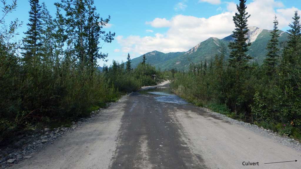
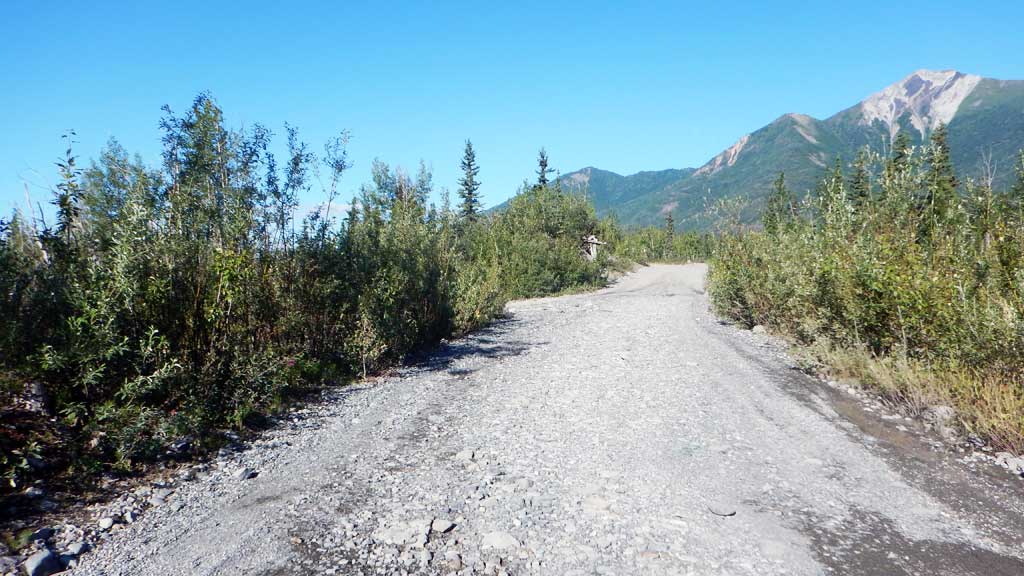
Road Name: McCarthy Town Road
Datum: NAD83
Quad Name / ITM: Mc Carthy B-6
AWC Stream #: 212-20-10080-2300-3511-4035-5019
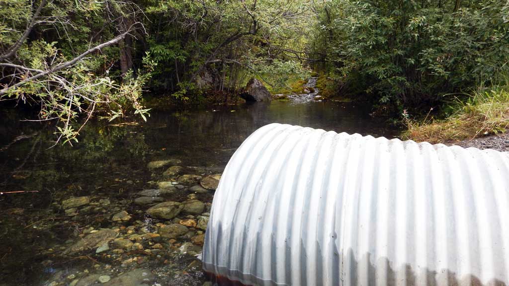
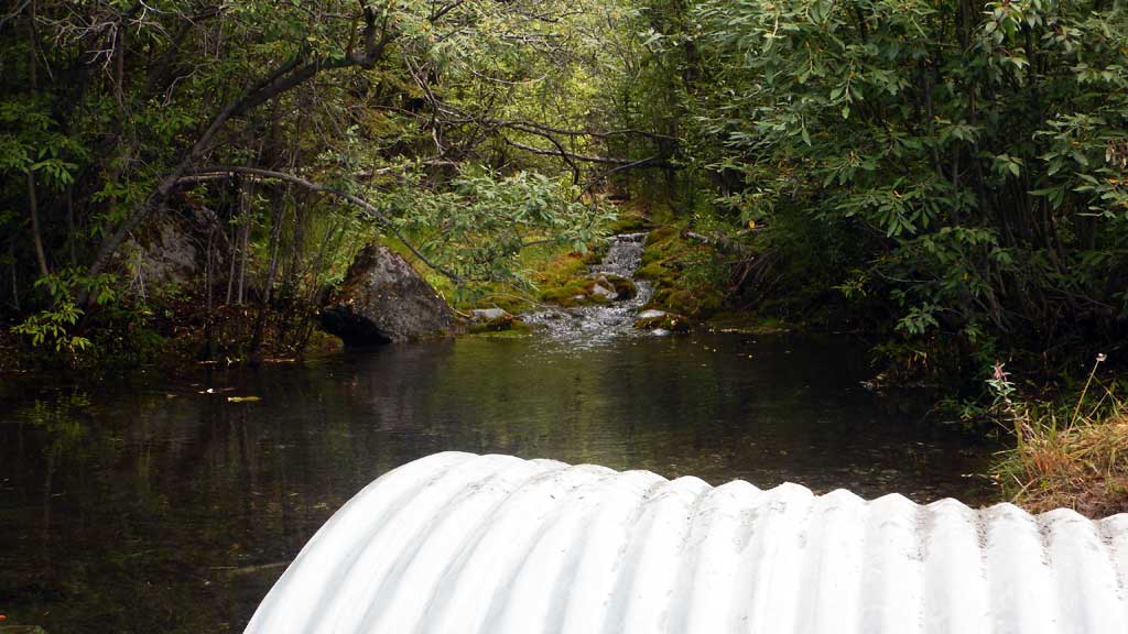
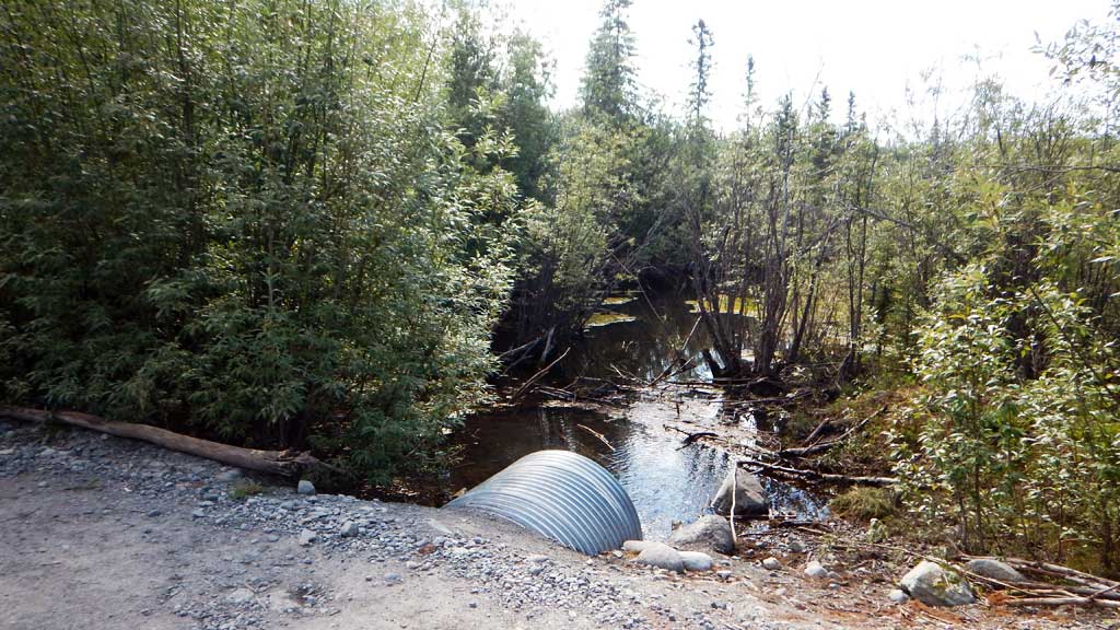
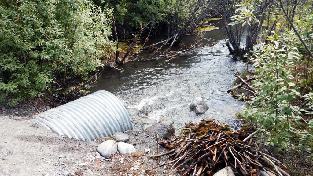
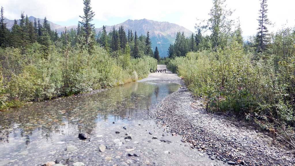
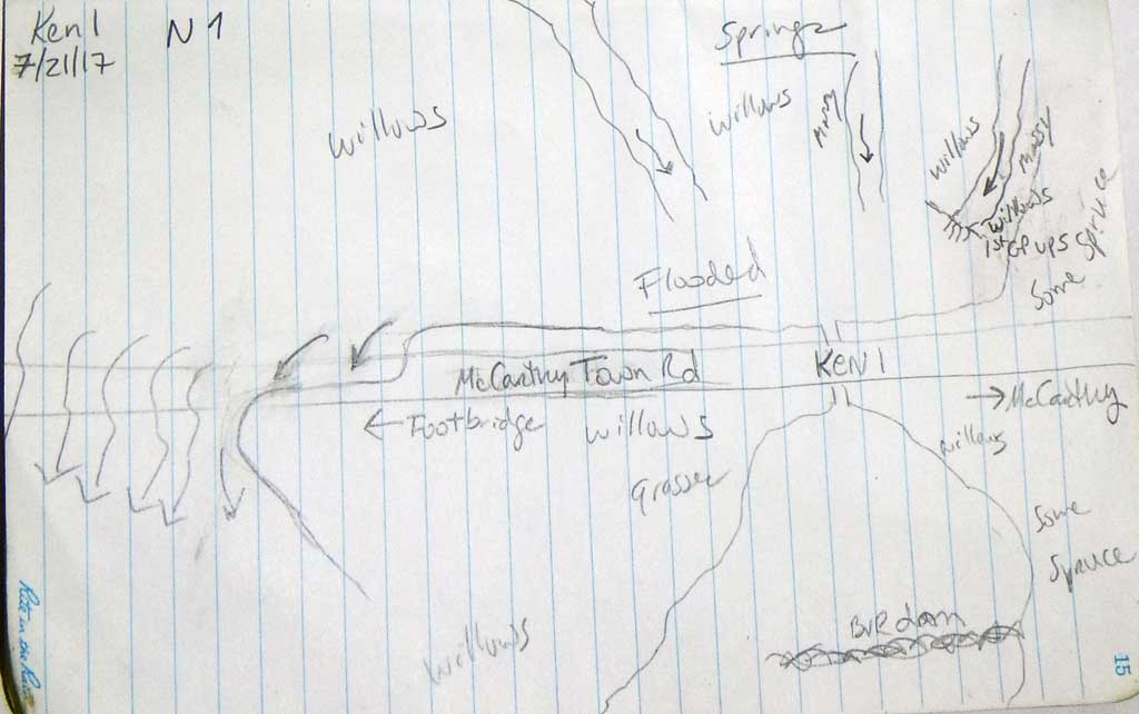
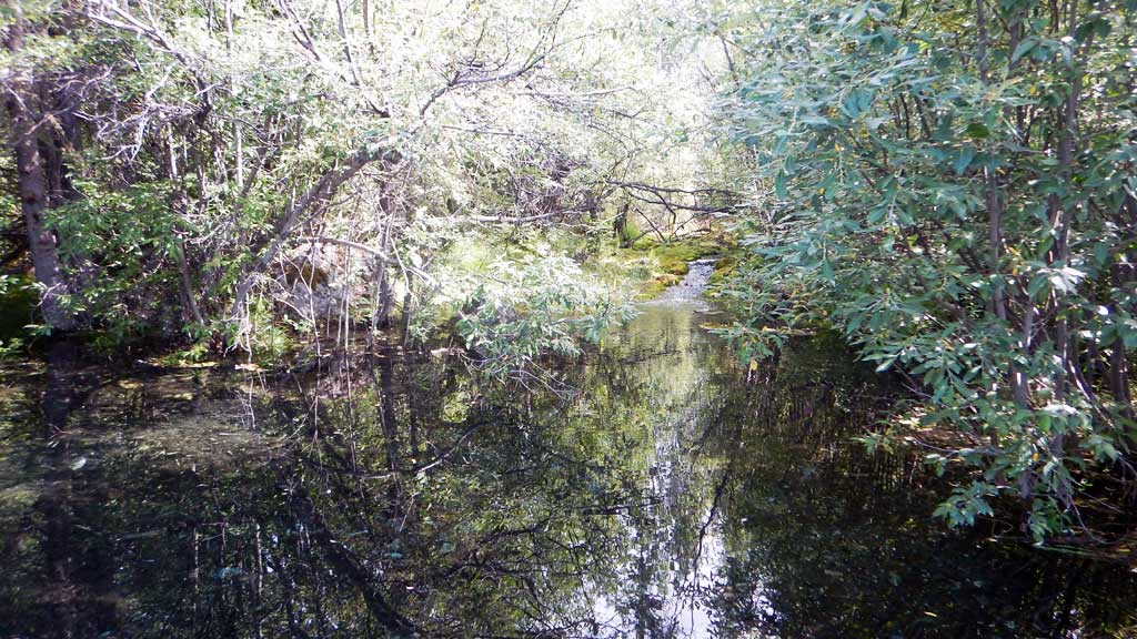
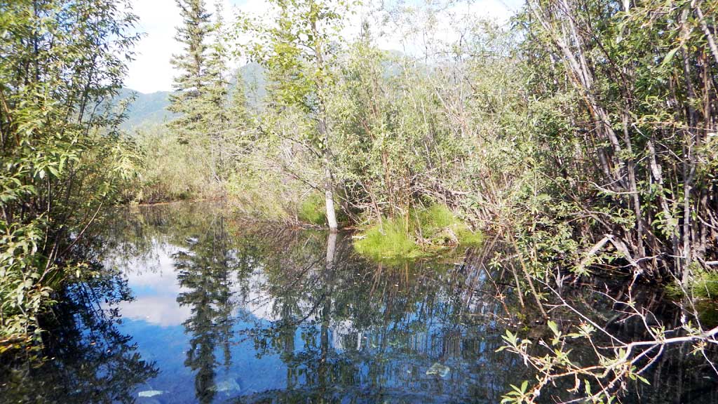
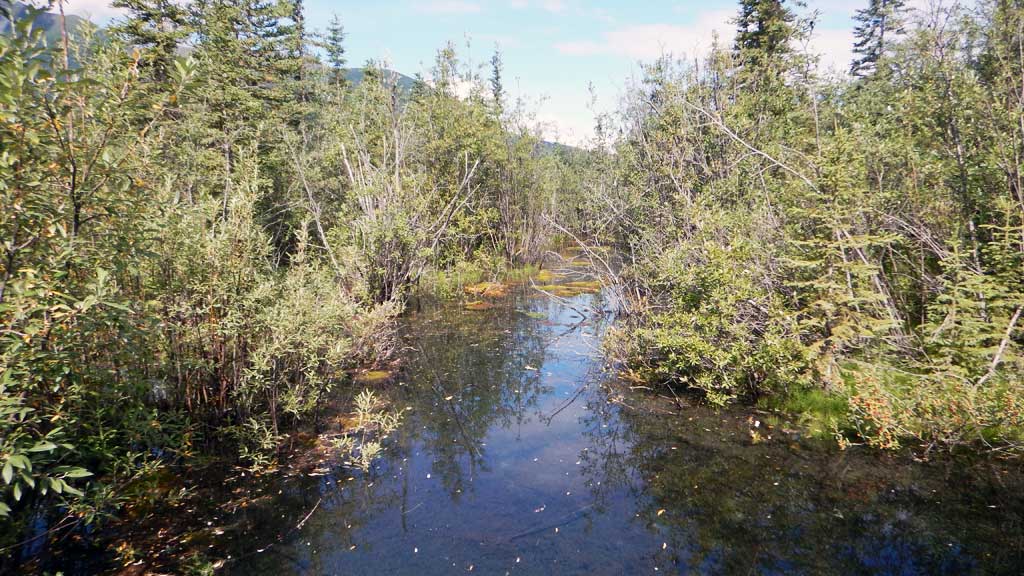
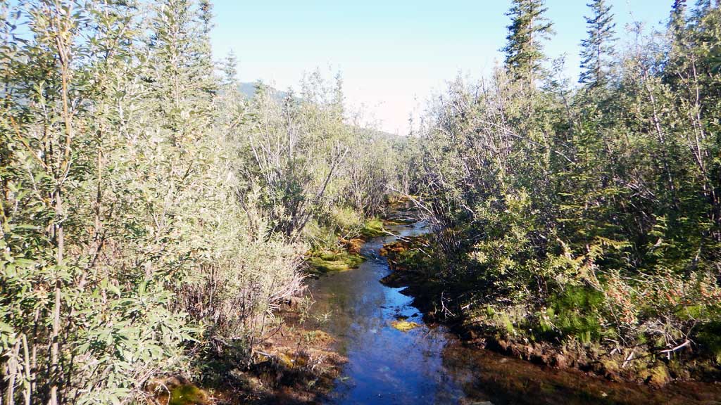
Stream Name: Clear Creek
Elevation:
Site Comments: None
Survey CRWP17-Ken1
Observers: Kirsti Jurica, Hoots Witsoe
Overall Fish Passage Rating:
Tidal: No
Backwatered: No
Step Pools: No
Construction Year:
Site Observations:
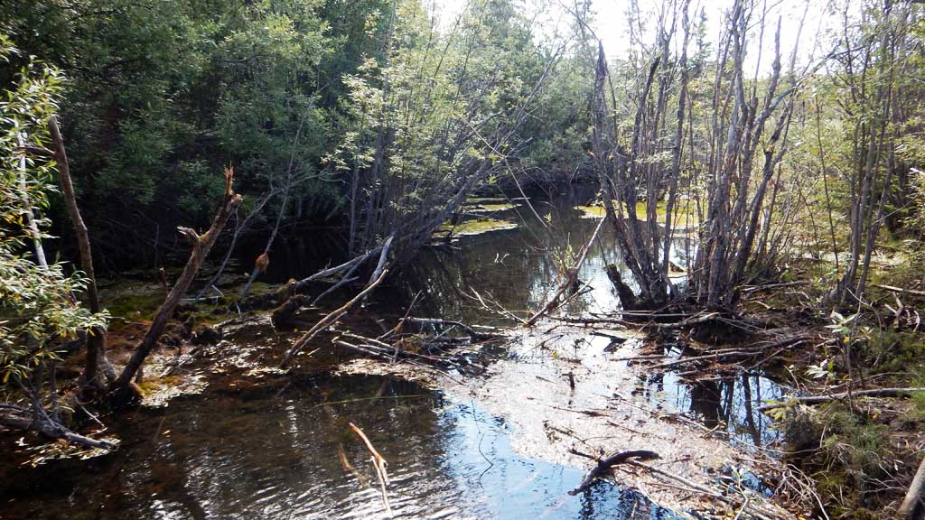
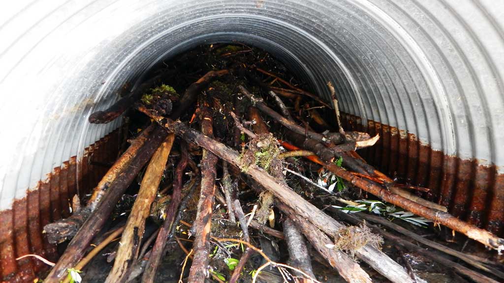
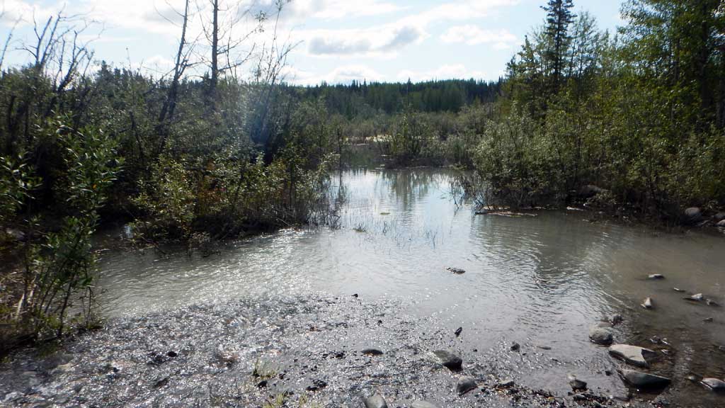
- Beaver Activity
- Shallow fill; inadequate roadfill volume above culvert
- Culvert gradient red
- Hydraulic flows exceeded capacity
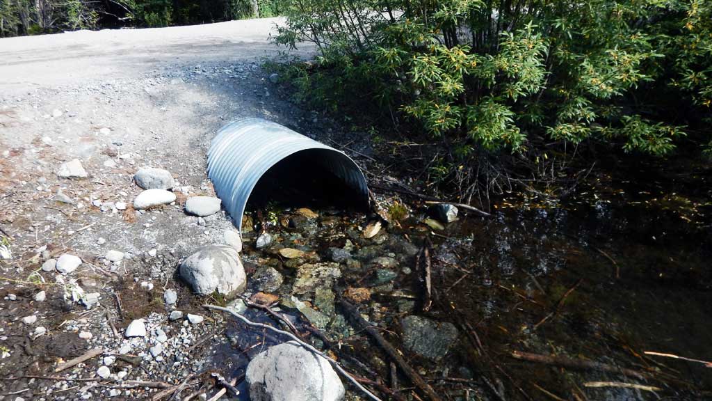
Comments: Culvert assessment performed and submitted by the Copper River Watershed Project. Beaver dam in outlet and cleared during site visit. Water levels dropped. Water surface elevations taken when dam was intact. Area and road flooded before dam removal. Springs upstream and downstream, community drinking water. Coho spawning and rearing in this system.
Culvert Measurements
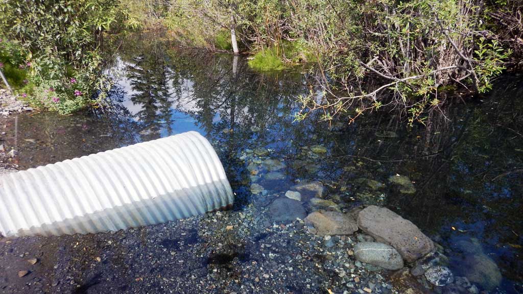
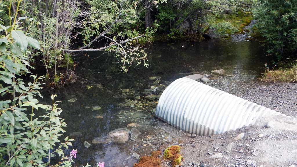
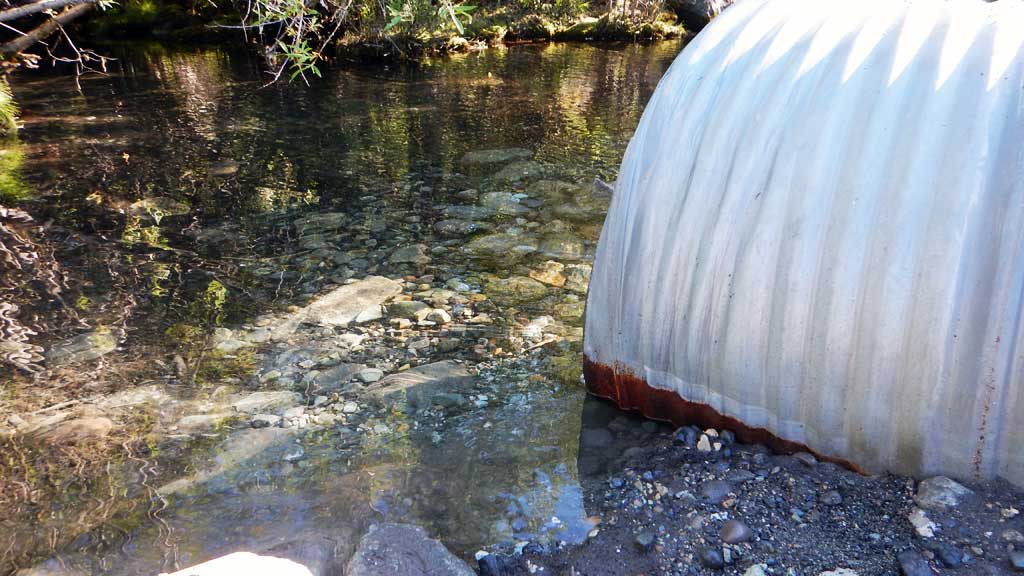
| ID: 1 | Structure Type: Circular pipe (Corrugated steel) | Fish Passage Rating: | |||||||||||||||||||||||||||||||||||||||||
|
|
|
|||||||||||||||||||||||||||||||||||||||||
Comments: Beaver dam was inside outlet and removed during site visit. |
|||||||||||||||||||||||||||||||||||||||||||
Culvert Observations:
|
|||||||||||||||||||||||||||||||||||||||||||
Stream Measurements
|
|
No stream width data available.
Elevations
| Locator ID | Culvert Number |
River Distance (ft)1 |
Distance From Crossing (ft)2 |
Relative Elevation (ft) |
|---|---|---|---|---|
| Misc. (Low area on road where flooding is occuring approx 100 feet west of culvert) | 96.85 | |||
| Road Elev | 100.50 | |||
| D/S Water Surface Elev | 0.00 | 96.85 | ||
| Max Pool Depth | 0.00 | 95.30 | ||
| Outlet Invert (on substrate) | 55.00 | 96.57 | ||
| D/S Water Surface Elev | 55.00 | 96.87 | ||
| Outlet Culvert Top | 55.00 | 99.38 | ||
| Inlet Culvert Top | 80.00 | 100.00 | ||
| U/S Water Surface Elev | 80.00 | 99.10 | ||
| Inlet Culvert Invert (on substrate) | 80.00 | 96.65 | ||
| U/S Thalweg | 85.00 | 96.36 | ||
| U/S Water Surface Elev (Water surface elevations taken while beaver dam was intact) | 85.00 | 99.11 | ||
| U/S Grade Ctrl (Thalweg) | 100.00 | 99.51 | ||
| U/S Water Surface Elev | 100.00 | 99.66 |
Notes:
- River distance is measured continuously throughout the survey reach along the thalweg of the stream.
- Measured from each end of the crossing along the thalweg of the stream.
Fish Sampling Efforts
| Gear Type: Minnow Trap (A) | Trap Duration(h): 2.0 | |
| Gear Type: Minnow Trap (B) | Trap Duration(h): 2.0 | |
| Gear Type: Minnow Trap (C) | Trap Duration(h): 2.0 | |
Fish Observations
| Species: juvenile coho salmon | Life History: Anadromous | ||
| Total Fish Observed: 5 | Fish Measured: 3 | Fork Lengths (mm) Min: 65 Max: 90 Mean: 75 | |
| Collected/Observed by Gear Type: Not Recorded Minnow Trap (2) Not Recorded Minnow Trap (1) Not Recorded Minnow Trap (2) | |||
Photos

Questions or comments about this report can be directed to dfg.dsf.webmaster@alaska.gov