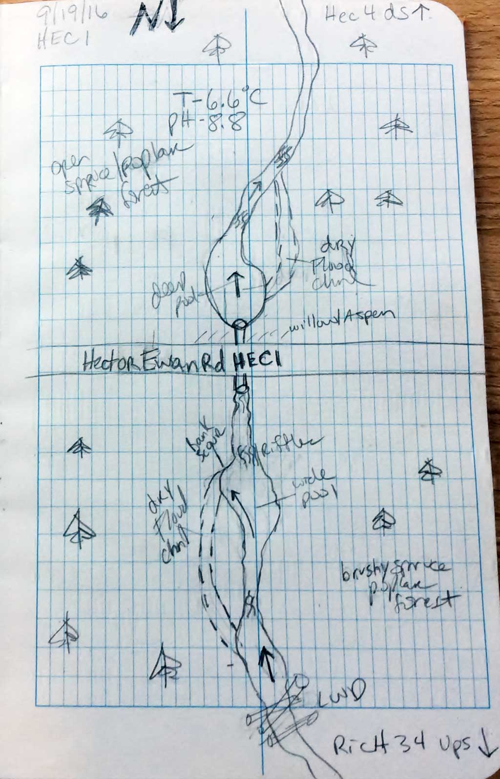
Fish Passage Site 20103763
Coordinates (dec. deg.): 61.98560°, -145.34425°
Legal Description: C002N001W02
Region: South Central
Road Name: Hector Ewan Road
Datum: NAD83
Quad Name / ITM: Valdez D-4
AWC Stream #:
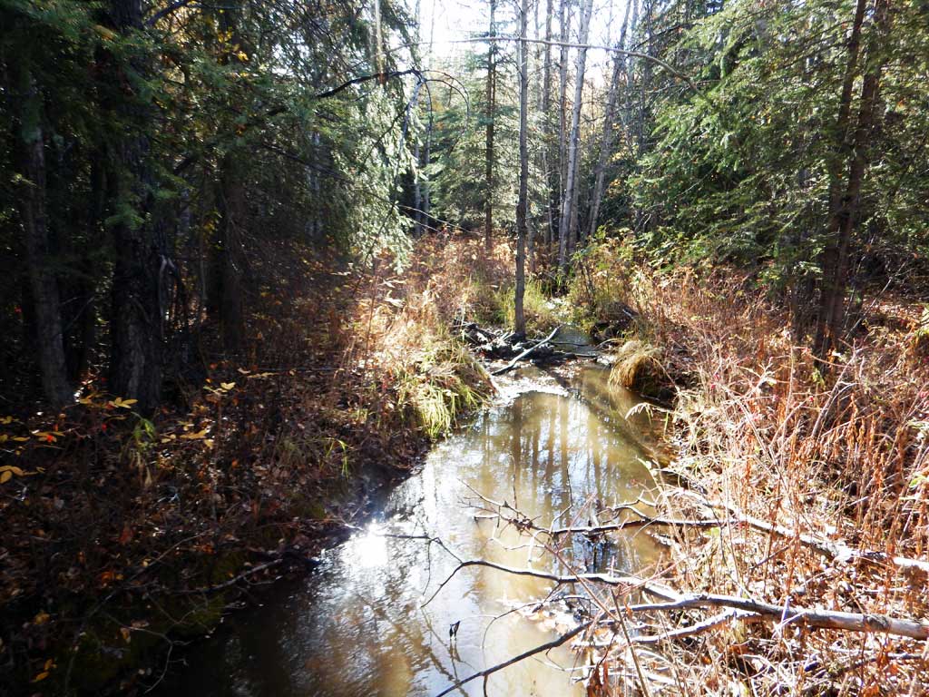
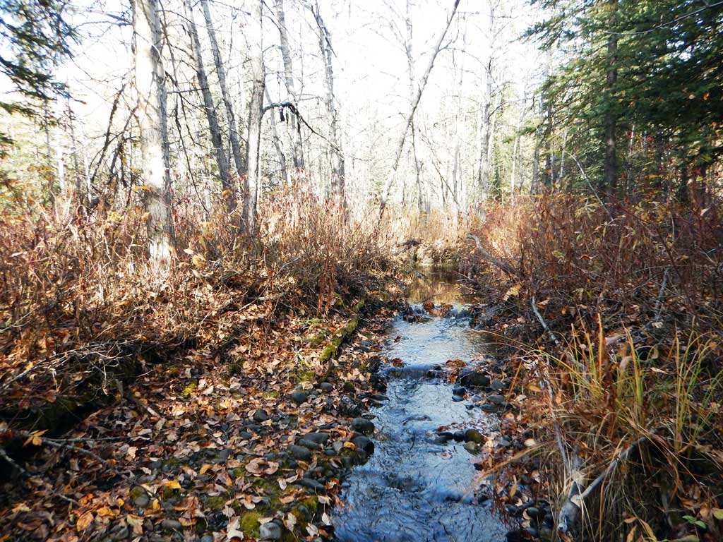
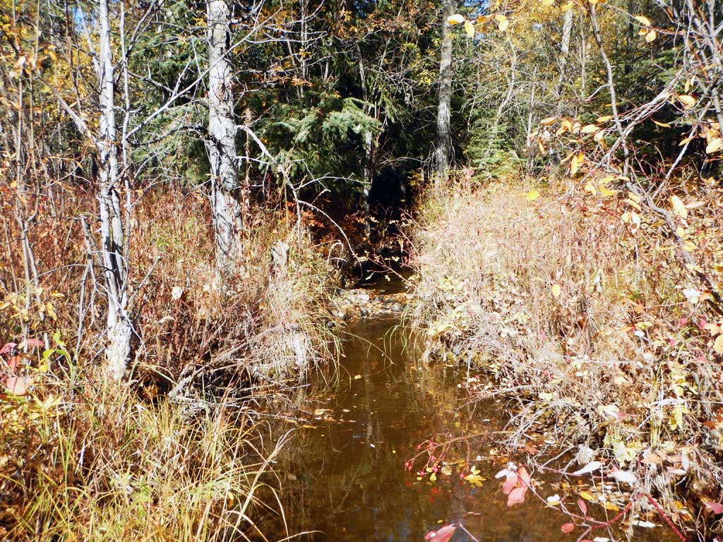
Stream Name: Unnamed
Elevation:
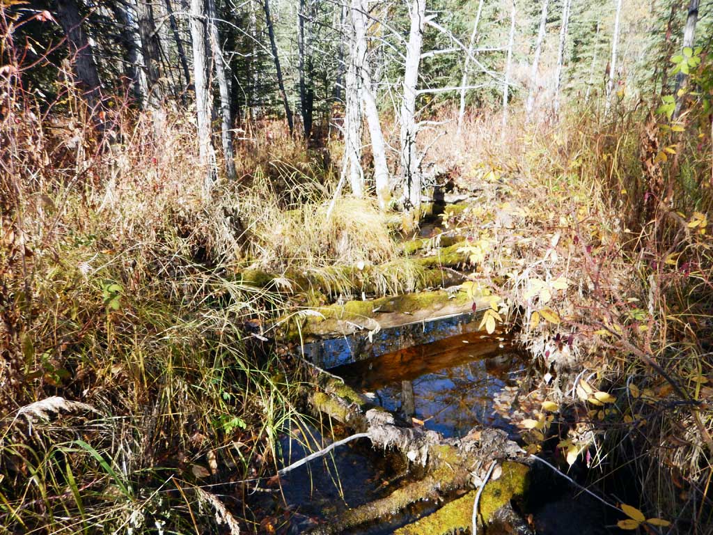
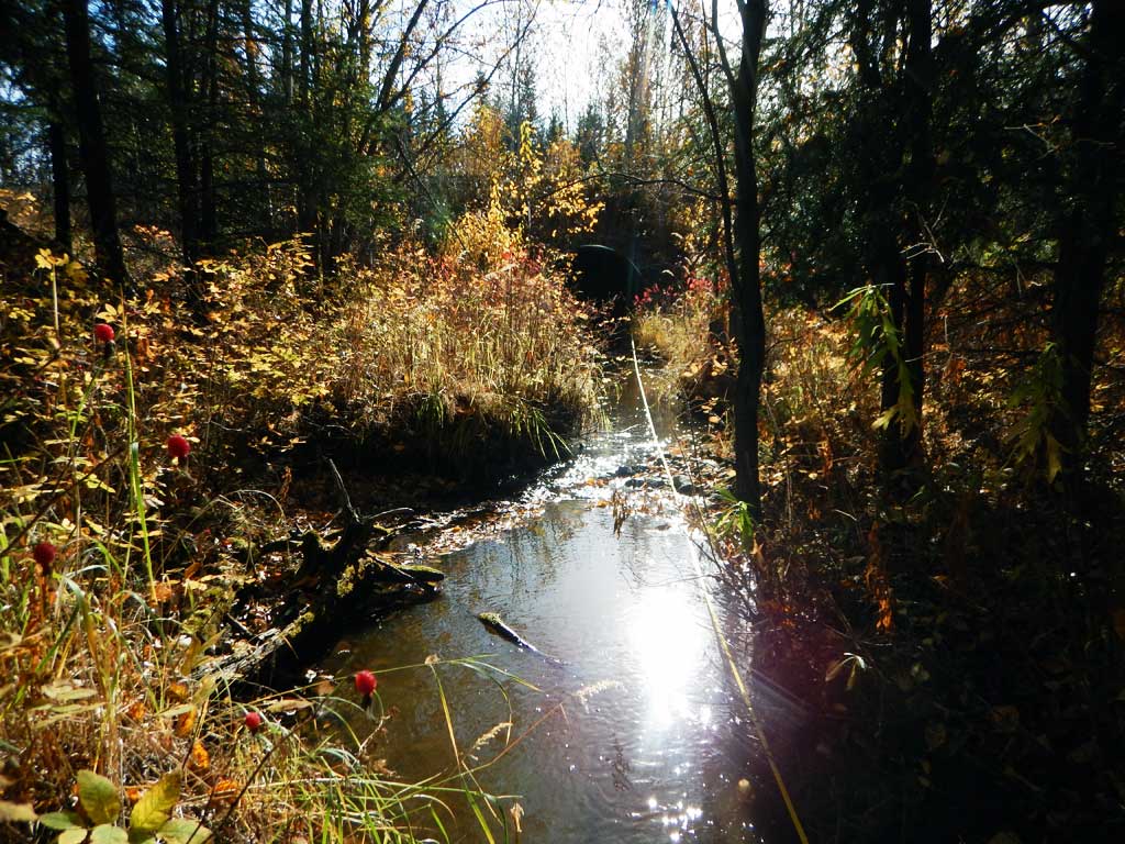
Site Comments: Tributary to Yetna Creek
Survey CRWP17-Hec1
Observers: Kirsti Jurica, Hoots Witsoe
Overall Fish Passage Rating:
Tidal: No
Backwatered: No
Step Pools: No
Construction Year:
Site Observations:
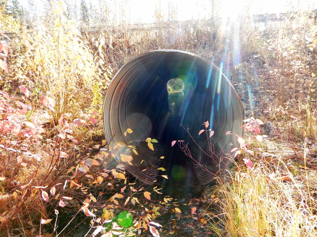
- Culvert gradient red
- Beaver Activity
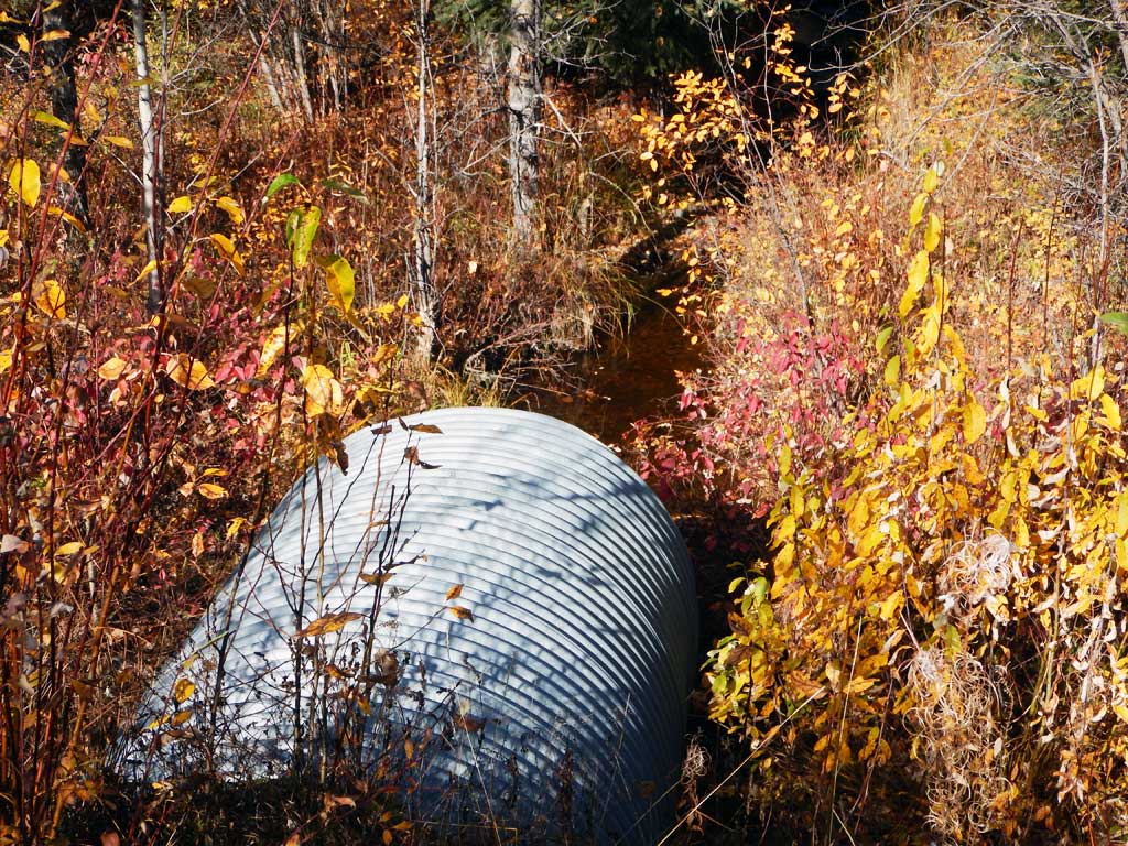
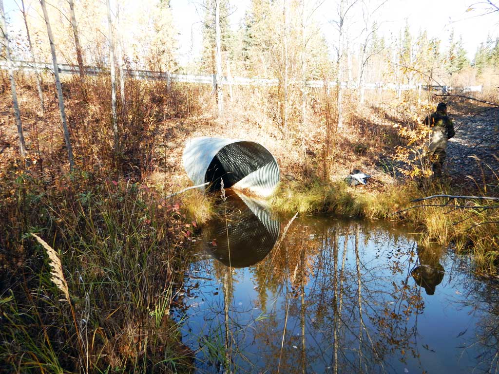
Comments: Culvert assessment performed and submitted by the Copper River Watershed Project. Low water at inlet.
Culvert Measurements
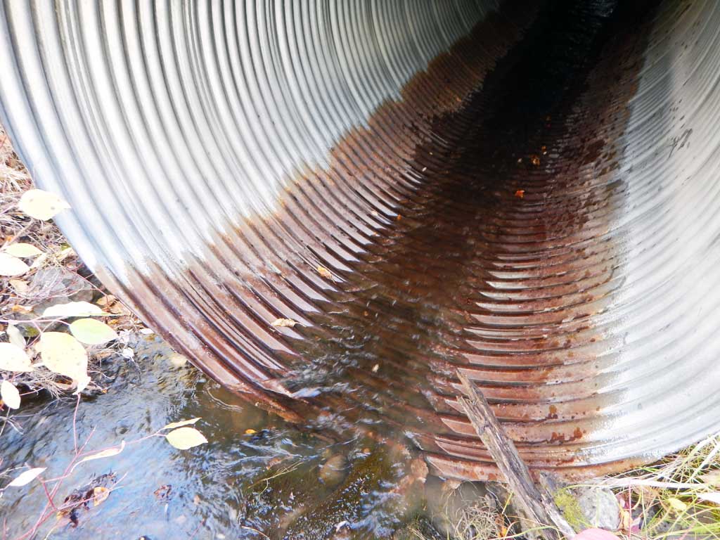
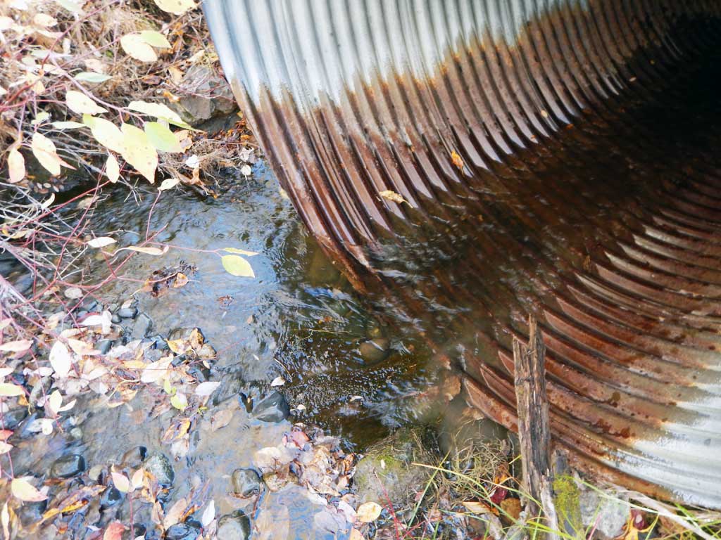
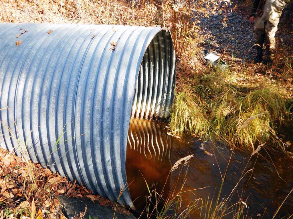
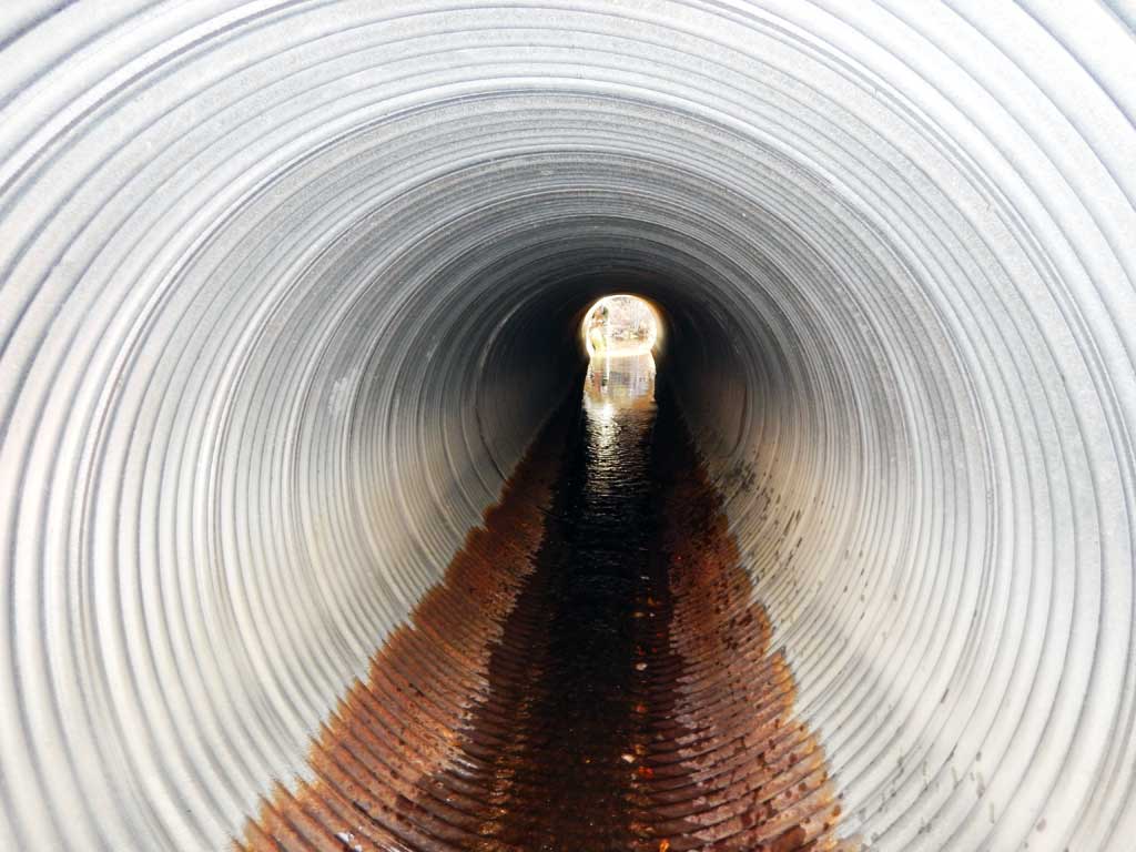
| ID: 1 | Structure Type: Circular pipe (Corrugated steel) | Fish Passage Rating: | |||||||||||||||||||||||||||||||||||||||||
|
|
|
|||||||||||||||||||||||||||||||||||||||||
Comments: Top of culvert elevations used for gradient. |
|||||||||||||||||||||||||||||||||||||||||||
Culvert Observations:
|
|||||||||||||||||||||||||||||||||||||||||||
Stream Measurements
|
|
| Stream Width Type | Distance From Crossing (ft) |
Stream Width (ft) |
|---|---|---|
| Upstream ordinary high water | 4.60 | |
| Upstream ordinary high water | 5.30 | |
| Upstream ordinary high water | 6.70 |
Elevations
| Locator ID | Culvert Number |
River Distance (ft)1 |
Distance From Crossing (ft)2 |
Relative Elevation (ft) |
|---|---|---|---|---|
| Road Elev | 100.00 | |||
| D/S Water Surface Elev | 0.00 | 88.40 | ||
| D/S Grade Ctrl (Thalweg) | 0.00 | 87.82 | ||
| D/S Tailcrest or 1st Thalweg | 24.00 | 88.53 | ||
| D/S Water Surface Elev | 24.00 | 89.00 | ||
| Outlet Pool Water Elev | 48.00 | 88.95 | ||
| Max Pool Depth | 48.00 | 86.25 | ||
| D/S Water Surface Elev | 60.00 | 89.00 | ||
| Outlet Invert (on substrate) | 60.00 | 87.88 | ||
| Outlet Culvert Top | 60.00 | 93.77 | ||
| Inlet Culvert Top | 135.00 | 96.00 | ||
| Inlet Culvert Invert (on pipe) | 135.00 | 89.83 | ||
| U/S Water Surface Elev | 135.00 | 89.94 | ||
| U/S Grade Ctrl (Thalweg) | 144.00 | 90.37 | ||
| U/S Water Surface Elev | 144.00 | 90.57 | ||
| U/S Water Surface Elev | 169.00 | 90.82 | ||
| U/S Grade Ctrl (Thalweg) | 169.00 | 90.44 | ||
| U/S Grade Ctrl (Thalweg) | 196.00 | 91.40 | ||
| U/S Water Surface Elev | 196.00 | 91.80 |
Notes:
- River distance is measured continuously throughout the survey reach along the thalweg of the stream.
- Measured from each end of the crossing along the thalweg of the stream.
Fish Sampling Efforts
| Gear Type: Minnow Trap (A) | Trap Duration(h): 20.0 | |
| Comments: No fish caught | ||
Fish Observations
No fish observations occurred during this survey.
Photos


Questions or comments about this report can be directed to dfg.dsf.webmaster@alaska.gov