Fish Passage Site 20103759
Coordinates (dec. deg.): 62.10643°, -145.51945°
Legal Description: C004N002W24
Region: South Central
Road Name: Sewer/waterline Road
Datum: NAD83
Quad Name / ITM: Gulkana A-4
AWC Stream #:
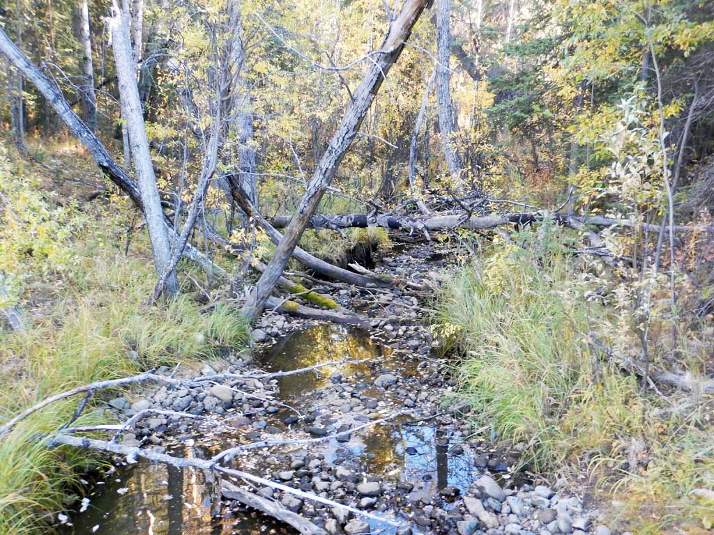
Stream Name: Troopers Creek
Elevation:
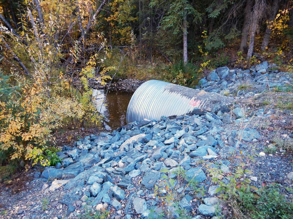
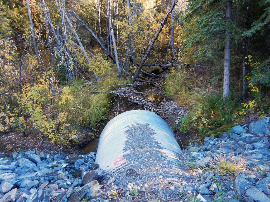
Site Comments: Site is downstream from site 20100571.
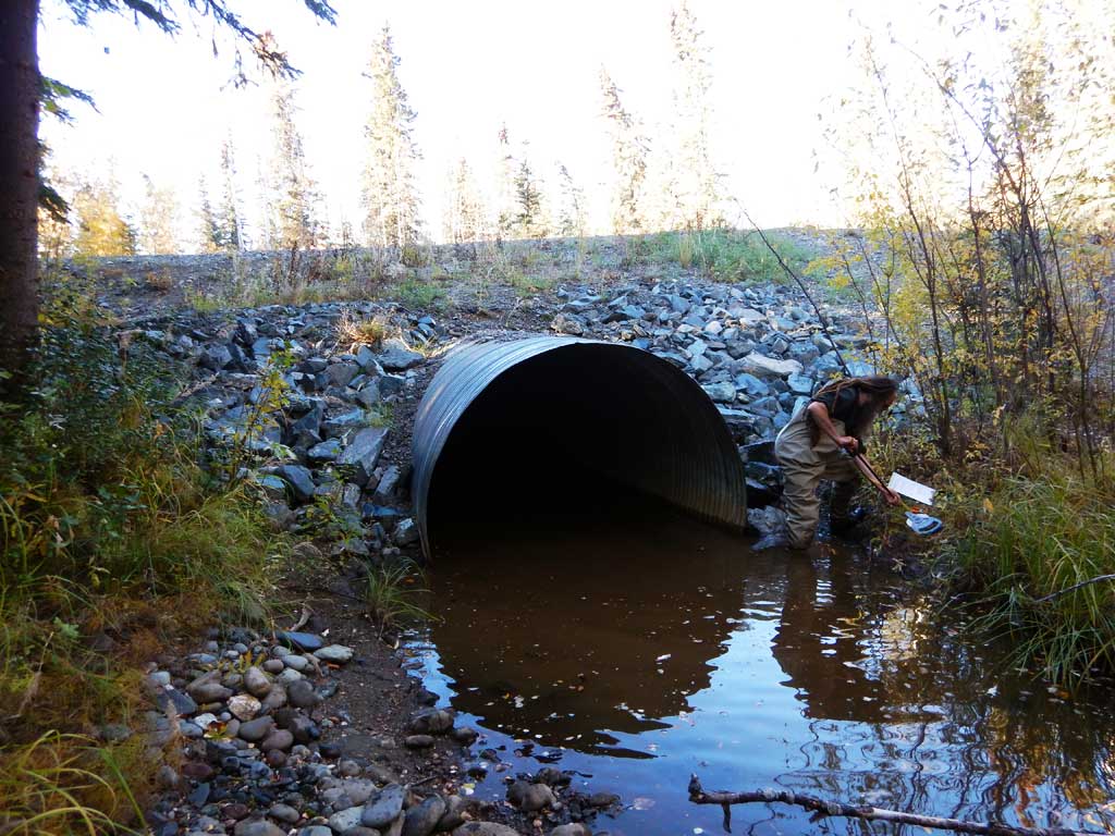
Survey CRWP17-GISp1
Observers: Kirsti Jurica, Hoots Witsoe
Overall Fish Passage Rating:
Tidal: No
Backwatered: No
Step Pools: No
Construction Year:
Site Observations:
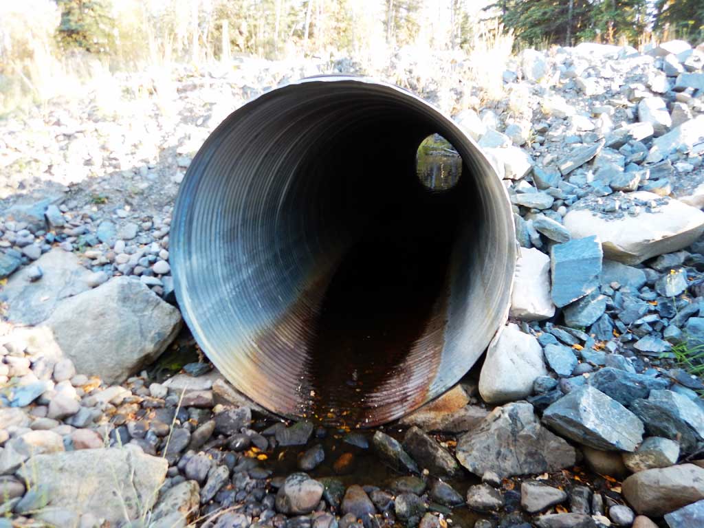
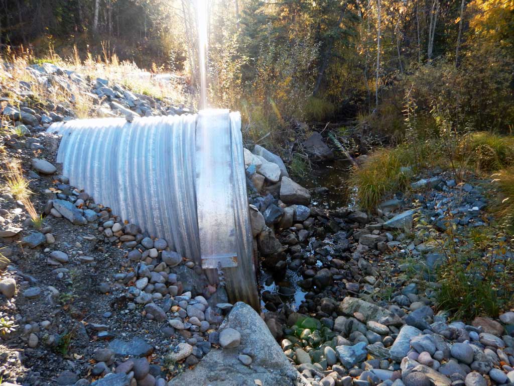
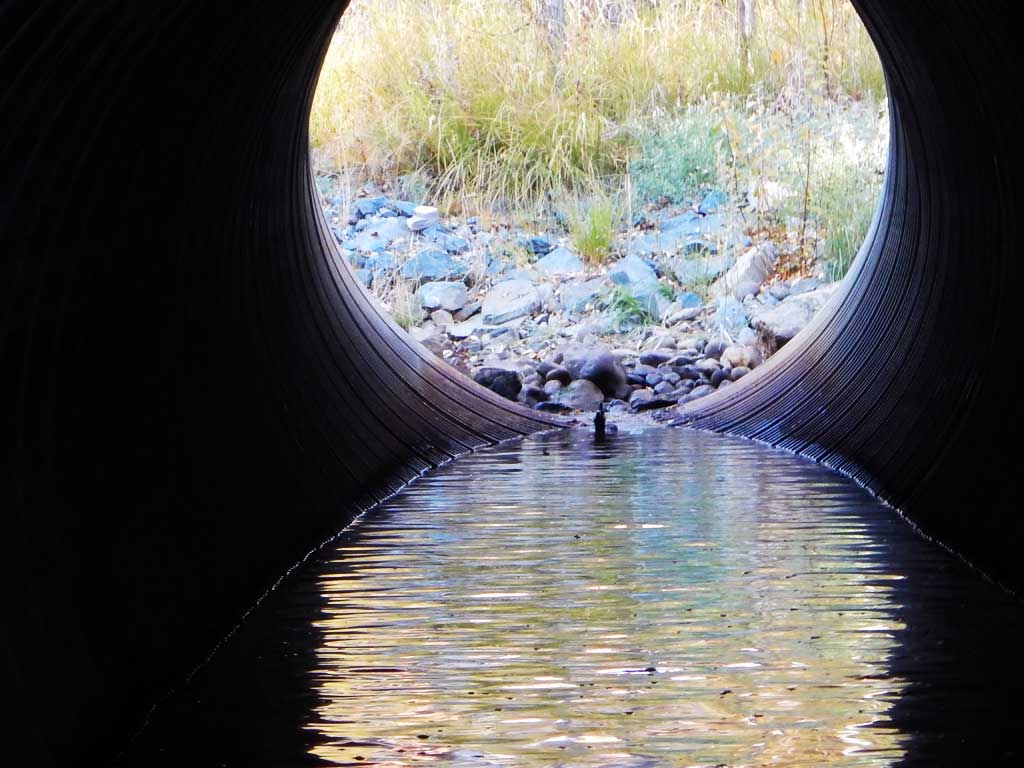
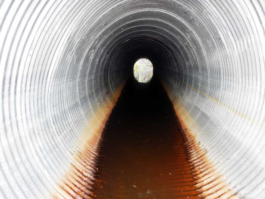
- Culvert gradient gray
- Culvert is poorly aligned
Comments: Culvert assessment performed and submitted by the Copper River Watershed Project. Longnose suckers and Arctic grayling caught in upstream and downstream traps.
Culvert Measurements
| ID: 1 | Structure Type: Circular pipe (Corrugated steel) | Fish Passage Rating: | |||||||||||||||||||||||||||||||||||||||||
|
|
|
|||||||||||||||||||||||||||||||||||||||||
Comments: Inlet scour and damage due to misalignment. Low water at inlet during low flows. |
|||||||||||||||||||||||||||||||||||||||||||
Culvert Observations:
|
|||||||||||||||||||||||||||||||||||||||||||
Stream Measurements
|
|
| Stream Width Type | Distance From Crossing (ft) |
Stream Width (ft) |
|---|---|---|
| Downstream ordinary high water | 5.90 | |
| Downstream ordinary high water | 9.10 | |
| Downstream ordinary high water | 6.90 |
Elevations
| Locator ID | Culvert Number |
River Distance (ft)1 |
Distance From Crossing (ft)2 |
Relative Elevation (ft) |
|---|---|---|---|---|
| Road Elev | 100.00 | |||
| D/S Grade Ctrl (Thalweg) | 0.00 | 86.80 | ||
| D/S Water Surface Elev | 0.00 | 87.06 | ||
| D/S Water Surface Elev | 51.00 | 89.00 | ||
| D/S Tailcrest or 1st Thalweg | 51.00 | 88.87 | ||
| Outlet Pool Water Elev | 54.00 | 89.00 | ||
| Max Pool Depth | 54.00 | 87.97 | ||
| Outlet Invert (on substrate) | 60.00 | 88.06 | ||
| D/S Water Surface Elev | 60.00 | 89.01 | ||
| Outlet Culvert Top | 60.00 | 95.93 | ||
| Inlet Culvert Top | 140.00 | 97.10 | ||
| Inlet Culvert Invert (on pipe) | 140.00 | 89.06 | ||
| U/S Water Surface Elev | 140.00 | 89.10 | ||
| U/S Grade Ctrl (Thalweg) | 154.00 | 89.35 | ||
| U/S Water Surface Elev | 154.00 | 89.61 | ||
| U/S Water Surface Elev | 191.00 | 89.97 | ||
| U/S Grade Ctrl (Thalweg) | 191.00 | 88.64 |
Notes:
- River distance is measured continuously throughout the survey reach along the thalweg of the stream.
- Measured from each end of the crossing along the thalweg of the stream.
Fish Sampling Efforts
No fish sampling occurred during this survey.
Fish Observations
No fish observations occurred during this survey.
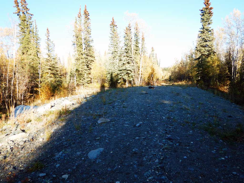
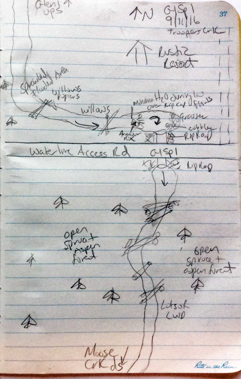
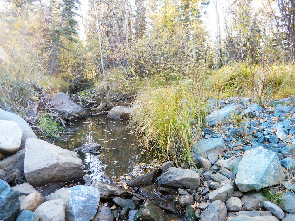
Photos
Questions or comments about this report can be directed to dfg.dsf.webmaster@alaska.gov