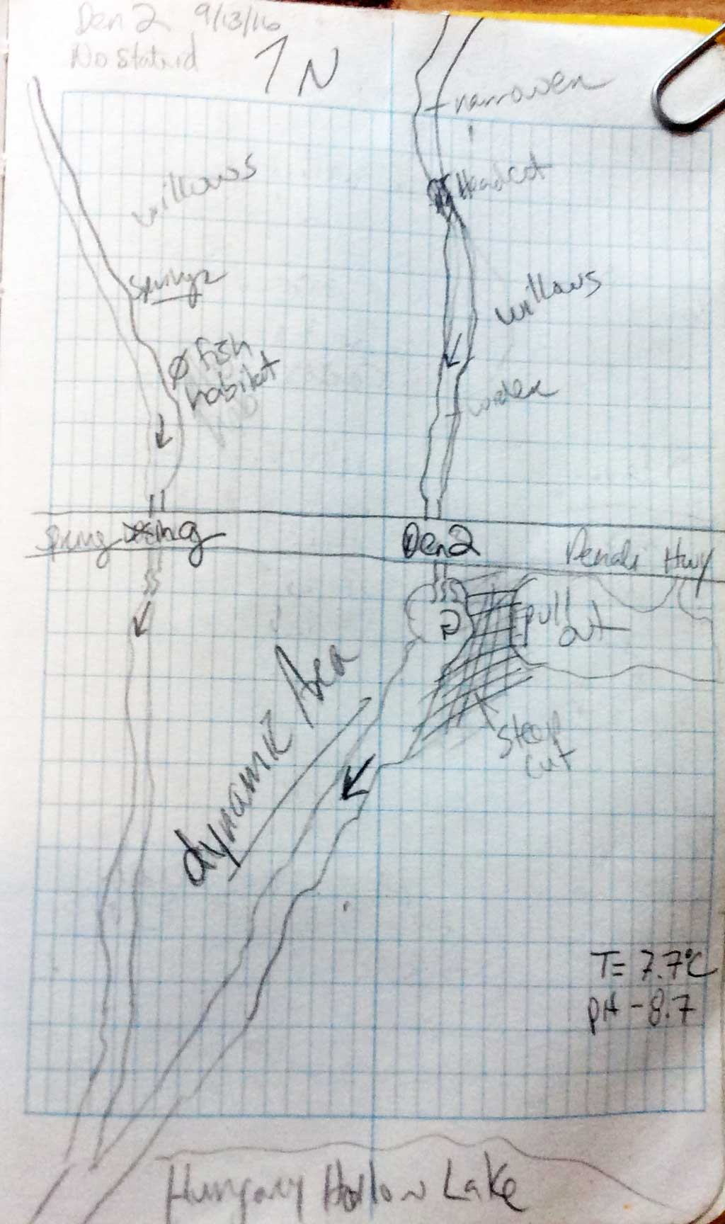
Fish Passage Site 20103758
Coordinates (dec. deg.): 63.07459°, -145.71022°
Legal Description: F021S011E19
Region: South Central
Road Name: Denali Highway
Datum: NAD83
Quad Name / ITM: Mt Hayes A-4
AWC Stream #:
Stream Name: Unnamed
Elevation:
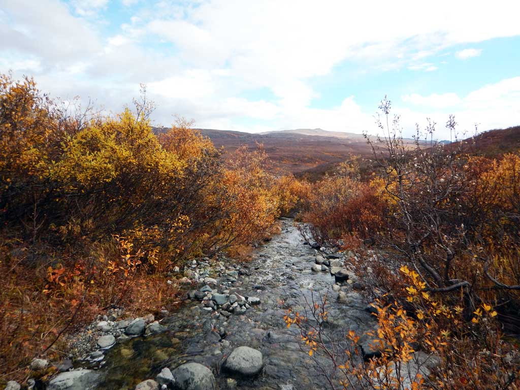
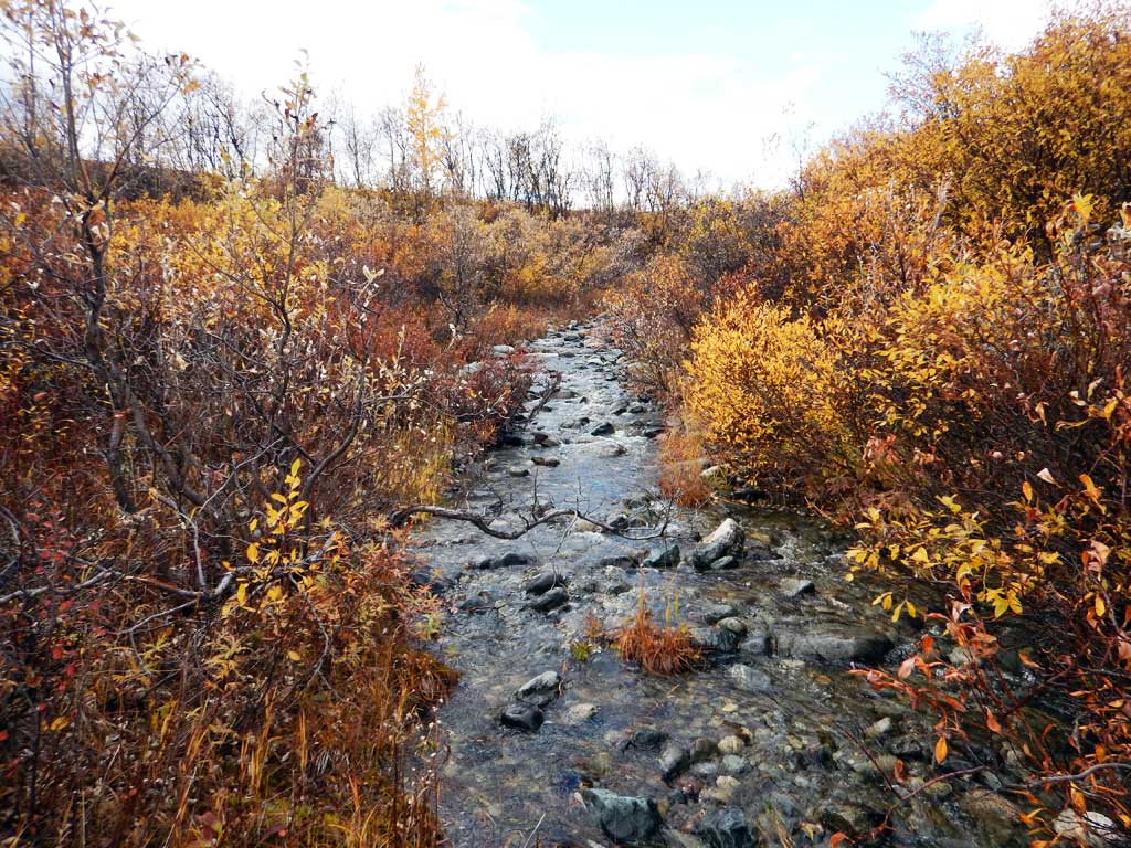
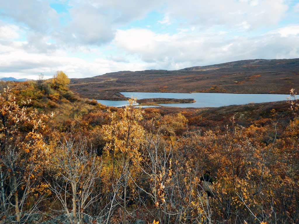
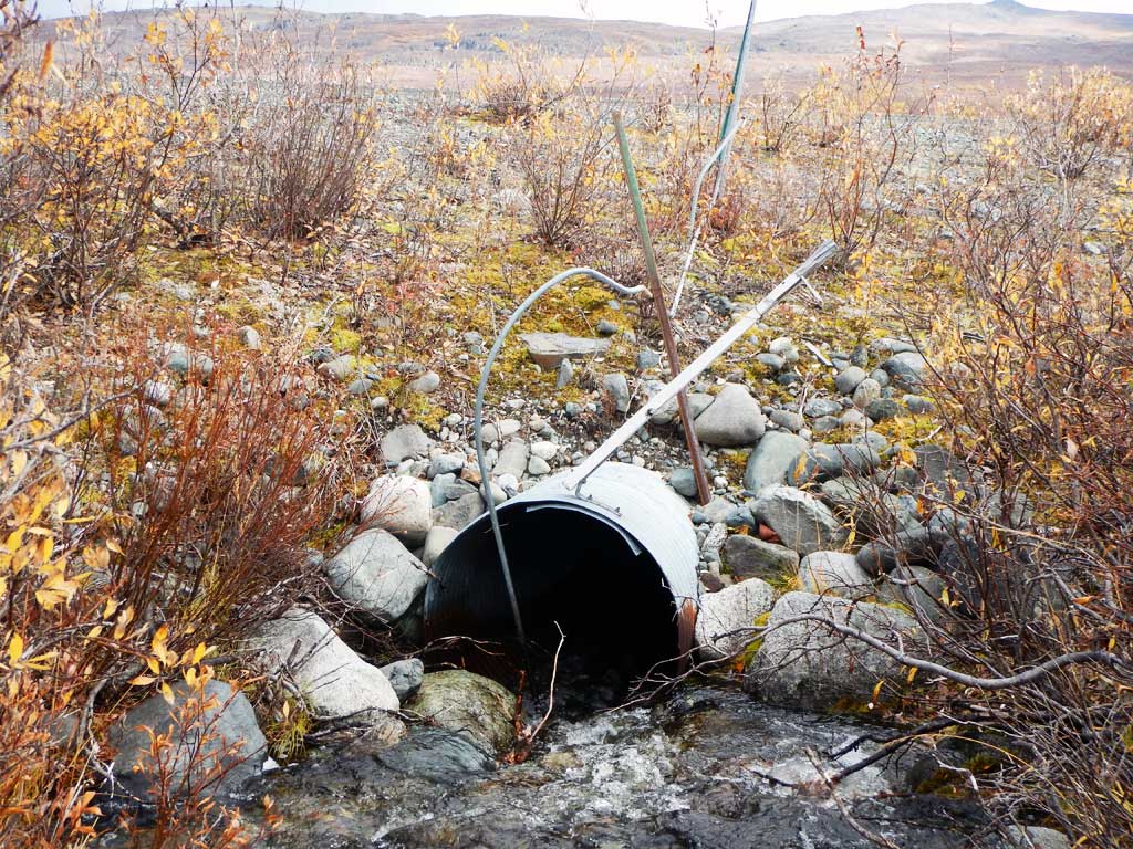
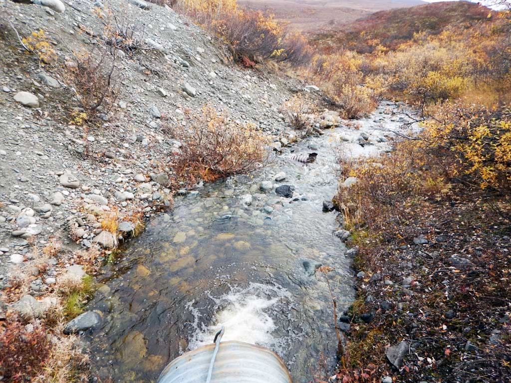
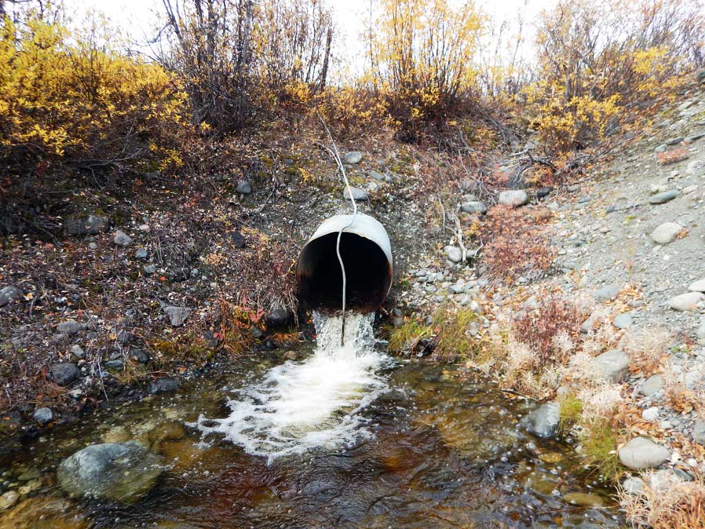
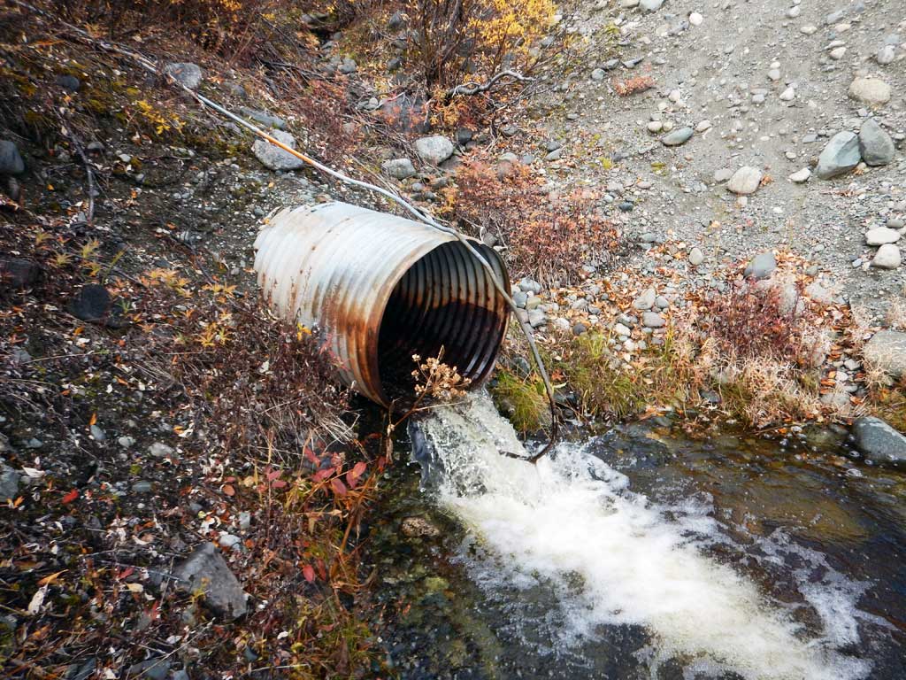
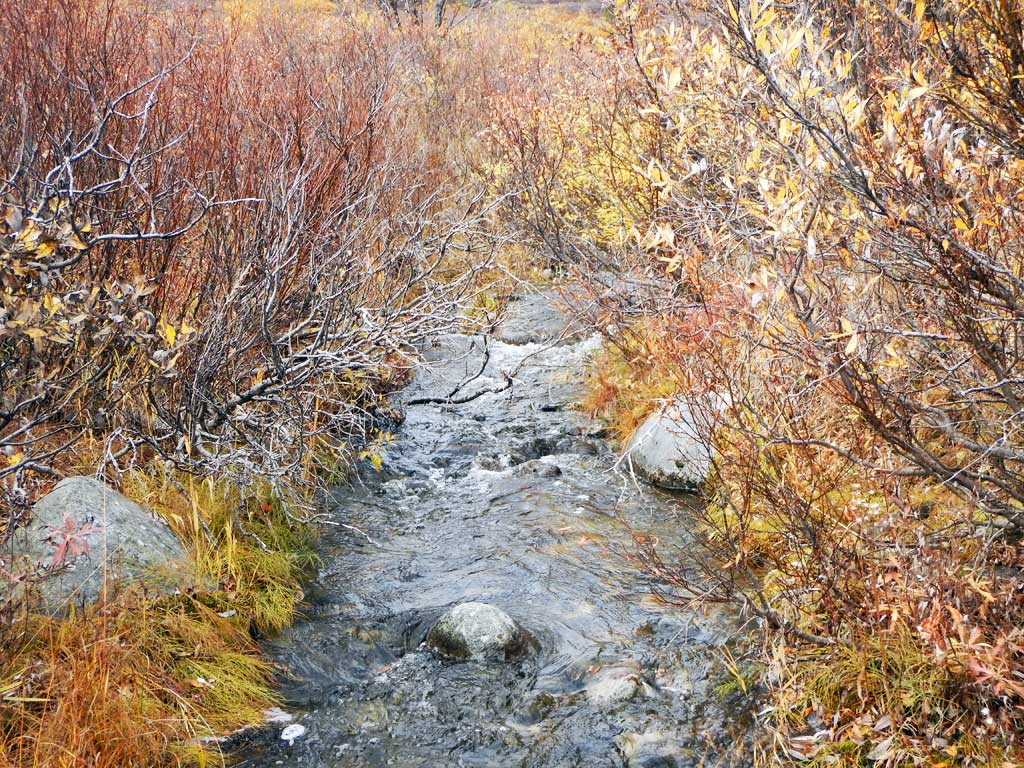
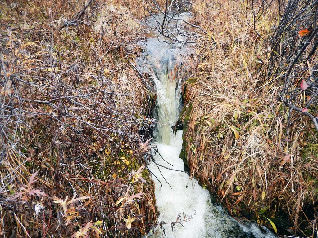
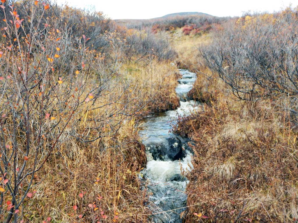
Site Comments: Tributary to Hundary Hollow
Survey CRWP17-Den2
Observers: Kirsti Jurica, Hoots Witsoe
Overall Fish Passage Rating:
Tidal: No
Backwatered: No
Step Pools: No
Construction Year:
Site Observations:
- Culvert gradient red
- Outfall height red
- Constriction ratio gray
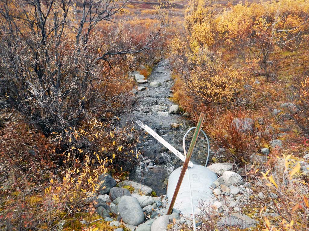
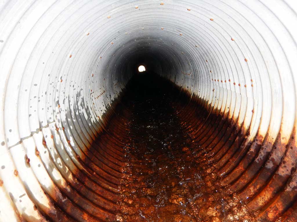
Comments: Culvert assessment performed and submitted by the Copper River Watershed Project. Small incised muskeg channel upstream. No fish caught.
Culvert Measurements
| ID: 1 | Structure Type: Circular pipe (Corrugated steel) | Fish Passage Rating: | |||||||||||||||||||||||||||||||||||||||||
|
|
|
|||||||||||||||||||||||||||||||||||||||||
Culvert Observations:
|
|||||||||||||||||||||||||||||||||||||||||||
Stream Measurements
|
|
| Stream Width Type | Distance From Crossing (ft) |
Stream Width (ft) |
|---|---|---|
| Downstream ordinary high water | 9.00 | |
| Downstream ordinary high water | 9.80 | |
| Downstream ordinary high water | 7.60 | |
| Upstream ordinary high water | 6.90 | |
| Upstream ordinary high water | 7.10 | |
| Upstream ordinary high water | 3.20 | |
| Upstream ordinary high water | 2.50 |
Elevations
| Locator ID | Culvert Number |
River Distance (ft)1 |
Distance From Crossing (ft)2 |
Relative Elevation (ft) |
|---|---|---|---|---|
| Road Elev | 100.00 | |||
| D/S Grade Ctrl (Thalweg) | 0.00 | 75.56 | ||
| D/S Water Surface Elev | 0.00 | 75.90 | ||
| D/S Tailcrest or 1st Thalweg | 23.00 | 82.56 | ||
| D/S Water Surface Elev | 23.00 | 83.05 | ||
| Outlet Pool Water Elev | 28.00 | 83.05 | ||
| Max Pool Depth | 28.00 | 80.77 | ||
| Outlet Invert (on pipe) | 35.00 | 83.82 | ||
| D/S Water Surface Elev | 35.00 | 84.13 | ||
| Outlet Culvert Top | 35.00 | 86.82 | ||
| Inlet Culvert Invert (on pipe) | 142.00 | 92.79 | ||
| U/S Water Surface Elev | 142.00 | 93.30 | ||
| Inlet Culvert Top | 142.00 | 95.78 | ||
| U/S Grade Ctrl (Thalweg) | 152.00 | 93.97 | ||
| U/S Water Surface Elev | 152.00 | 94.38 | ||
| U/S Grade Ctrl (Thalweg) | 264.00 | 97.56 | ||
| U/S Water Surface Elev | 264.00 | 99.06 | ||
| U/S Water Surface Elev | 273.00 | 99.31 | ||
| U/S Grade Ctrl (Thalweg) | 273.00 | 97.86 | ||
| U/S Grade Ctrl (Thalweg) | 278.00 | 100.47 | ||
| U/S Water Surface Elev | 278.00 | 101.47 |
Notes:
- River distance is measured continuously throughout the survey reach along the thalweg of the stream.
- Measured from each end of the crossing along the thalweg of the stream.
Fish Sampling Efforts
| Gear Type: Minnow Trap (A) | Trap Duration(h): 18.0 | |
| Comments: 3 traps set, no fish caught | ||
Fish Observations
No fish observations occurred during this survey.
Photos
Questions or comments about this report can be directed to dfg.dsf.webmaster@alaska.gov