Fish Passage Site 20103491
Coordinates (dec. deg.): 62.71182°, -144.32748°
Legal Description: C011N006E29
Region: South Central
Road Name: Tok Cut-off
Datum: NAD83
Quad Name / ITM: Gulkana C-1
AWC Stream #:
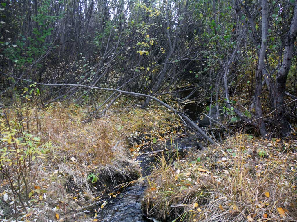
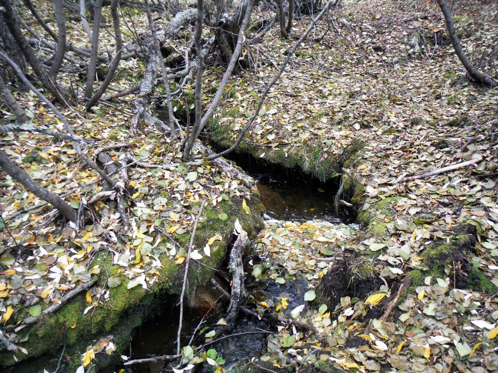
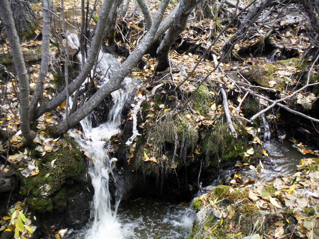
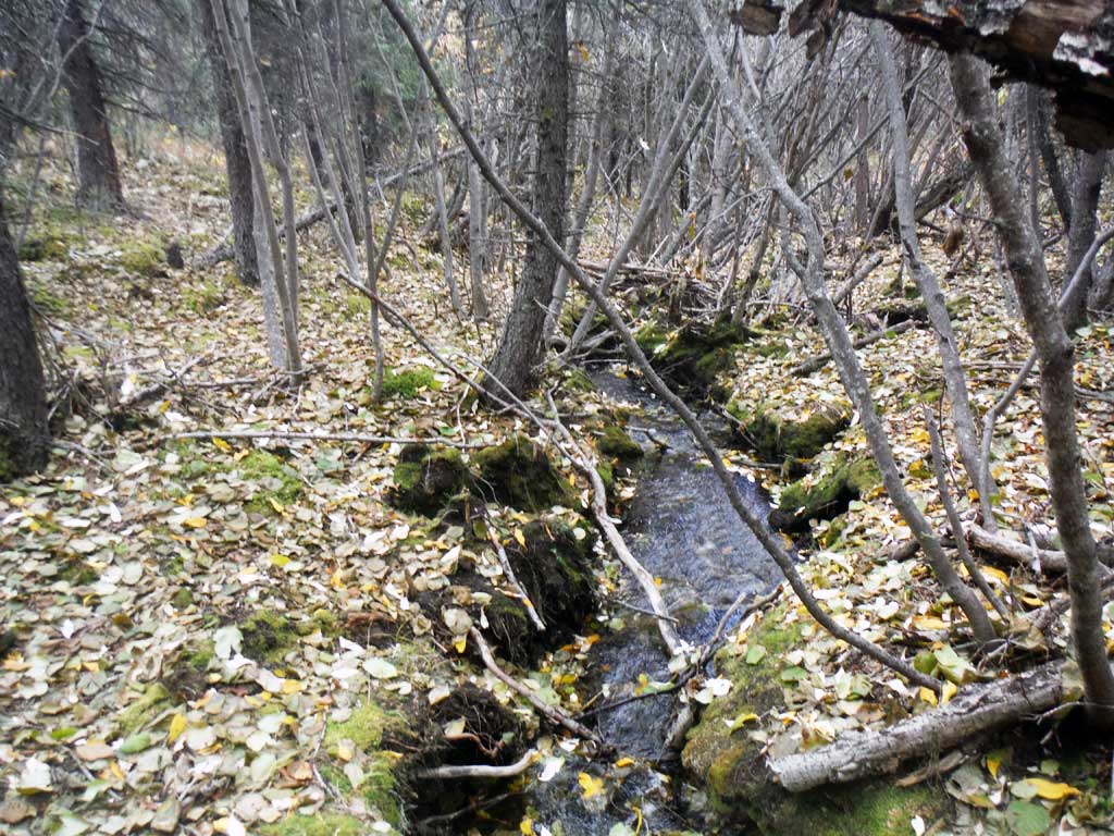
Stream Name: Copper River Tributary, Unnamed
Elevation:
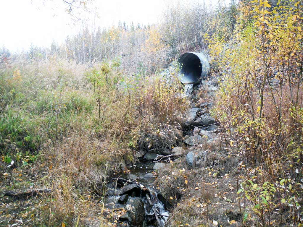
Site Comments: MP 48.5
Survey UPDATE-TOK2
Project Supervisor: Gillian O'Doherty, ADFG
Observers: Andrew Kastning
Overall Fish Passage Rating:
Tidal: No
Backwatered: No
Step Pools: No
Construction Year:
Site Observations:
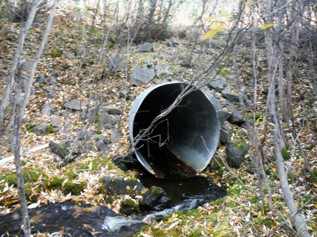
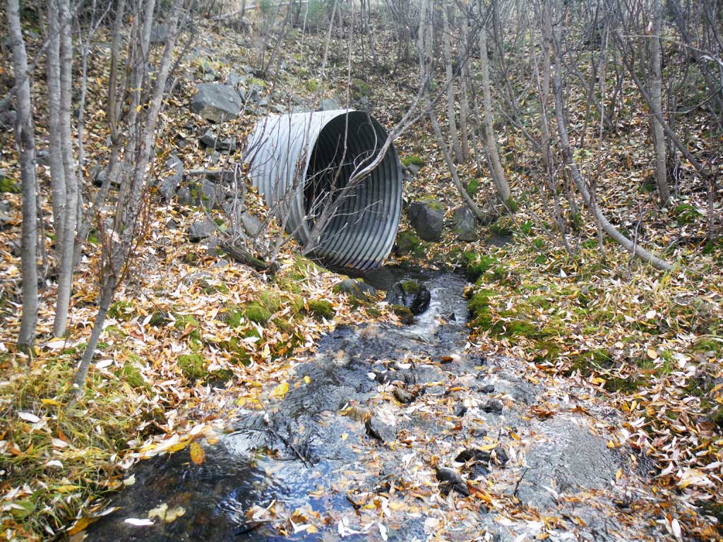
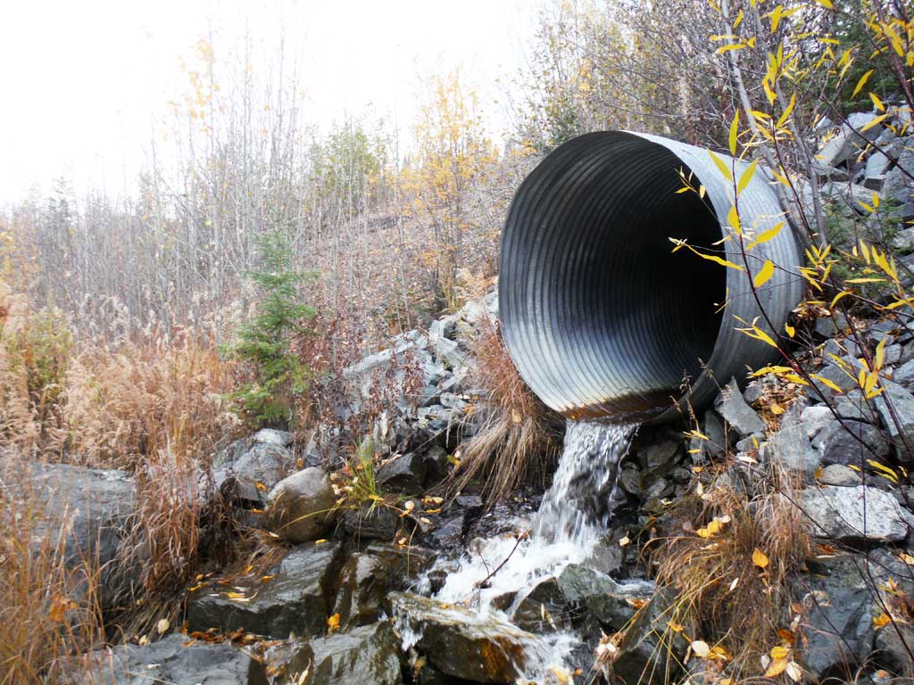
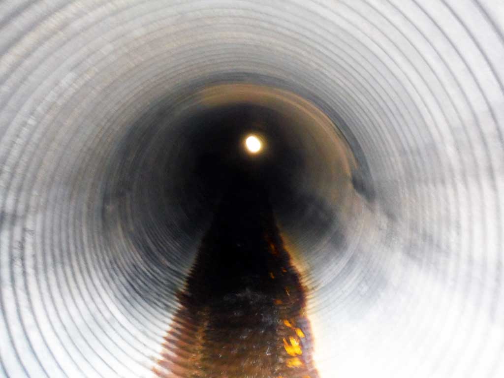
- Culvert gradient red
- Outfall height red
- Inlet perch
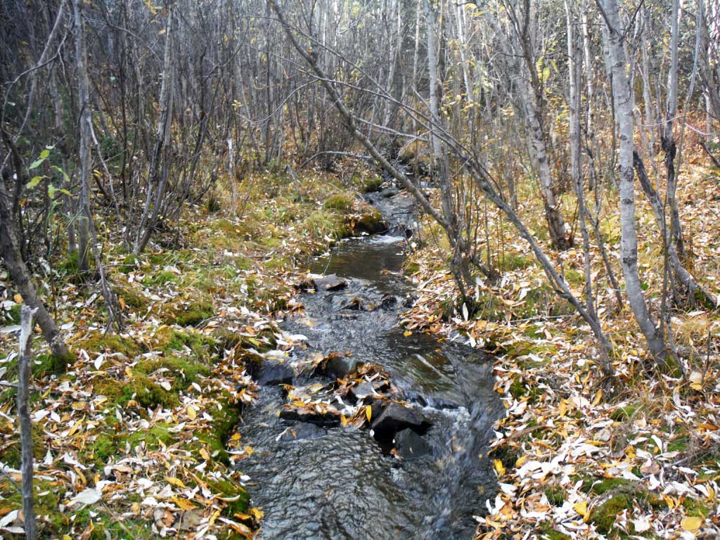
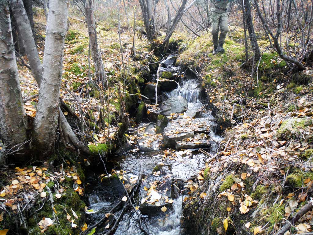
Comments: Assessment conducted and submitted by the Copper River Watershed Project. Stream becomes very narrow with many hydraulic jumps about 250 feet upstream.
Culvert Measurements
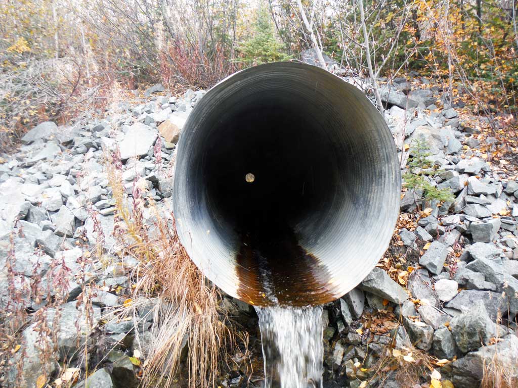
| ID: 1 | Structure Type: Circular pipe (Corrugated steel) | Fish Passage Rating: | |||||||||||||||||||||||||||||||||||||||||
|
|
|
|||||||||||||||||||||||||||||||||||||||||
Culvert Observations:
|
|||||||||||||||||||||||||||||||||||||||||||
Stream Measurements
|
|
| Stream Width Type | Distance From Crossing (ft) |
Stream Width (ft) |
|---|---|---|
| Downstream ordinary high water | 3.30 | |
| Downstream ordinary high water | 3.50 | |
| Downstream ordinary high water | 3.10 | |
| Upstream ordinary high water | 3.10 | |
| Upstream ordinary high water | 3.30 | |
| Upstream ordinary high water | 1.20 |
Elevations
| Locator ID | Culvert Number |
River Distance (ft)1 |
Distance From Crossing (ft)2 |
Relative Elevation (ft) |
|---|---|---|---|---|
| Road Elev | 131.97 | |||
| D/S Thalweg (bottom of head cut) | 0.00 | 63.07 | ||
| D/S Water Surface Elev | 0.00 | 65.07 | ||
| D/S Thalweg (top of head cut) | 2.00 | 66.42 | ||
| D/S Water Surface Elev | 2.00 | 66.85 | ||
| D/S Water Surface Elev | 31.00 | 66.92 | ||
| D/S Grade Ctrl (Thalweg) | 31.00 | 66.12 | ||
| Max Pool Depth | 45.00 | 67.23 | ||
| D/S Water Surface Elev | 45.00 | 67.94 | ||
| D/S Thalweg (rip rap pool) | 68.00 | 71.43 | ||
| D/S Water Surface Elev | 68.00 | 72.30 | ||
| Max Pool Depth | 77.00 | 74.33 | ||
| Outlet Pool Water Elev | 77.00 | 75.03 | ||
| Outlet Invert | 81.00 | 77.71 | ||
| D/S Water Surface Elev | 81.00 | 77.91 | ||
| Outlet Culvert Top | 81.00 | 83.06 | ||
| Inlet Culvert Invert | 305.50 | 94.76 | ||
| U/S Water Surface Elev | 305.50 | 95.01 | ||
| Inlet Culvert Top | 305.50 | 100.00 | ||
| U/S Water Surface Elev | 308.80 | 95.84 | ||
| U/S Thalweg (pool) | 308.80 | 93.94 | ||
| U/S Grade Ctrl (Thalweg) | 317.50 | 95.88 | ||
| U/S Water Surface Elev | 317.50 | 96.13 | ||
| U/S Grade Ctrl (Thalweg) | 335.50 | 96.32 | ||
| U/S Water Surface Elev | 335.50 | 96.70 | ||
| U/S Grade Ctrl (Thalweg) | 379.50 | 99.68 | ||
| U/S Water Surface Elev | 379.50 | 100.19 |
Notes:
- River distance is measured continuously throughout the survey reach along the thalweg of the stream.
- Measured from each end of the crossing along the thalweg of the stream.
Fish Sampling Efforts
| Gear Type: Minnow Trap (A) | Trap Duration(h): 18.0 | |
| Comments: 2 traps set upstrea. No fish caught or observed | ||
| Gear Type: Minnow Trap (B) | Trap Duration(h): 18.0 | |
| Comments: 2 traps set downstream, no fish caught or observed. | ||
Fish Observations
No fish observations occurred during this survey.
Photos


Questions or comments about this report can be directed to dfg.dsf.webmaster@alaska.gov