Fish Passage Site 20103476
Coordinates (dec. deg.): 61.59437°, -145.22308°
Legal Description: C003S001E21
Region: South Central
Road Name: 14 APL 4
Datum: NAD83
Quad Name / ITM: Valdez C-4
AWC Stream #: 212-20-10080-2331-3081
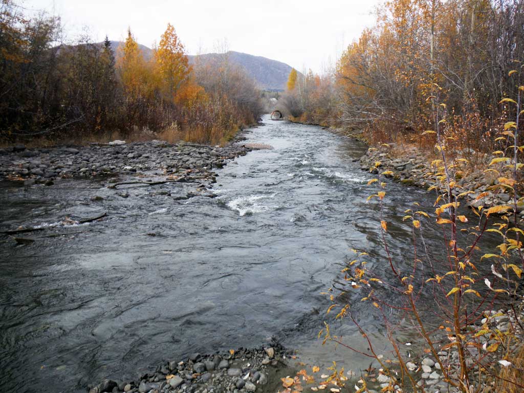
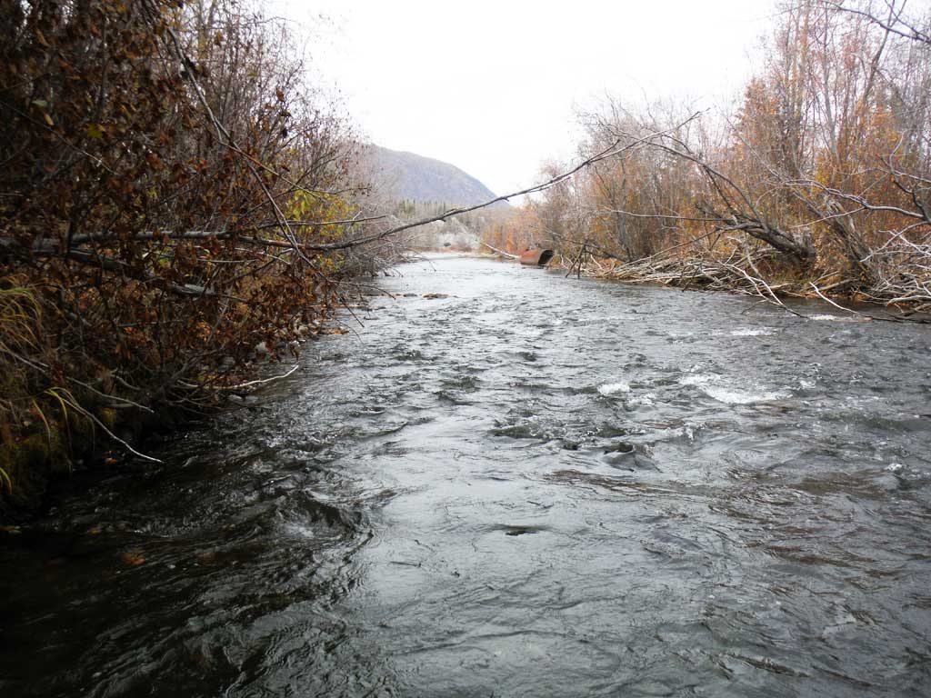
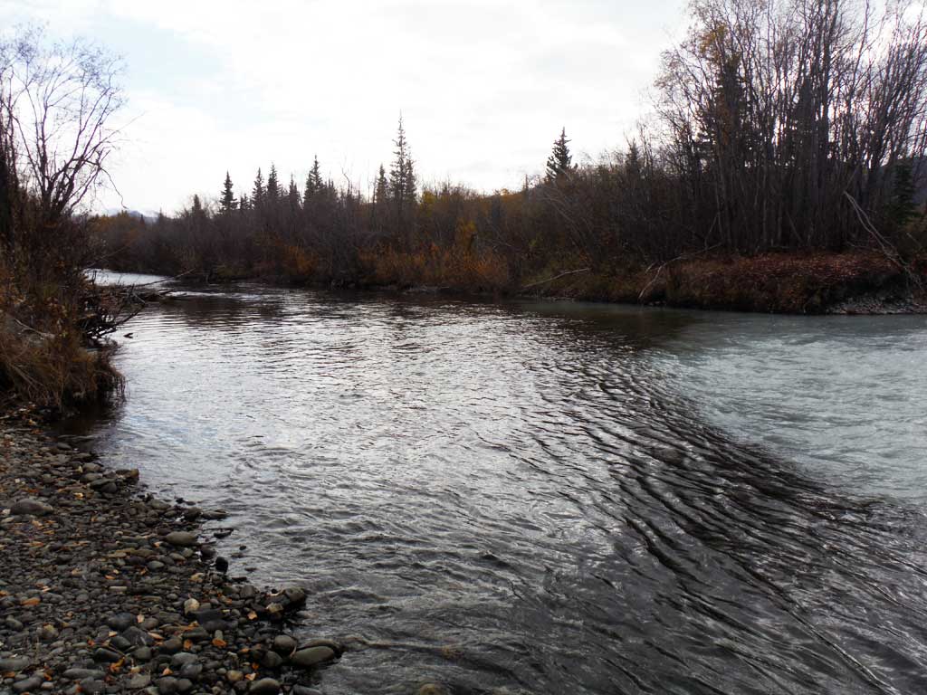
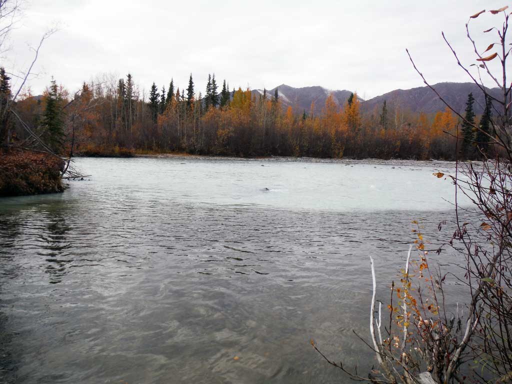
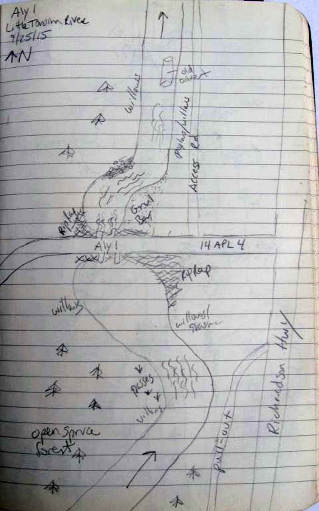
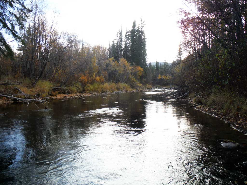
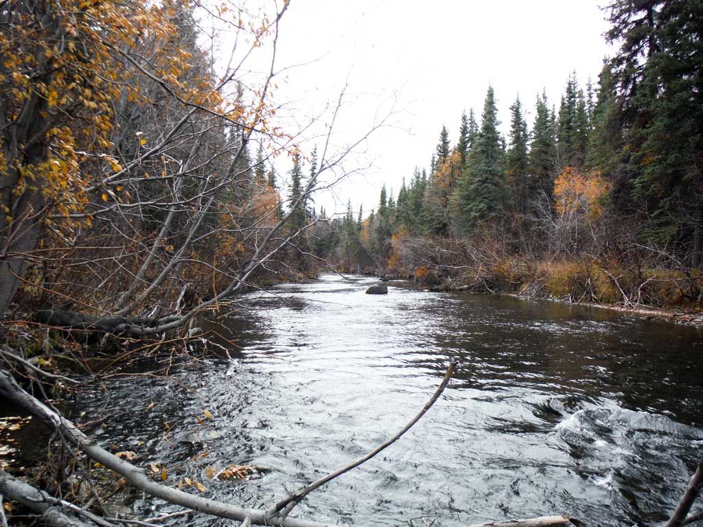
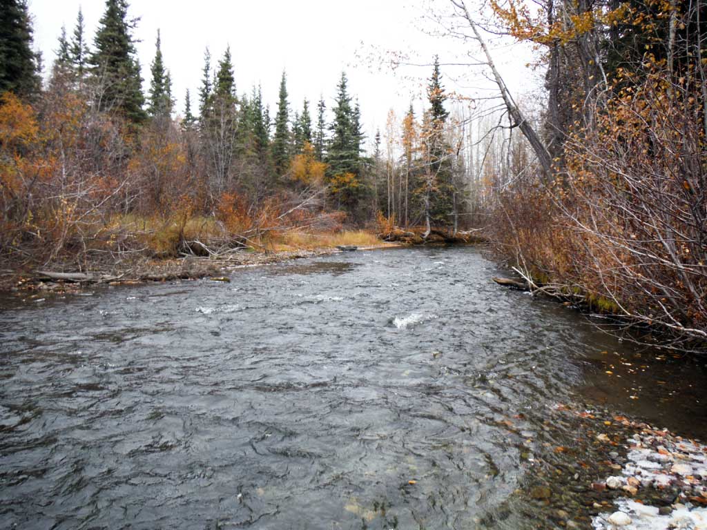
Stream Name: Little Tonsina River
Elevation:
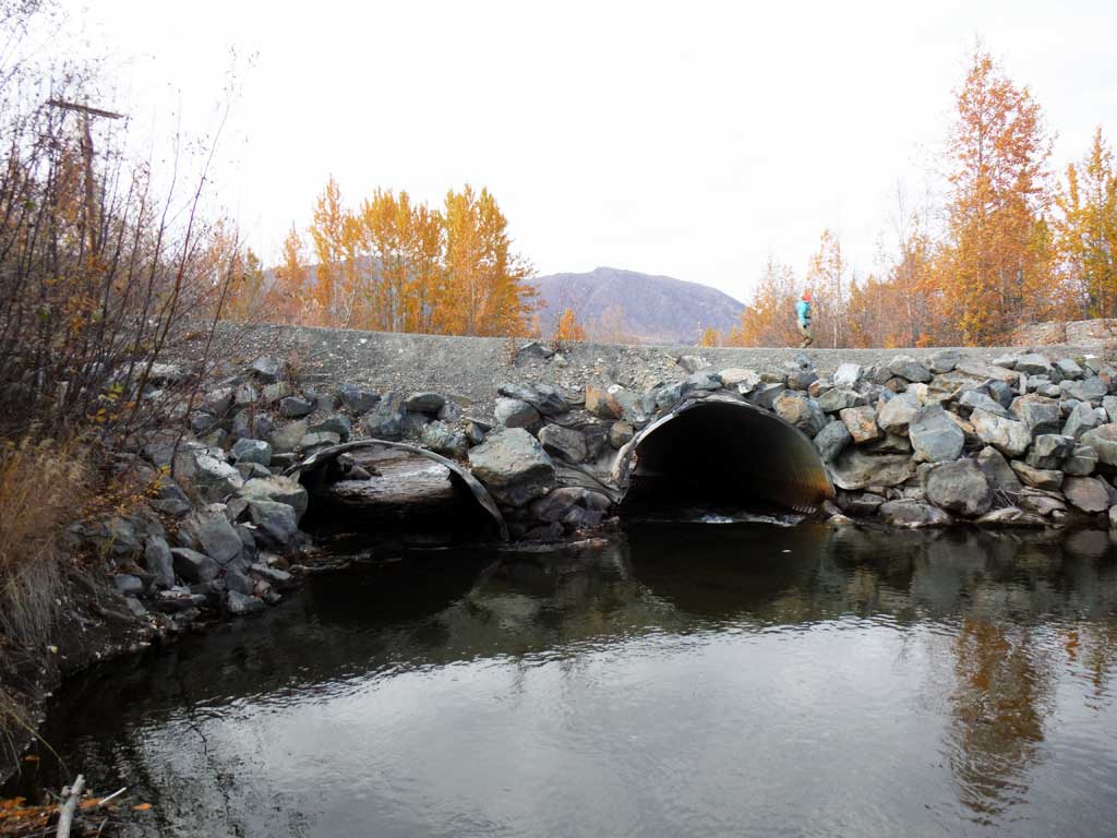
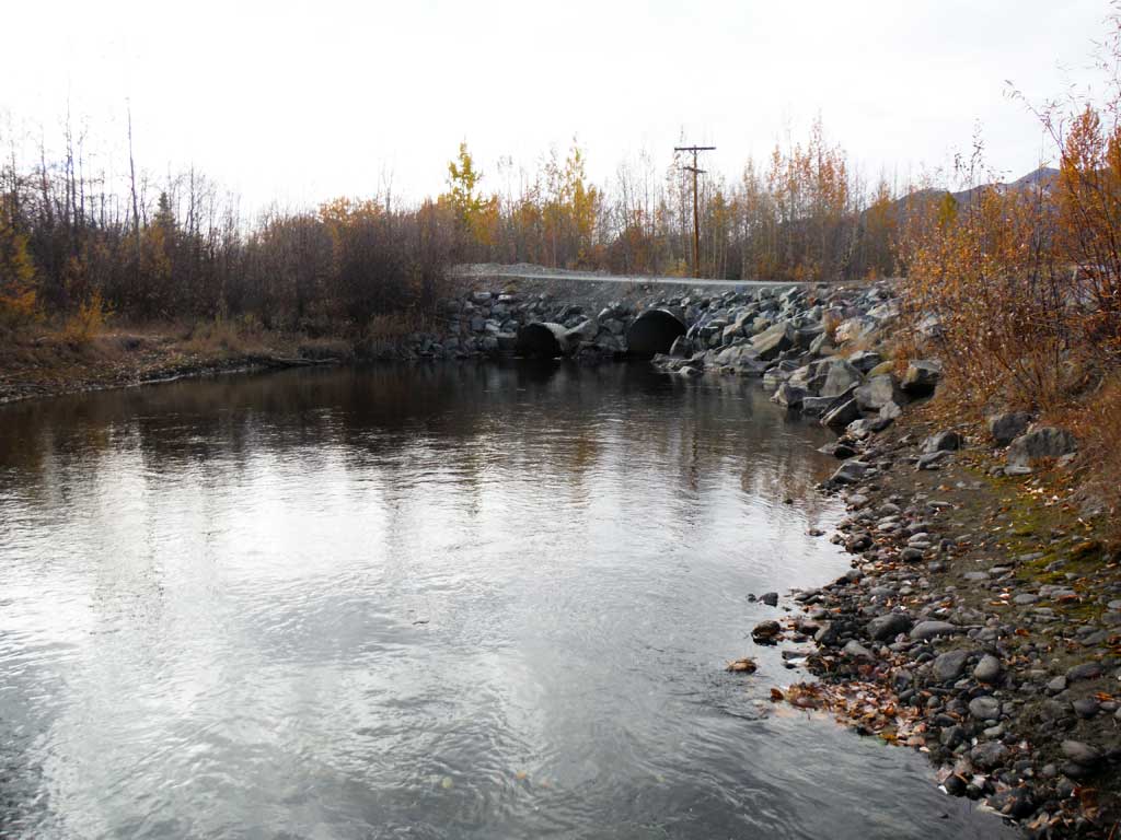
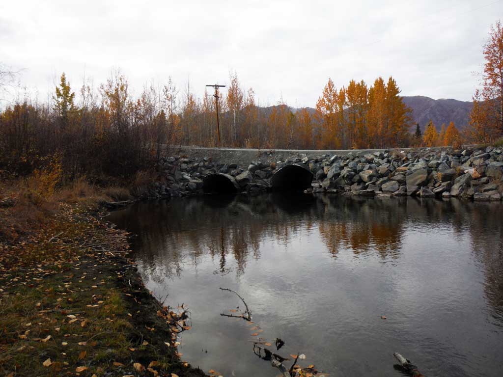
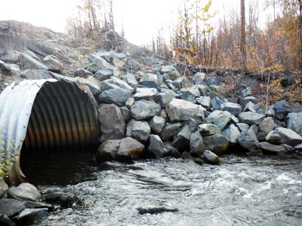
Site Comments: Road at MP 74.2 on the Richardson Highway, Pipeline access road.
arrow to the right of the survey date below to choose a different report for this site.
Survey UPDATE-ALY1
Project Supervisor: Gillian O'Doherty, ADFG
Observers: Andrew Kastning
Overall Fish Passage Rating:
Tidal: No
Backwatered: No
Step Pools: No
Construction Year:
Site Observations:
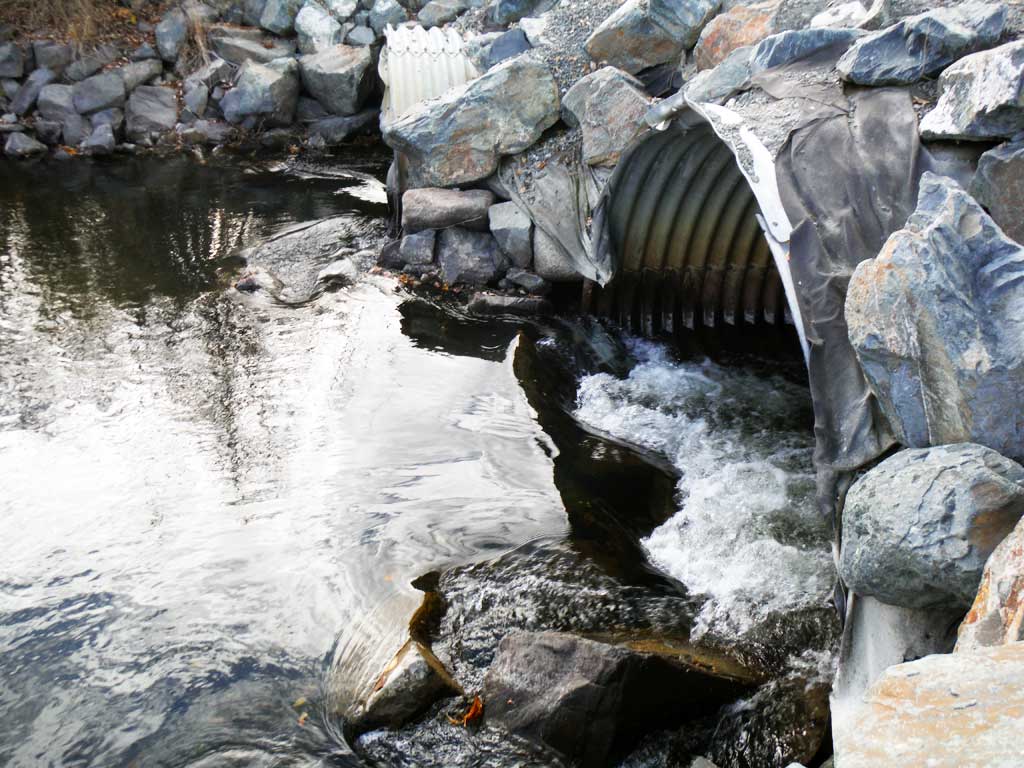
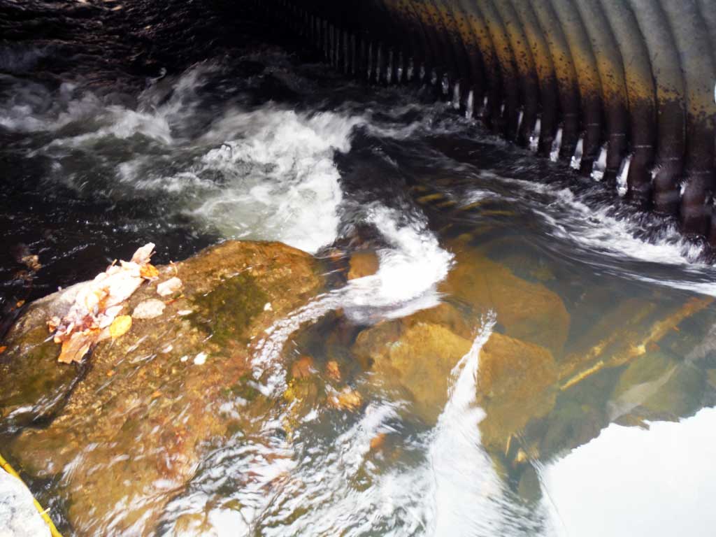
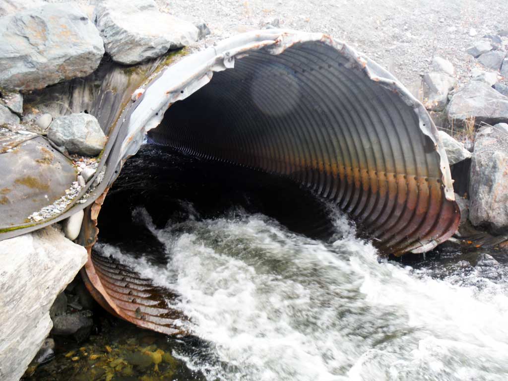
- Constriction ratio red
- Culvert gradient red
- Outfall height red
- Inlet perch
- Culvert is too short
- Road Fill (pushed off road by grader)
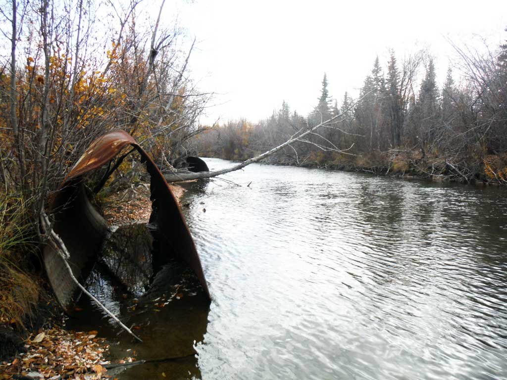
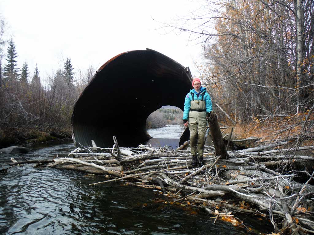
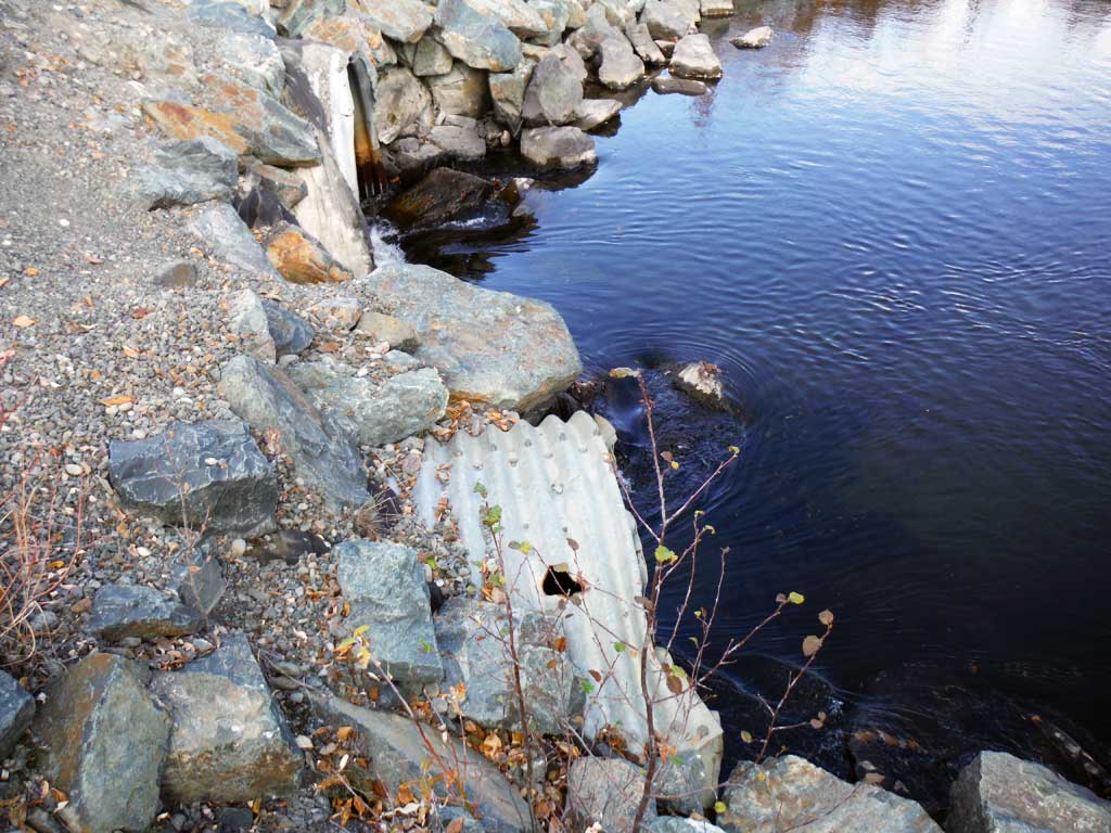
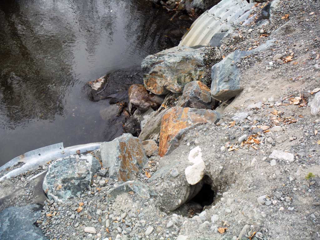
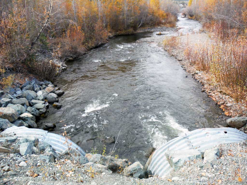
Comments: Old blown out culverts downstream. Very productive Chinook and Coho salmon stream.
Culvert Measurements
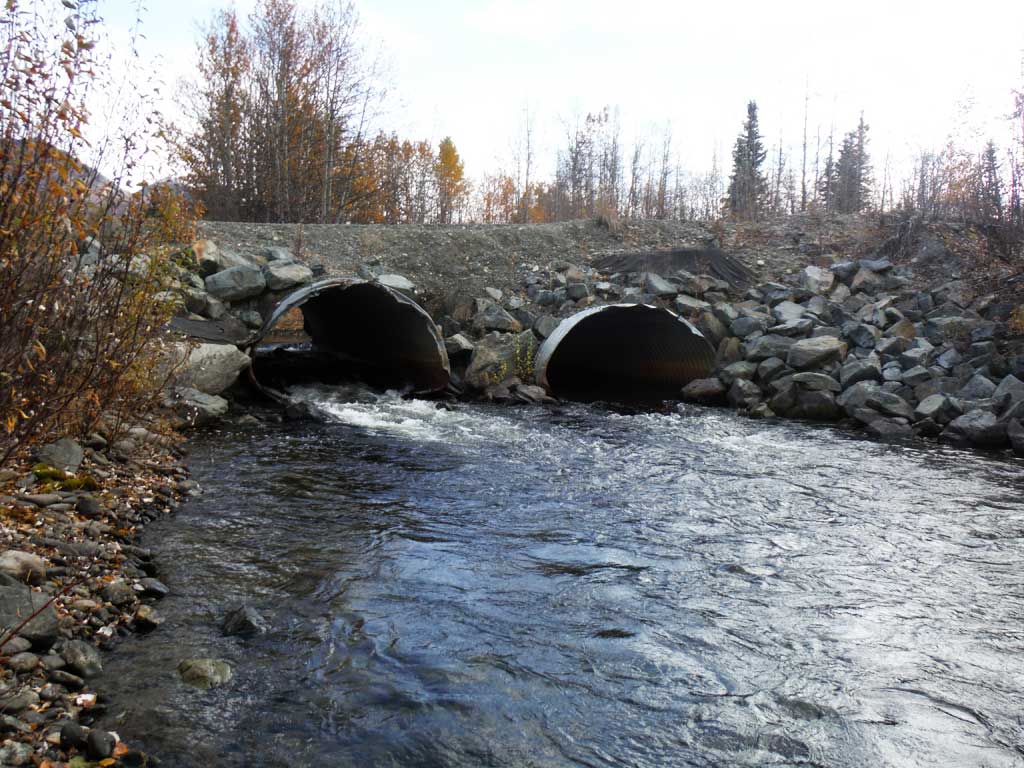
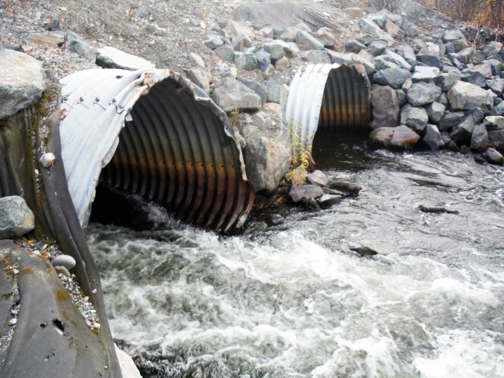
| ID: 1 | Structure Type: Pipe-arch (Structural steel plate) | Fish Passage Rating: | |||||||||||||||||||||||||||||||||||||||||
|
|
|
|||||||||||||||||||||||||||||||||||||||||
Culvert Observations:
|
|||||||||||||||||||||||||||||||||||||||||||
| ID: 2 | Structure Type: Pipe-arch (Structural steel plate) | Fish Passage Rating: | |||||||||||||||||||||||||||||||||||||||||
|
|
|
|||||||||||||||||||||||||||||||||||||||||
Comments: Outlet damage. |
|||||||||||||||||||||||||||||||||||||||||||
Culvert Observations:
|
|||||||||||||||||||||||||||||||||||||||||||
Stream Measurements
|
|
| Stream Width Type | Distance From Crossing (ft) |
Stream Width (ft) |
|---|---|---|
| Downstream ordinary high water | 47.60 | |
| Downstream ordinary high water | 35.80 | |
| Downstream ordinary high water | 47.50 | |
| Upstream ordinary high water | 47.50 | |
| Upstream ordinary high water | 34.00 | |
| Upstream ordinary high water | 42.50 | |
| Upstream ordinary high water | 45.60 |
Elevations
| Locator ID | Culvert Number |
River Distance (ft)1 |
Distance From Crossing (ft)2 |
Relative Elevation (ft) |
|---|---|---|---|---|
| Road Elev (Lower road point) | 104.62 | |||
| Road Elev (Road is at a slant, upper point) | 105.50 | |||
| D/S Grade Ctrl (Thalweg) | 0.00 | 90.49 | ||
| D/S Water Surface Elev | 0.00 | 92.13 | ||
| D/S Water Surface Elev | 100.00 | 92.71 | ||
| D/S Grade Ctrl (Thalweg) | 100.00 | 91.70 | ||
| D/S Thalweg | 147.00 | 91.14 | ||
| D/S Water Surface Elev | 147.00 | 93.44 | ||
| D/S Thalweg (Riffle) | 2 | 172.00 | 91.29 | |
| D/S Water Surface Elev | 2 | 172.00 | 93.44 | |
| Outlet Culvert Top | 1 | 180.00 | 99.52 | |
| Outlet Invert | 1 | 180.00 | 92.40 | |
| D/S Water Surface Elev | 1 | 180.00 | 93.80 | |
| D/S Water Surface Elev | 2 | 187.00 | 93.67 | |
| Outlet Invert | 2 | 187.00 | 92.90 | |
| Outlet Culvert Top | 2 | 187.00 | 100.48 | |
| Inlet Culvert Top | 2 | 227.00 | 101.38 | |
| Inlet Culvert Top | 1 | 227.00 | 100.00 | |
| U/S Water Surface Elev | 2 | 227.00 | 94.85 | |
| Inlet Culvert Invert | 1 | 227.00 | 92.74 | |
| Inlet Culvert Invert | 2 | 227.00 | 93.98 | |
| U/S Water Surface Elev | 1 | 227.00 | 95.58 | |
| U/S Water Surface Elev | 239.00 | 95.83 | ||
| U/S Grade Ctrl (Thalweg) | 239.00 | 92.59 | ||
| U/S Water Surface Elev | 377.00 | 95.86 | ||
| U/S Grade Ctrl (Thalweg) | 377.00 | 94.01 | ||
| U/S Water Surface Elev | 547.00 | 96.00 | ||
| U/S Grade Ctrl (Thalweg) | 547.00 | 95.35 |
Notes:
- River distance is measured continuously throughout the survey reach along the thalweg of the stream.
- Measured from each end of the crossing along the thalweg of the stream.
Fish Sampling Efforts
No fish sampling occurred during this survey.
Fish Observations
No fish observations occurred during this survey.
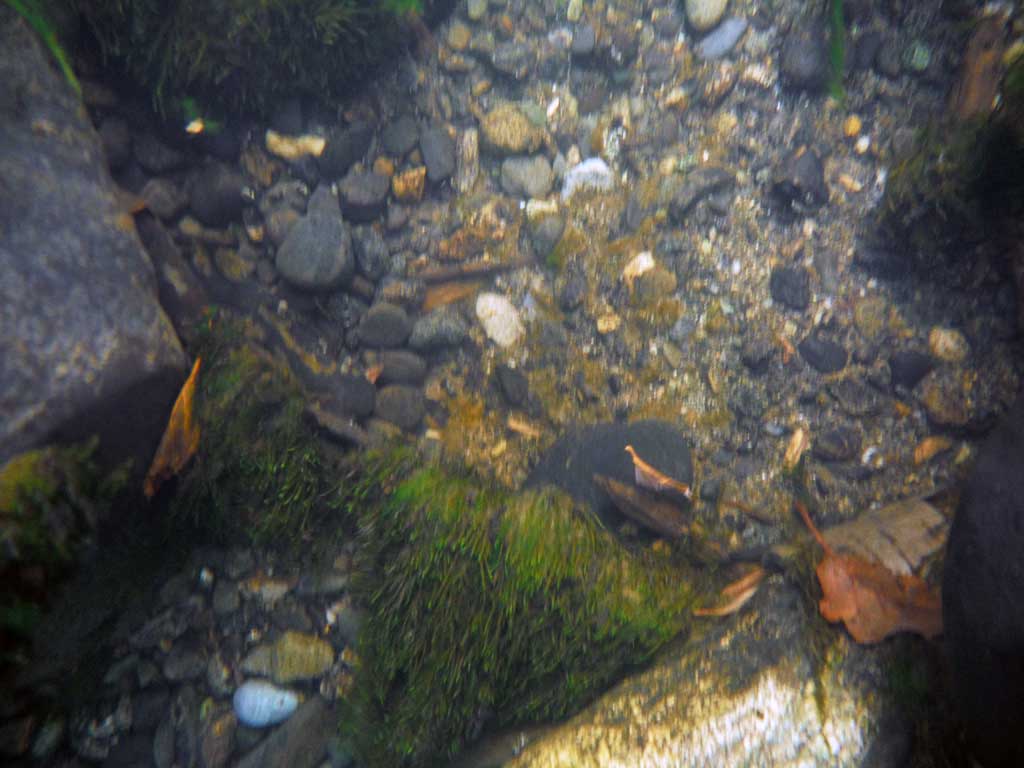
Photos


Questions or comments about this report can be directed to dfg.dsf.webmaster@alaska.gov