Fish Passage Site 20101840
Coordinates (dec. deg.): 61.51046°, -144.06837°
Legal Description: C004S007E24
Region: South Central
Road Name: McCarthy Road
Datum: NAD83
Quad Name / ITM: Valdez C-1
AWC Stream #:
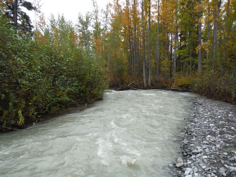
Stream Name: Strelna Creek
Elevation:
Site Comments: Mile 14.8 McCarthy Rd;
arrow to the right of the survey date below to choose a different report for this site.
Survey UPDATE-MAC17
Project Supervisor: Gillian O'Doherty, ADFG
Observers:
Overall Fish Passage Rating:
Tidal: No
Backwatered: No
Step Pools: No
Construction Year: 2012
Site Observations:
- Culvert gradient gray
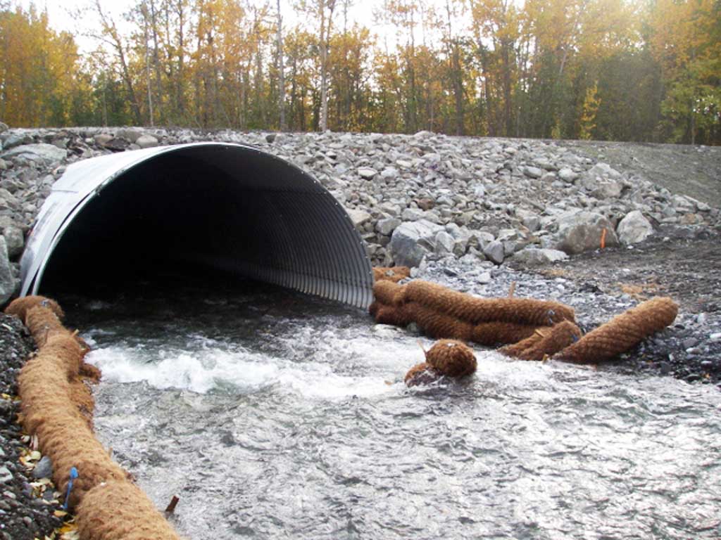
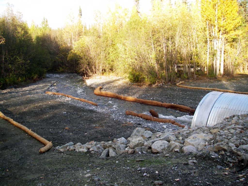
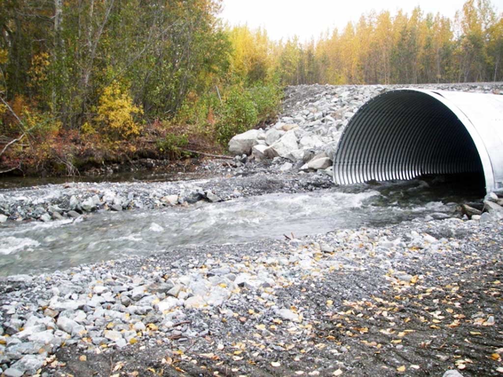
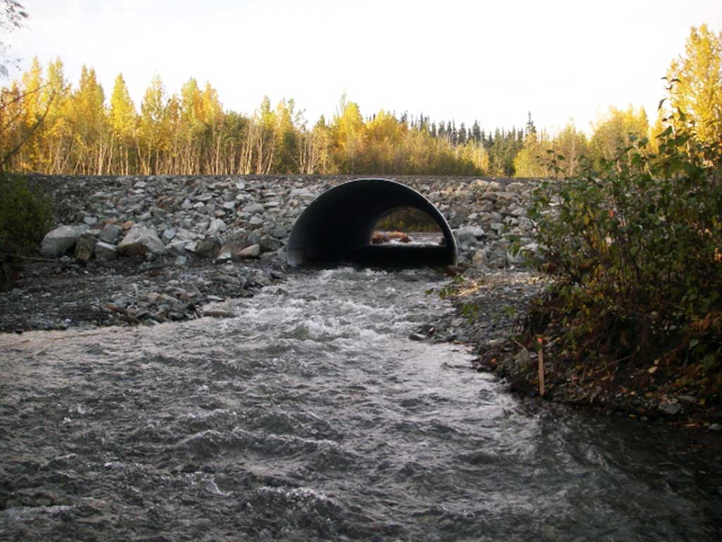
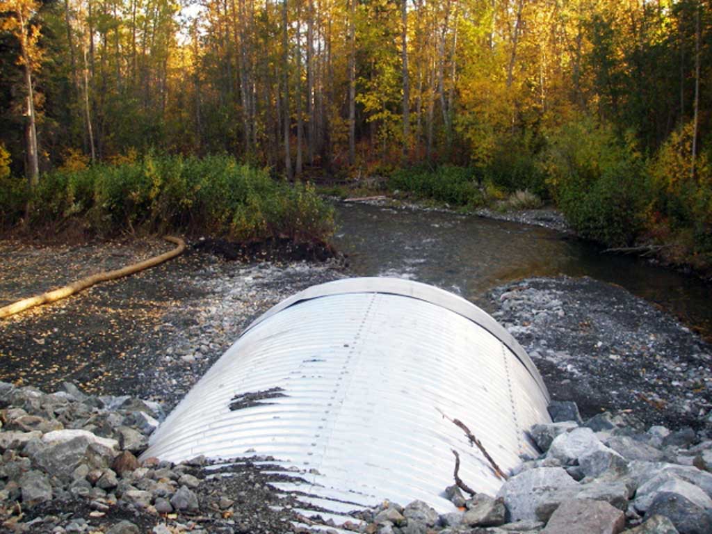
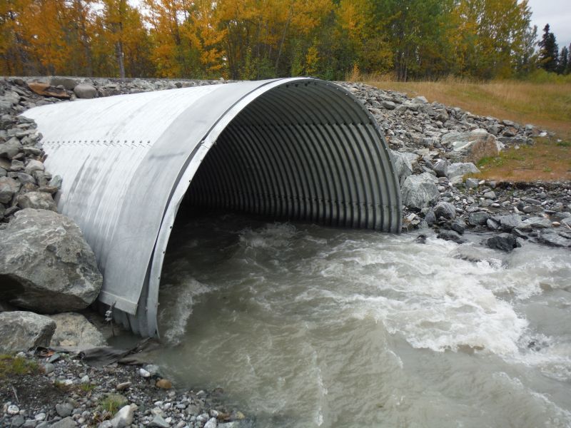
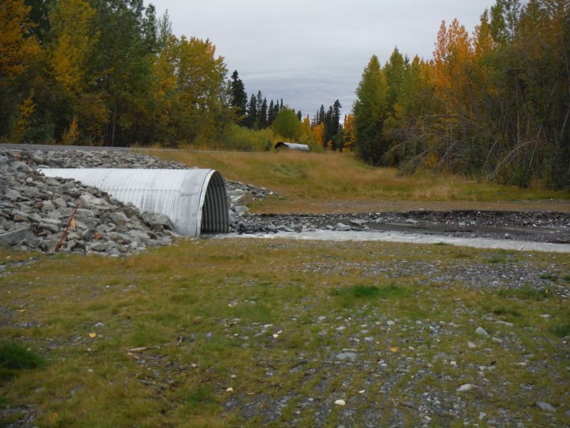
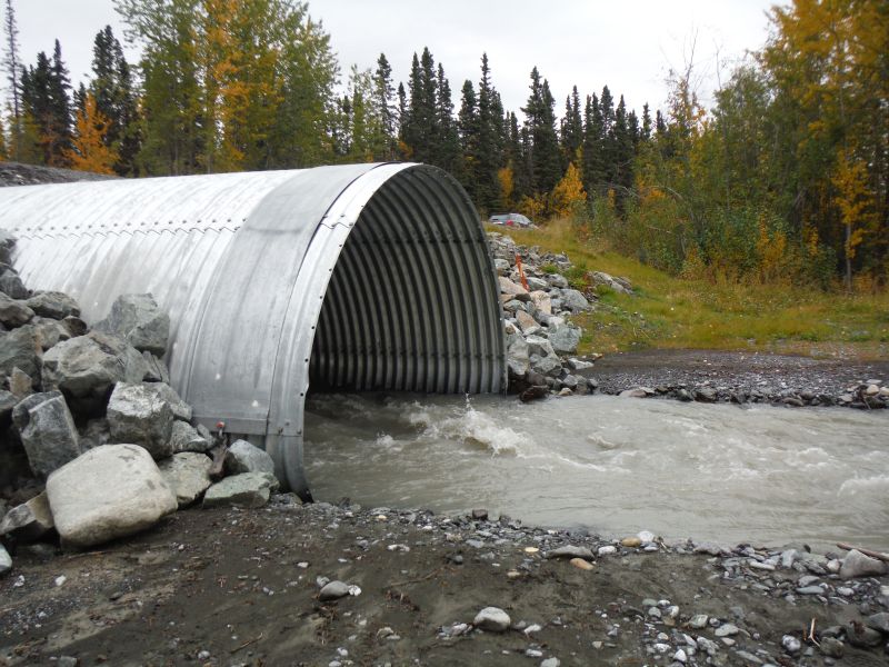
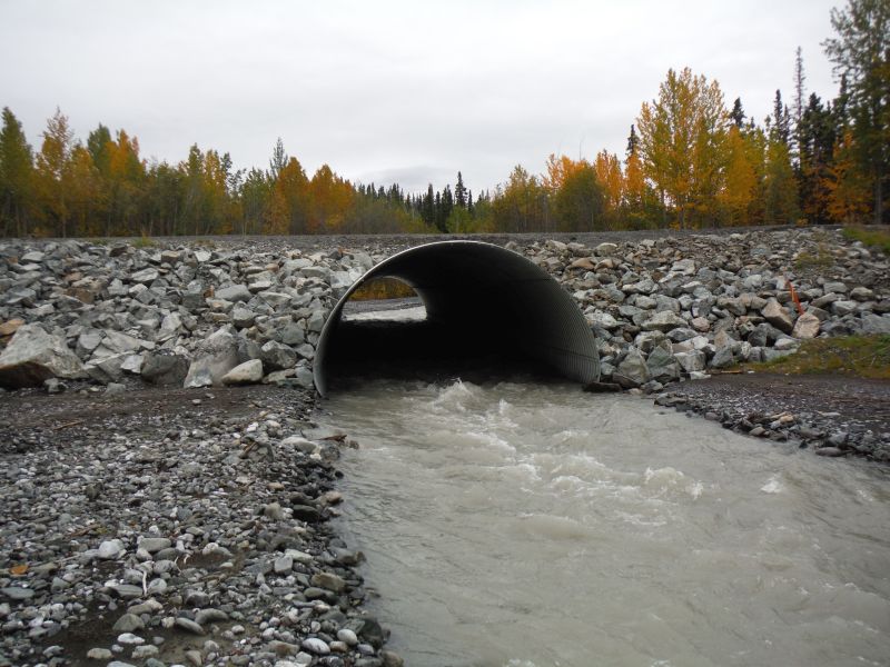
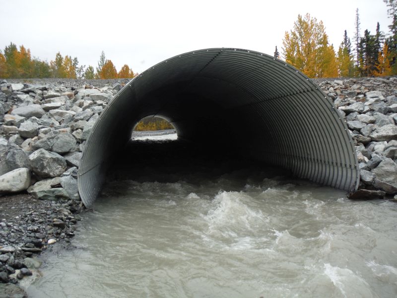
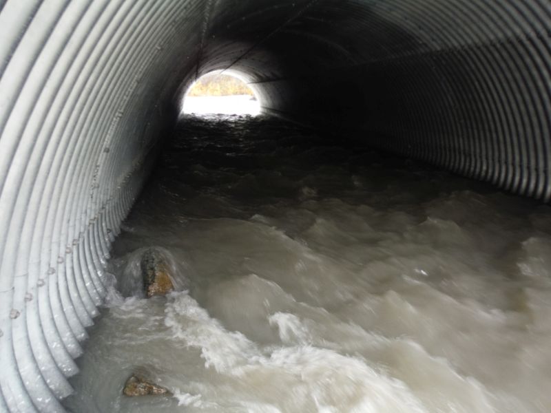
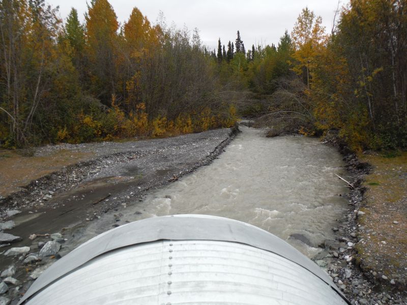
Comments: Update provided by the Copper River Watershed Project. Culverts were replaced with one large Pipe Arch. Culvert resurveyed by the Copper River Watershed Project on 9/12/14. Juvenile Coho caught upstream and downstream of crossing.
Culvert Measurements
| ID: 1 | Structure Type: Pipe-arch (Structural steel plate) | Fish Passage Rating: | |||||||||||||||||||||||||||||||||||||||||
|
|
|
|||||||||||||||||||||||||||||||||||||||||
Comments: Substrate estimated to be greater than 1 foot at both inverts but high velocity through culvert prevented hard measurement. Culvert may be Strucutral Aluminum Plate (SAP). Stream gradient taken with clinometer. |
|||||||||||||||||||||||||||||||||||||||||||
Culvert Observations:
|
|||||||||||||||||||||||||||||||||||||||||||
Stream Measurements
|
|
No stream width data available.
Elevations
| Locator ID | Culvert Number |
River Distance (ft)1 |
Distance From Crossing (ft)2 |
Relative Elevation (ft) |
|---|---|---|---|---|
| Road Elev | 100.76 | |||
| D/S Grade Ctrl (Thalweg) | 0.00 | 84.66 | ||
| D/S Water Surface Elev | 0.00 | 86.18 | ||
| D/S Water Surface Elev | 79.70 | 87.46 | ||
| D/S Tailcrest or 1st Thalweg | 79.70 | 85.90 | ||
| D/S Water Surface Elev | 107.55 | 87.73 | ||
| D/S Thalweg (Point in place of outlet pool, no pool standing waves) | 107.55 | 85.88 | ||
| Outlet Invert (on substrate) | 128.45 | 86.45 | ||
| D/S Water Surface Elev | 128.45 | 88.60 | ||
| Outlet Culvert Top | 128.45 | 96.70 | ||
| Inlet Culvert Top | 232.70 | 98.34 | ||
| U/S Water Surface Elev | 232.70 | 90.00 | ||
| Inlet Culvert Invert (on substrate) | 232.70 | 88.80 | ||
| U/S Grade Ctrl (Thalweg) | 249.40 | 89.40 | ||
| U/S Water Surface Elev | 249.40 | 90.60 | ||
| U/S Grade Ctrl (Thalweg) | 330.54 | 91.09 | ||
| U/S Water Surface Elev | 330.54 | 92.19 |
Notes:
- River distance is measured continuously throughout the survey reach along the thalweg of the stream.
- Measured from each end of the crossing along the thalweg of the stream.
Fish Sampling Efforts
| Gear Type: Minnow Trap (A) | ||
| Gear Type: Minnow Trap (B) | ||
| Gear Type: Minnow Trap (C) | ||
| Gear Type: Minnow Trap (D) | ||
| Gear Type: Minnow Trap (E) | ||
| Comments: No fish caught | ||
| Gear Type: Minnow Trap (F) | ||
| Gear Type: Minnow Trap (G) | ||
Fish Observations
| Species: juvenile Dolly Varden | Life History: | ||
| Total Fish Observed: 6 | Fish Measured: 6 | Fork Lengths (mm) Min: 75 Max: 120 Mean: 99 | |
| Collected/Observed by Gear Type: Downstream Minnow Trap (1) Downstream Minnow Trap (1) Upstream Minnow Trap (1) Upstream Minnow Trap (1) Upstream Minnow Trap (2) | |||
| Species: juvenile rainbow trout | Life History: | ||
| Total Fish Observed: 1 | Fish Measured: 1 | Fork Lengths (mm) Min: 56 Max: 56 Mean: 56 | |
| Collected/Observed by Gear Type: Upstream Minnow Trap (1) | |||
| Species: juvenile coho salmon | Life History: | ||
| Total Fish Observed: 1 | Fish Measured: 1 | Fork Lengths (mm) Min: 90 Max: 90 Mean: 90 | |
| Collected/Observed by Gear Type: Upstream Minnow Trap (1) | |||
Photos


Questions or comments about this report can be directed to dfg.dsf.webmaster@alaska.gov