Fish Passage Site 20101836
Coordinates (dec. deg.): 61.45503°, -143.76056°
Legal Description: C005S009E10
Region: South Central
Road Name: McCarthy Road
Datum: NAD83
Quad Name / ITM: Mc Carthy B-8
AWC Stream #:
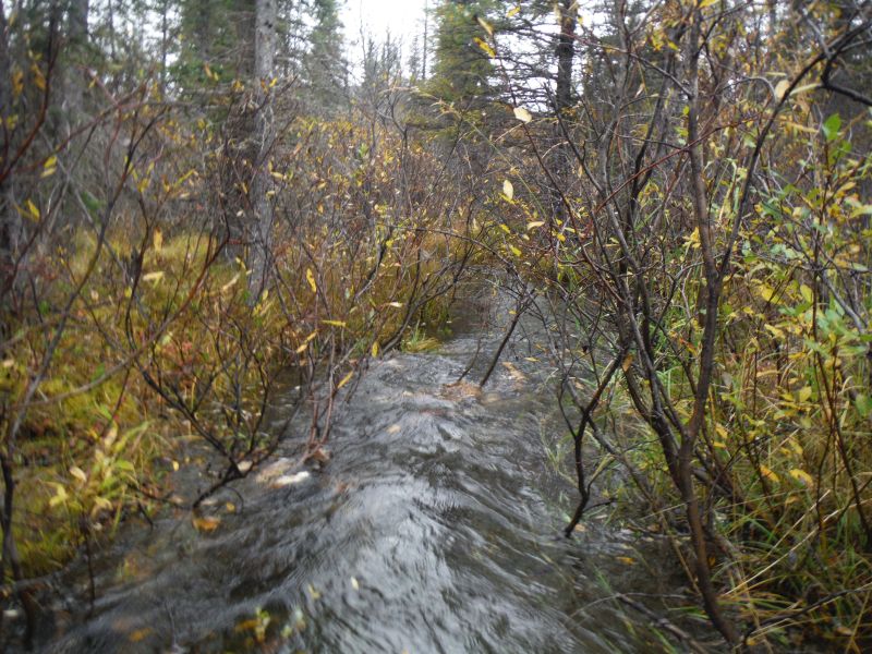
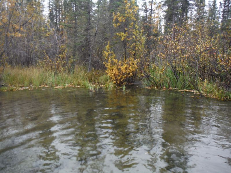
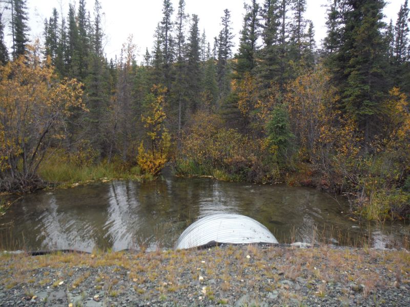
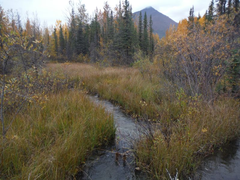
Stream Name: Chokosna River tributary
Elevation:
Site Comments: Mile 27 McCarthy Rd; Trib to Chokosna River
arrow to the right of the survey date below to choose a different report for this site.
Survey UPDATE-MAC13
Project Supervisor: Gillian O'Doherty, ADFG
Observers: Gillian O'Doherty
Overall Fish Passage Rating:
Tidal: No
Backwatered: No
Step Pools: No
Construction Year: 2012
Site Observations:
- Culvert gradient gray
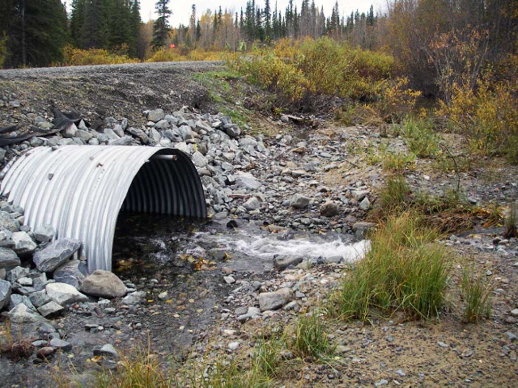
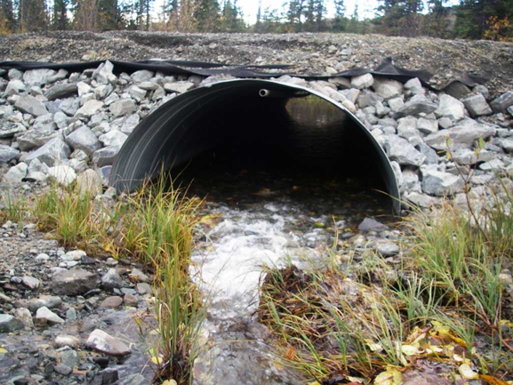
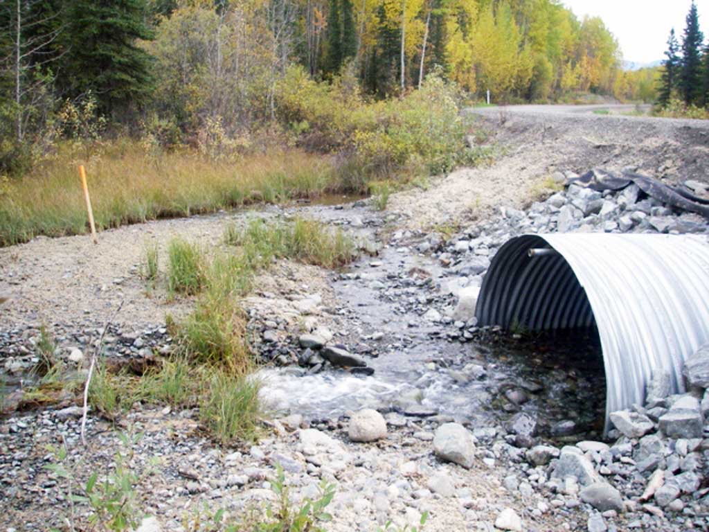
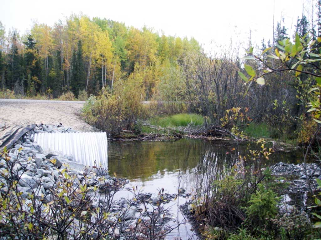
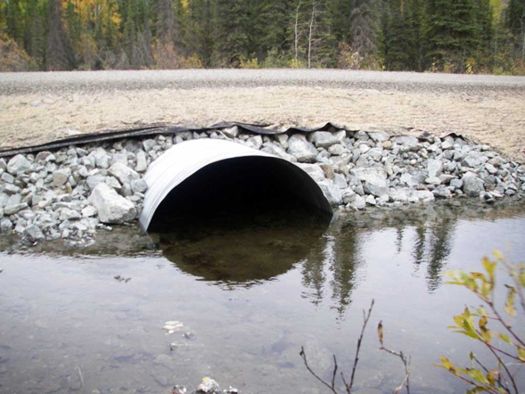
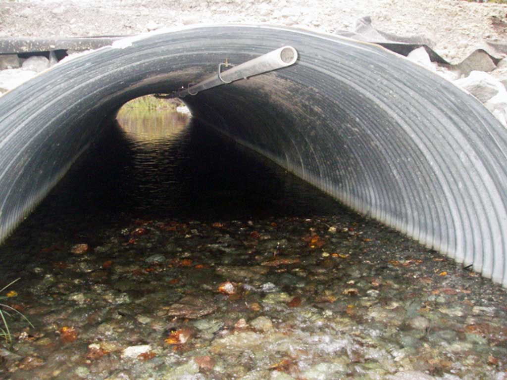
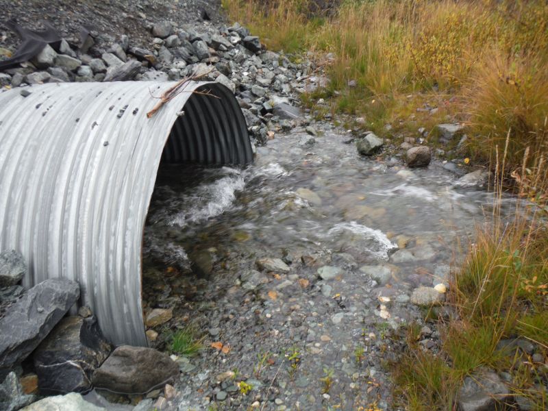
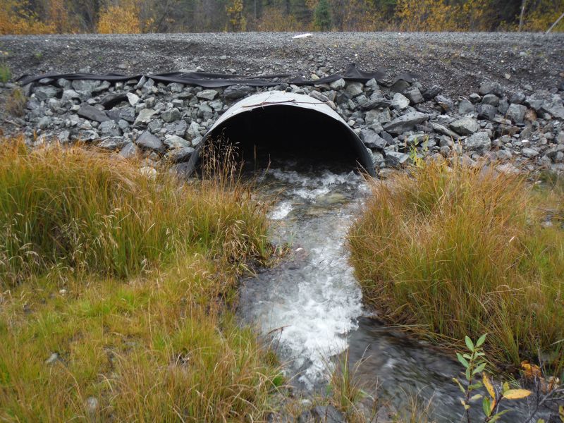
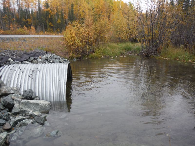
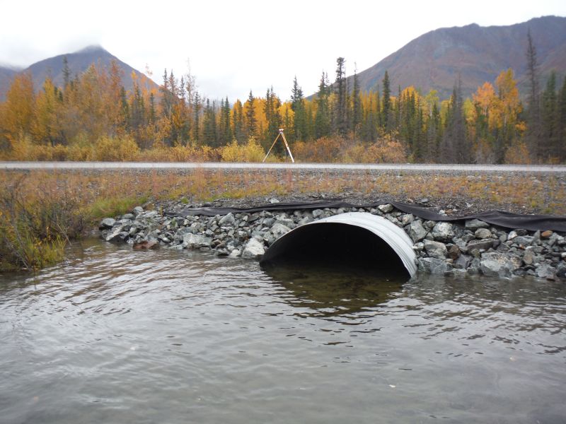
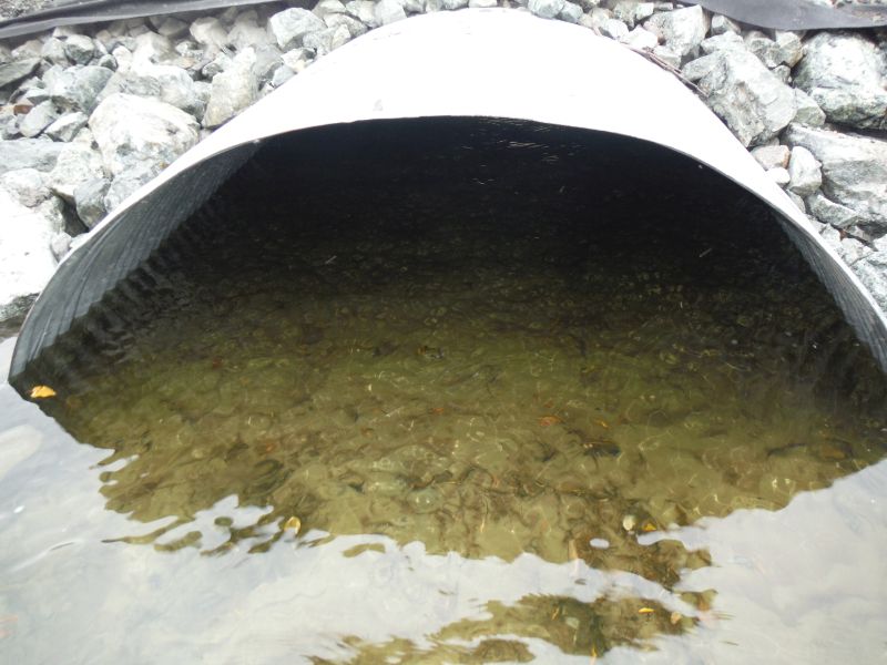
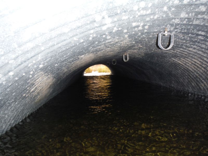
Comments: This crossing was replaced in 2012 and has been resurveyed by the Copper River Watershed Project on 9/12/14. . Photos provided by the Copper River Watershed Project. Dolly varden caught upstream and downstream of crossing
Culvert Measurements
| ID: 1 | Structure Type: Pipe-arch (Corrugated steel) | Fish Passage Rating: | |||||||||||||||||||||||||||||||||||||||||
|
|
|
|||||||||||||||||||||||||||||||||||||||||
Comments: Stream gradient taken with clinometer. |
|||||||||||||||||||||||||||||||||||||||||||
Culvert Observations:
|
|||||||||||||||||||||||||||||||||||||||||||
Stream Measurements
|
|
No stream width data available.
Elevations
| Locator ID | Culvert Number |
River Distance (ft)1 |
Distance From Crossing (ft)2 |
Relative Elevation (ft) |
|---|---|---|---|---|
| Road Elev | 99.98 | |||
| D/S Grade Ctrl (Thalweg) | 0.00 | 93.14 | ||
| D/S Water Surface Elev | 0.00 | 94.17 | ||
| D/S Water Surface Elev | 41.70 | 94.54 | ||
| D/S Tailcrest or 1st Thalweg | 41.70 | 93.53 | ||
| Outlet Pool Water Elev | 49.30 | 94.60 | ||
| Max Pool Depth | 49.30 | 93.41 | ||
| Outlet Invert (on substrate) | 59.90 | 93.52 | ||
| D/S Water Surface Elev | 59.90 | 94.66 | ||
| Outlet Culvert Top | 59.90 | 97.29 | ||
| Inlet Culvert Top | 108.00 | 98.25 | ||
| U/S Water Surface Elev | 108.00 | 94.91 | ||
| Inlet Culvert Invert (on substrate) | 108.00 | 94.21 | ||
| U/S Grade Ctrl (Thalweg) | 115.50 | 94.23 | ||
| U/S Water Surface Elev | 115.50 | 95.68 | ||
| U/S Water Surface Elev | 127.20 | 96.54 | ||
| U/S Grade Ctrl (Thalweg) | 127.20 | 94.90 | ||
| U/S Water Surface Elev | 175.10 | 96.84 | ||
| U/S Grade Ctrl (Thalweg) | 175.10 | 95.08 |
Notes:
- River distance is measured continuously throughout the survey reach along the thalweg of the stream.
- Measured from each end of the crossing along the thalweg of the stream.
Fish Sampling Efforts
| Gear Type: Minnow Trap (A) | ||
| Gear Type: Minnow Trap (B) | ||
| Comments: No fish caught | ||
| Gear Type: Minnow Trap (C) | ||
| Gear Type: Minnow Trap (D) | ||
| Comments: No fish caught | ||
| Gear Type: Minnow Trap (E) | ||
Fish Observations
| Species: juvenile Dolly Varden | Life History: | ||
| Total Fish Observed: 4 | Fish Measured: 4 | Fork Lengths (mm) Min: 85 Max: 105 Mean: 97 | |
| Collected/Observed by Gear Type: Downstream Minnow Trap (1) Upstream Minnow Trap (2) Upstream Minnow Trap (1) | |||
Photos


Questions or comments about this report can be directed to dfg.dsf.webmaster@alaska.gov