Fish Passage Site 20101835
Coordinates (dec. deg.): 61.45465°, -143.75995°
Legal Description: C005S009E11
Region: South Central
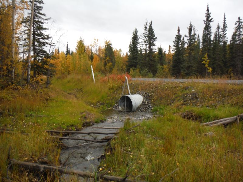
Road Name: McCarthy Road
Datum: NAD83
Quad Name / ITM: Mc Carthy B-8
AWC Stream #:
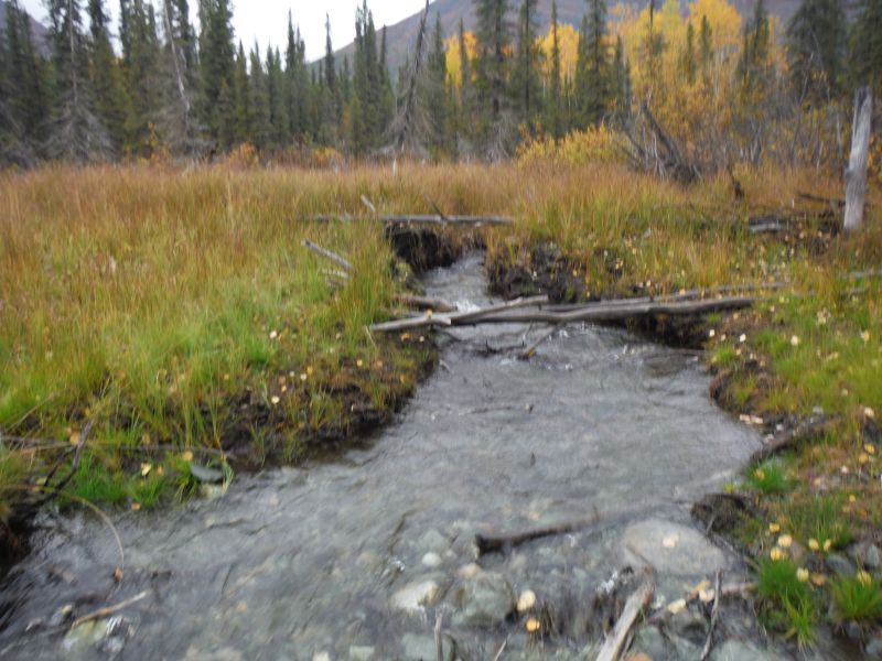
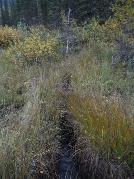
Stream Name: Chokosna River tributary
Elevation:
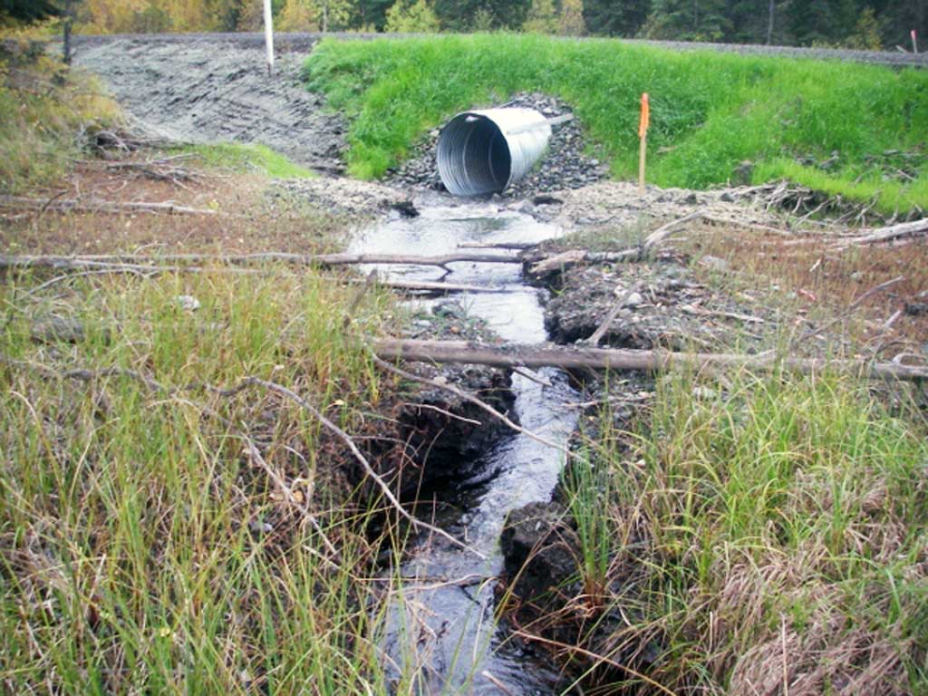
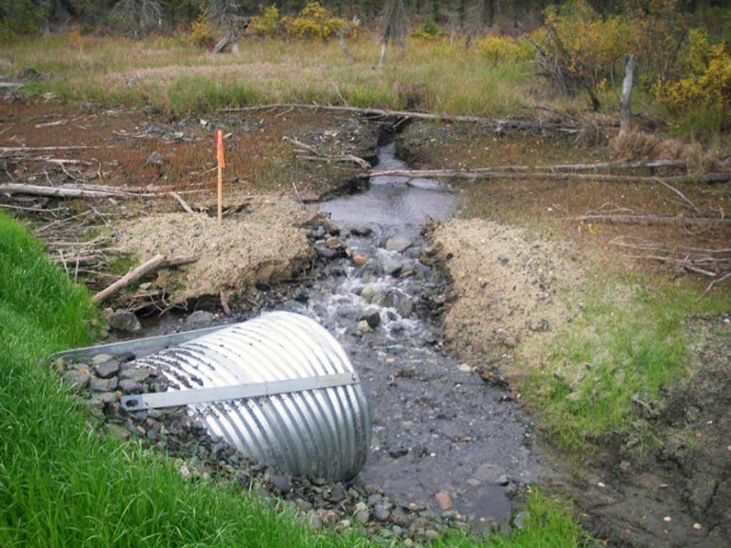
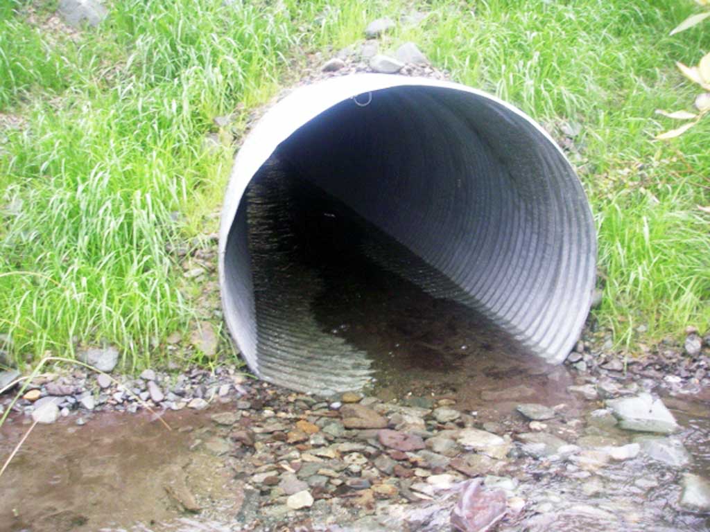
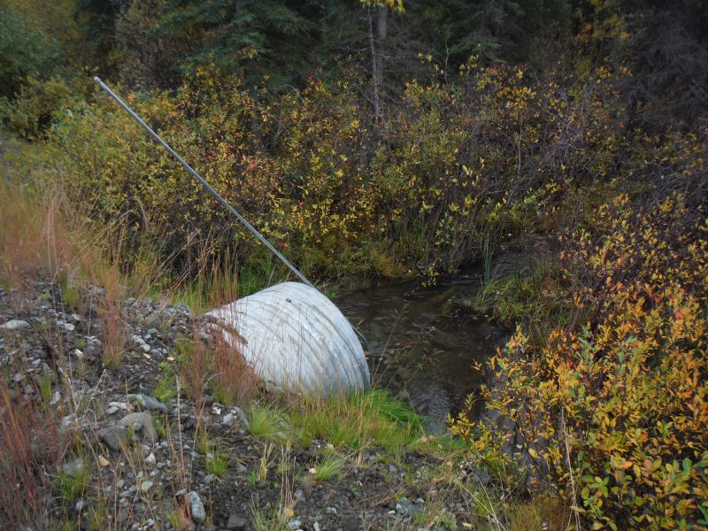
Site Comments: Mile 27 McCarthy Rd; Tributary to Chokosna River
arrow to the right of the survey date below to choose a different report for this site.
Survey UPDATE-MAC12
Project Supervisor: Gillian O'Doherty, ADFG
Observers: Gillian O'Doherty
Overall Fish Passage Rating:
Tidal: No
Backwatered: No
Step Pools: No
Construction Year: 2012
Site Observations:
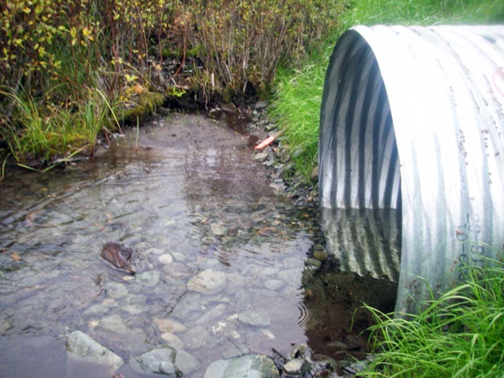
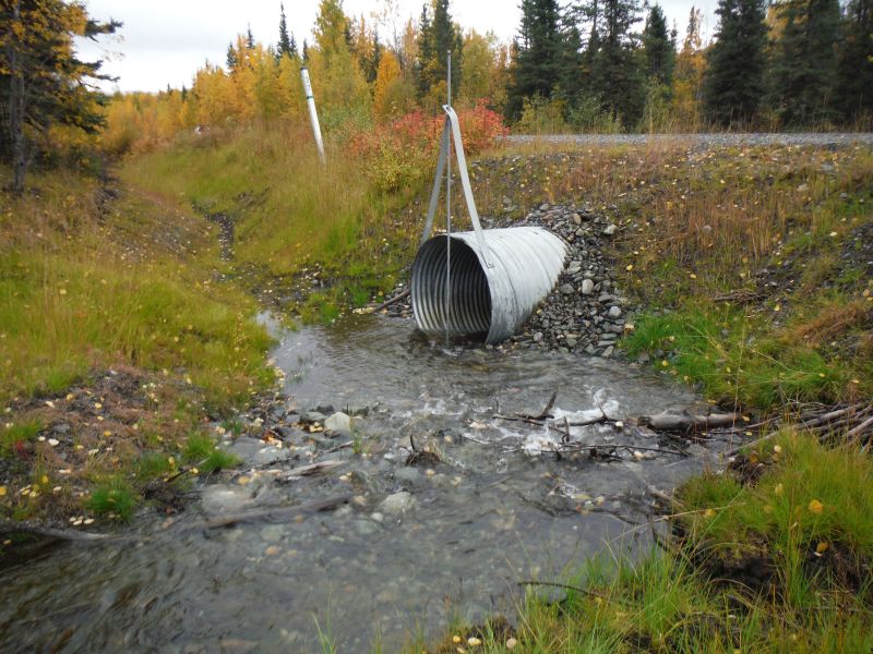
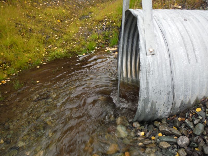
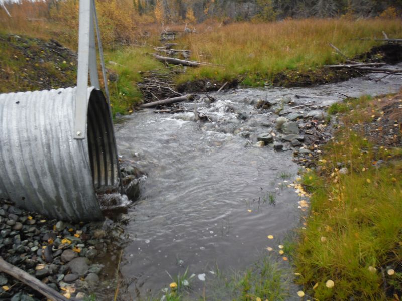
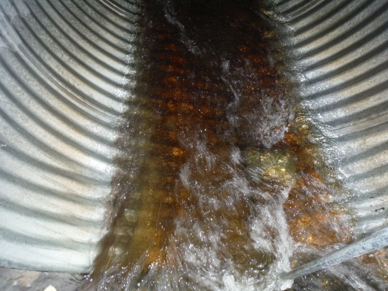
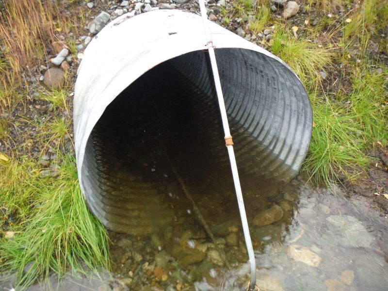
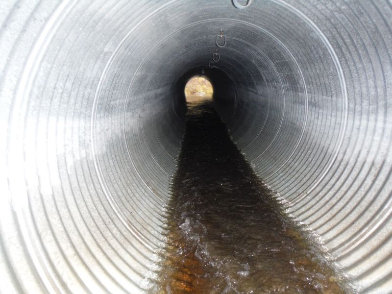
- Culvert gradient red
- Improper bedding
- Inlet perch
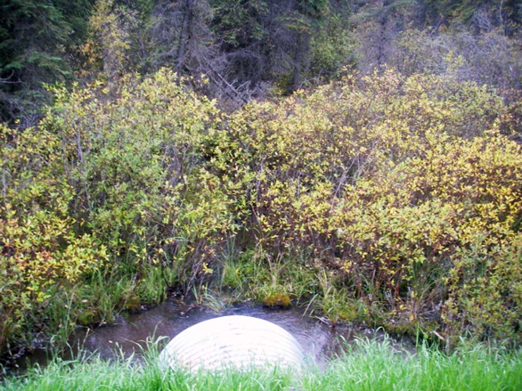
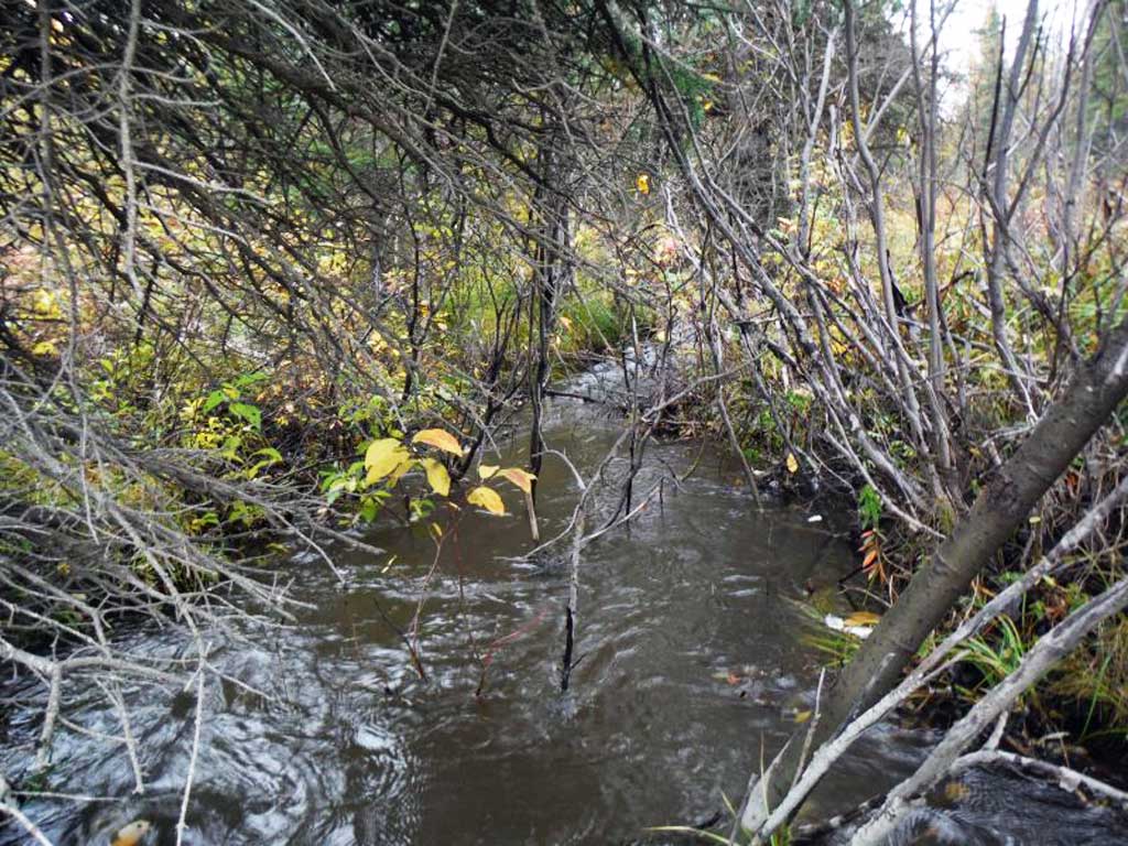
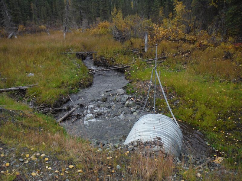
Comments: This crossing was replaced in 2012 and has been resurveyed by the Copper River Watershed Project . Photos provided by the Copper River Watershed Project. Site resurveyed 9/12/14.
Culvert Measurements
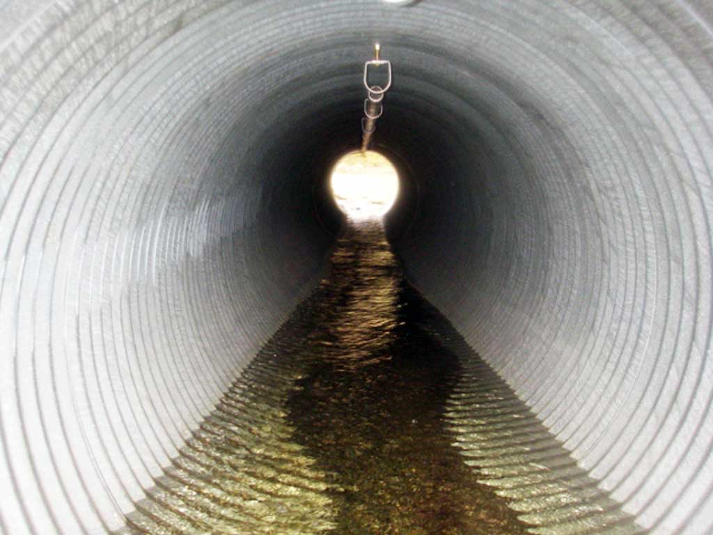
| ID: 1 | Structure Type: Circular pipe (Corrugated steel) | Fish Passage Rating: | |||||||||||||||||||||||||||||||||||||||||
|
|
|
|||||||||||||||||||||||||||||||||||||||||
Comments: Stream gradient taken with clinometer. |
|||||||||||||||||||||||||||||||||||||||||||
Culvert Observations:
|
|||||||||||||||||||||||||||||||||||||||||||
Stream Measurements
|
|
No stream width data available.
Elevations
| Locator ID | Culvert Number |
River Distance (ft)1 |
Distance From Crossing (ft)2 |
Relative Elevation (ft) |
|---|---|---|---|---|
| Road Elev | 100.12 | |||
| D/S Grade Ctrl (Thalweg) | 0.00 | 90.37 | ||
| D/S Water Surface Elev | 0.00 | 92.02 | ||
| D/S Tailcrest or 1st Thalweg | 28.55 | 92.36 | ||
| D/S Water Surface Elev | 28.55 | 93.12 | ||
| Outlet Pool Water Elev | 31.50 | 93.16 | ||
| Max Pool Depth | 31.50 | 92.22 | ||
| D/S Water Surface Elev | 34.50 | 93.17 | ||
| Outlet Invert | 34.50 | 92.11 | ||
| Outlet Culvert Top | 34.50 | 95.95 | ||
| Inlet Culvert Top | 84.35 | 97.75 | ||
| Inlet Culvert Invert | 84.35 | 93.69 | ||
| U/S Water Surface Elev | 84.35 | 94.22 | ||
| U/S Grade Ctrl (Thalweg) | 90.55 | 94.31 | ||
| U/S Water Surface Elev | 90.55 | 94.63 | ||
| U/S Grade Ctrl (Thalweg) | 98.75 | 94.86 | ||
| U/S Water Surface Elev | 98.75 | 95.38 | ||
| U/S Water Surface Elev | 113.55 | 95.73 | ||
| U/S Grade Ctrl (Thalweg) | 113.55 | 95.15 | ||
| U/S Water Surface Elev | 173.05 | 98.59 | ||
| U/S Grade Ctrl (Thalweg) | 173.05 | 96.77 |
Notes:
- River distance is measured continuously throughout the survey reach along the thalweg of the stream.
- Measured from each end of the crossing along the thalweg of the stream.
Fish Sampling Efforts
| Gear Type: Minnow Trap (A) | ||
| Comments: No fish caught | ||
| Gear Type: Minnow Trap (B) | ||
| Comments: No fish caught | ||
| Gear Type: Minnow Trap (C) | ||
| Gear Type: Minnow Trap (D) | ||
| Comments: No fish caught or observed. | ||
Fish Observations
| Species: juvenile Dolly Varden | Life History: | ||
| Total Fish Observed: 1 | Fish Measured: 1 | Fork Lengths (mm) Min: 100 Max: 100 Mean: 100 | |
| Collected/Observed by Gear Type: Downstream Minnow Trap (1) | |||
Photos

Questions or comments about this report can be directed to dfg.dsf.webmaster@alaska.gov