Fish Passage Site 20100775
Coordinates (dec. deg.): 62.40978°, -145.02932°
Legal Description: C007N002E03
Region: South Central
Road Name: Tok Cut-Off
Datum: NAD83
Quad Name / ITM: Gulkana B-3
AWC Stream #:
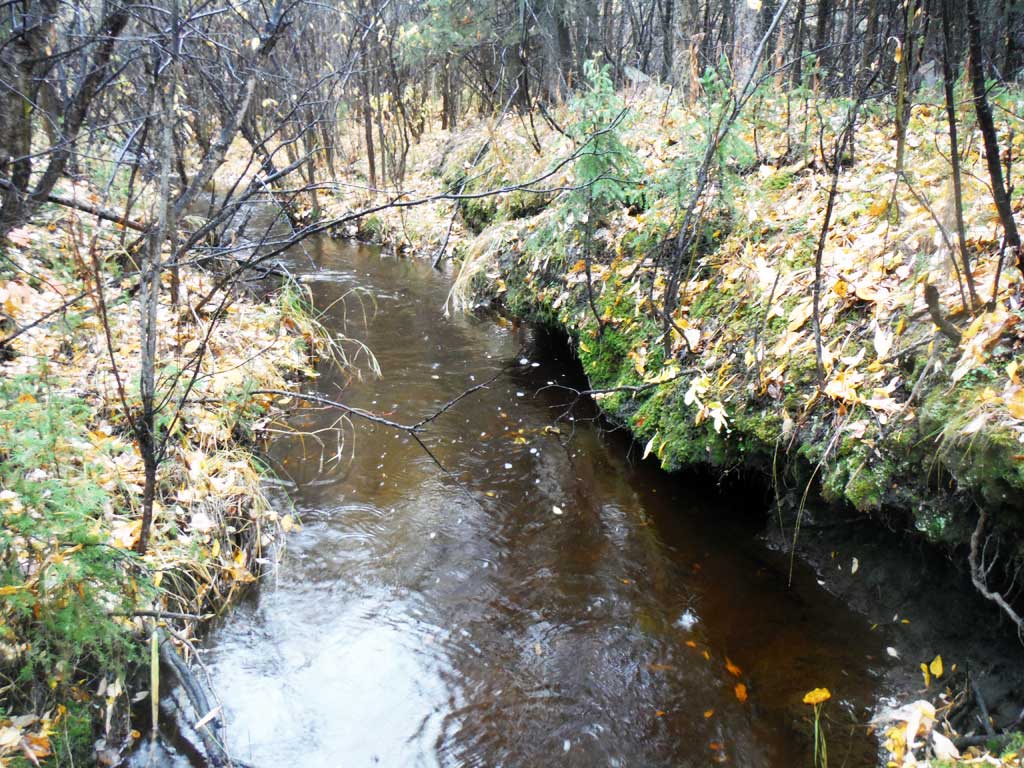
Stream Name: Unnamed
Elevation:
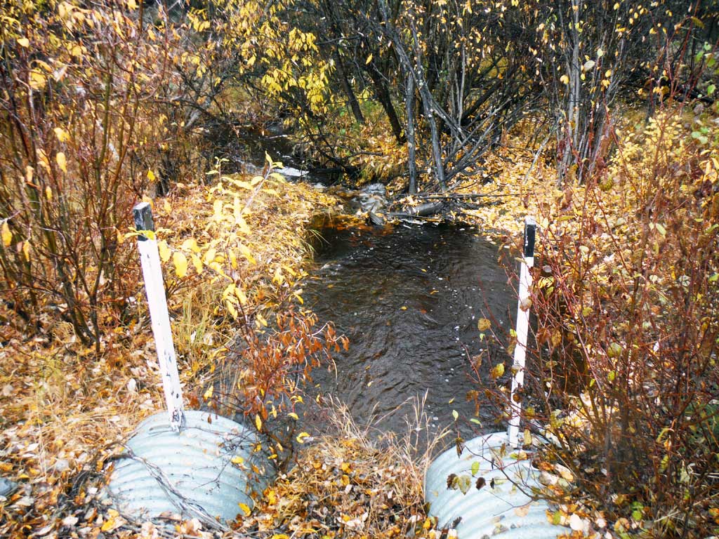
Site Comments: MP 15.5
arrow to the right of the survey date below to choose a different report for this site.
Survey UPDATE-TOK08
Project Supervisor: Gillian O'Doherty, ADFG
Observers: Andrew Kastning
Overall Fish Passage Rating:
Tidal: No
Backwatered: No
Step Pools: No
Construction Year:
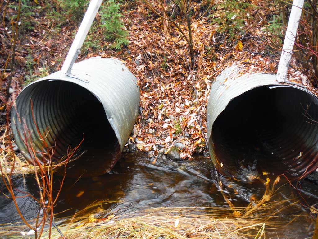
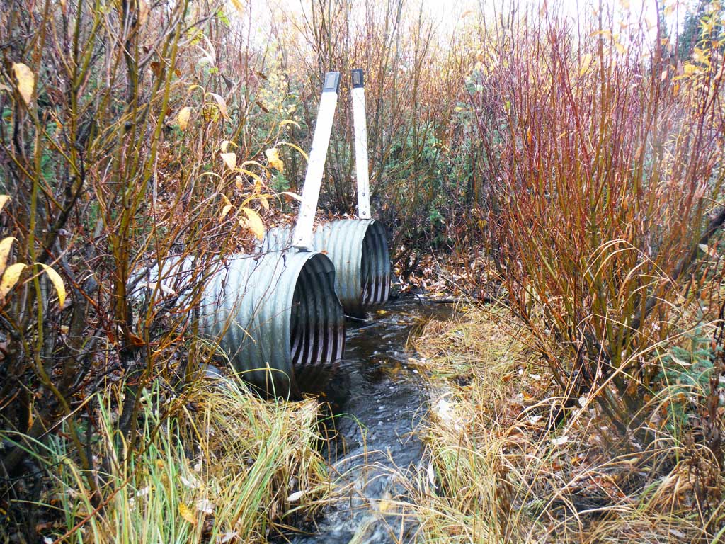
Site Observations:
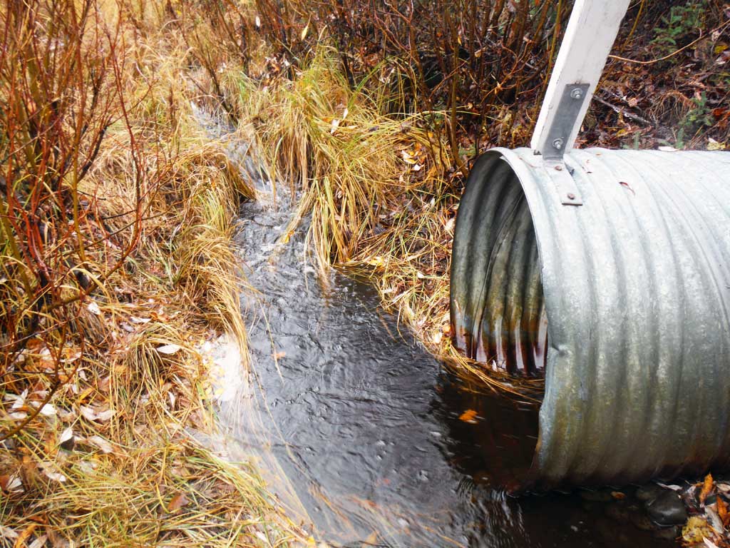
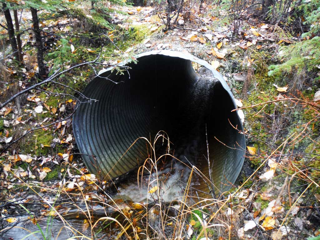
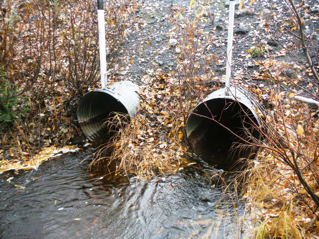
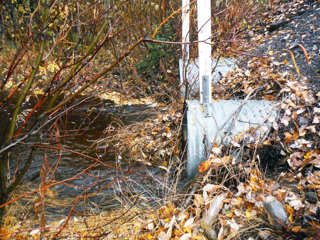
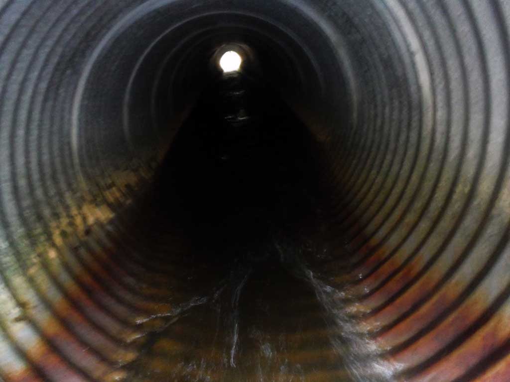
- Culvert gradient red
- Constriction ratio gray
- Culvert is poorly aligned
- Inlet perch
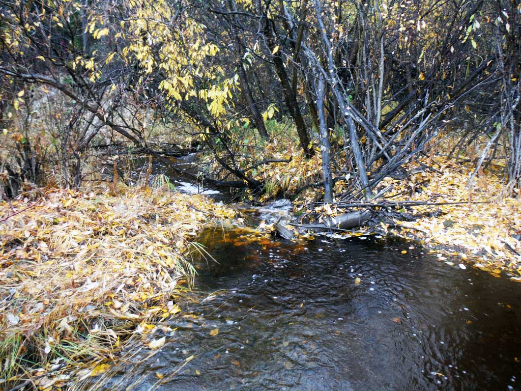
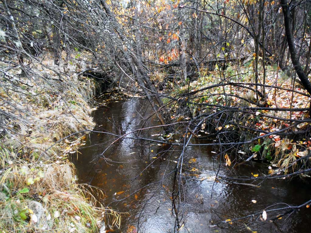
Comments: This assessment was conducted by the Copper River Watershed Project. Upstream stream gradient 1.5%, downstream 3%.
Culvert Measurements
| ID: 1 | Structure Type: Circular pipe (Corrugated steel) | Fish Passage Rating: | |||||||||||||||||||||||||||||||||||||||||
|
|
|
|||||||||||||||||||||||||||||||||||||||||
Culvert Observations:
|
|||||||||||||||||||||||||||||||||||||||||||
| ID: 2 | Structure Type: Circular pipe (Corrugated steel) | Fish Passage Rating: | |||||||||||||||||||||||||||||||||||||||||
|
|
|
|||||||||||||||||||||||||||||||||||||||||
Culvert Observations:
|
|||||||||||||||||||||||||||||||||||||||||||
Stream Measurements
|
|
| Stream Width Type | Distance From Crossing (ft) |
Stream Width (ft) |
|---|---|---|
| Downstream ordinary high water | 9.80 | |
| Downstream ordinary high water | 11.00 | |
| Downstream ordinary high water | 12.30 | |
| Upstream ordinary high water | 4.20 | |
| Upstream ordinary high water | 5.50 | |
| Upstream ordinary high water | 7.50 |
Elevations
| Locator ID | Culvert Number |
River Distance (ft)1 |
Distance From Crossing (ft)2 |
Relative Elevation (ft) |
|---|---|---|---|---|
| Road Elev | 105.04 | |||
| D/S Water Surface Elev | 0.00 | 89.95 | ||
| D/S Grade Ctrl (Thalweg) | 0.00 | 87.73 | ||
| D/S Grade Ctrl (Thalweg) | 37.00 | 89.05 | ||
| D/S Water Surface Elev | 37.00 | 90.35 | ||
| D/S Grade Ctrl (Thalweg) | 42.00 | 90.36 | ||
| D/S Water Surface Elev | 42.00 | 90.96 | ||
| D/S Tailcrest or 1st Thalweg | 48.00 | 91.56 | ||
| D/S Water Surface Elev | 48.00 | 92.17 | ||
| Outlet Pool Water Elev | 59.00 | 92.20 | ||
| Max Pool Depth | 59.00 | 91.16 | ||
| Outlet Invert | 1 | 63.00 | 91.92 | |
| Outlet Invert | 2 | 63.00 | 91.94 | |
| D/S Water Surface Elev | 1 | 63.00 | 92.22 | |
| D/S Water Surface Elev | 2 | 63.00 | 92.20 | |
| Outlet Culvert Top | 2 | 63.00 | 94.90 | |
| Outlet Culvert Top | 1 | 63.00 | 94.95 | |
| U/S Water Surface Elev | 2 | 143.00 | 94.04 | |
| U/S Water Surface Elev | 1 | 143.00 | 94.07 | |
| Inlet Culvert Invert | 1 | 143.00 | 93.57 | |
| Inlet Culvert Top | 2 | 143.00 | 96.53 | |
| Inlet Culvert Top | 1 | 143.00 | 96.62 | |
| Inlet Culvert Invert | 2 | 143.00 | 93.54 | |
| U/S Grade Ctrl (Thalweg) | 154.00 | 91.96 | ||
| U/S Water Surface Elev | 154.00 | 94.16 | ||
| U/S Water Surface Elev | 162.00 | 94.44 | ||
| U/S Grade Ctrl (Thalweg) | 162.00 | 93.56 | ||
| U/S Grade Ctrl (Thalweg) | 175.00 | 93.91 | ||
| U/S Water Surface Elev | 175.00 | 95.22 | ||
| U/S Water Surface Elev | 214.00 | 95.40 | ||
| U/S Grade Ctrl (Thalweg) | 214.00 | 94.39 | ||
| U/S Grade Ctrl (Thalweg) | 246.00 | 94.41 | ||
| U/S Water Surface Elev | 246.00 | 95.56 |
Notes:
- River distance is measured continuously throughout the survey reach along the thalweg of the stream.
- Measured from each end of the crossing along the thalweg of the stream.
Fish Sampling Efforts
| Gear Type: Minnow Trap (A) | Trap Duration(h): 18.0 | |
| Comments: 2 traps set upstream, no fish caught or observed | ||
| Gear Type: Minnow Trap (B) | Trap Duration(h): 18.0 | |
| Comments: 2 traps set downstream. | ||
Fish Observations
| Species: Dolly Varden | Life History: | ||
| Total Fish Observed: 1 | Fish Measured: 1 | Fork Lengths (mm) Min: 95 Max: 95 Mean: 95 | |
| Collected/Observed by Gear Type: Downstream Minnow Trap (1) Upstream Minnow Trap () | |||
| Comments: Dolly Varden caught upstream of crossing. | |||
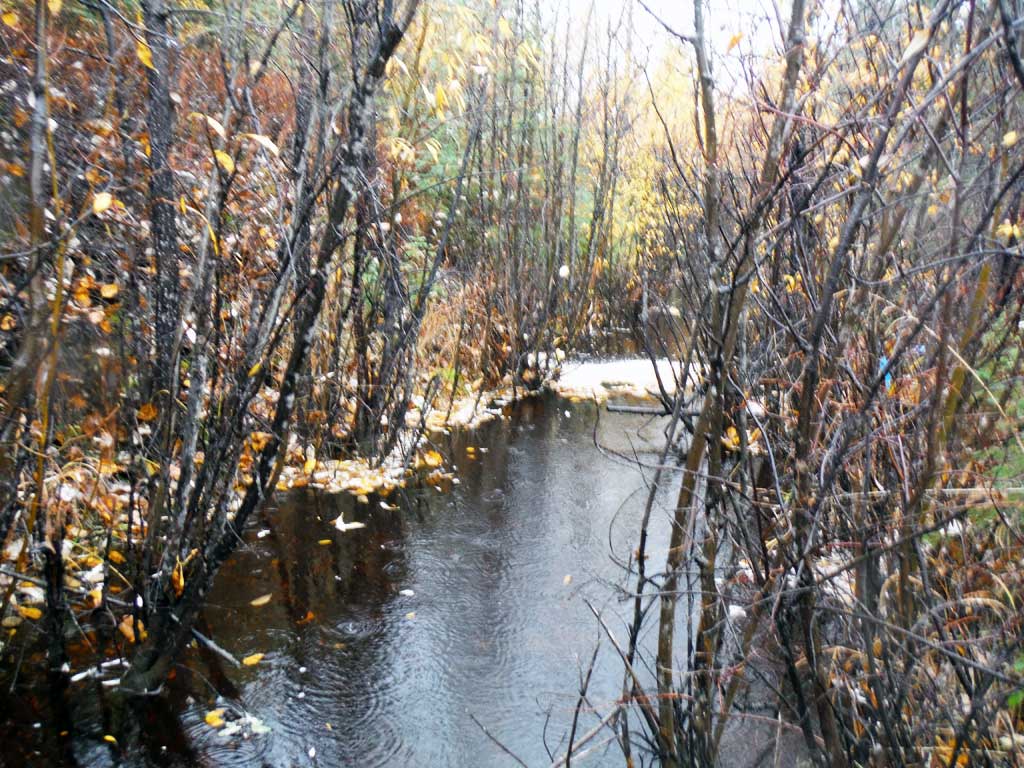
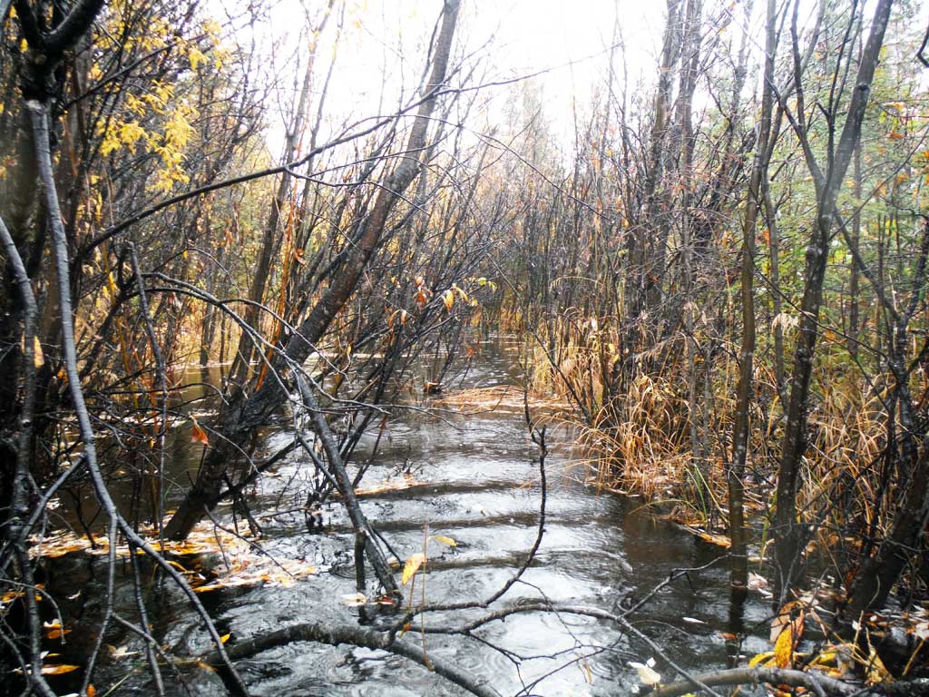
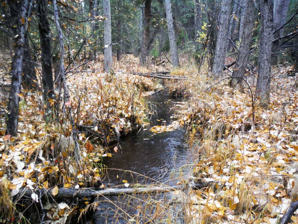
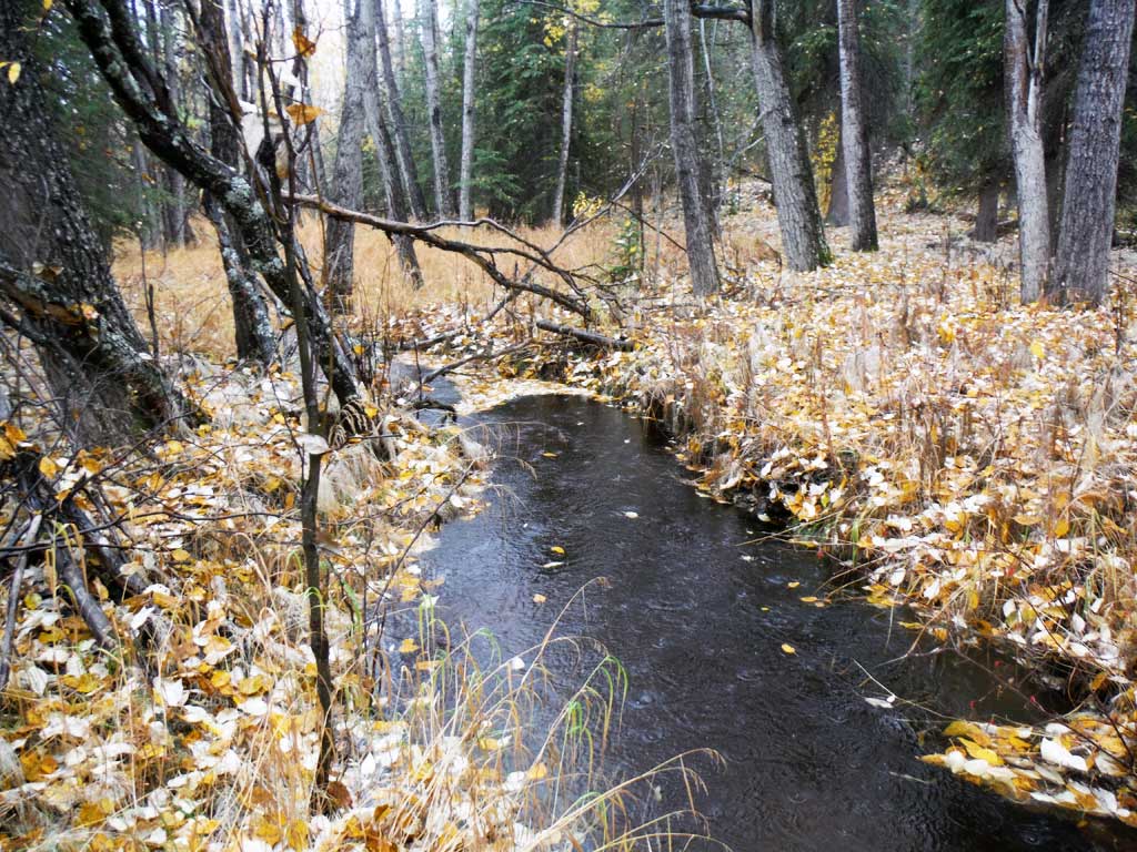
Photos


Questions or comments about this report can be directed to dfg.dsf.webmaster@alaska.gov