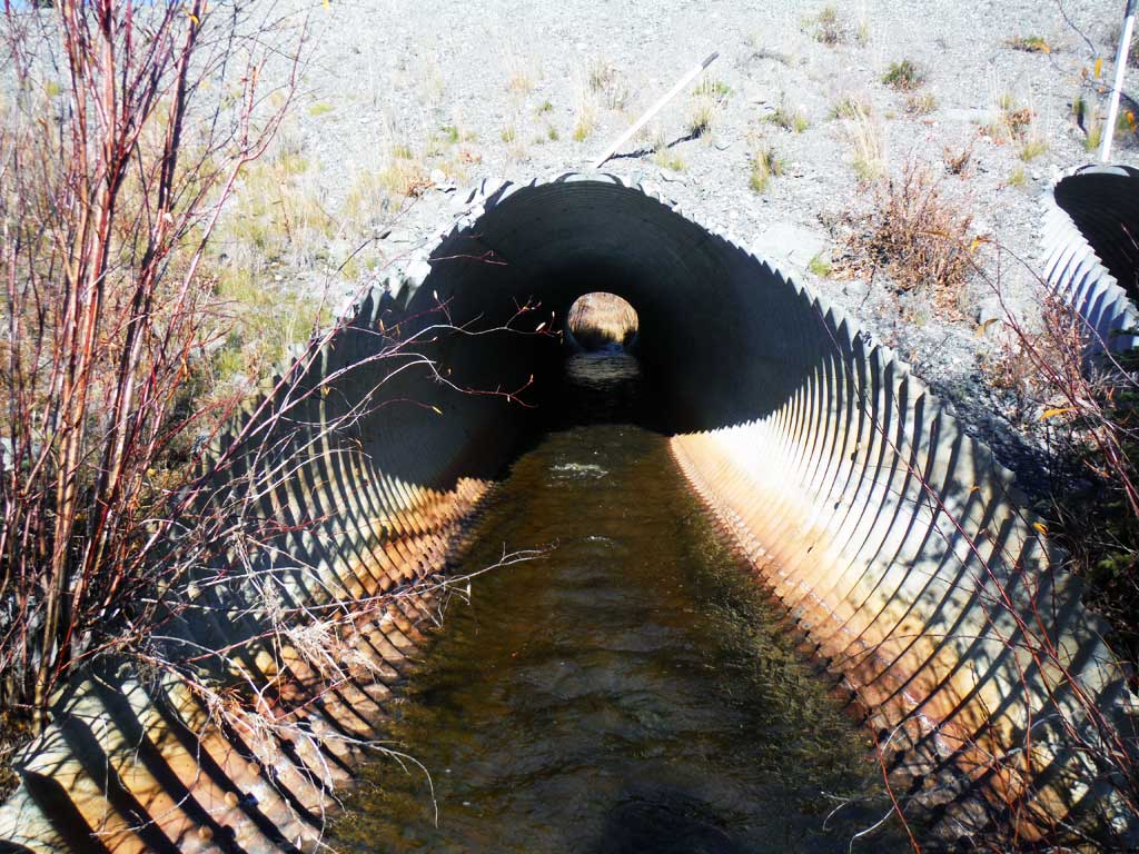
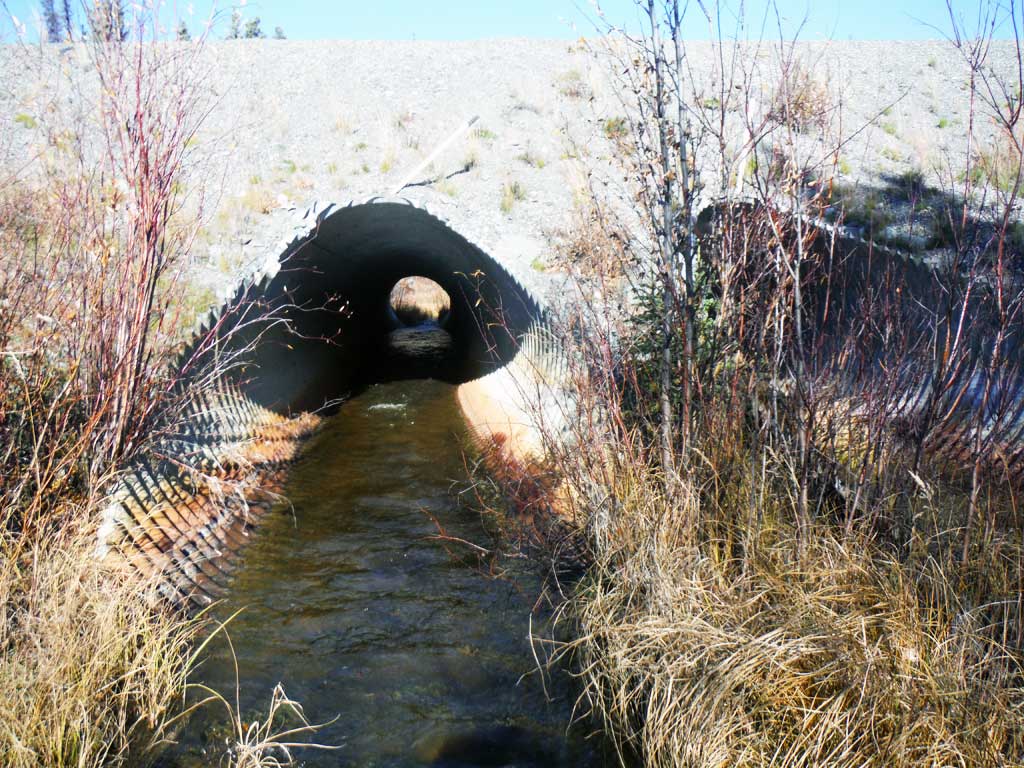
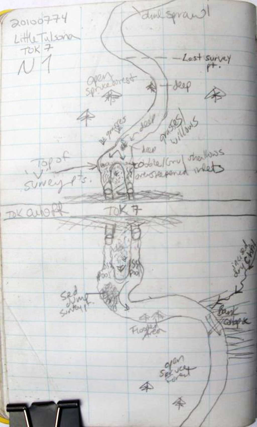
Fish Passage Site 20100774
Coordinates (dec. deg.): 62.43242°, -144.95736°
Legal Description: C008N002E36
Region: South Central
Road Name: Tok Cut-Off
Datum: NAD83
Quad Name / ITM: Gulkana B-2
AWC Stream #:
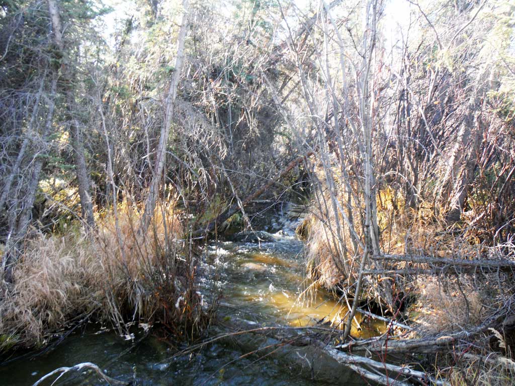
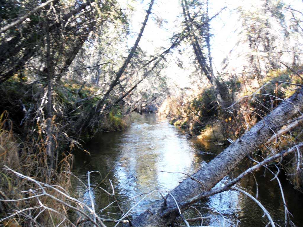
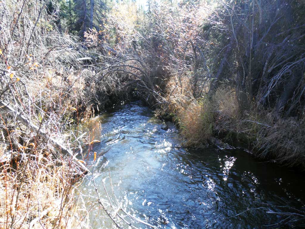
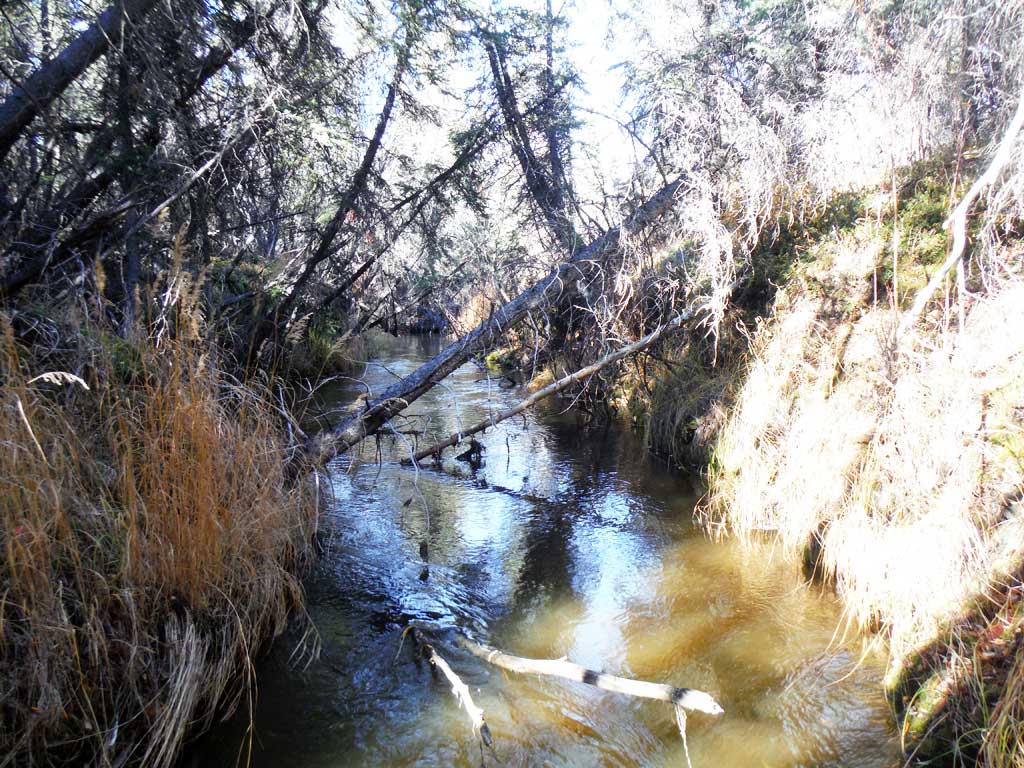
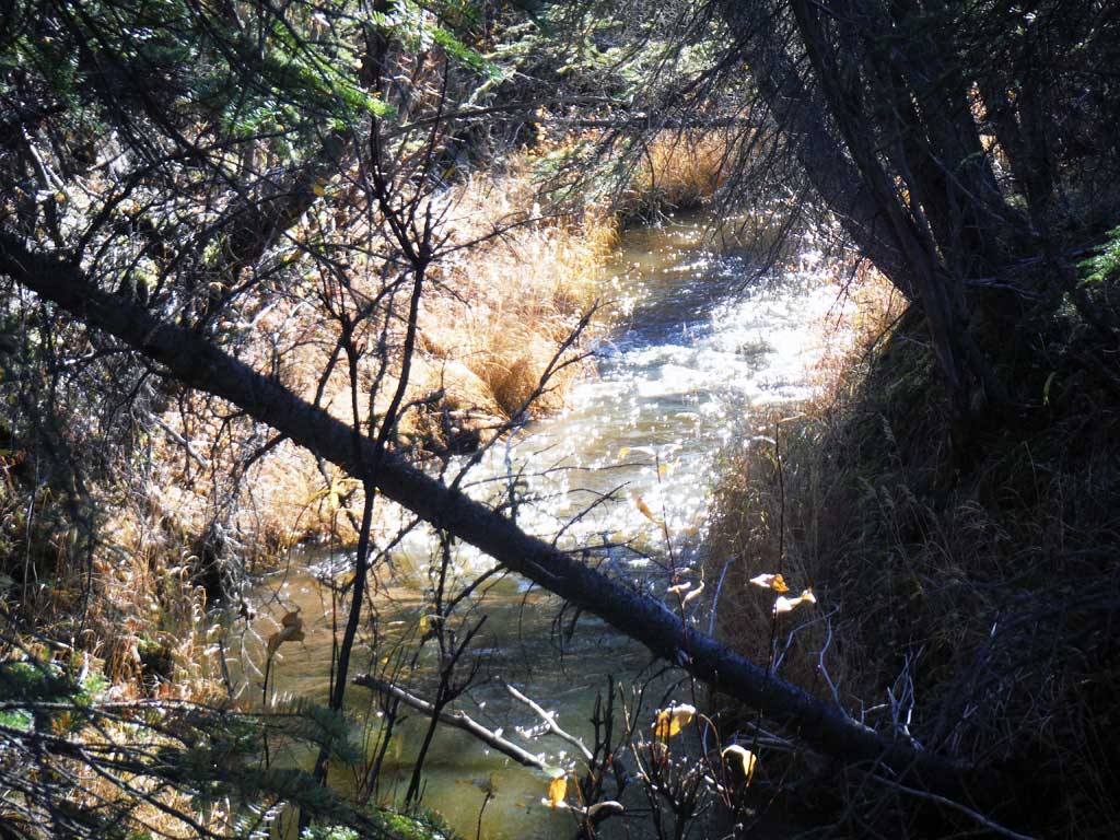
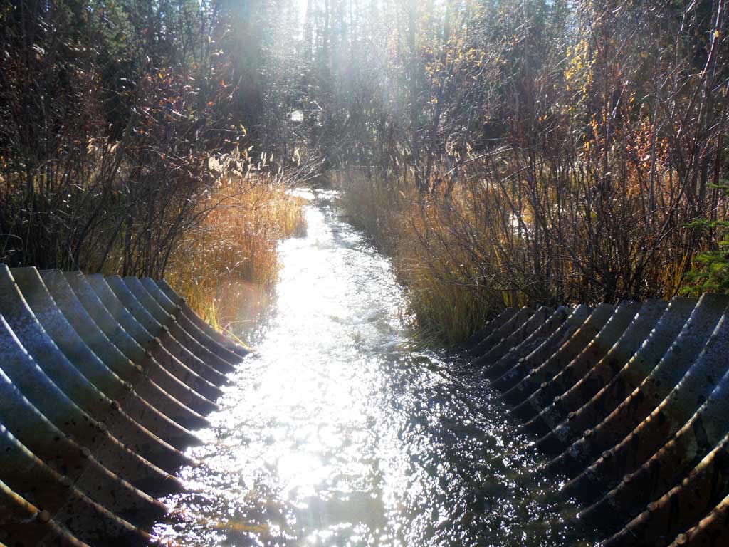
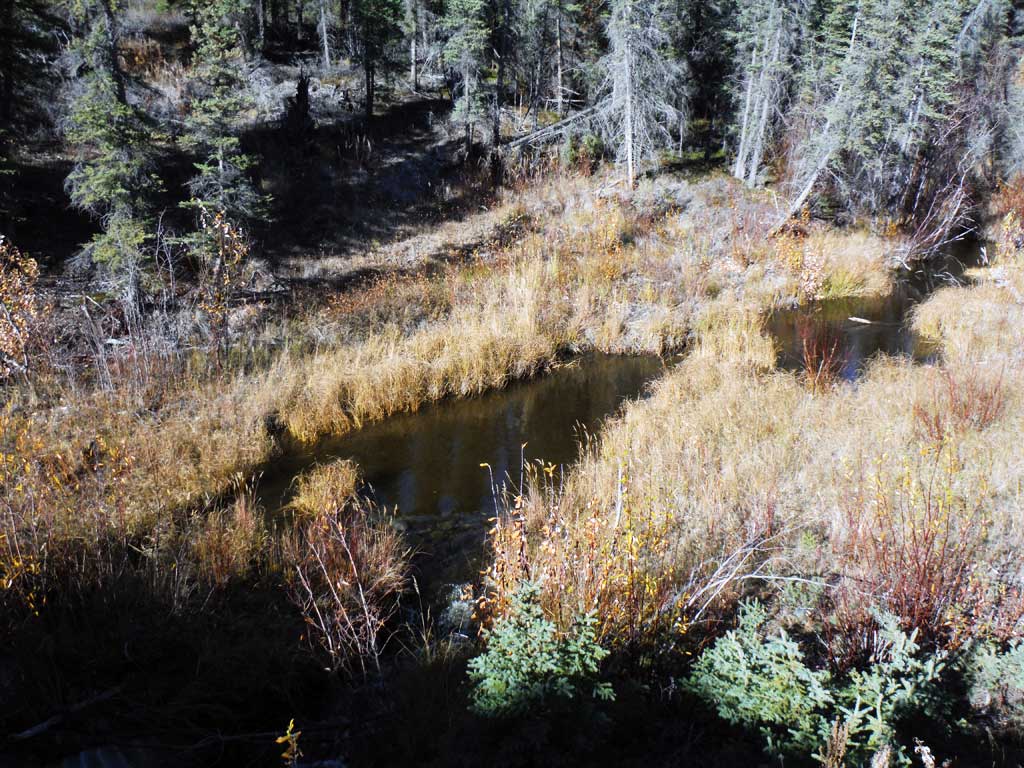
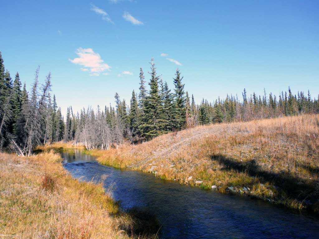
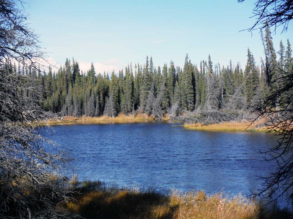
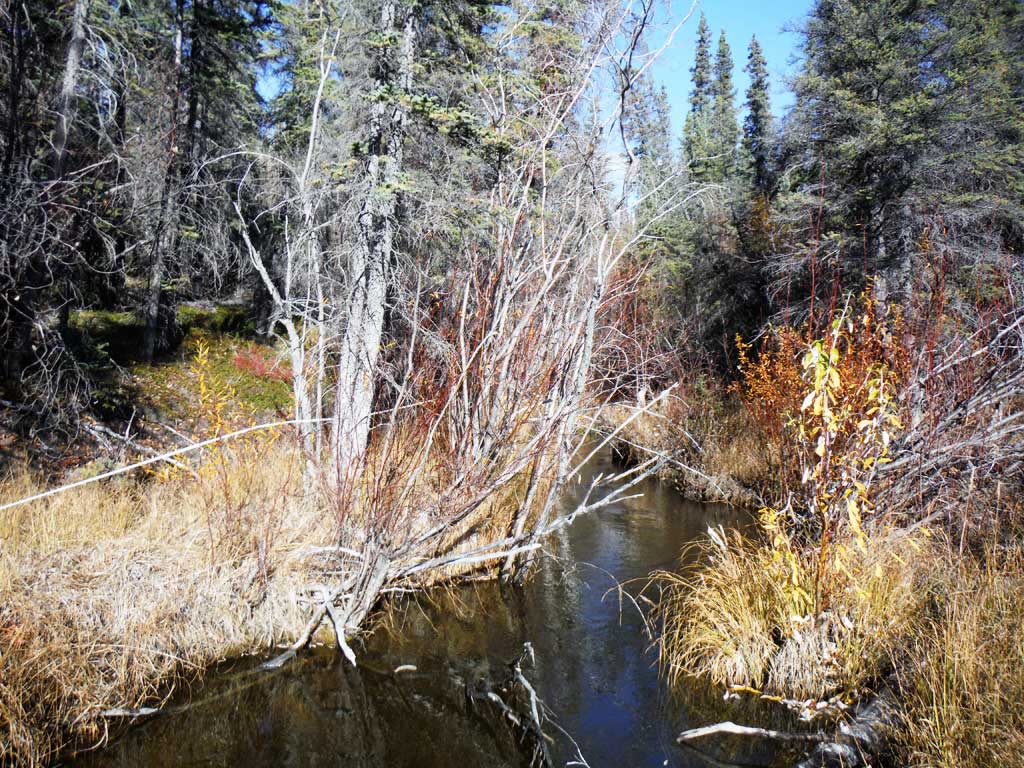
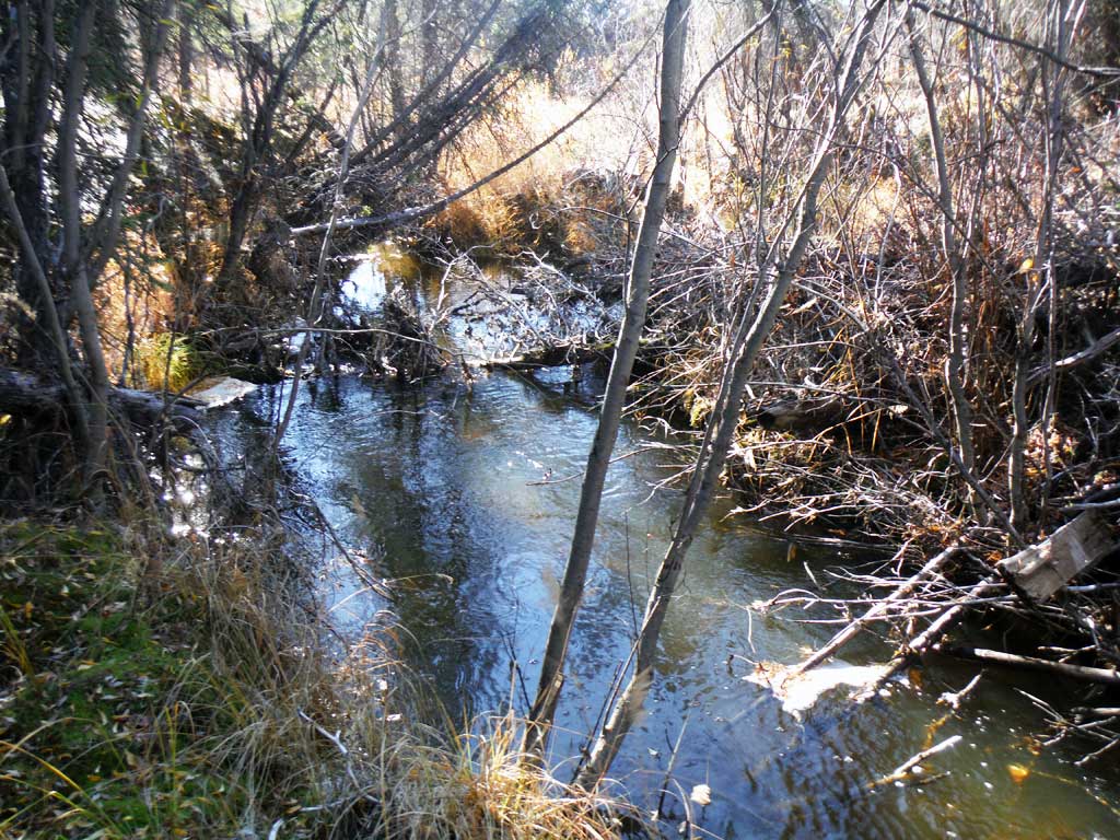
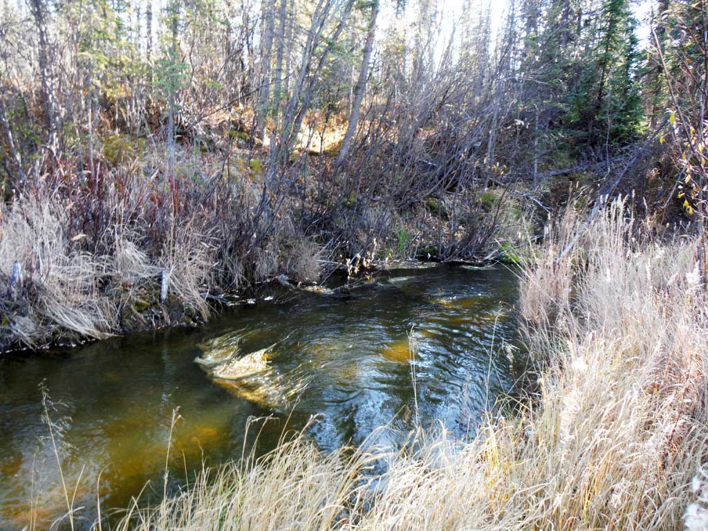
Stream Name: Little Tulsona
Elevation:
Site Comments: None
arrow to the right of the survey date below to choose a different report for this site.
Survey UPDATE-TOK07
Project Supervisor: Gillian O'Doherty, ADFG
Observers: Andrew Kastning
Overall Fish Passage Rating:
Tidal: No
Backwatered: No
Step Pools: No
Construction Year:
Site Observations:
- Outfall height gray
- Culvert gradient gray
- Beaver Activity
- Inlet perch
Comments: This assessment was conducted by the Copper River Watershed Project.
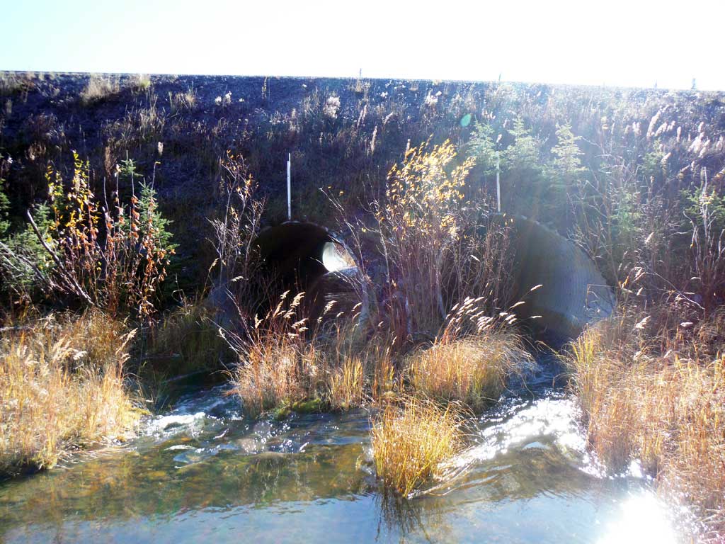
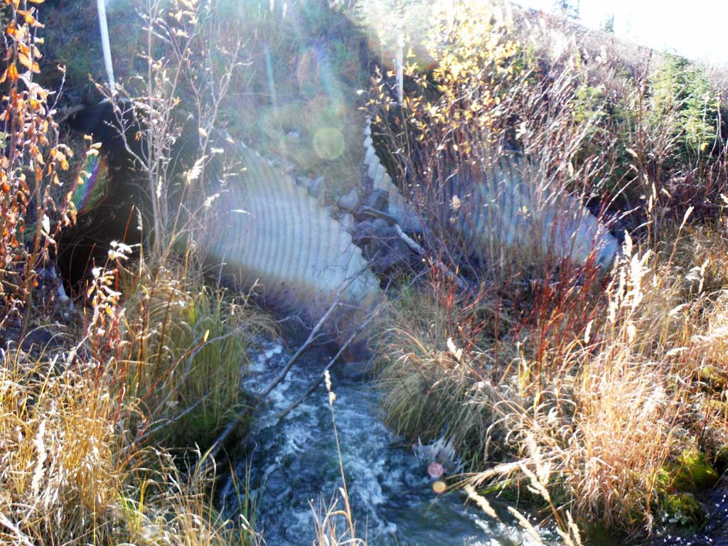
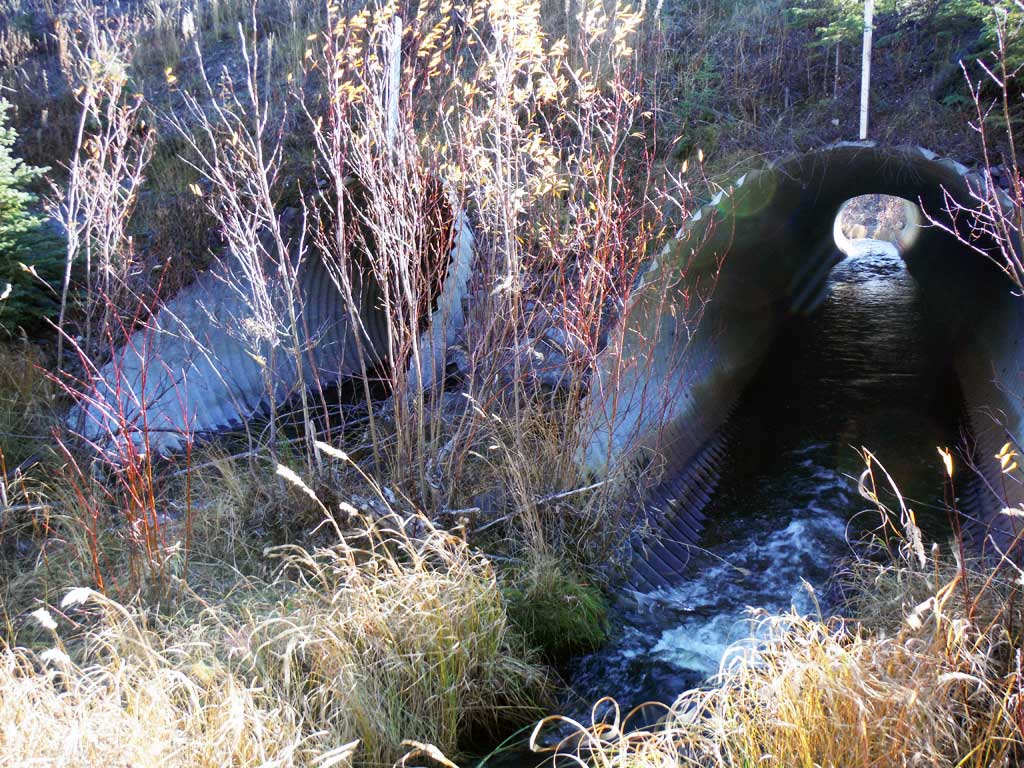
Culvert Measurements
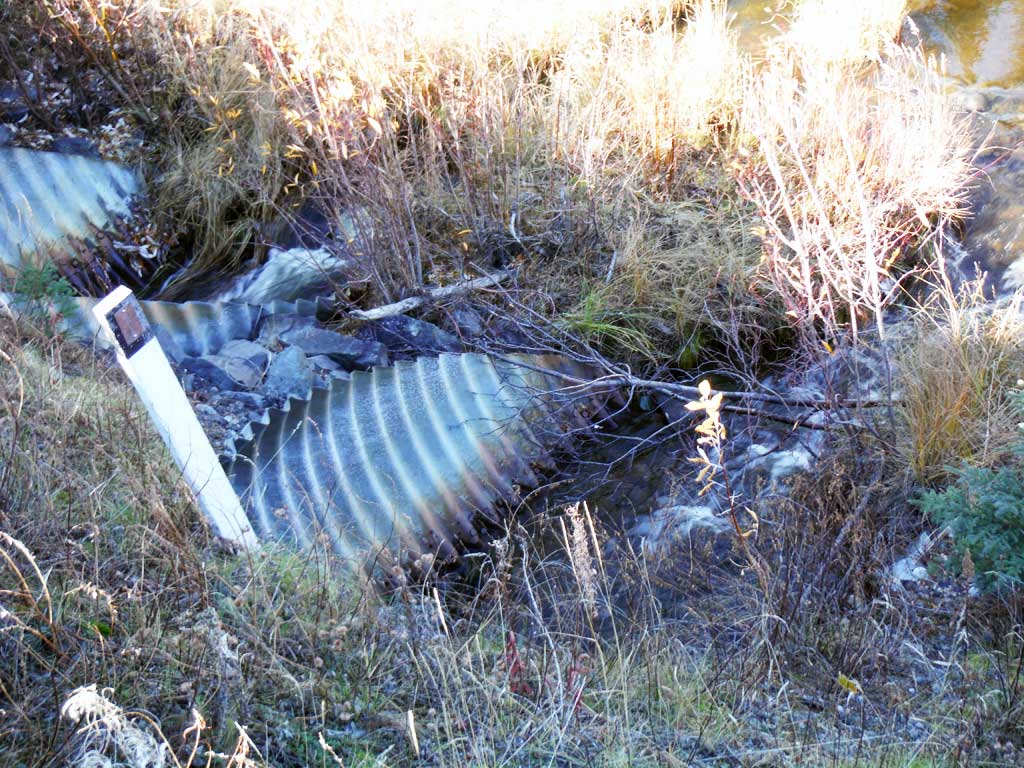
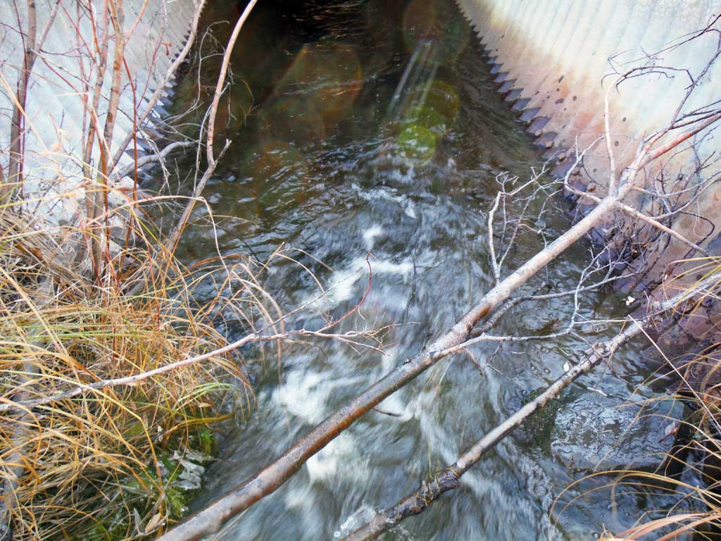
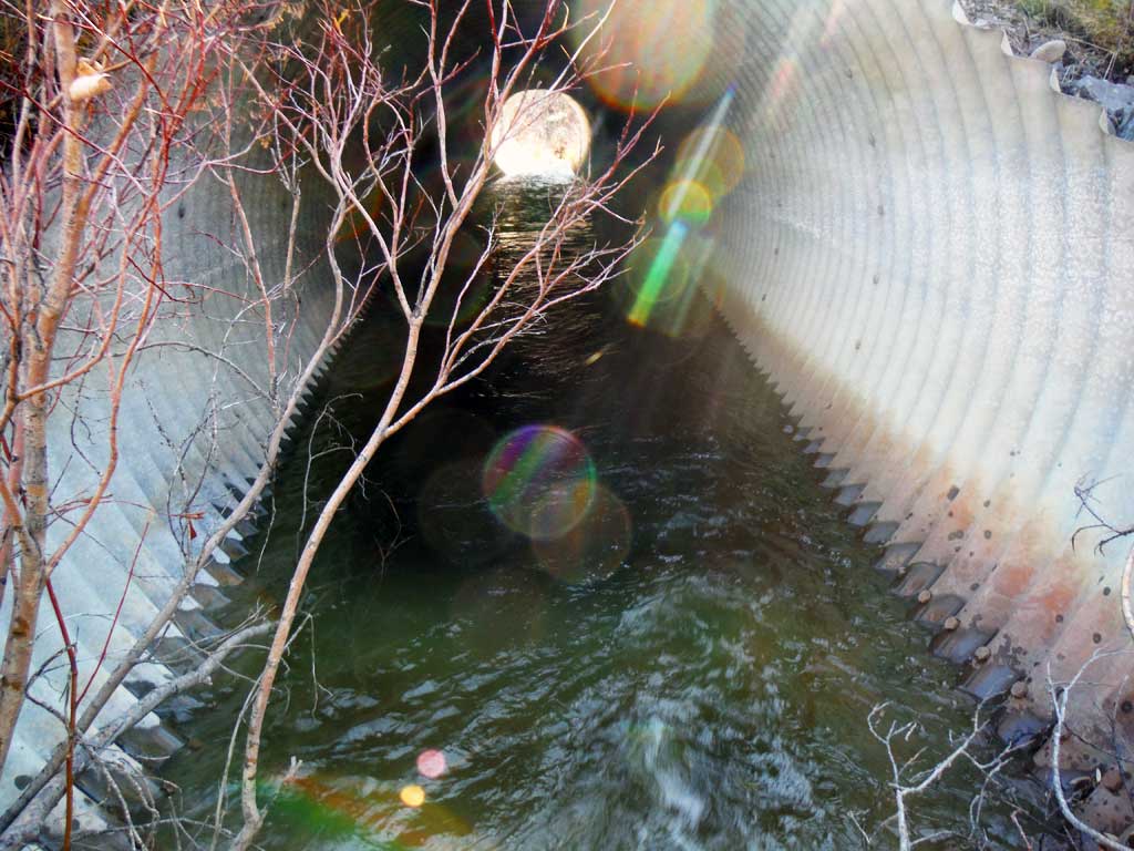
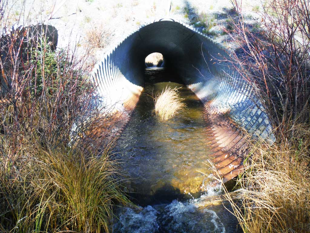
| ID: 1 | Structure Type: Circular pipe (Structural steel plate) | Fish Passage Rating: | |||||||||||||||||||||||||||||||||||||||||
|
|
|
|||||||||||||||||||||||||||||||||||||||||
Culvert Observations:
|
|||||||||||||||||||||||||||||||||||||||||||
| ID: 2 | Structure Type: Circular pipe (Structural steel plate) | Fish Passage Rating: | |||||||||||||||||||||||||||||||||||||||||
|
|
|
|||||||||||||||||||||||||||||||||||||||||
Culvert Observations:
|
|||||||||||||||||||||||||||||||||||||||||||
Stream Measurements
|
|
| Stream Width Type | Distance From Crossing (ft) |
Stream Width (ft) |
|---|---|---|
| Downstream ordinary high water | 8.10 | |
| Downstream ordinary high water | 9.20 | |
| Downstream ordinary high water | 7.20 | |
| Upstream ordinary high water | 6.90 | |
| Upstream ordinary high water | 8.40 | |
| Upstream ordinary high water | 7.80 |
Elevations
| Locator ID | Culvert Number |
River Distance (ft)1 |
Distance From Crossing (ft)2 |
Relative Elevation (ft) |
|---|---|---|---|---|
| Outlet Culvert Top | 2 | 100.09 | ||
| Inlet Culvert Top | 1 | 100.11 | ||
| Outlet Culvert Top | 1 | 100.18 | ||
| Inlet Culvert Top | 2 | 100.21 | ||
| Road Elev | 109.76 | |||
| D/S Grade Ctrl (Thalweg) | 0.00 | 90.02 | ||
| D/S Water Surface Elev | 0.00 | 90.82 | ||
| D/S Thalweg (top of gravel bar, at end of pool) | 38.00 | 90.66 | ||
| D/S Water Surface Elev | 38.00 | 91.02 | ||
| Outlet Pool Water Elev | 2 | 48.00 | 91.03 | |
| Max Pool Depth | 2 | 48.00 | 88.51 | |
| Max Pool Depth | 1 | 48.00 | 88.95 | |
| Outlet Pool Water Elev | 1 | 48.00 | 91.00 | |
| D/S Thalweg (outlet riffle) | 2 | 67.00 | 91.36 | |
| D/S Water Surface Elev | 2 | 67.00 | 92.46 | |
| D/S Thalweg (outlet riffle) | 2 | 69.00 | 91.17 | |
| D/S Water Surface Elev | 2 | 69.00 | 92.22 | |
| Outlet Invert | 2 | 73.00 | 91.64 | |
| Outlet Invert | 1 | 73.00 | 91.99 | |
| D/S Water Surface Elev | 1 | 73.00 | 92.49 | |
| D/S Water Surface Elev | 2 | 73.00 | 92.49 | |
| Inlet Culvert Invert | 1 | 183.80 | 92.76 | |
| Inlet Culvert Invert | 2 | 183.80 | 92.83 | |
| U/S Water Surface Elev | 1 | 183.80 | 93.71 | |
| U/S Water Surface Elev | 2 | 183.80 | 93.68 | |
| U/S Grade Ctrl (Thalweg) | 1 | 195.80 | 93.70 | |
| U/S Water Surface Elev | 1 | 195.80 | 94.16 | |
| U/S Water Surface Elev | 2 | 195.80 | 94.26 | |
| U/S Grade Ctrl (Thalweg) | 2 | 195.80 | 93.51 | |
| U/S Water Surface Elev | 224.80 | 94.29 | ||
| U/S Grade Ctrl (Thalweg) | 224.80 | 91.24 | ||
| U/S Grade Ctrl (Thalweg) | 256.80 | 90.69 | ||
| U/S Water Surface Elev | 256.80 | 94.35 | ||
| U/S Water Surface Elev | 268.80 | 94.35 | ||
| U/S Grade Ctrl (Thalweg) | 268.80 | 93.20 | ||
| U/S Grade Ctrl (Thalweg) | 283.80 | 91.43 | ||
| U/S Water Surface Elev | 283.80 | 94.37 |
Notes:
- River distance is measured continuously throughout the survey reach along the thalweg of the stream.
- Measured from each end of the crossing along the thalweg of the stream.
Fish Sampling Efforts
| Gear Type: Minnow Trap (A) | Trap Duration(h): 18.0 | |
| Comments: 2 traps set upstream. | ||
| Gear Type: Minnow Trap (B) | Trap Duration(h): 18.0 | |
| Comments: 2 Traps set downstream, no fish caught. | ||
| Gear Type: Visual Observation, Ground (C) | ||
Fish Observations
| Species: Dolly Varden | Life History: | ||
| Total Fish Observed: 1 | Fish Measured: | Fork Lengths (mm) Min: Max: Mean: | |
| Collected/Observed by Gear Type: At Site Visual Observation, Ground (1) | |||
| Species: Arctic grayling | Life History: | ||
| Total Fish Observed: 2 | Fish Measured: 2 | Fork Lengths (mm) Min: 80 Max: 90 Mean: 85 | |
| Collected/Observed by Gear Type: Upstream Minnow Trap (2) | |||
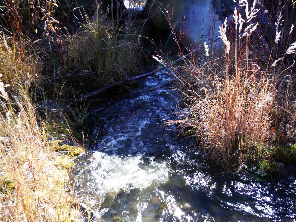
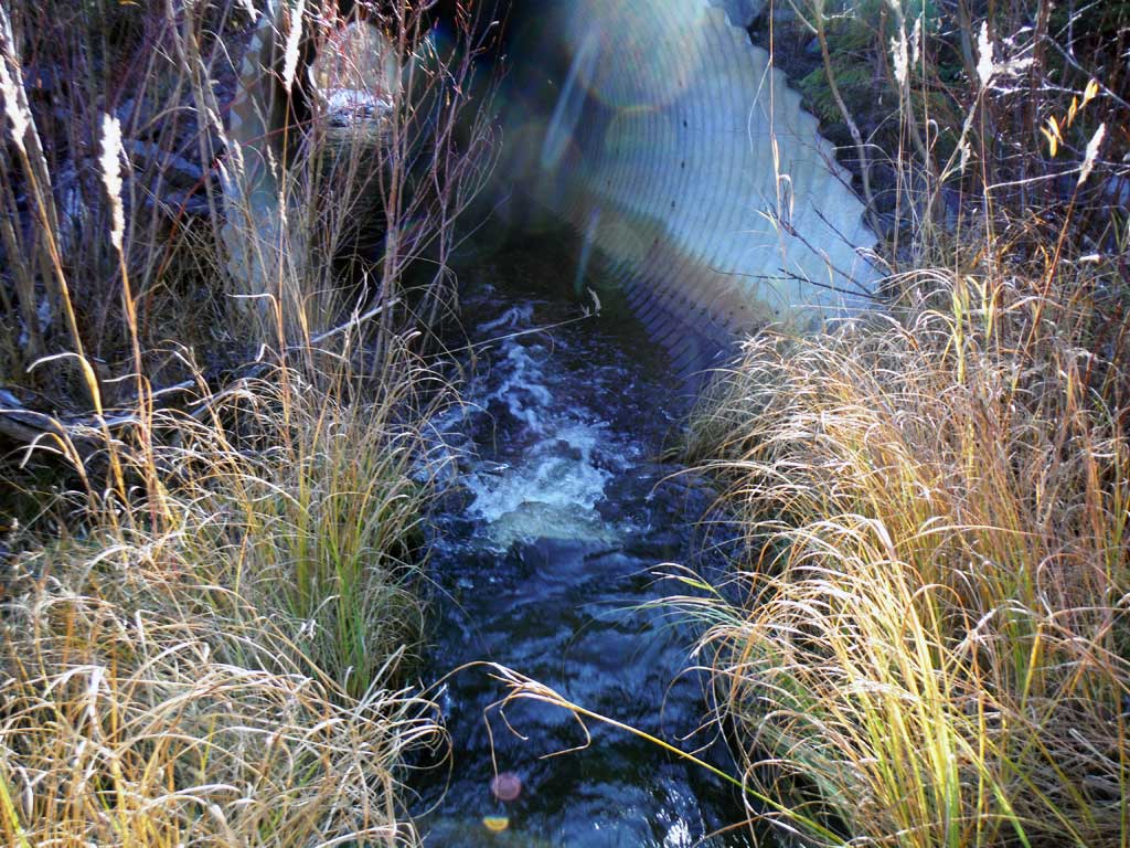
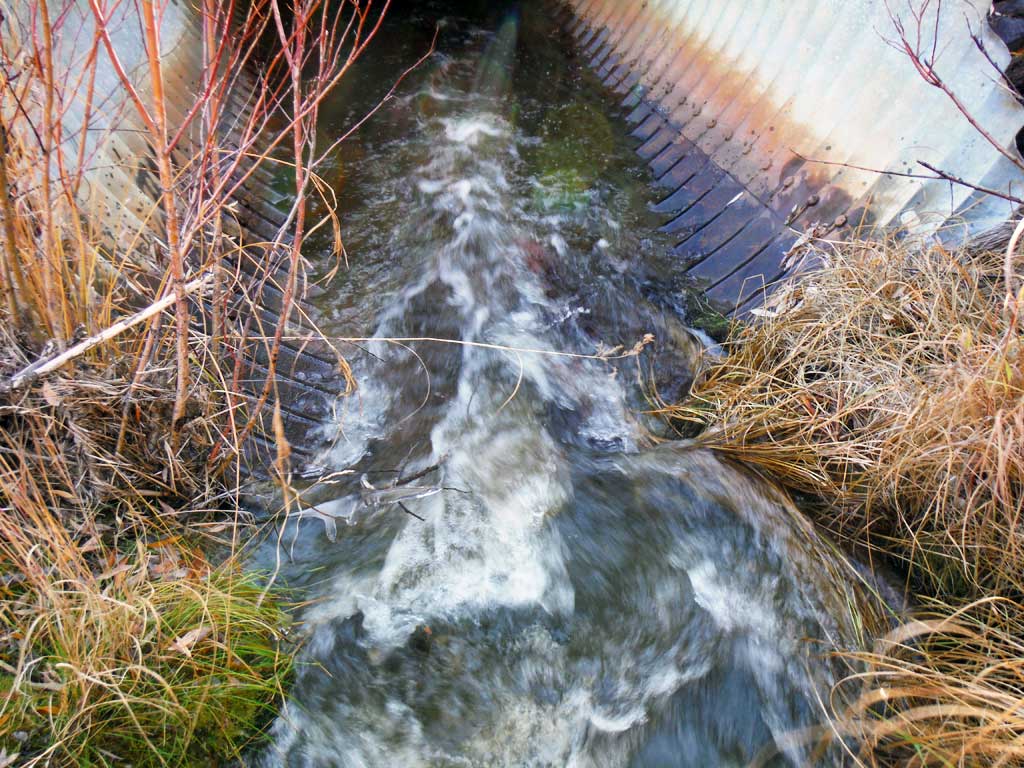
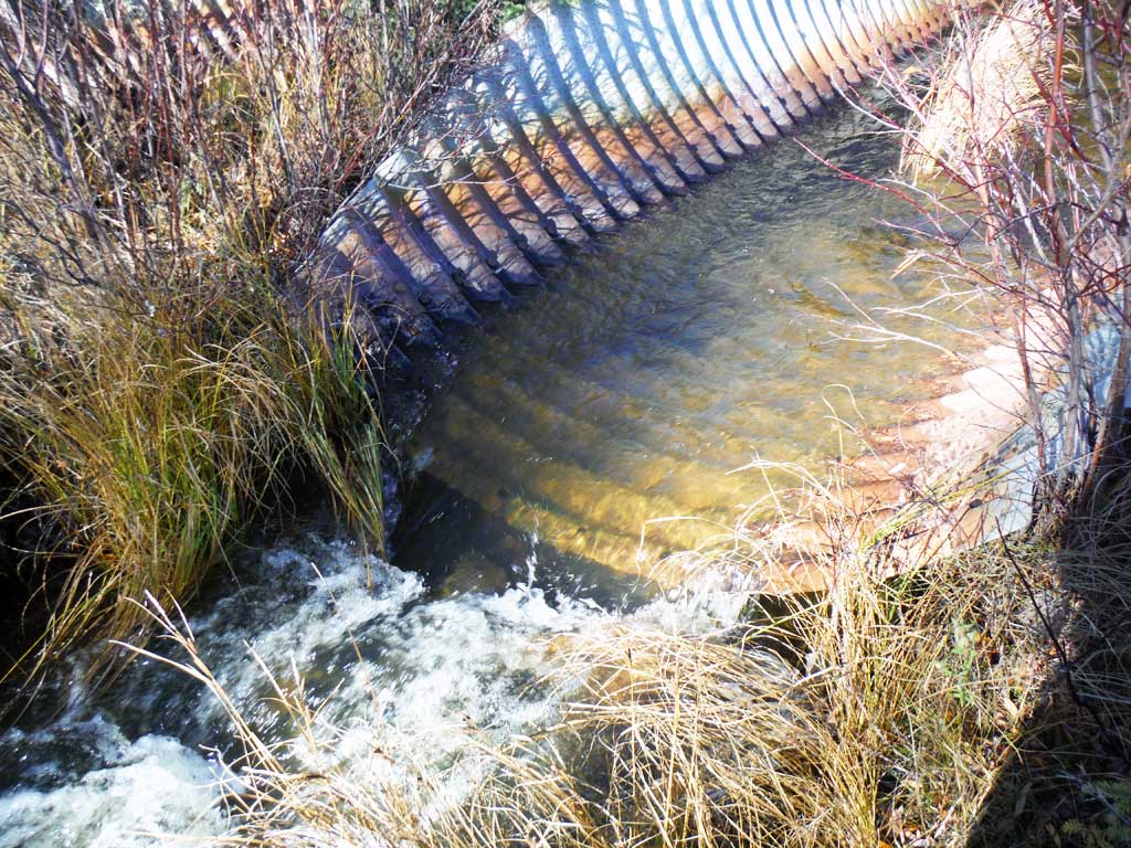
Photos


Questions or comments about this report can be directed to dfg.dsf.webmaster@alaska.gov