Fish Passage Site 20100773
Coordinates (dec. deg.): 62.46309°, -144.86108°
Legal Description: C008N003E21
Region: South Central
Road Name: Tok Cut-Off
Datum: NAD83
Quad Name / ITM: Gulkana B-2
AWC Stream #:
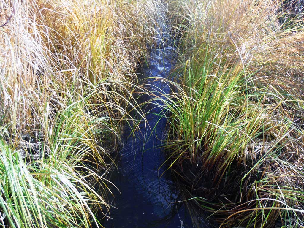
Stream Name: Unnamed
Elevation:
Site Comments: None
arrow to the right of the survey date below to choose a different report for this site.
Survey UPDATE-TOK6
Project Supervisor: Gillian O'Doherty, ADFG
Observers: Andrew Kastning
Overall Fish Passage Rating:
Tidal: No
Backwatered: No
Step Pools: No
Construction Year:
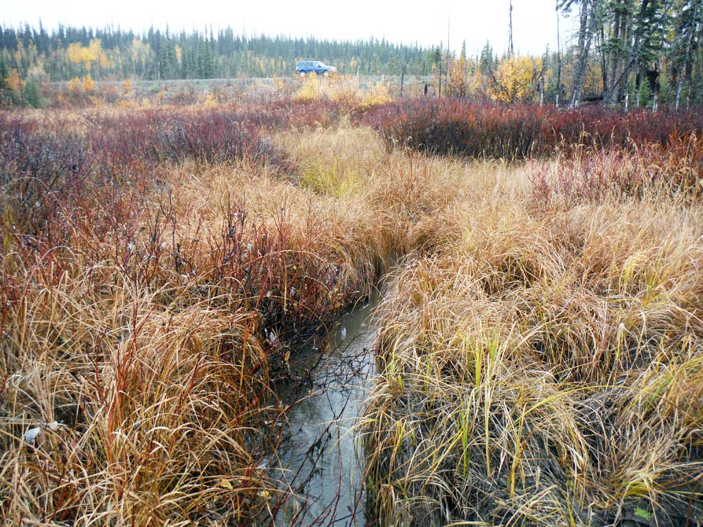
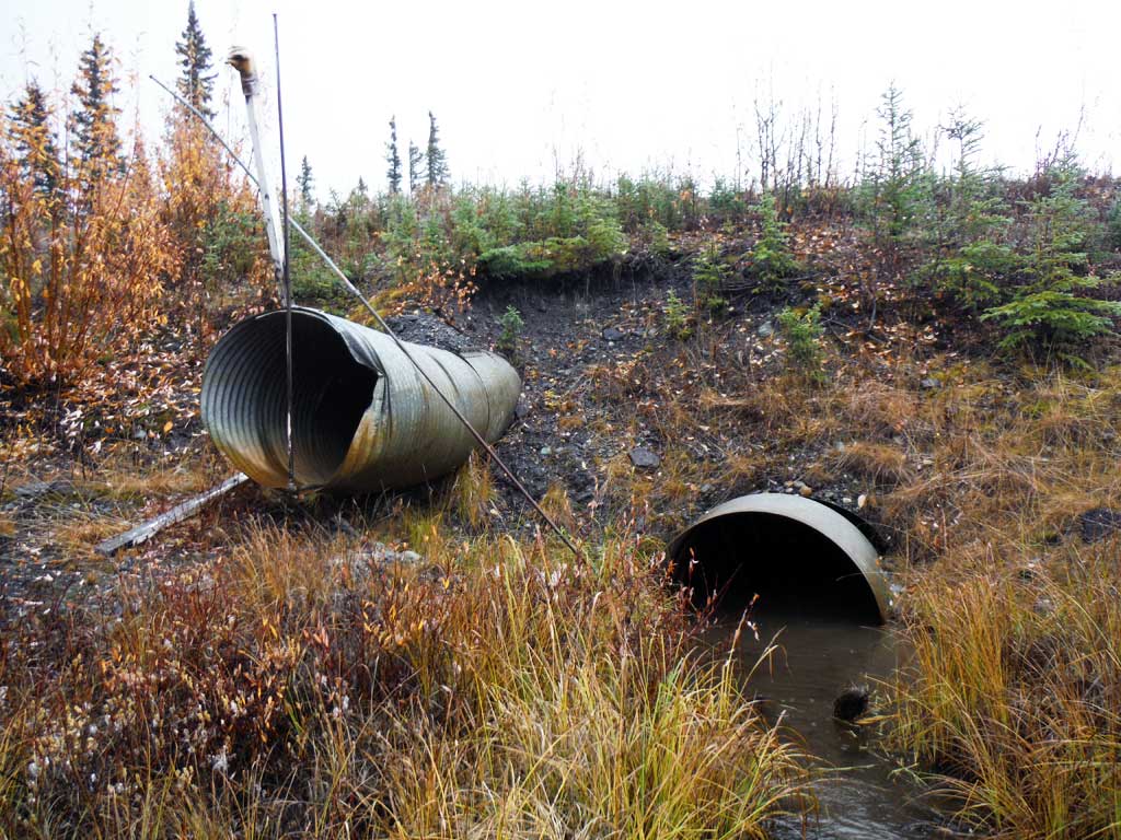
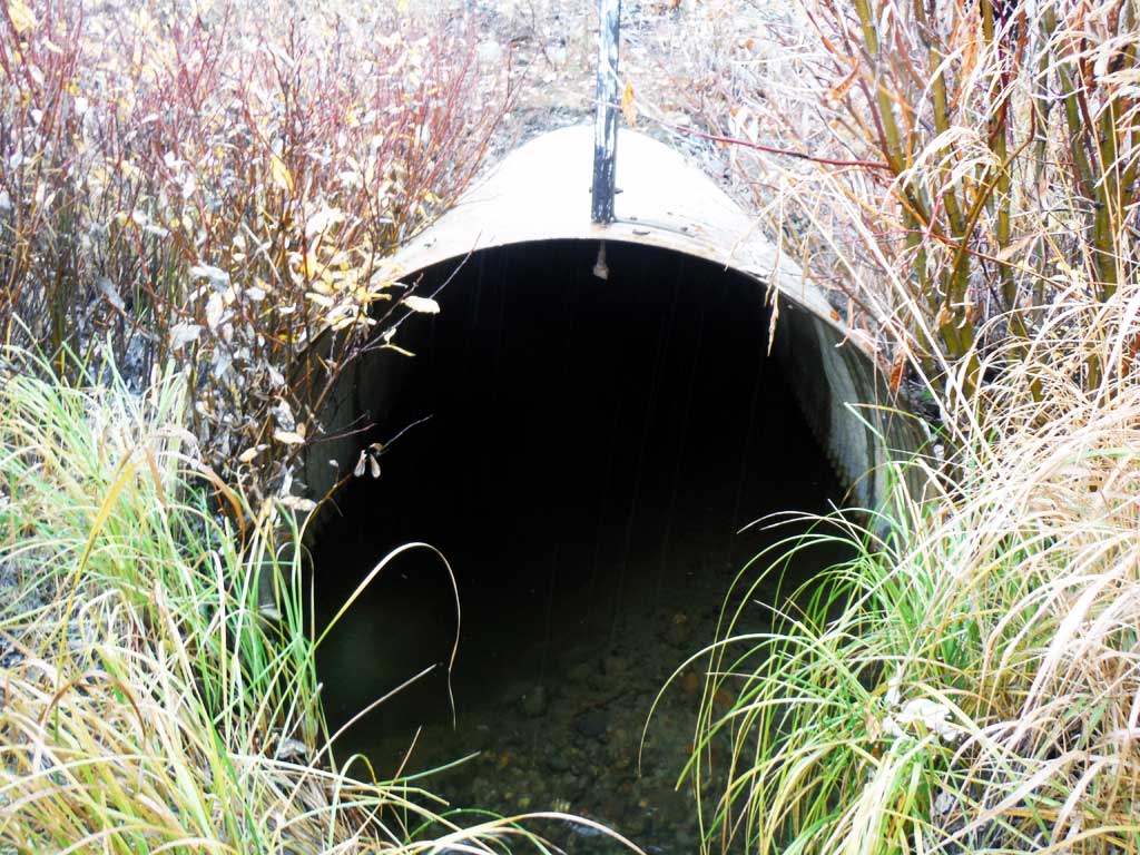
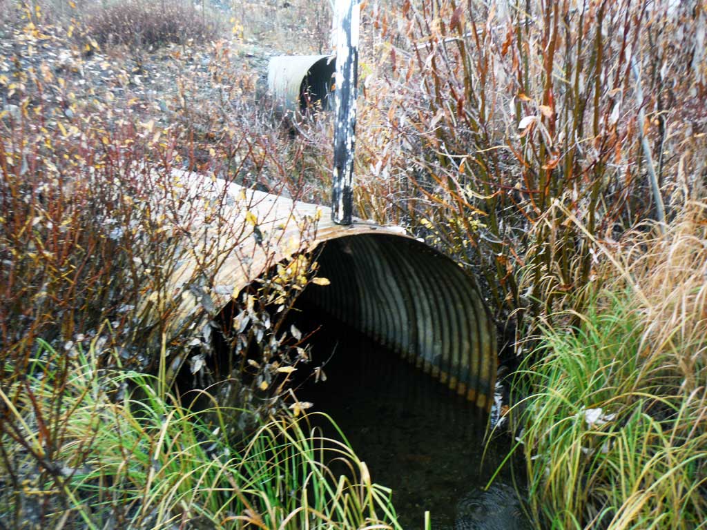
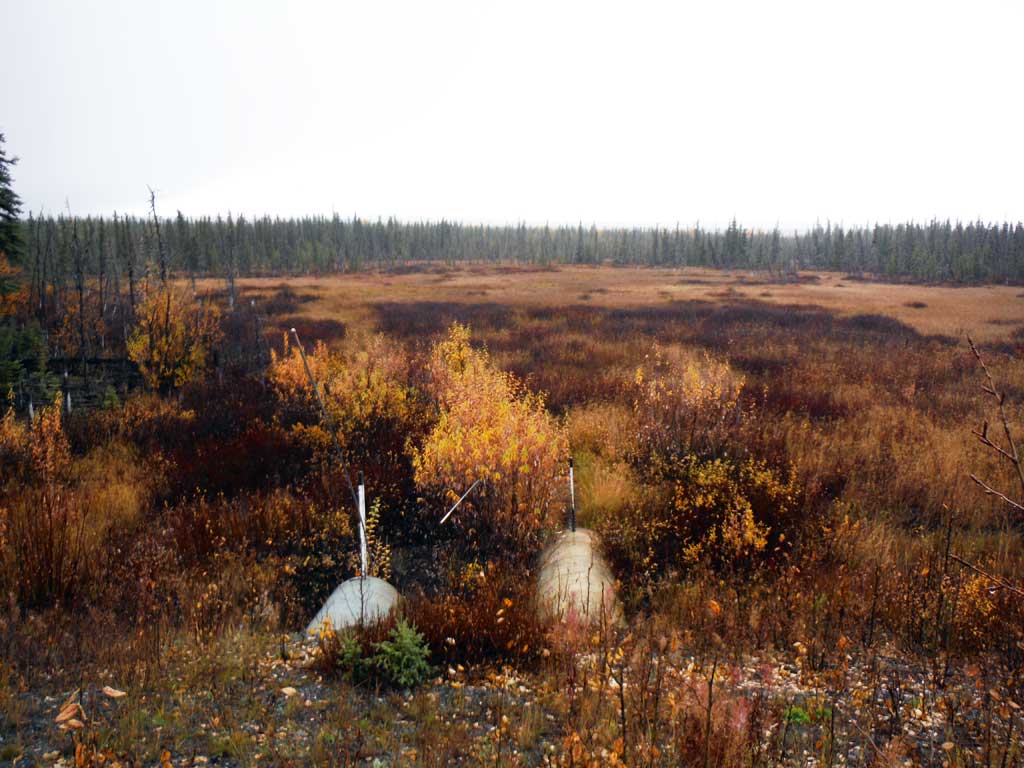
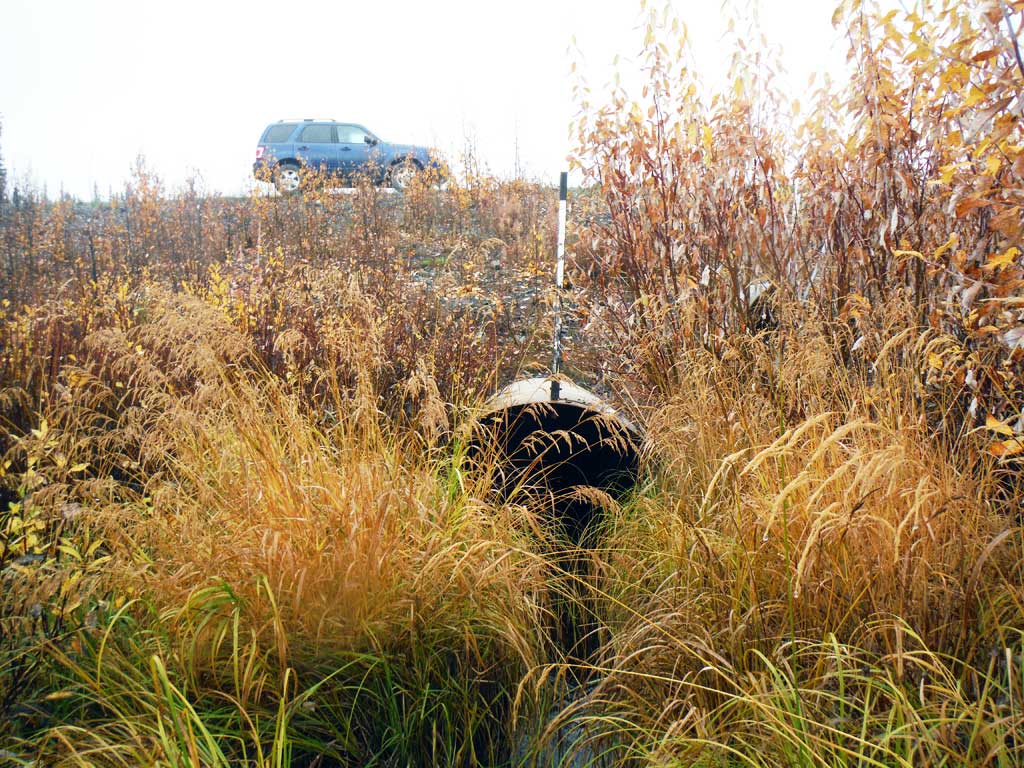
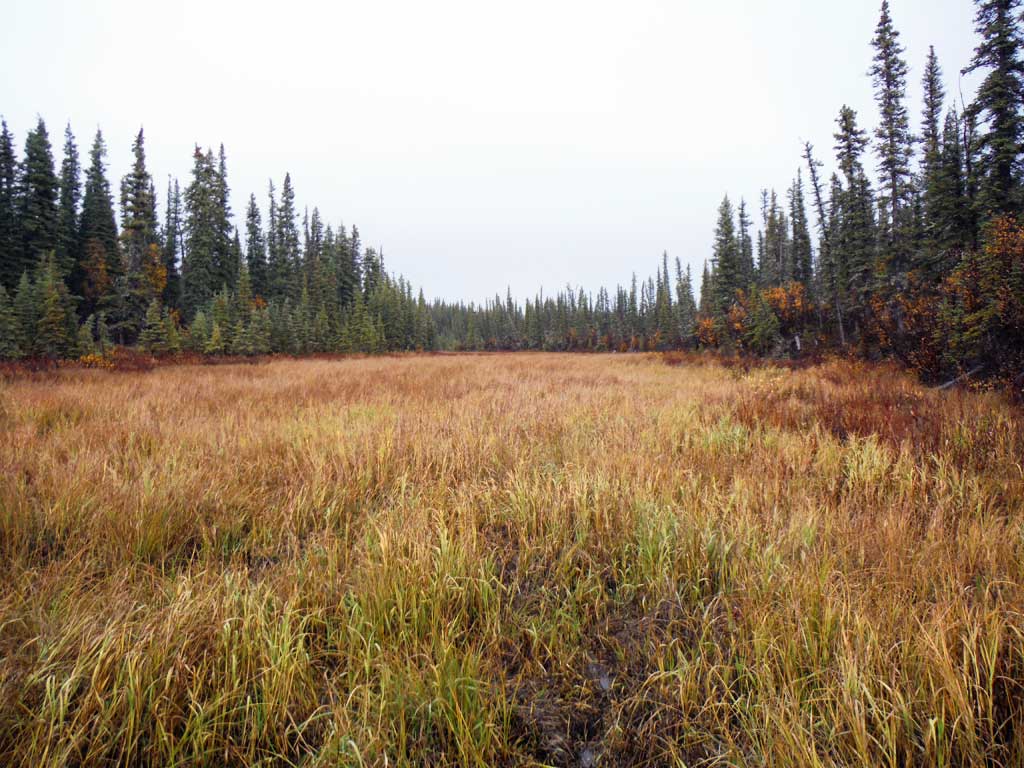
Comments: Survey and Photos CRWP. Upstream channel sprawls into wetland area about 100 feet upstream from crossing
Culvert Measurements
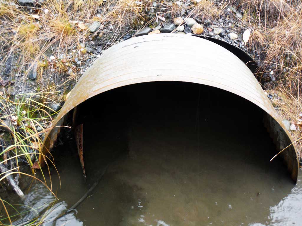
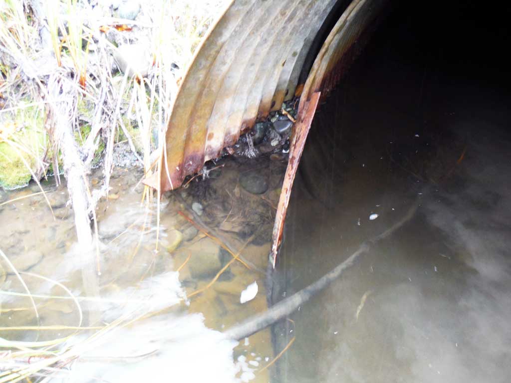
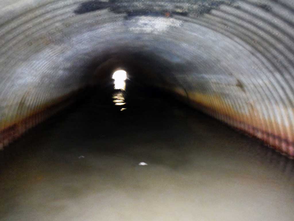
| ID: 1 | Structure Type: Circular pipe (Corrugated steel) | Fish Passage Rating: | |||||||||||||||||||||||||||||||||||||||||
|
|
|
|||||||||||||||||||||||||||||||||||||||||
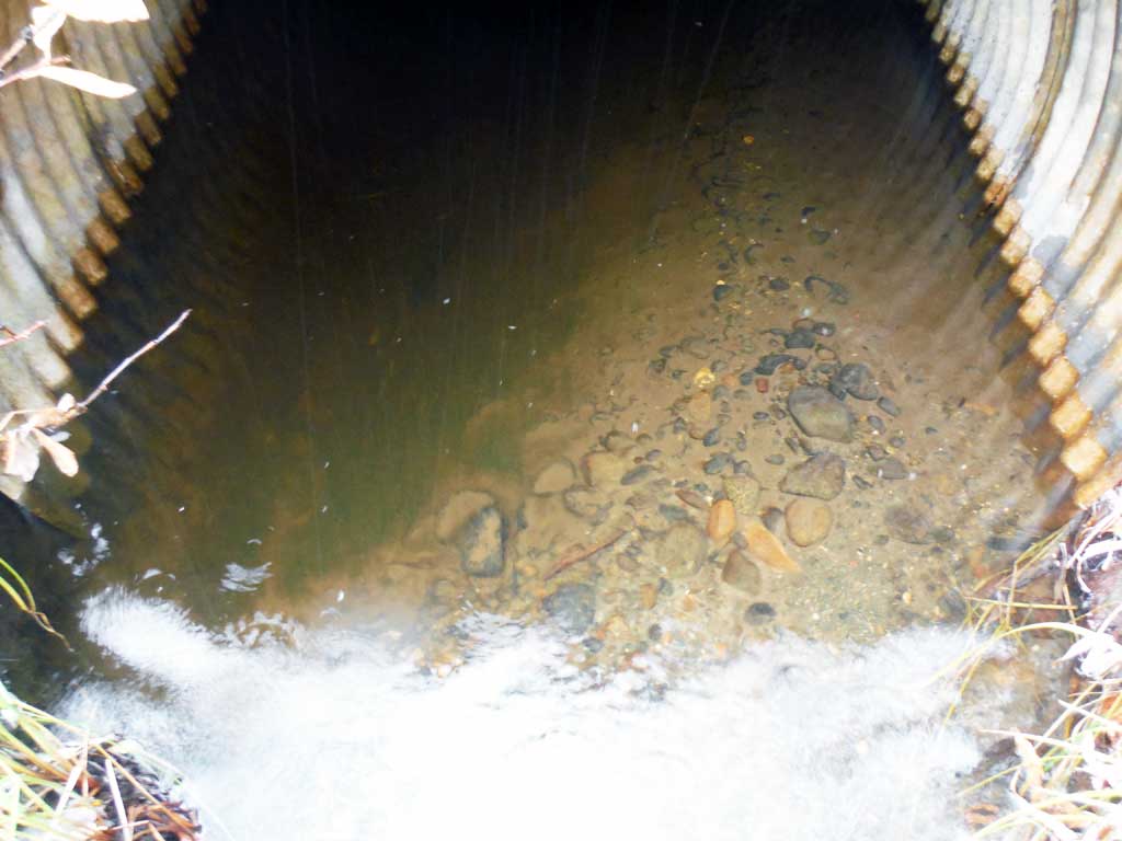
Comments: Culvert appears to have been repaired but not replaced since 2002 survey. Uneven substrate at outlet. |
|||||||||||||||||||||||||||||||||||||||||||
Stream Measurements
|
|
| Stream Width Type | Distance From Crossing (ft) |
Stream Width (ft) |
|---|---|---|
| Downstream ordinary high water | 2.50 | |
| Downstream ordinary high water | 1.80 | |
| Downstream ordinary high water | 2.70 |
Elevations
| Locator ID | Culvert Number |
River Distance (ft)1 |
Distance From Crossing (ft)2 |
Relative Elevation (ft) |
|---|---|---|---|---|
| Road Elev | 100.00 | |||
| D/S Grade Ctrl (Thalweg) | 0.00 | 84.01 | ||
| D/S Water Surface Elev | 0.00 | 84.58 | ||
| D/S Grade Ctrl (Thalweg) | 30.00 | 84.86 | ||
| D/S Water Surface Elev | 30.00 | 85.36 | ||
| D/S Water Surface Elev | 34.00 | 85.36 | ||
| Outlet Invert (Invert on left side, uneven sediment) | 34.00 | 85.05 | ||
| Outlet Invert (Invert on right side, uneven sediment) | 34.00 | 84.51 | ||
| Outlet Culvert Top | 34.00 | 88.44 | ||
| Inlet Culvert Invert | 149.50 | 84.49 | ||
| Inlet Culvert Top | 149.50 | 88.11 | ||
| U/S Water Surface Elev | 149.50 | 85.81 | ||
| U/S Grade Ctrl (Thalweg) | 163.50 | 85.54 | ||
| U/S Water Surface Elev | 163.50 | 85.90 | ||
| U/S Water Surface Elev | 181.50 | 85.85 | ||
| U/S Grade Ctrl (Thalweg) | 181.50 | 83.66 | ||
| U/S Grade Ctrl (Thalweg) | 249.50 | 85.31 | ||
| U/S Water Surface Elev | 249.50 | 86.01 |
Notes:
- River distance is measured continuously throughout the survey reach along the thalweg of the stream.
- Measured from each end of the crossing along the thalweg of the stream.
Fish Sampling Efforts
| Gear Type: Visual Observation, Ground (A) | ||
| Comments: Sticklebacks visually observed at site | ||
Fish Observations
| Species: stickleback-unspecified | Life History: | ||
| Total Fish Observed: 10 | Fish Measured: | Fork Lengths (mm) Min: Max: Mean: | |
| Collected/Observed by Gear Type: At Site Visual Observation, Ground (10) | |||
| Comments: Sticklebacks visually observed at site | |||
Photos

Questions or comments about this report can be directed to dfg.dsf.webmaster@alaska.gov