Fish Passage Site 20100765
Coordinates (dec. deg.): 62.71638°, -144.24256°
Legal Description: C011N006E23
Region: South Central
Road Name: Tok Cut-Off
Datum: NAD83
Quad Name / ITM: Gulkana C-1
AWC Stream #:
Stream Name: Copper River Tributary, Unnamed
Elevation:
Site Comments: MP 51.5
arrow to the right of the survey date below to choose a different report for this site.
Survey UPDATE-TOK1
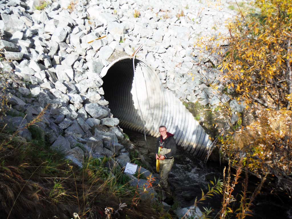
Project Supervisor: Gillian O'Doherty, ADFG
Observers: Andrew Kastning
Overall Fish Passage Rating:
Tidal: No
Backwatered: No
Step Pools: No
Construction Year:
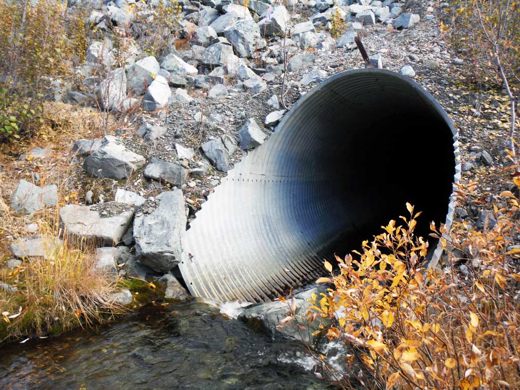
Site Observations:
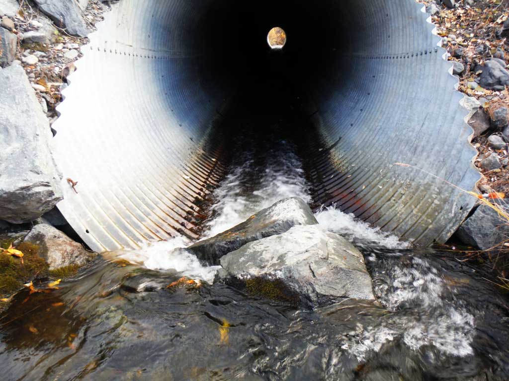
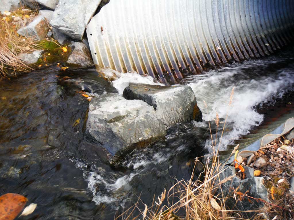
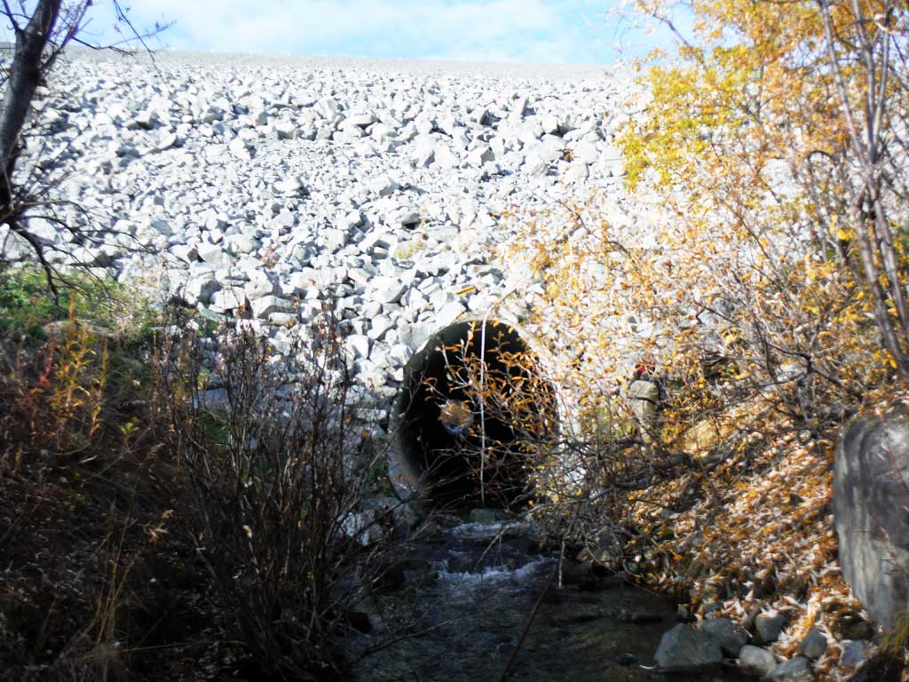
- Inlet perch
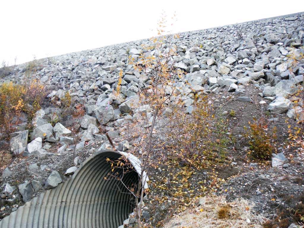
Comments: Assessment conducted by Copper River Watershed Project. Large amount of road fill, did not survey up and over. Upstream and downstream longitudinal profiles are not connected by a common benchmark and should only be used to assess featured above and below the culvert exclusive of each other.
Culvert Measurements
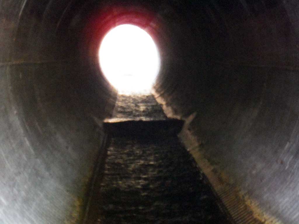
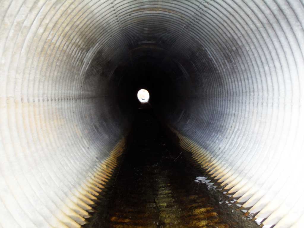
| ID: 1 | Structure Type: Circular pipe (Structural steel plate) | Fish Passage Rating: | |||||||||||||||||||||||||||||||||||||||||
|
|
|
|||||||||||||||||||||||||||||||||||||||||
Culvert Observations:
|
|||||||||||||||||||||||||||||||||||||||||||
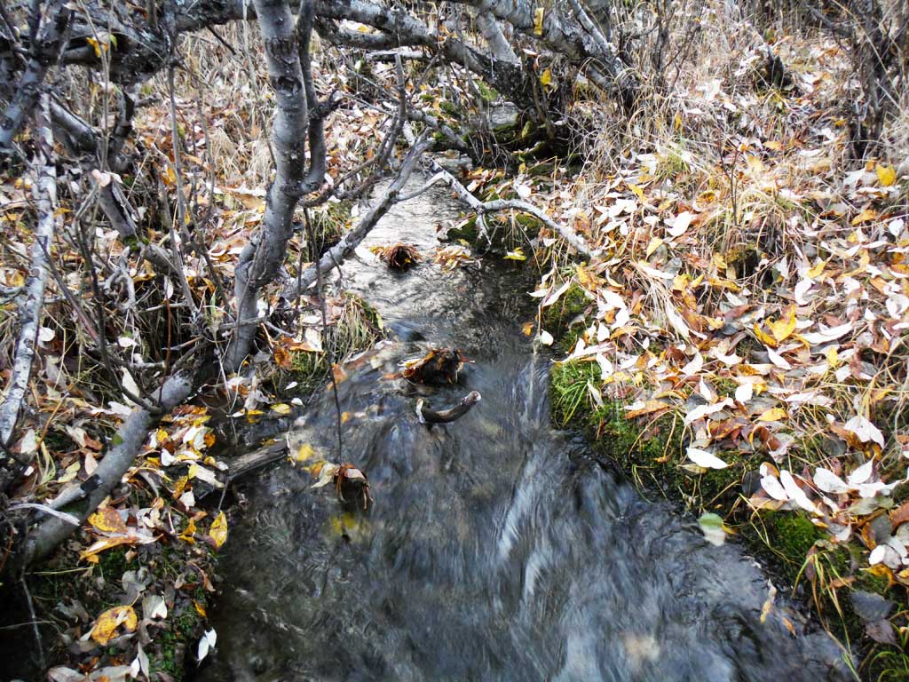
Stream Measurements
|
|
| Stream Width Type | Distance From Crossing (ft) |
Stream Width (ft) |
|---|---|---|
| Downstream ordinary high water | 9.20 | |
| Downstream ordinary high water | 5.60 | |
| Downstream ordinary high water | 8.80 | |
| Upstream ordinary high water | 3.10 | |
| Upstream ordinary high water | 4.40 | |
| Upstream ordinary high water | 2.60 |
Elevations
| Locator ID | Culvert Number |
River Distance (ft)1 |
Distance From Crossing (ft)2 |
Relative Elevation (ft) |
|---|---|---|---|---|
| D/S Grade Ctrl (Thalweg) | 0.00 | 95.12 | ||
| D/S Water Surface Elev | 0.00 | 96.02 | ||
| D/S Grade Ctrl (Thalweg) | 39.00 | 96.49 | ||
| D/S Water Surface Elev | 39.00 | 97.49 | ||
| D/S Tailcrest or 1st Thalweg | 74.00 | 98.36 | ||
| D/S Water Surface Elev | 74.00 | 99.11 | ||
| Outlet Pool Water Elev | 79.00 | 99.15 | ||
| Max Pool Depth | 79.00 | 98.31 | ||
| Outlet Culvert Top | 83.40 | 109.44 | ||
| D/S Water Surface Elev | 83.40 | 99.25 | ||
| Outlet Invert (Downstream survey not related to upstream section!!) | 83.40 | 98.40 | ||
| Inlet Culvert Top | 322.00 | 105.59 | ||
| U/S Water Surface Elev | 322.00 | 96.96 | ||
| Inlet Culvert Invert | 322.00 | 96.12 | ||
| U/S Water Surface Elev | 336.00 | 97.38 | ||
| U/S Grade Ctrl (Thalweg) | 336.00 | 96.53 | ||
| U/S Grade Ctrl (Thalweg) | 363.00 | 96.54 | ||
| U/S Water Surface Elev | 363.00 | 97.53 | ||
| U/S Water Surface Elev | 398.00 | 97.57 | ||
| U/S Grade Ctrl (Thalweg) (Upstream survey not related to downstream survey!) | 398.00 | 95.85 |
Notes:
- River distance is measured continuously throughout the survey reach along the thalweg of the stream.
- Measured from each end of the crossing along the thalweg of the stream.
Fish Sampling Efforts
| Gear Type: Minnow Trap (A) | Trap Duration(h): 18.0 | |
| Comments: 2 traps set upstream, no fish caught or observed. | ||
| Gear Type: Minnow Trap (B) | Trap Duration(h): 18.0 | |
| Comments: 2 traps set downstream. No fish caught or observed. | ||
Fish Observations
No fish observations occurred during this survey.
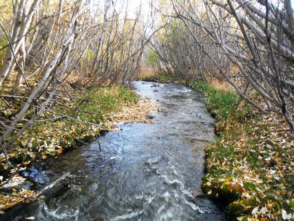
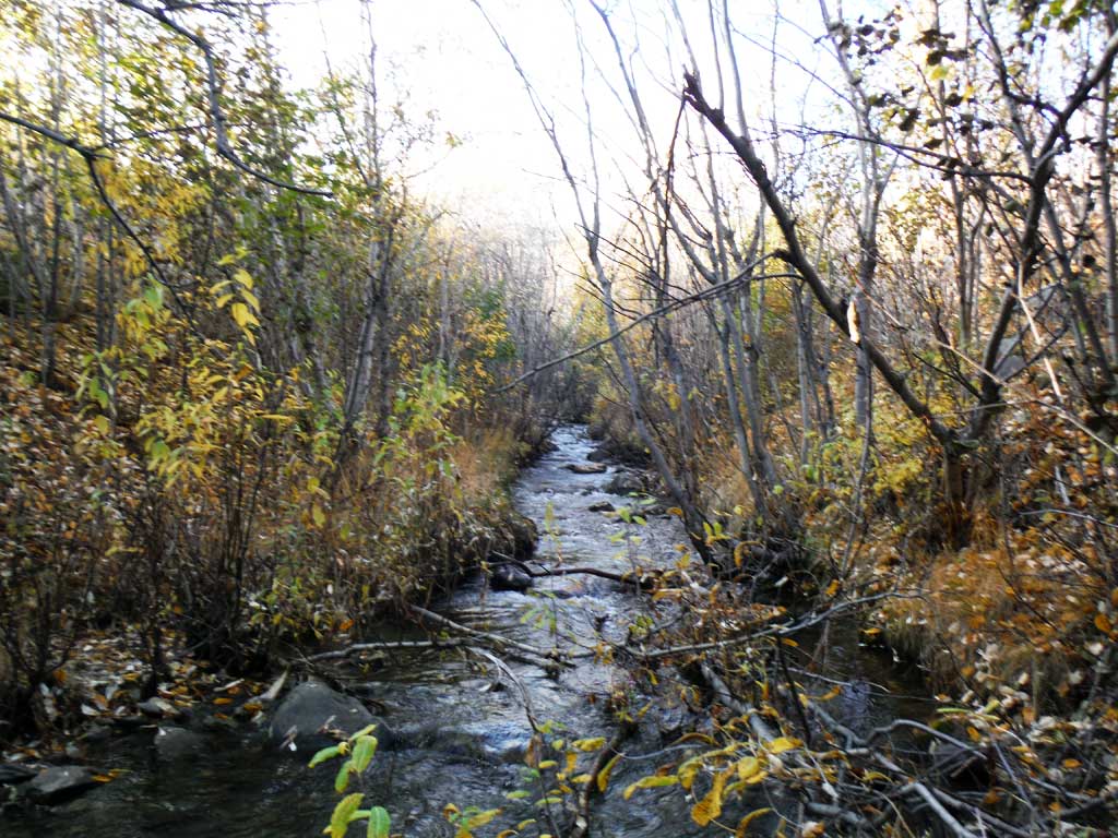
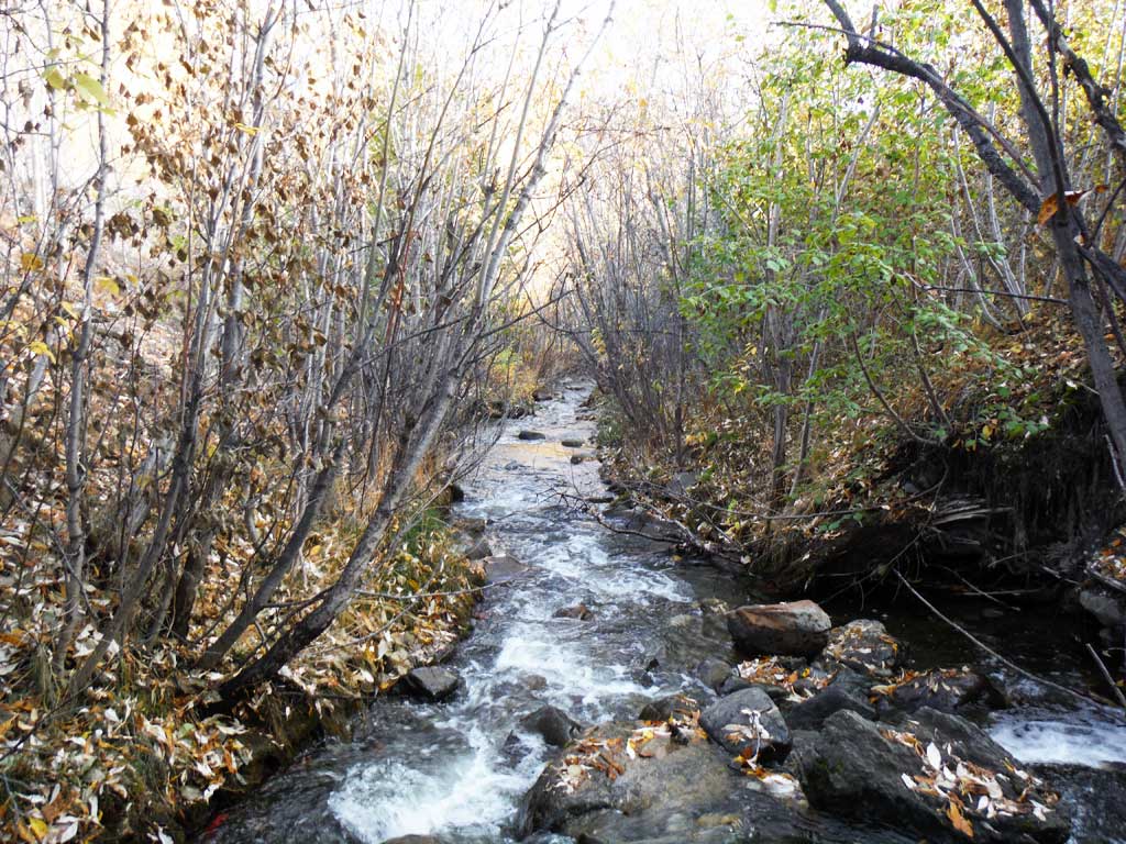
Photos


Questions or comments about this report can be directed to dfg.dsf.webmaster@alaska.gov