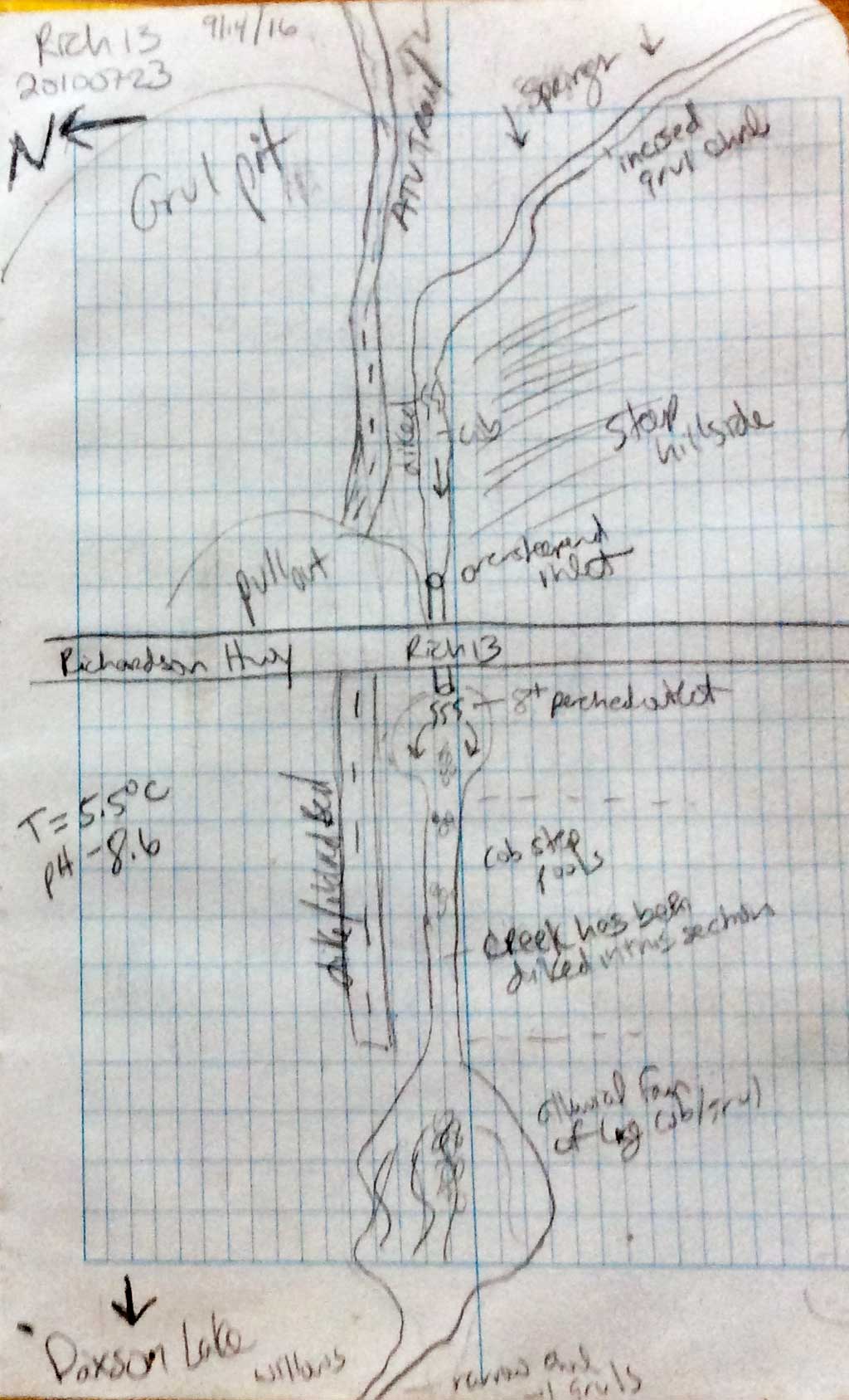
Fish Passage Site 20100723
Coordinates (dec. deg.): 62.93774°, -145.51118°
Legal Description: C013N002W01
Region: South Central
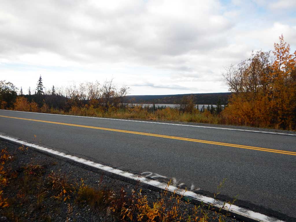
Road Name: Richardson Highway
Datum: NAD83
Quad Name / ITM: Gulkana D-4
AWC Stream #:
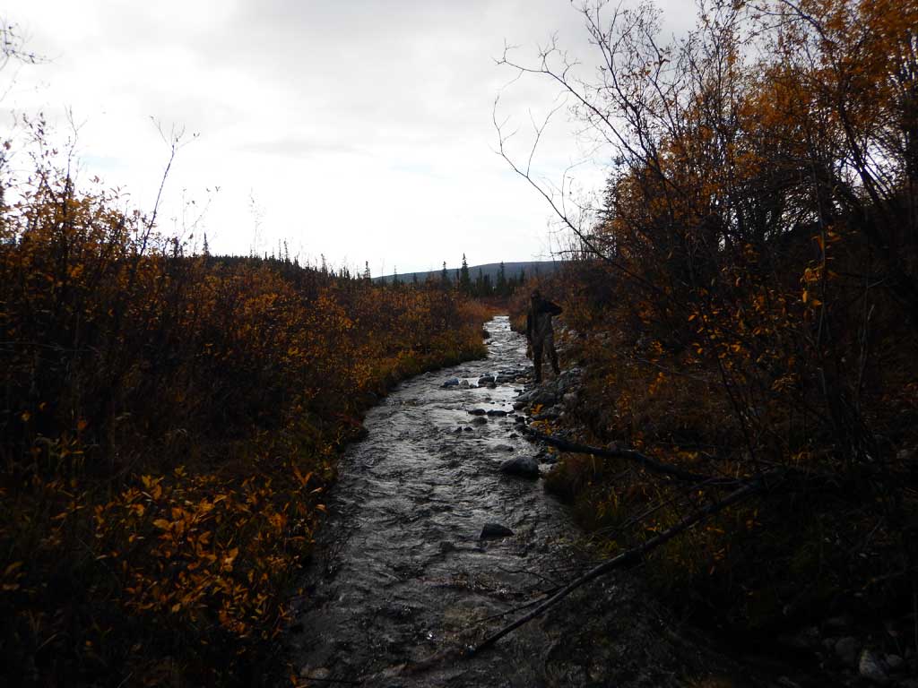
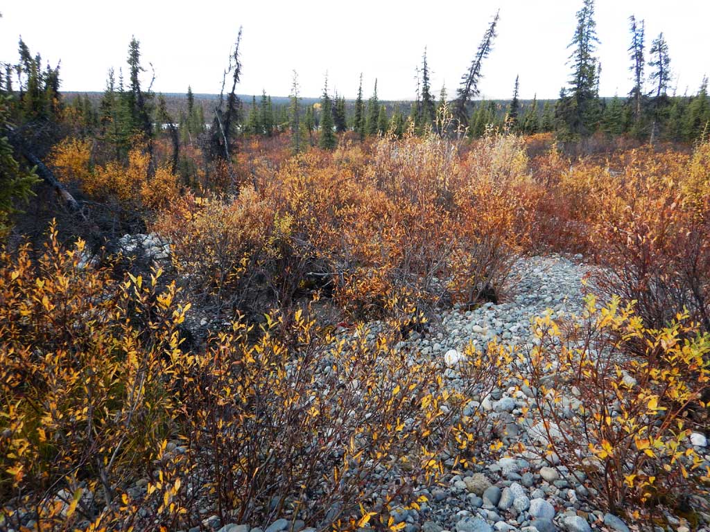
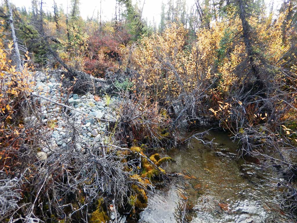
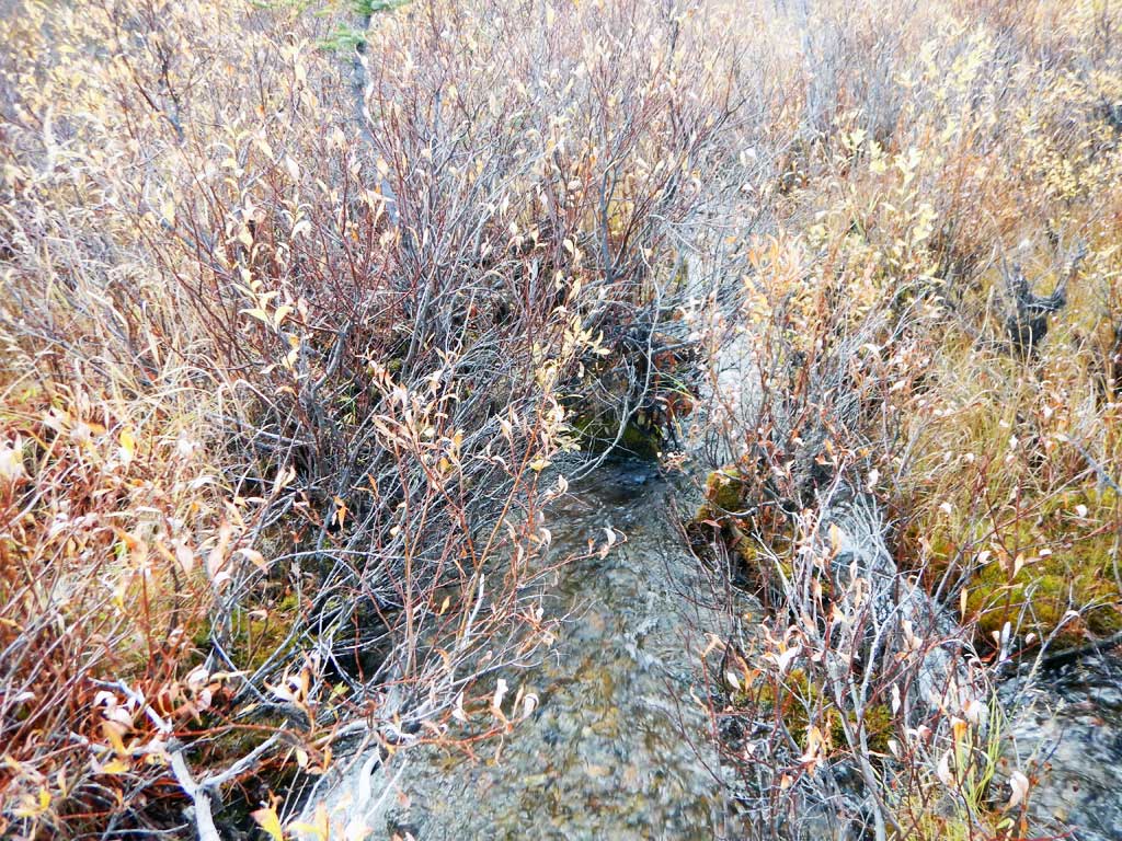
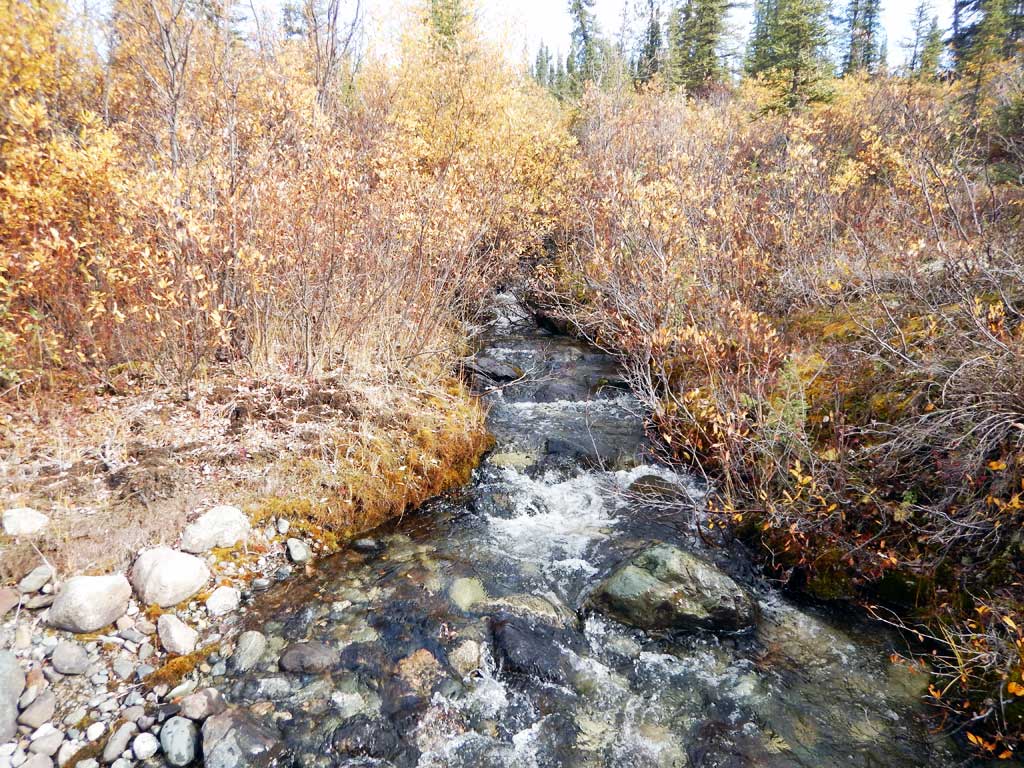
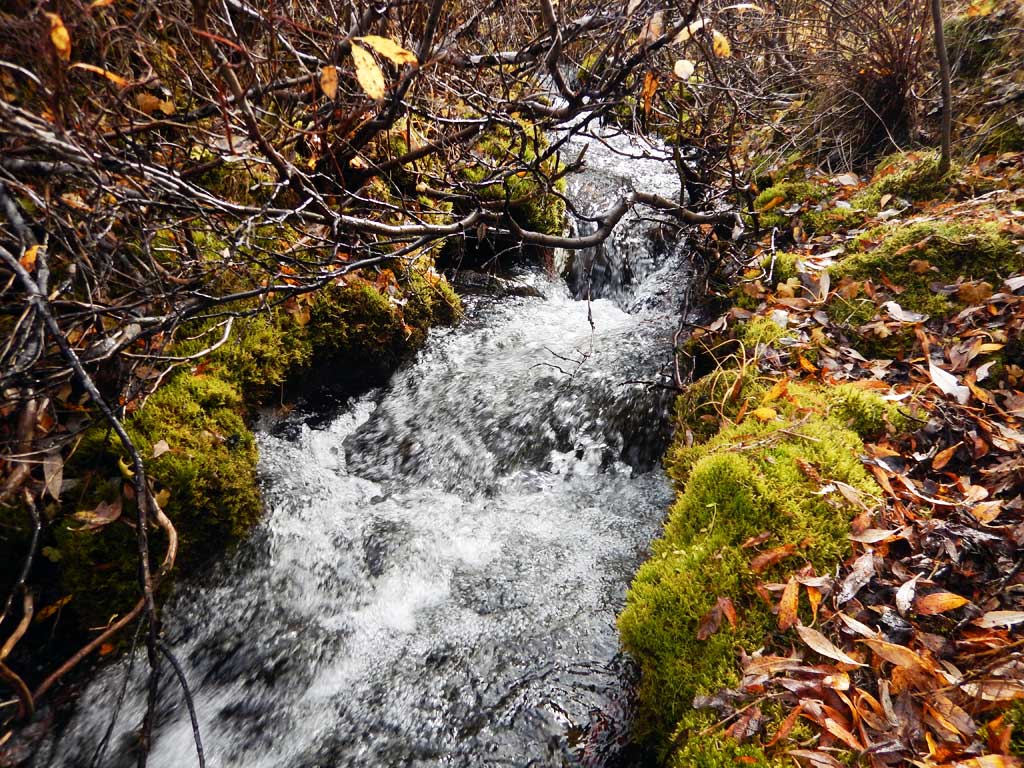
Stream Name: Hufman Creek
Elevation:
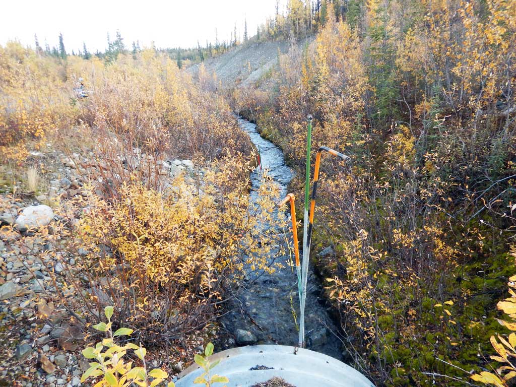
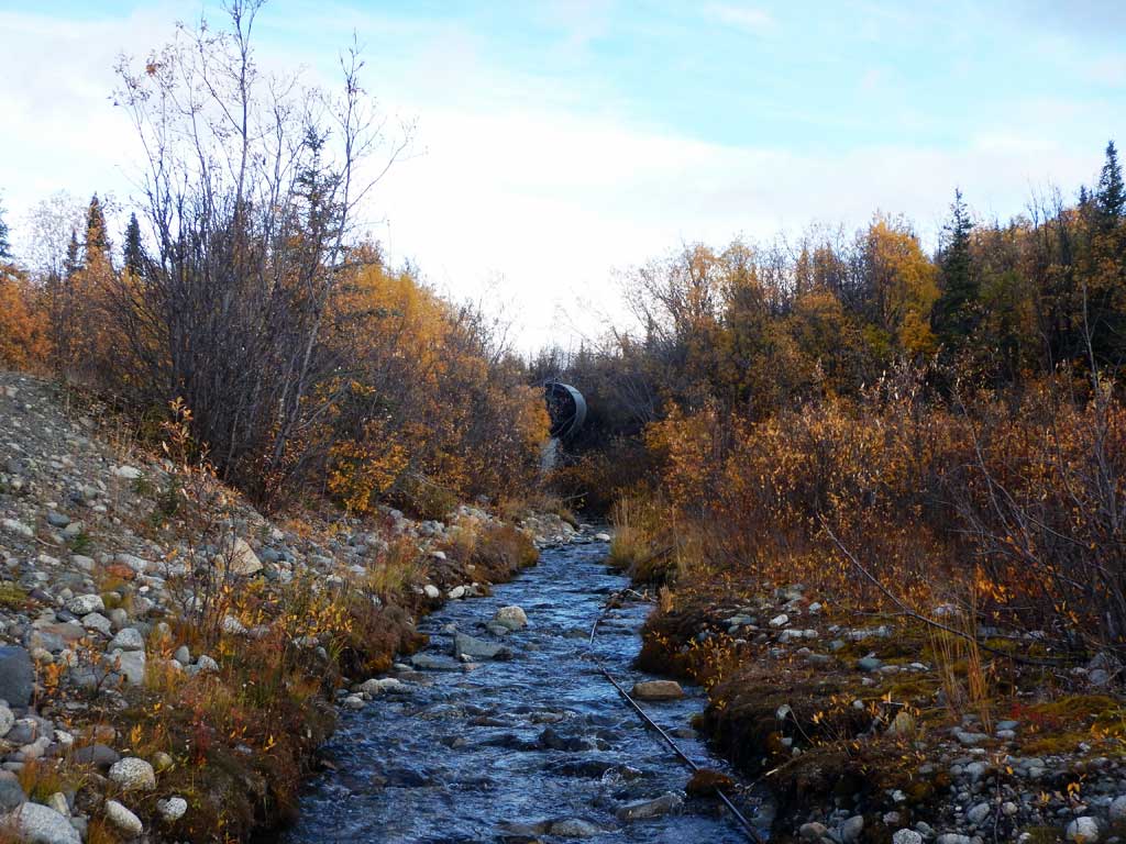
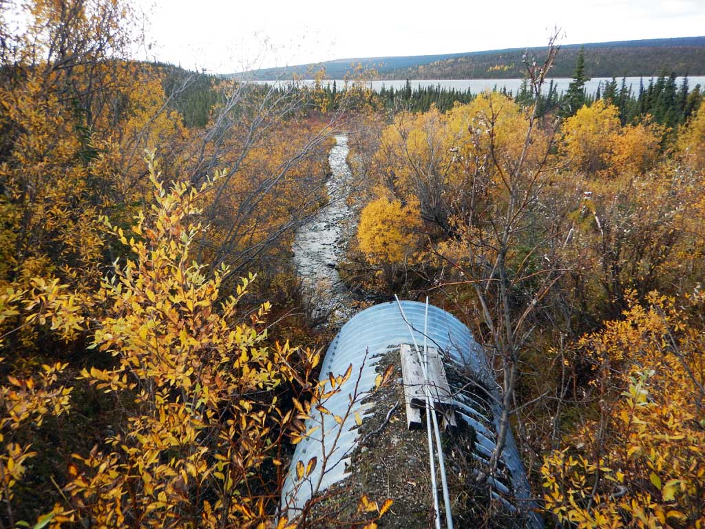
Site Comments: Tributary to Paxon Lake/ Gulkana River
arrow to the right of the survey date below to choose a different report for this site.
Survey CRWP17-Rich13
Observers: Kirsti Jurica, Hoots Witsoe
Overall Fish Passage Rating:
Tidal: No
Backwatered: No
Step Pools: No
Construction Year:
Site Observations:
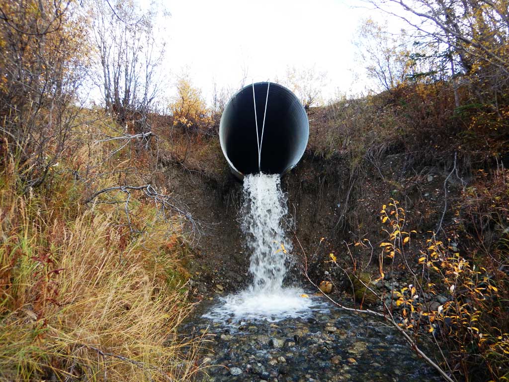
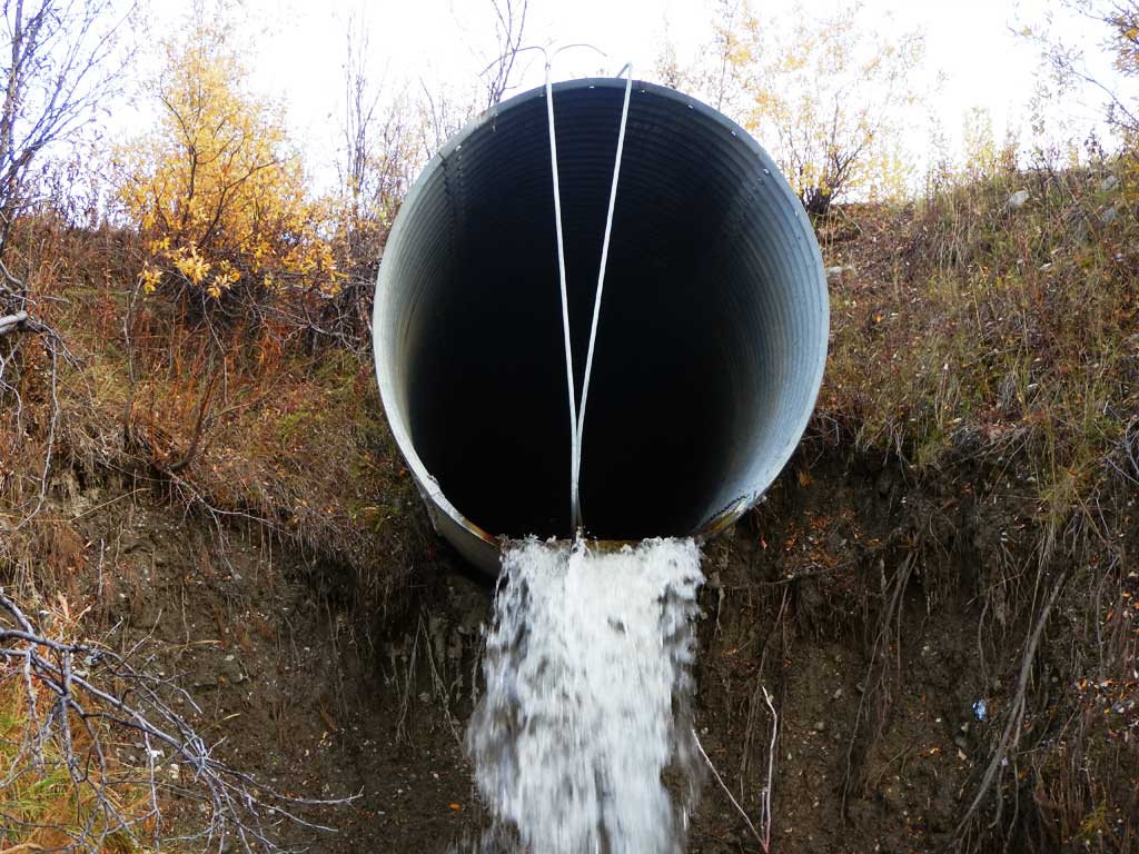
- Outfall height red
- Culvert gradient red
- Road bank erosion
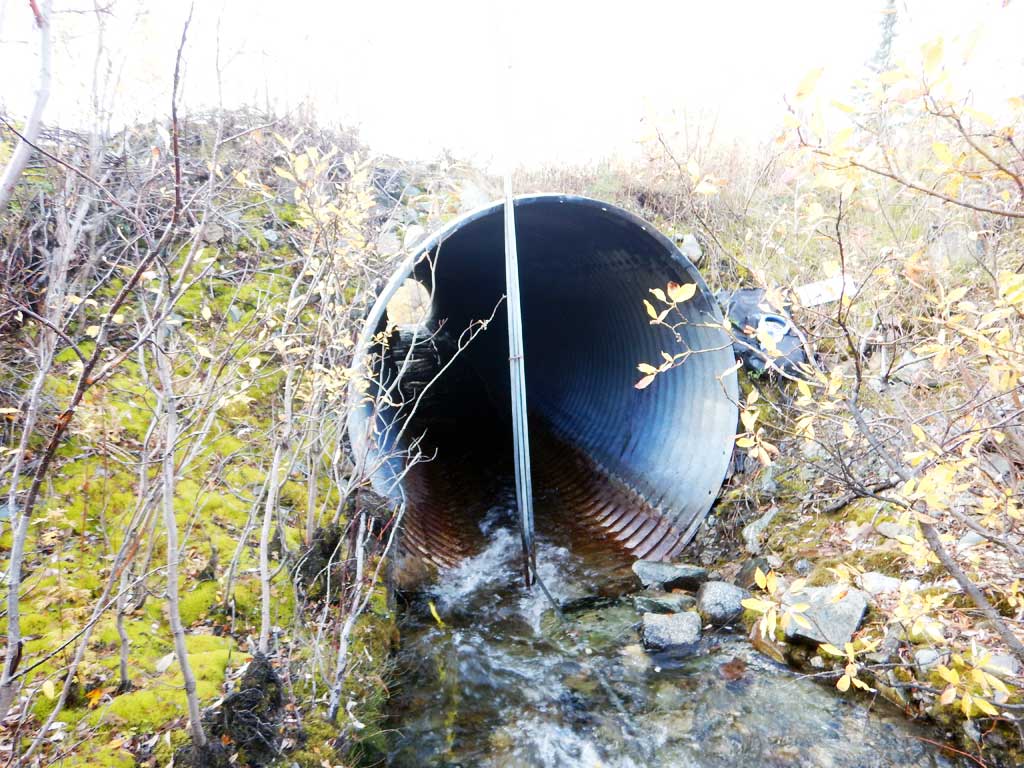
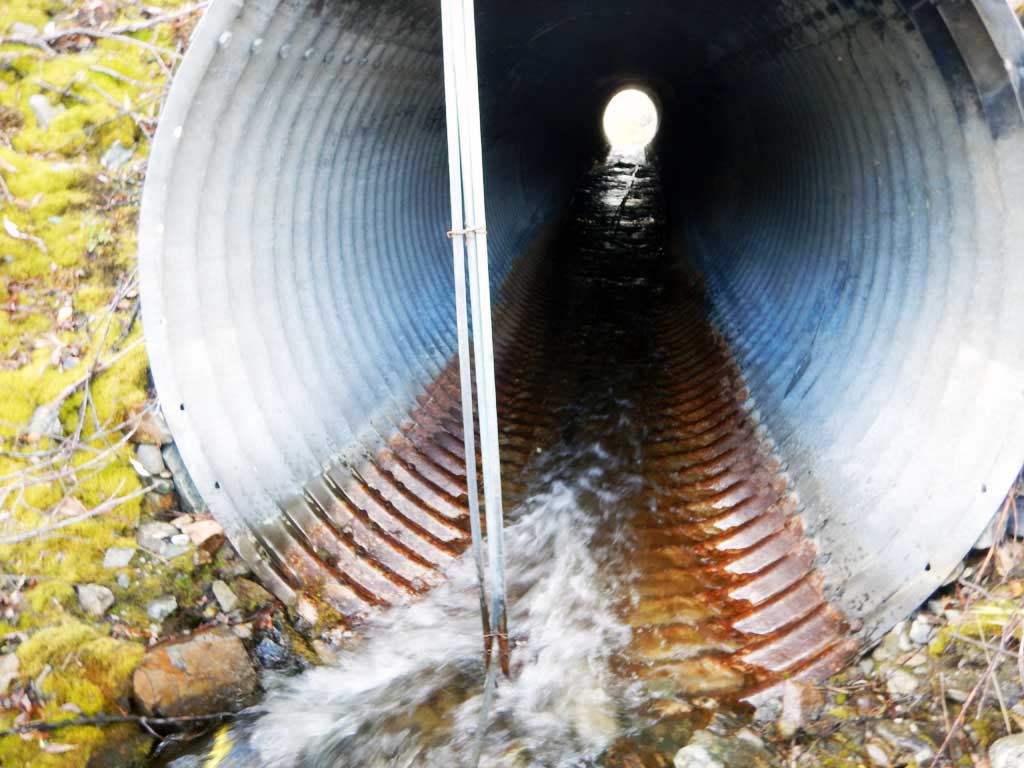
Comments: Culvert assessment performed and submitted by the Copper River Watershed Project. Small spring fed system. Channel has been diked upstream and downstream from crossing. No fish caught.
Culvert Measurements
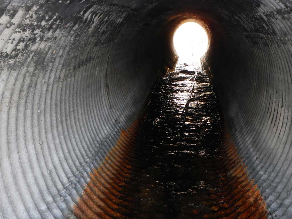
| ID: 1 | Structure Type: Circular pipe (Structural steel plate) | Fish Passage Rating: | |||||||||||||||||||||||||||||||||||||||||
|
|
|
|||||||||||||||||||||||||||||||||||||||||
Comments: Outfall height measured using stadia rod. Pipe gradient calculated using top of culvert elevations, could not access invert due to perch. Outlet too dangerous to measure. |
|||||||||||||||||||||||||||||||||||||||||||
Culvert Observations:
|
|||||||||||||||||||||||||||||||||||||||||||
Stream Measurements
|
|
| Stream Width Type | Distance From Crossing (ft) |
Stream Width (ft) |
|---|---|---|
| Downstream ordinary high water | 7.10 | |
| Downstream ordinary high water | 7.80 | |
| Downstream ordinary high water | 7.30 | |
| Upstream ordinary high water | 6.90 | |
| Upstream ordinary high water | 6.10 | |
| Upstream ordinary high water | 3.10 |
Elevations
| Locator ID | Culvert Number |
River Distance (ft)1 |
Distance From Crossing (ft)2 |
Relative Elevation (ft) |
|---|---|---|---|---|
| Road Elev | 100.00 | |||
| D/S Grade Ctrl (Thalweg) | 0.00 | 74.51 | ||
| D/S Water Surface Elev | 0.00 | 75.31 | ||
| D/S Tailcrest or 1st Thalweg | 53.00 | 78.06 | ||
| D/S Water Surface Elev | 53.00 | 78.44 | ||
| Outlet Pool Water Elev | 69.00 | 79.10 | ||
| Max Pool Depth | 69.00 | 78.35 | ||
| Outlet Culvert Top | 75.00 | 94.72 | ||
| D/S Thalweg (point directly below outlet) | 75.00 | 79.43 | ||
| Outlet Invert (Elevation estimated using stadia rod, 8.3 feet to invert from bottom.) | 75.00 | 87.73 | ||
| Inlet Culvert Invert (on pipe) | 175.00 | 90.91 | ||
| U/S Water Surface Elev | 175.00 | 91.38 | ||
| Inlet Culvert Top | 175.00 | 98.30 | ||
| U/S Grade Ctrl (Thalweg) | 179.00 | 91.52 | ||
| U/S Water Surface Elev | 179.00 | 92.00 | ||
| U/S Grade Ctrl (Thalweg) | 254.00 | 93.06 | ||
| U/S Water Surface Elev | 254.00 | 93.84 | ||
| U/S Grade Ctrl (Thalweg) | 345.00 | 96.97 | ||
| U/S Water Surface Elev | 345.00 | 97.61 |
Notes:
- River distance is measured continuously throughout the survey reach along the thalweg of the stream.
- Measured from each end of the crossing along the thalweg of the stream.
Fish Sampling Efforts
| Gear Type: Minnow Trap (A) | Trap Duration(h): 15.0 | |
| Gear Type: Minnow Trap (B) | Trap Duration(h): 15.0 | |
| Comments: No fish caught | ||
| Gear Type: Minnow Trap (C) | Trap Duration(h): 15.0 | |
| Comments: No fish caught | ||
| Gear Type: Minnow Trap (D) | Trap Duration(h): 15.0 | |
| Comments: No fish caught | ||
Fish Observations
| Species: juvenile sockeye salmon | Life History: Anadromous | ||
| Total Fish Observed: 2 | Fish Measured: 2 | Fork Lengths (mm) Min: 45 Max: 50 Mean: 47 | |
| Collected/Observed by Gear Type: Not Recorded Minnow Trap (2) | |||
Photos

Questions or comments about this report can be directed to dfg.dsf.webmaster@alaska.gov