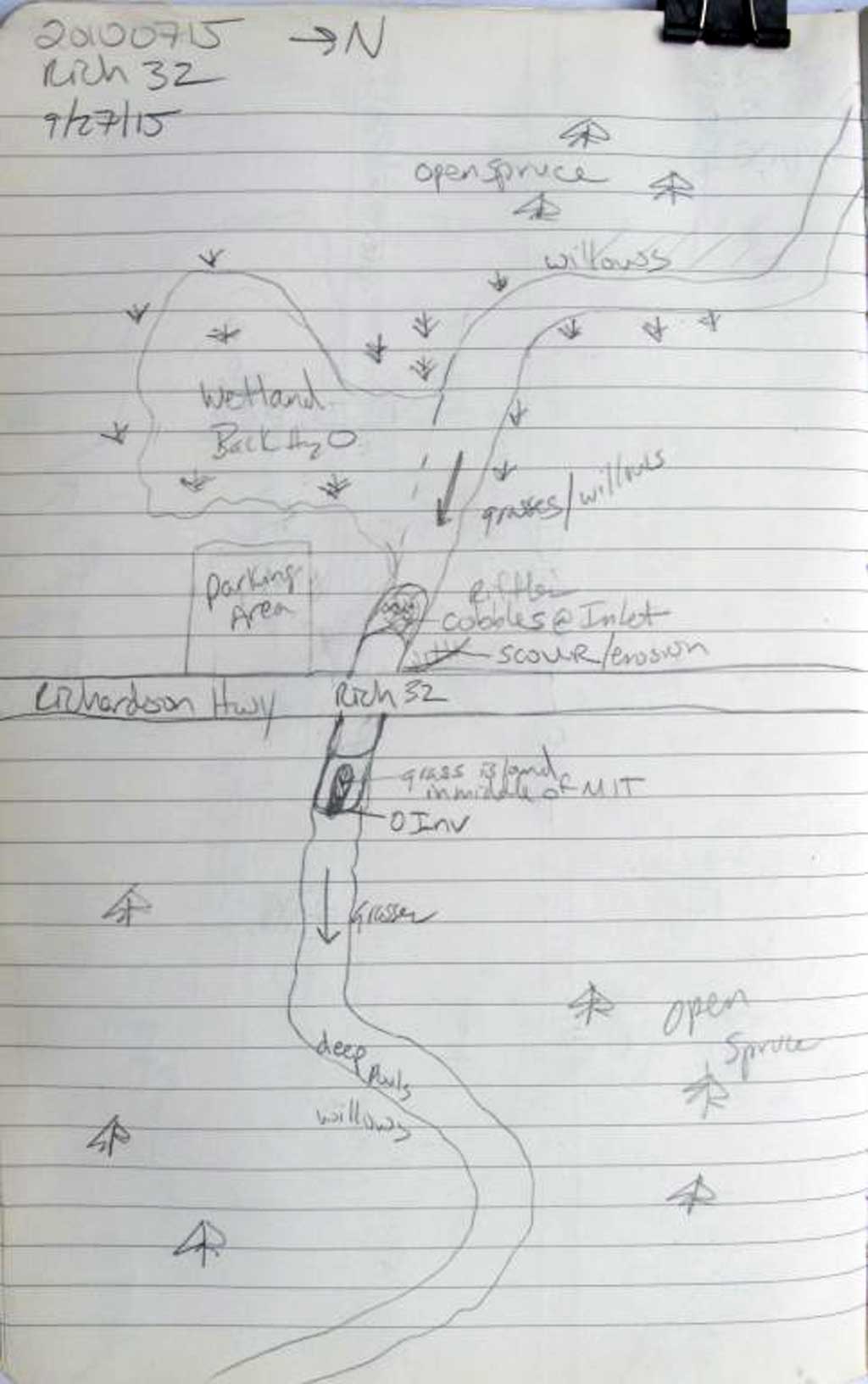
Fish Passage Site 20100715
Coordinates (dec. deg.): 61.81702°, -145.21522°
Legal Description: C001S001E03
Region: South Central
Road Name: Richardson Highway
Datum: NAD83
Quad Name / ITM: Valdez D-4
AWC Stream #:
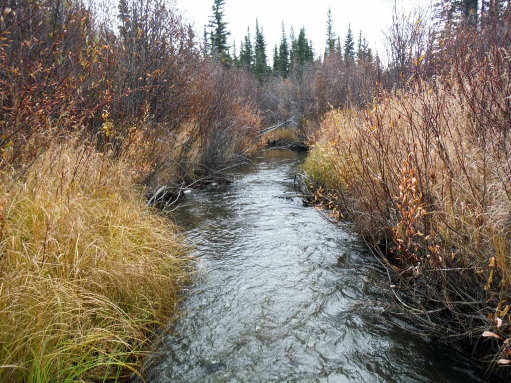
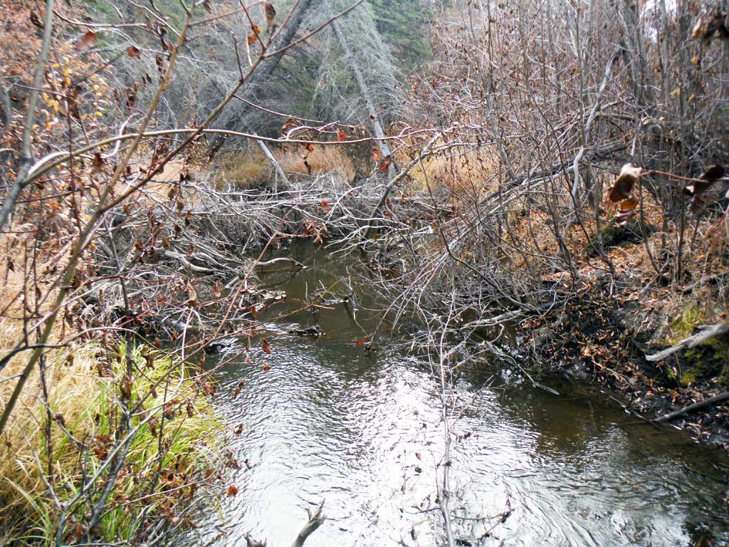
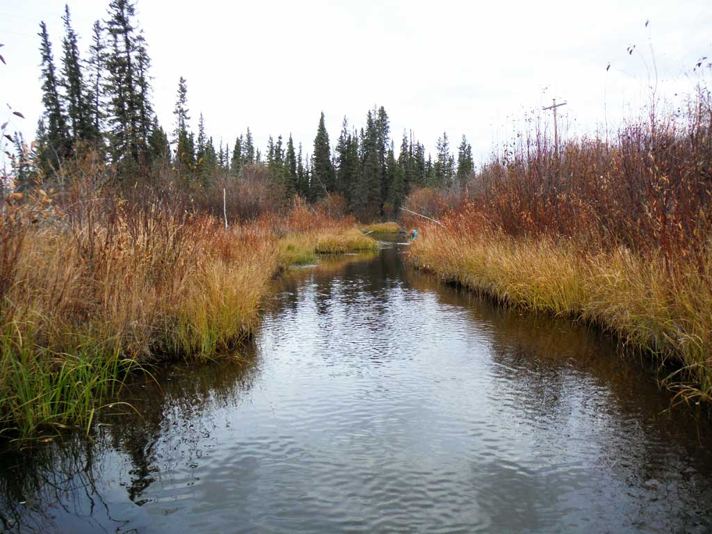
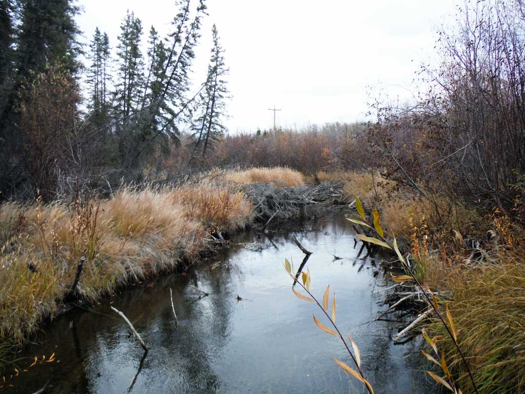
Stream Name: Willow Creek
Elevation:
Site Comments: None
arrow to the right of the survey date below to choose a different report for this site.
Survey UPDATE-RICH32
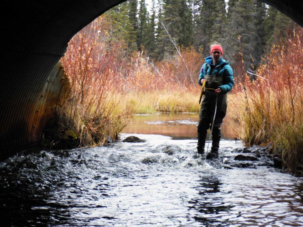
Project Supervisor: Gillian O'Doherty, ADFG
Observers: Andrew Kastning
Overall Fish Passage Rating:
Tidal: No
Backwatered: No
Step Pools: No
Construction Year:
Site Observations:
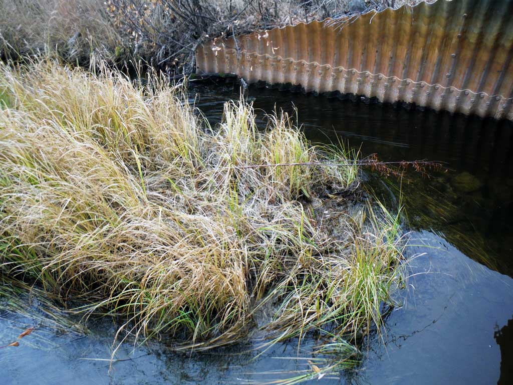
- Sediment accumulation
Comments: This assessment was conducted by the Copper River Watershed Project. Arctic Grayling caught up and downstream from culvert.
Culvert Measurements
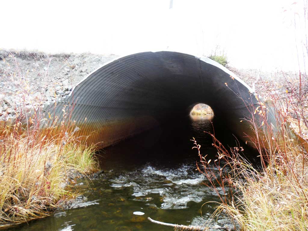
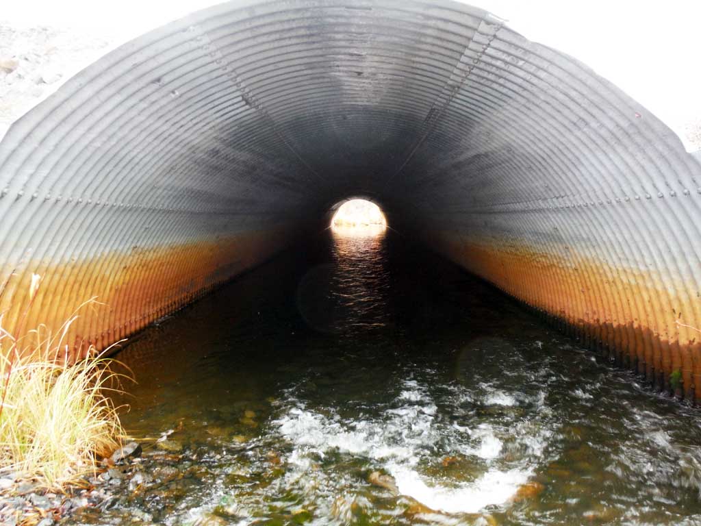
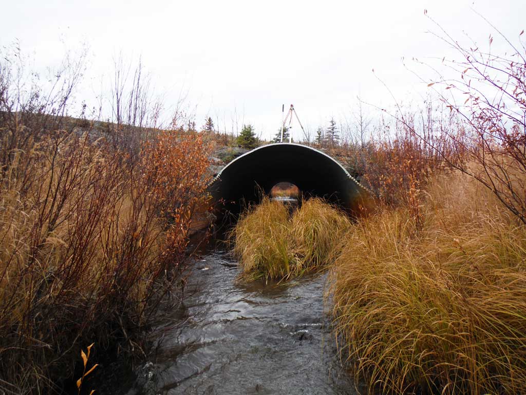
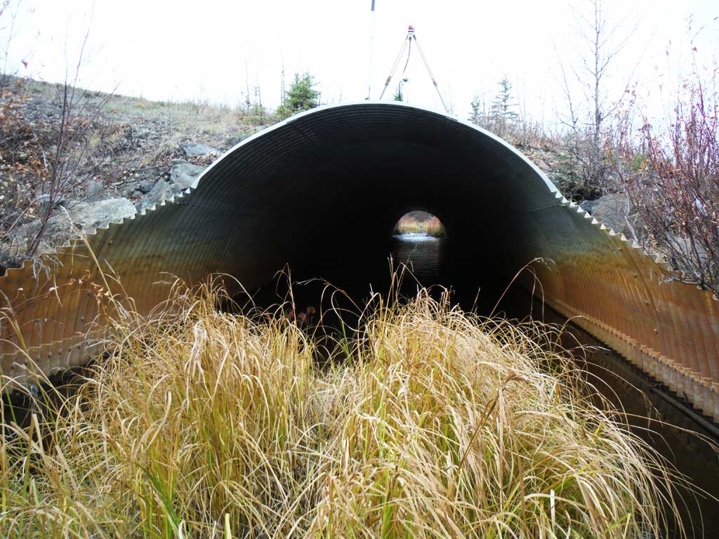
| ID: 1 | Structure Type: Pipe-arch (Structural steel plate) | Fish Passage Rating: | |||||||||||||||||||||||||||||||||||||||||
|
|
|
|||||||||||||||||||||||||||||||||||||||||
Comments: Large sediement wedge at outlet. Substrate gradient though culvert .3% |
|||||||||||||||||||||||||||||||||||||||||||
Culvert Observations:
|
|||||||||||||||||||||||||||||||||||||||||||
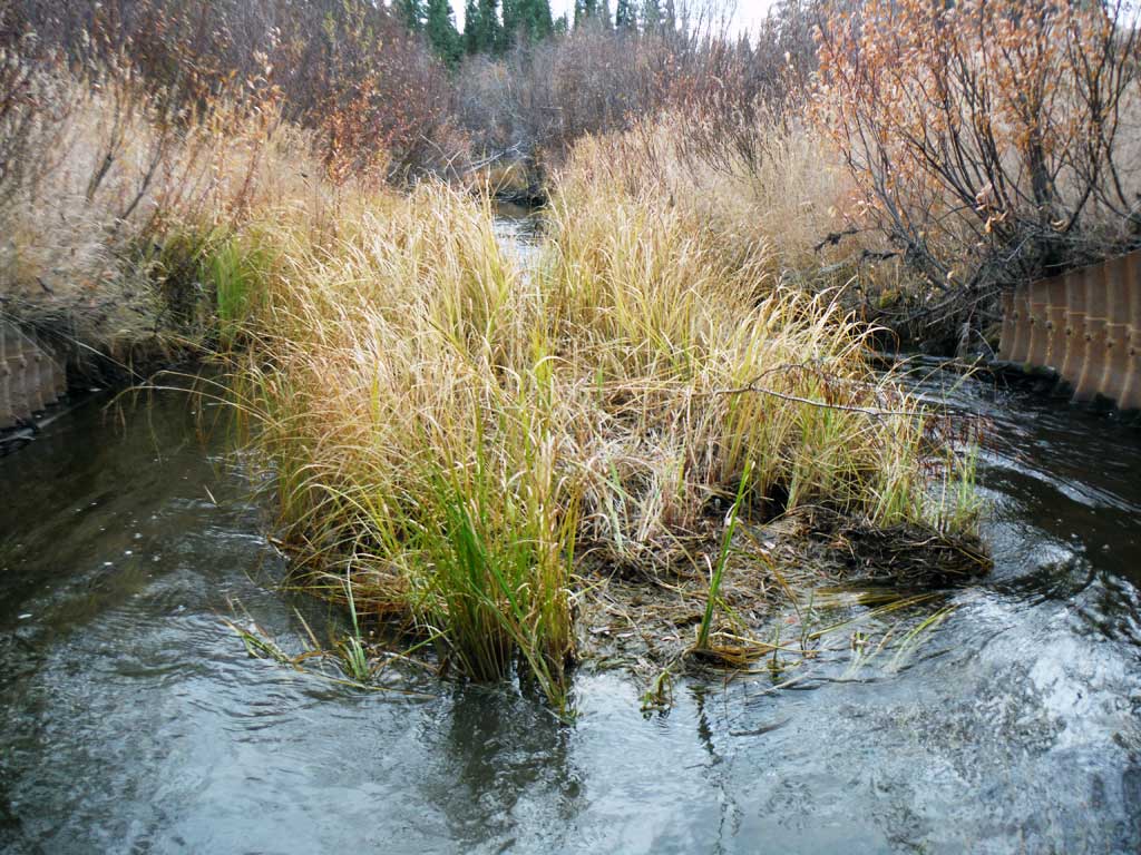
Stream Measurements
|
|
| Stream Width Type | Distance From Crossing (ft) |
Stream Width (ft) |
|---|---|---|
| Downstream ordinary high water | 13.50 | |
| Downstream ordinary high water | 9.20 | |
| Downstream ordinary high water | 13.80 | |
| Upstream ordinary high water | 20.20 | |
| Upstream ordinary high water | 14.20 | |
| Upstream ordinary high water | 15.30 | |
| Upstream ordinary high water | 14.80 |
Elevations
| Locator ID | Culvert Number |
River Distance (ft)1 |
Distance From Crossing (ft)2 |
Relative Elevation (ft) |
|---|---|---|---|---|
| Road Elev | 102.36 | |||
| D/S Grade Ctrl (Thalweg) | 0.00 | 85.25 | ||
| D/S Water Surface Elev | 0.00 | 88.31 | ||
| D/S Tailcrest or 1st Thalweg (Tailwater control top of V) | 66.00 | 88.06 | ||
| D/S Water Surface Elev | 66.00 | 88.71 | ||
| D/S Water Surface Elev | 68.00 | 88.71 | ||
| D/S Thalweg (downstream riffle) | 68.00 | 87.73 | ||
| Outlet Invert | 79.40 | 87.80 | ||
| D/S Water Surface Elev | 79.40 | 88.88 | ||
| D/S Water Surface Elev | 94.00 | 88.97 | ||
| D/S Thalweg (Below top of culvert) | 94.00 | 87.87 | ||
| Outlet Culvert Top | 94.00 | 97.32 | ||
| Inlet Culvert Top | 266.80 | 97.53 | ||
| U/S Water Surface Elev | 266.80 | 89.16 | ||
| U/S Thalweg (Below top of culvert) | 266.80 | 88.66 | ||
| U/S Water Surface Elev | 272.80 | 89.46 | ||
| U/S Thalweg (Mid miter) | 272.80 | 88.81 | ||
| U/S Water Surface Elev | 282.40 | 89.82 | ||
| Inlet Culvert Invert | 282.40 | 88.80 | ||
| U/S Water Surface Elev | 300.80 | 89.84 | ||
| U/S Grade Ctrl (Thalweg) | 300.80 | 88.32 | ||
| U/S Grade Ctrl (Thalweg) | 416.80 | 88.24 | ||
| U/S Water Surface Elev | 416.80 | 89.86 |
Notes:
- River distance is measured continuously throughout the survey reach along the thalweg of the stream.
- Measured from each end of the crossing along the thalweg of the stream.
Fish Sampling Efforts
| Gear Type: Minnow Trap (A) | Trap Duration(h): 18.0 | |
| Comments: 2 Traps set upstream. | ||
| Gear Type: Minnow Trap (B) | Trap Duration(h): 18.0 | |
| Comments: 2 traps set downstream | ||
Fish Observations
| Species: juvenile Arctic grayling | Life History: Resident | ||
| Total Fish Observed: 5 | Fish Measured: 5 | Fork Lengths (mm) Min: 80 Max: 95 Mean: 86 | |
| Collected/Observed by Gear Type: Downstream Minnow Trap (3) Upstream Minnow Trap (2) | |||
Photos


Questions or comments about this report can be directed to dfg.dsf.webmaster@alaska.gov