Fish Passage Site 20100713
Coordinates (dec. deg.): 61.75813°, -145.15625°
Legal Description: C001S001E25
Region: South Central
Road Name: Richardson Highway
Datum: NAD83
Quad Name / ITM: Valdez D-4
AWC Stream #:
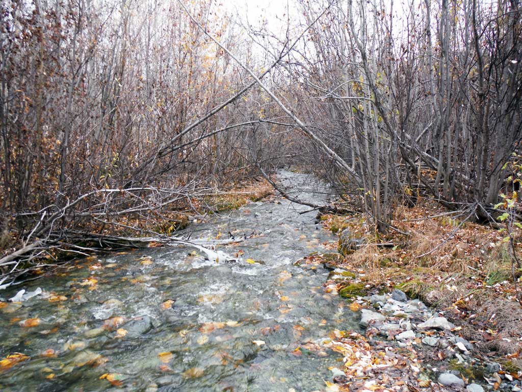
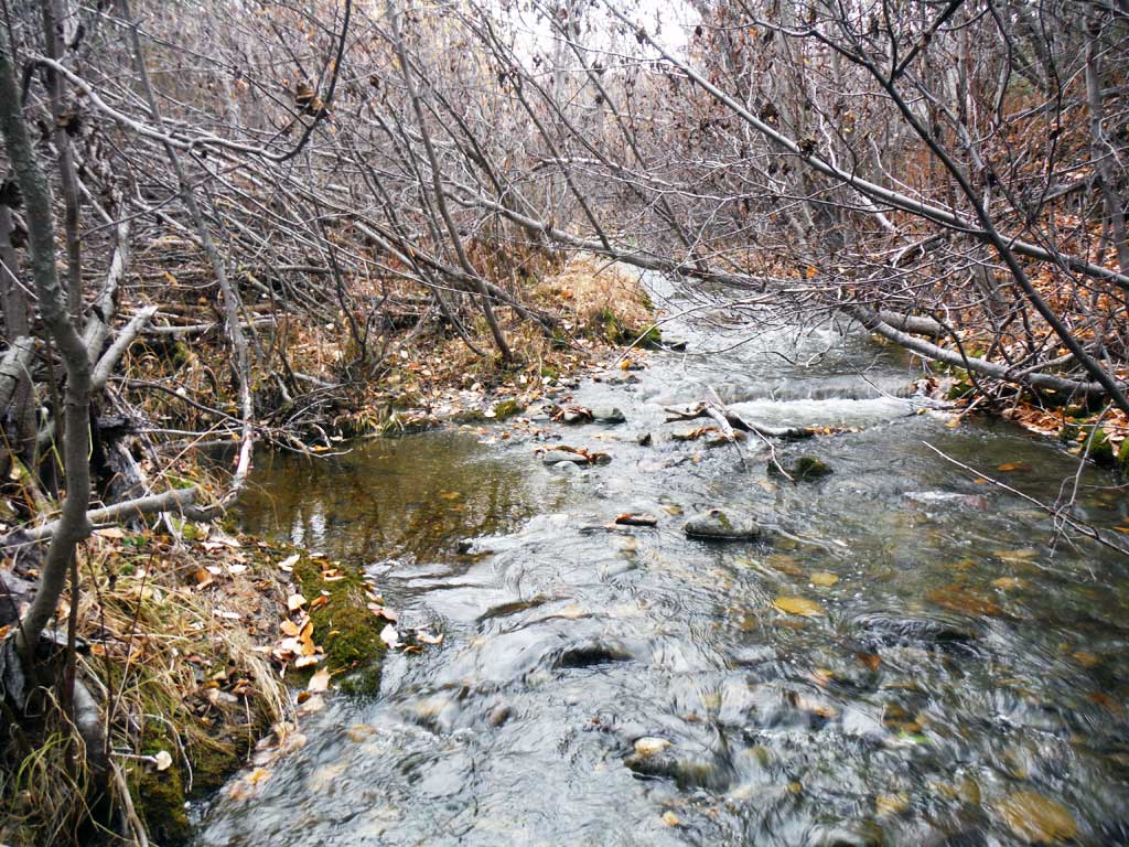
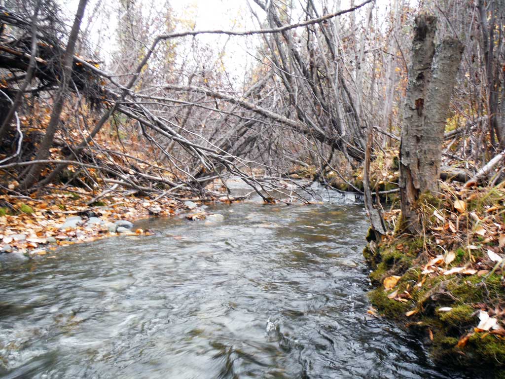
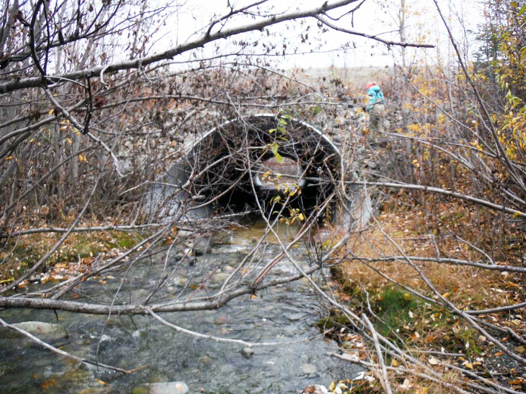
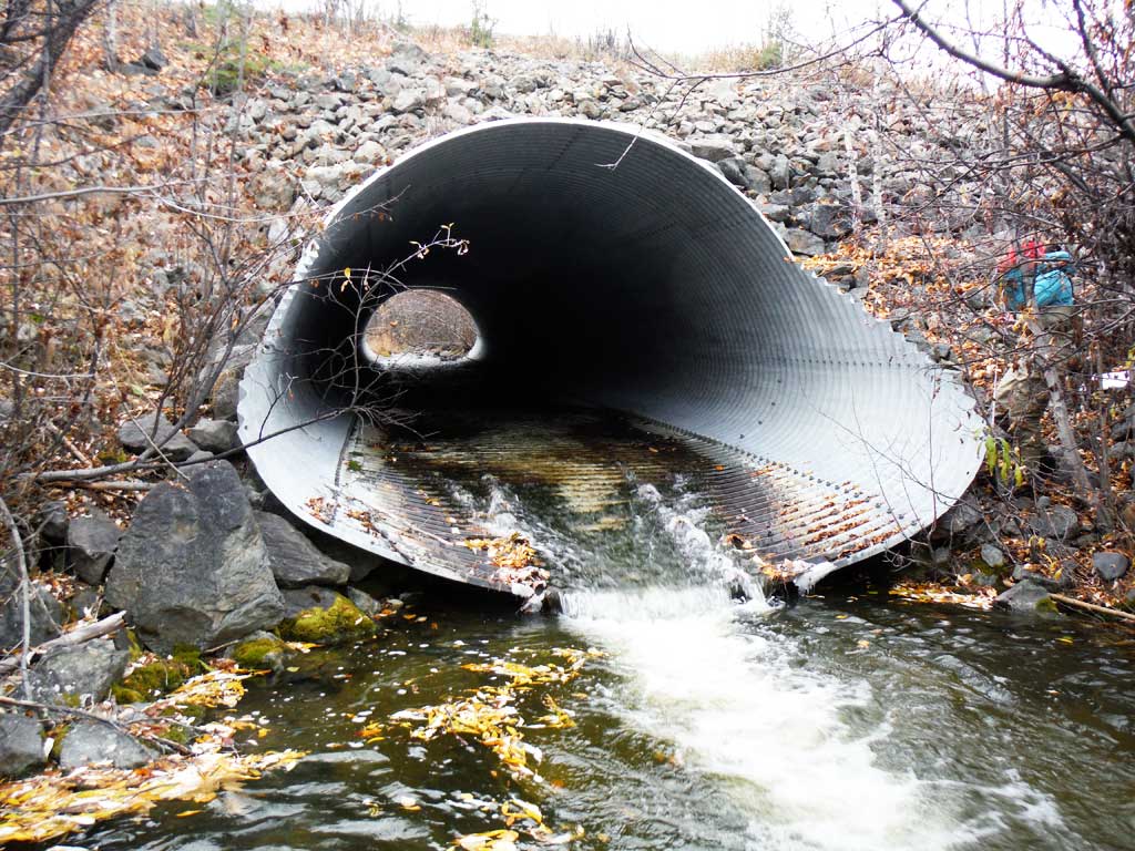
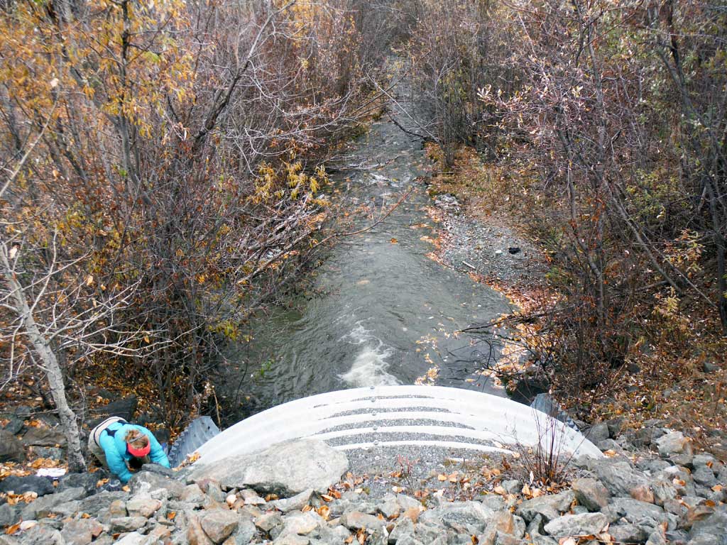
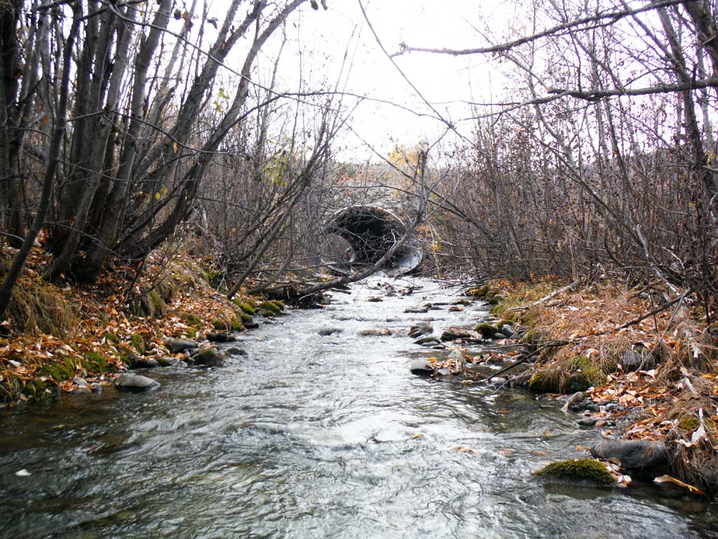
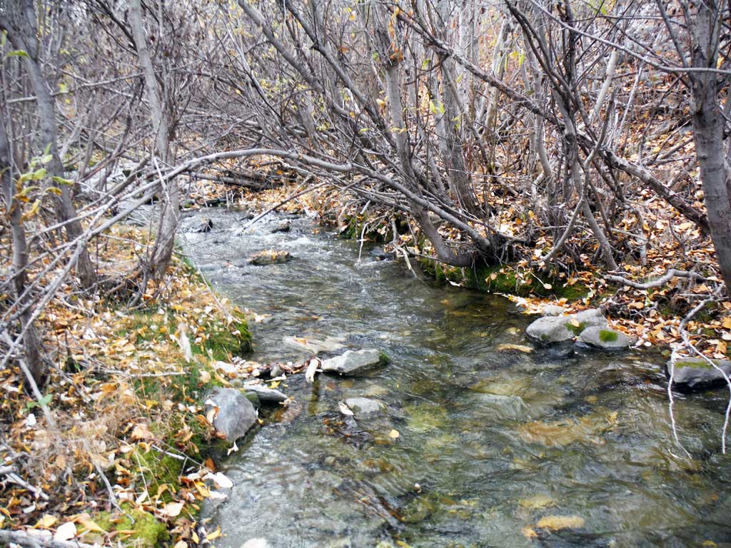
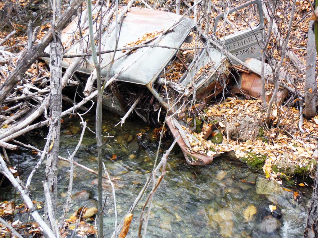
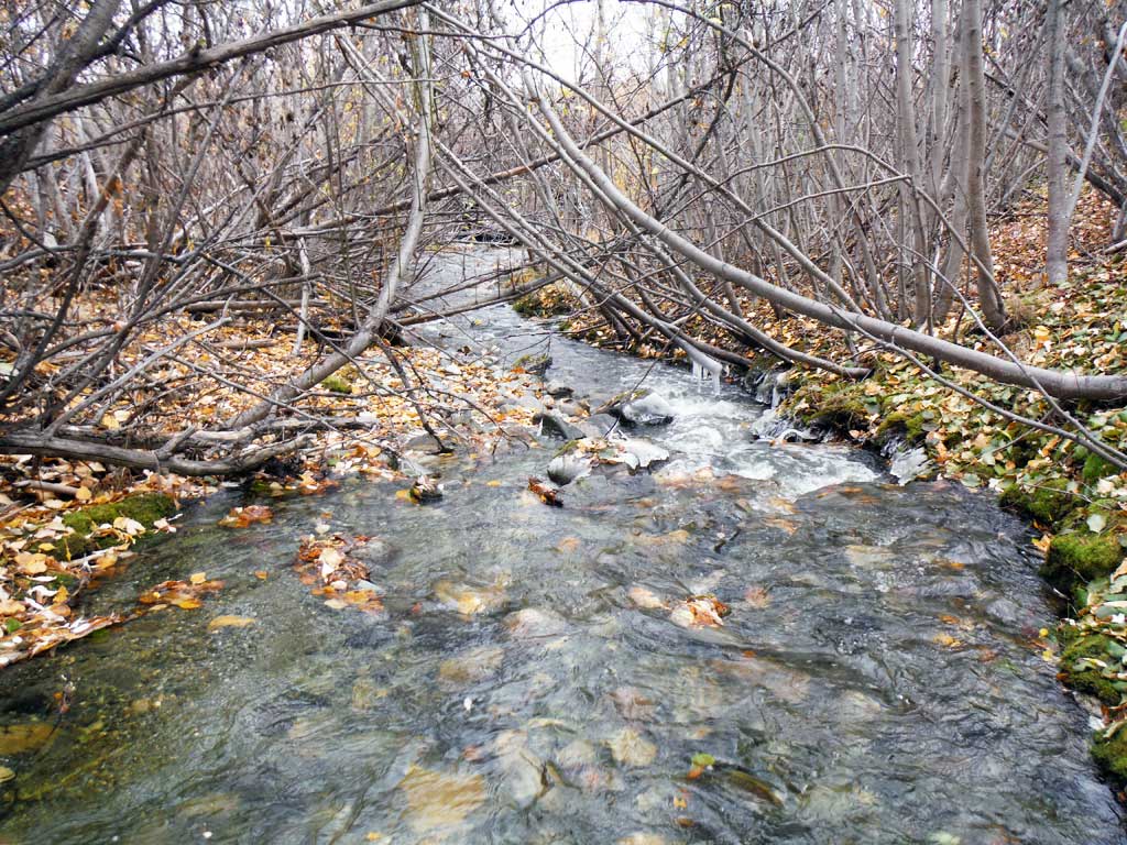
Stream Name: Rock Creek
Elevation:
Site Comments: MP 86.1
arrow to the right of the survey date below to choose a different report for this site.
Survey UPDATE-RICH30
Project Supervisor: Gillian O'Doherty, ADFG
Observers: Kirsti Jurica
Overall Fish Passage Rating:
Tidal: No
Backwatered: No
Step Pools: No
Construction Year:
Site Observations:
- Outfall height red
- Culvert gradient red
Comments: This assessment was conducted by the Copper River Watershed Project.
Culvert Measurements
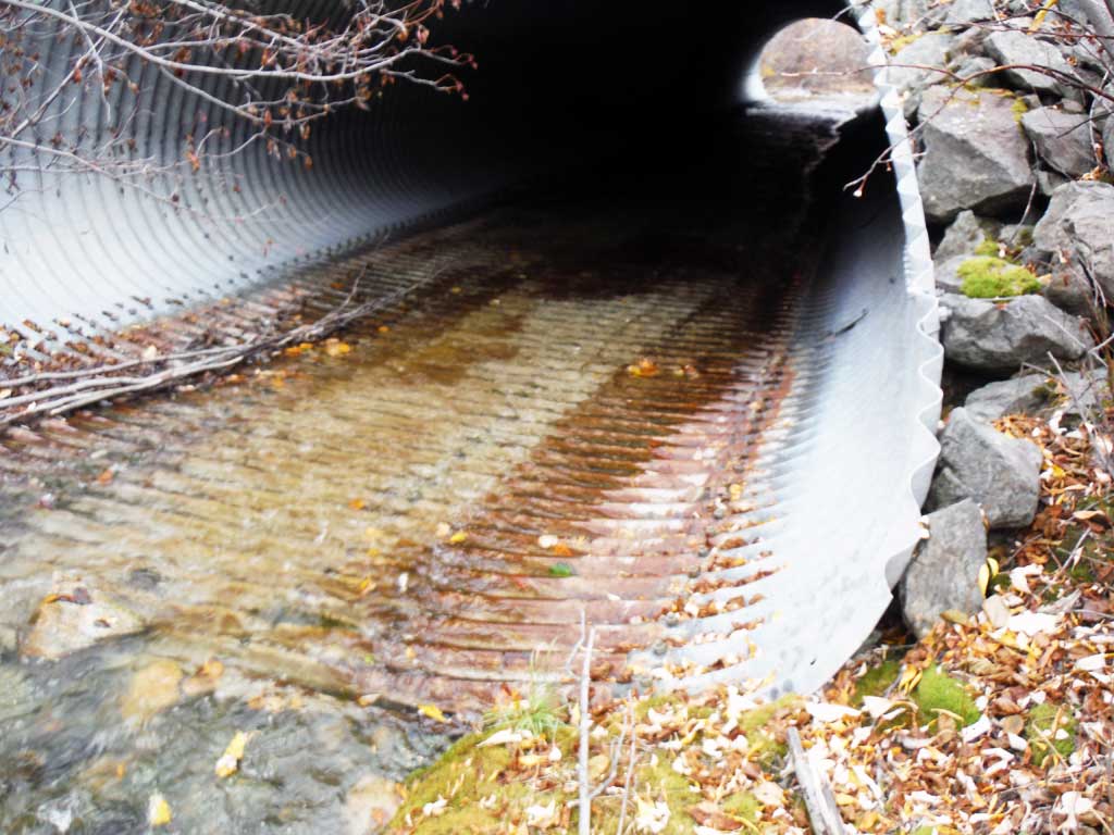
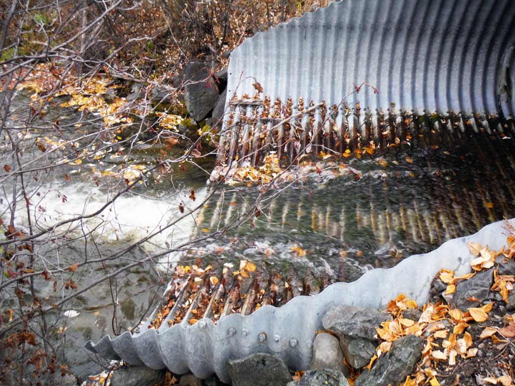
| ID: 1 | Structure Type: Pipe-arch (Structural steel plate) | Fish Passage Rating: | |||||||||||||||||||||||||||||||||||||||||
|
|
|
|||||||||||||||||||||||||||||||||||||||||
Comments: Outlet miter is at an angle and stream riffles across it. Stream slope taken with clinometer. |
|||||||||||||||||||||||||||||||||||||||||||
Culvert Observations:
|
|||||||||||||||||||||||||||||||||||||||||||
Stream Measurements
|
|
| Stream Width Type | Distance From Crossing (ft) |
Stream Width (ft) |
|---|---|---|
| Downstream ordinary high water | 9.70 | |
| Downstream ordinary high water | 7.10 | |
| Downstream ordinary high water | 8.50 | |
| Upstream ordinary high water | 7.20 | |
| Upstream ordinary high water | 9.50 | |
| Upstream ordinary high water | 8.10 | |
| Upstream ordinary high water | 9.70 |
Elevations
| Locator ID | Culvert Number |
River Distance (ft)1 |
Distance From Crossing (ft)2 |
Relative Elevation (ft) |
|---|---|---|---|---|
| Outlet Culvert Top (Top of miter, distance from end of pipe not recorded) | 102.02 | |||
| Inlet Culvert Top (Top of miter, distance from end of pipe not recorded) | 105.44 | |||
| Road Elev | 115.10 | |||
| D/S Grade Ctrl (Thalweg) | 0.00 | 87.27 | ||
| D/S Water Surface Elev | 0.00 | 87.93 | ||
| D/S Tailcrest or 1st Thalweg | 91.00 | 90.33 | ||
| D/S Water Surface Elev | 91.00 | 90.78 | ||
| Outlet Pool Water Elev | 106.00 | 90.65 | ||
| Max Pool Depth | 106.00 | 87.33 | ||
| Outlet Invert | 116.00 | 90.93 | ||
| D/S Water Surface Elev | 116.00 | 91.06 | ||
| Inlet Culvert Invert | 237.00 | 95.82 | ||
| U/S Water Surface Elev | 237.00 | 96.13 | ||
| U/S Grade Ctrl (Thalweg) | 253.00 | 96.57 | ||
| U/S Water Surface Elev | 253.00 | 96.91 | ||
| U/S Grade Ctrl (Thalweg) | 323.00 | 98.81 | ||
| U/S Water Surface Elev | 323.00 | 99.21 | ||
| U/S Grade Ctrl (Thalweg) | 353.00 | 100.15 | ||
| U/S Water Surface Elev | 353.00 | 100.51 |
Notes:
- River distance is measured continuously throughout the survey reach along the thalweg of the stream.
- Measured from each end of the crossing along the thalweg of the stream.
Fish Sampling Efforts
| Gear Type: Minnow Trap (A) | Trap Duration(h): 19.0 | |
| Comments: 3 Traps set upstream. | ||
| Gear Type: Minnow Trap (B) | Trap Duration(h): 19.0 | |
| Comments: 3 traps set downstream | ||
Fish Observations
| Species: Arctic grayling | Life History: Unknown | ||
| Total Fish Observed: 1 | Fish Measured: 1 | Fork Lengths (mm) Min: 85 Max: 85 Mean: 85 | |
| Collected/Observed by Gear Type: Upstream Minnow Trap (1) | |||
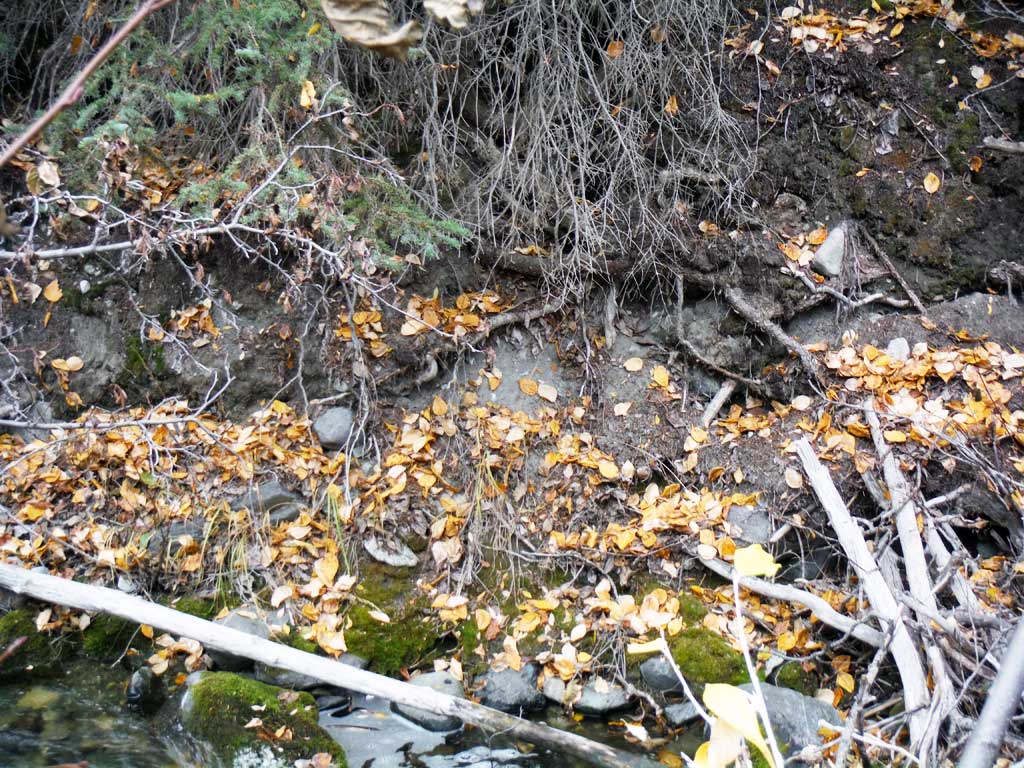
Photos


Questions or comments about this report can be directed to dfg.dsf.webmaster@alaska.gov