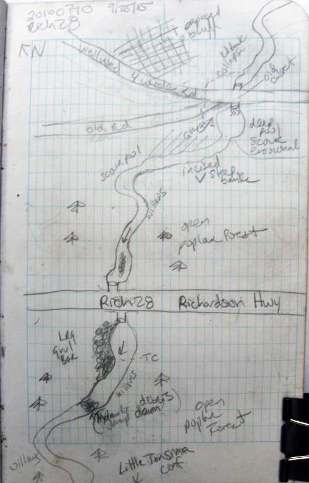
Fish Passage Site 20100710
Coordinates (dec. deg.): 61.59142°, -145.22214°
Legal Description: C003S001E21
Region: South Central
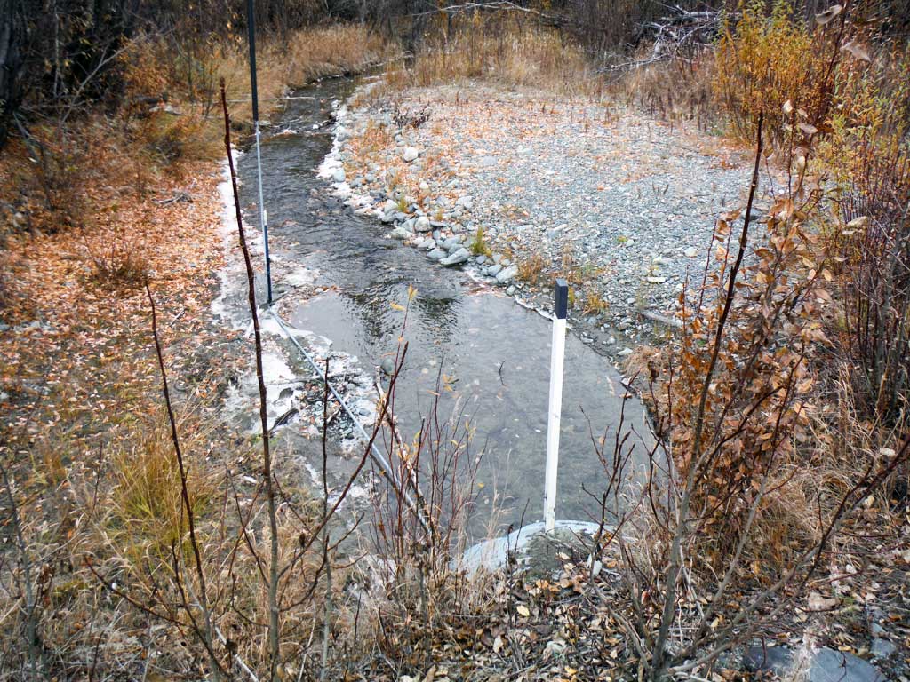
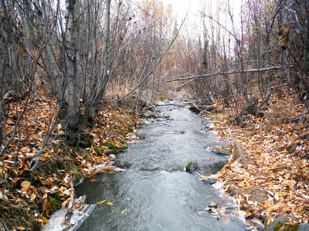
Road Name: Richardson Highway
Datum: NAD83
Quad Name / ITM: Valdez C-4
AWC Stream #:
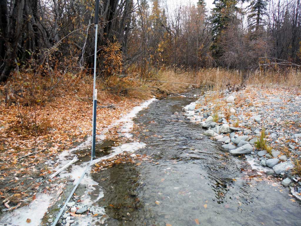
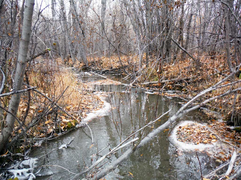
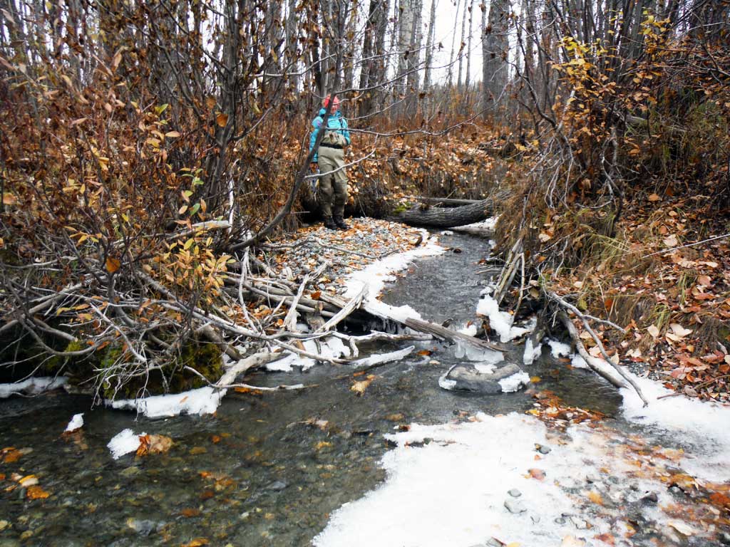
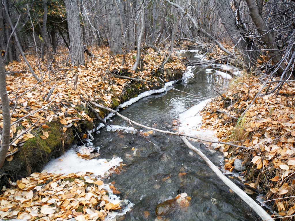
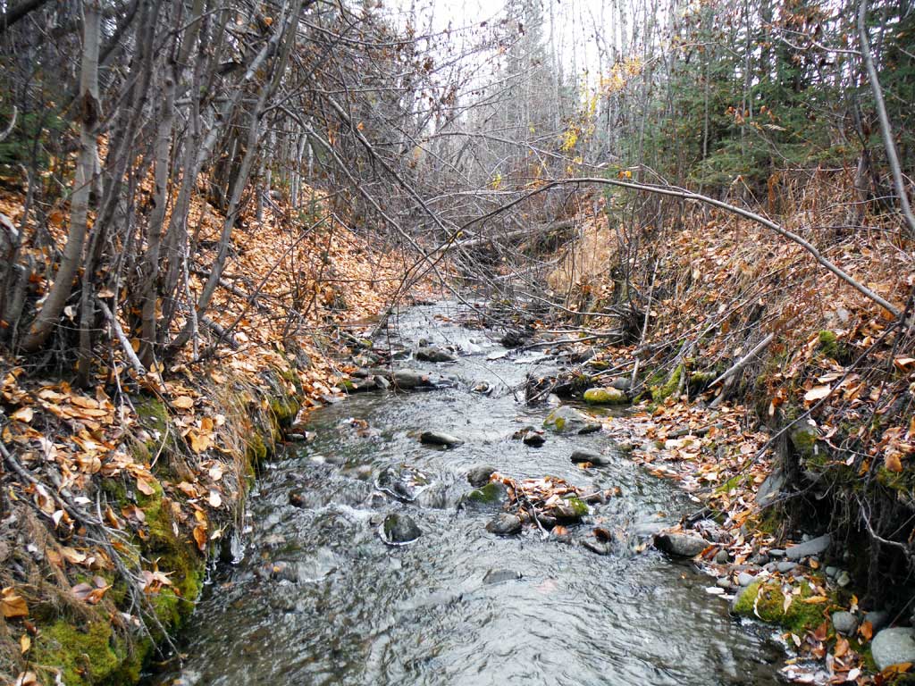
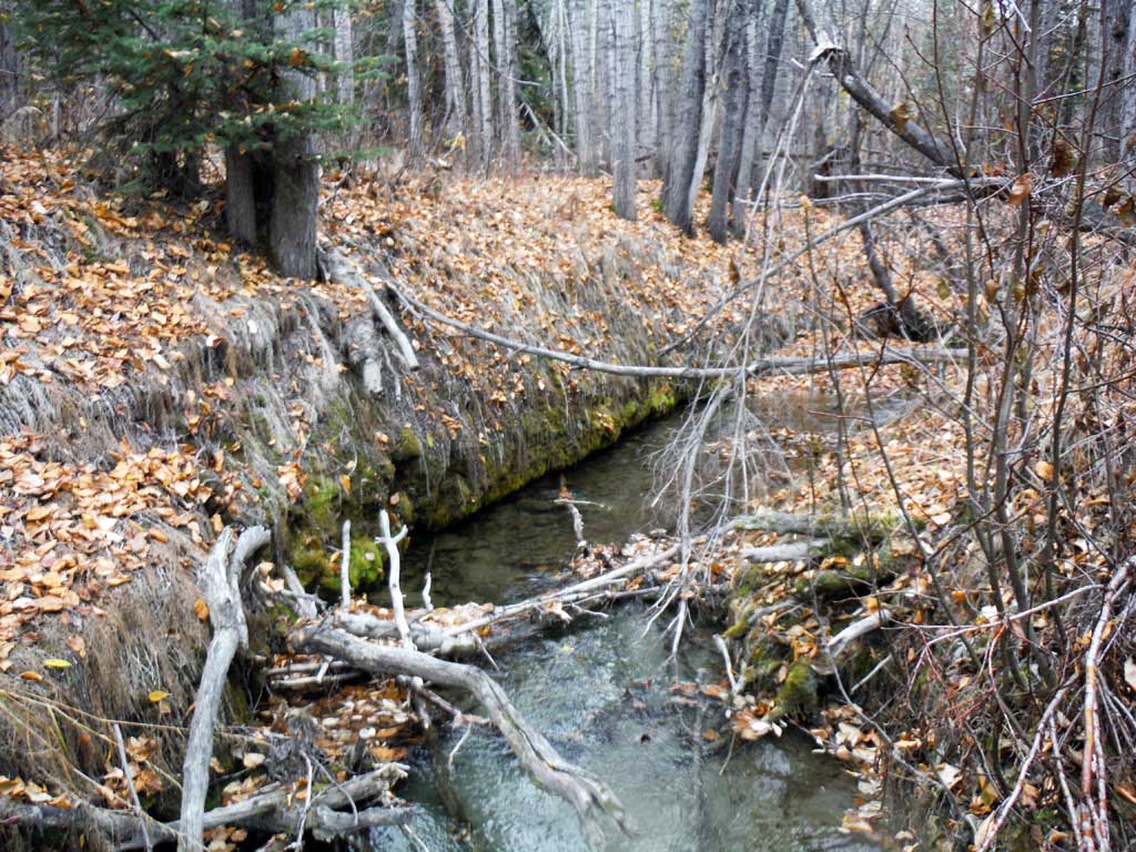
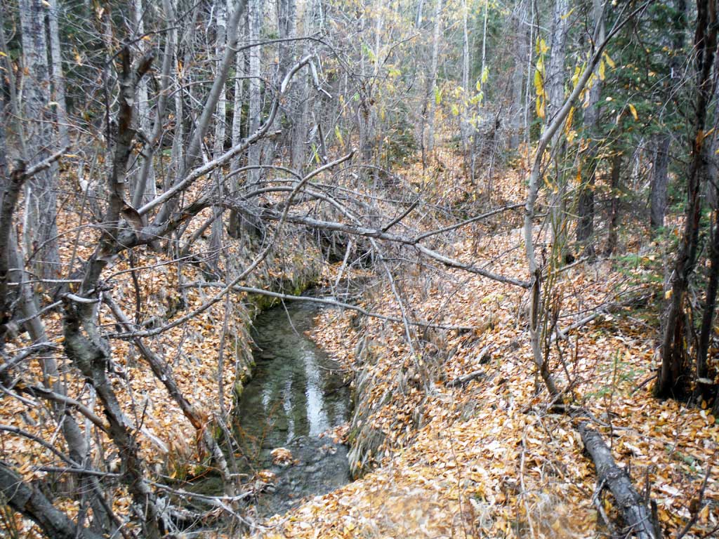
Stream Name: Little Tonsina Tributary
Elevation:
Site Comments: None
arrow to the right of the survey date below to choose a different report for this site.
Survey UPDATE-RICH28
Project Supervisor: Gillian O'Doherty, ADFG
Observers: Kirsti Jurica
Overall Fish Passage Rating:
Tidal: No
Backwatered: No
Step Pools: No
Construction Year:
Site Observations:
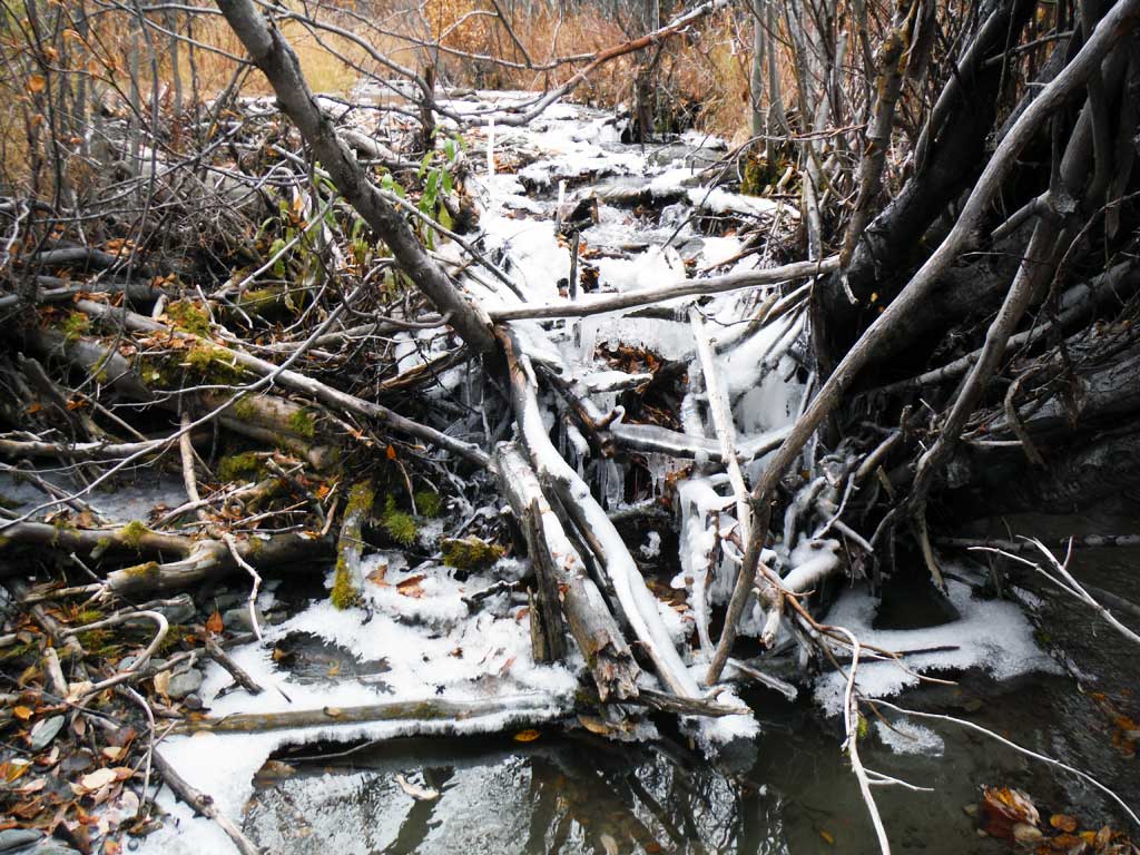
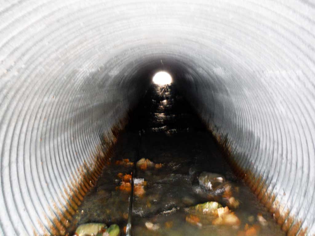
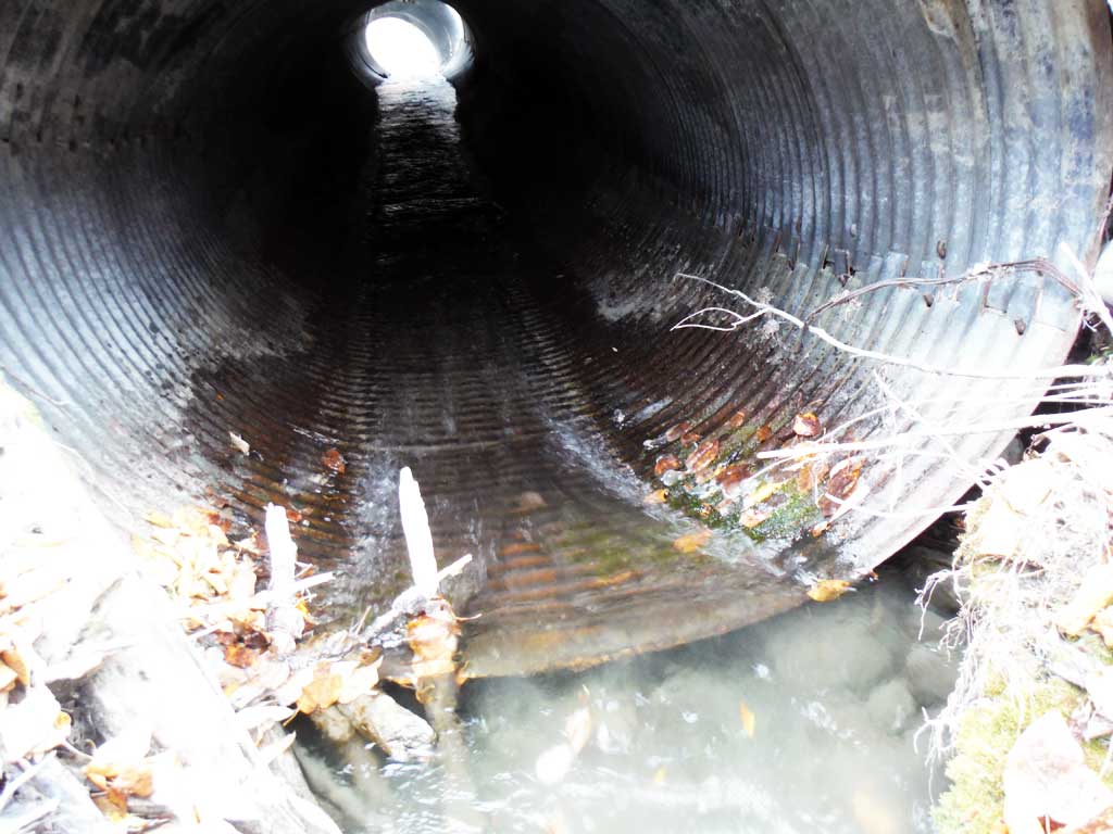
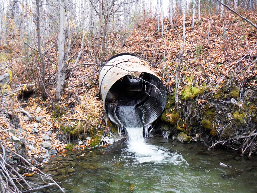
- Culvert gradient red
- Road bank erosion
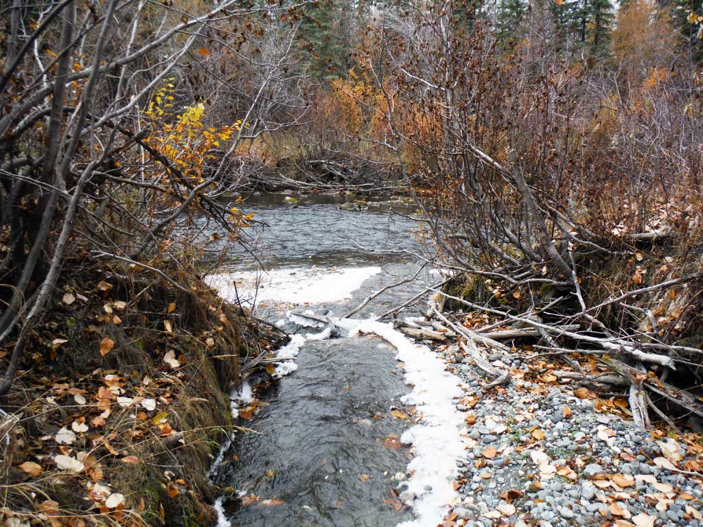
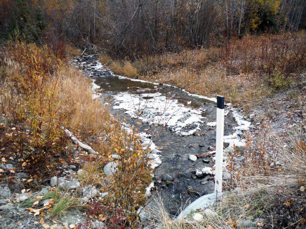
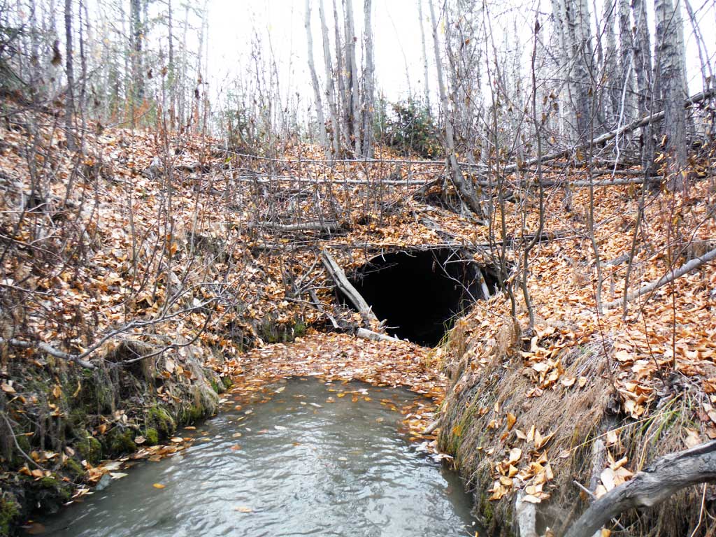
Comments: This assessment was conducted by the Copper River Watershed Project. An old perched culvert is about 400 feet upstream on an ATV access road.
Culvert Measurements
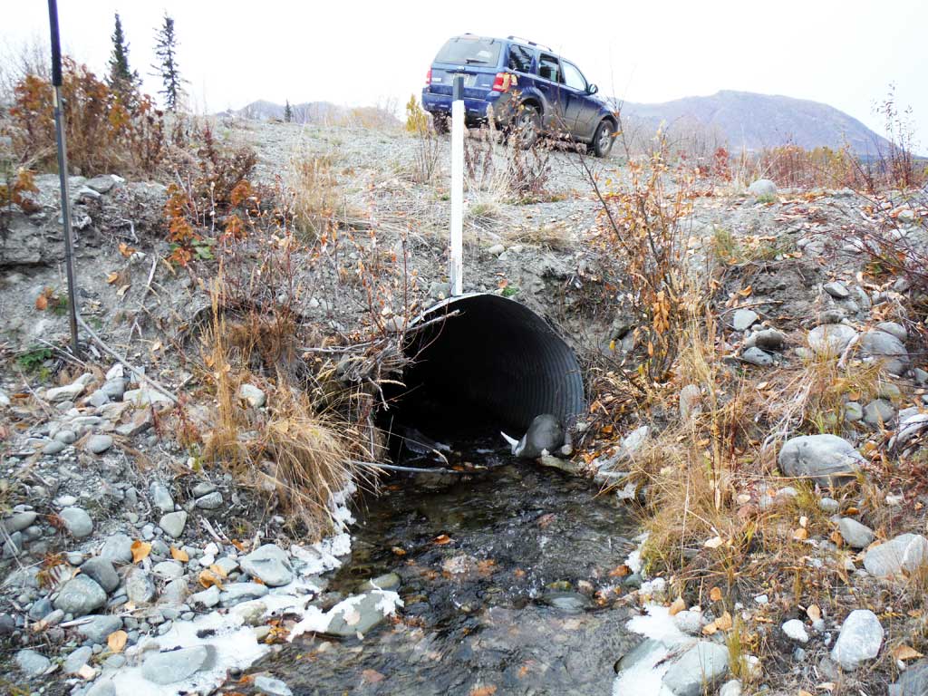
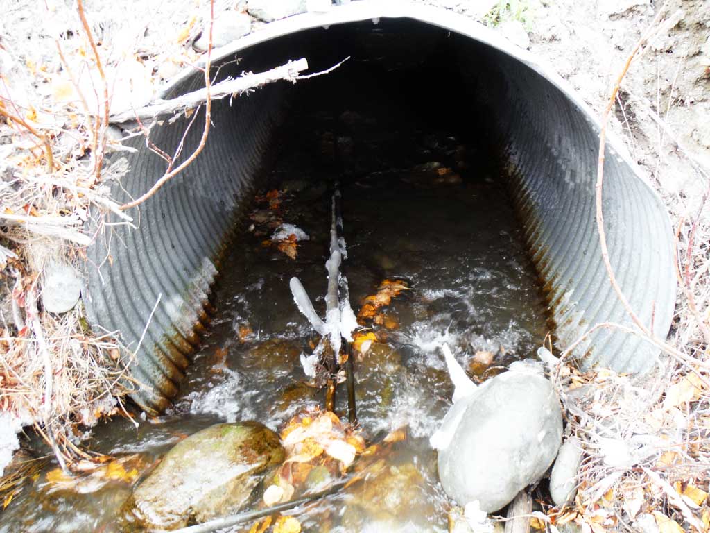
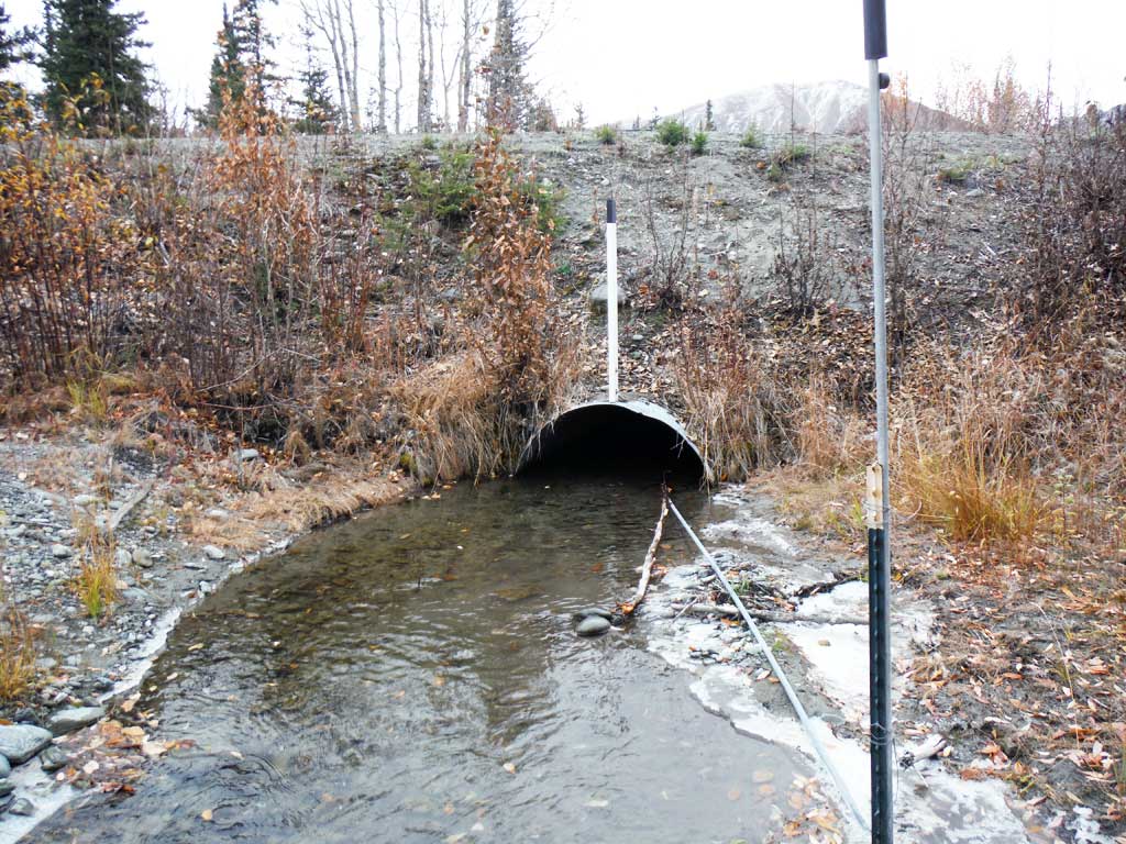
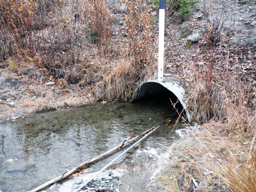
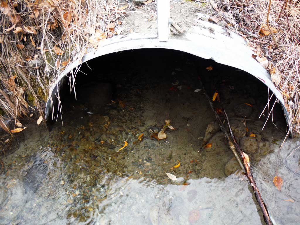
| ID: 1 | Structure Type: Circular pipe (Corrugated steel) | Fish Passage Rating: | |||||||||||||||||||||||||||||||||||||||||
|
|
|
|||||||||||||||||||||||||||||||||||||||||
Culvert Observations:
|
|||||||||||||||||||||||||||||||||||||||||||
Stream Measurements
|
|
| Stream Width Type | Distance From Crossing (ft) |
Stream Width (ft) |
|---|---|---|
| Downstream ordinary high water | 8.60 | |
| Downstream ordinary high water | 5.60 | |
| Downstream ordinary high water | 5.70 | |
| Upstream ordinary high water | 5.50 | |
| Upstream ordinary high water | 7.00 | |
| Upstream ordinary high water | 5.80 | |
| Upstream ordinary high water | 6.10 |
Elevations
| Locator ID | Culvert Number |
River Distance (ft)1 |
Distance From Crossing (ft)2 |
Relative Elevation (ft) |
|---|---|---|---|---|
| Road Elev | 106.04 | |||
| D/S Grade Ctrl (Thalweg) | 0.00 | 92.63 | ||
| D/S Water Surface Elev | 0.00 | 92.95 | ||
| D/S Tailcrest or 1st Thalweg | 95.00 | 94.10 | ||
| D/S Water Surface Elev | 95.00 | 94.52 | ||
| Outlet Pool Water Elev | 103.00 | 94.57 | ||
| Max Pool Depth | 103.00 | 93.91 | ||
| Outlet Invert | 107.00 | 93.98 | ||
| D/S Water Surface Elev | 107.00 | 94.57 | ||
| Outlet Culvert Top | 107.00 | 96.40 | ||
| U/S Water Surface Elev | 188.00 | 96.24 | ||
| Inlet Culvert Top | 188.00 | 100.00 | ||
| Inlet Culvert Invert | 188.00 | 95.79 | ||
| U/S Grade Ctrl (Thalweg) | 195.00 | 96.17 | ||
| U/S Water Surface Elev | 195.00 | 96.79 | ||
| U/S Grade Ctrl (Thalweg) | 221.00 | 97.47 | ||
| U/S Water Surface Elev | 221.00 | 97.77 | ||
| U/S Grade Ctrl (Thalweg) | 334.00 | 101.27 | ||
| U/S Water Surface Elev | 334.00 | 101.78 |
Notes:
- River distance is measured continuously throughout the survey reach along the thalweg of the stream.
- Measured from each end of the crossing along the thalweg of the stream.
Fish Sampling Efforts
| Gear Type: Minnow Trap (A) | Trap Duration(h): 18.0 | |
| Comments: 3 traps set upstream | ||
| Gear Type: Minnow Trap (B) | Trap Duration(h): 18.0 | |
| Comments: 3 traps set downstream | ||
Fish Observations
| Species: juvenile Chinook salmon | Life History: Anadromous | ||
| Total Fish Observed: 1 | Fish Measured: 1 | Fork Lengths (mm) Min: 80 Max: 80 Mean: 80 | |
| Collected/Observed by Gear Type: Downstream Minnow Trap (1) | |||
| Species: juvenile coho salmon | Life History: Anadromous | ||
| Total Fish Observed: 1 | Fish Measured: 1 | Fork Lengths (mm) Min: 75 Max: 75 Mean: 75 | |
| Collected/Observed by Gear Type: Downstream Minnow Trap (1) | |||
| Species: Dolly Varden | Life History: Unknown | ||
| Total Fish Observed: 9 | Fish Measured: 9 | Fork Lengths (mm) Min: 65 Max: 220 Mean: 116 | |
| Collected/Observed by Gear Type: Downstream Minnow Trap (4) Upstream Minnow Trap (5) | |||
Photos

Questions or comments about this report can be directed to dfg.dsf.webmaster@alaska.gov