Fish Passage Site 20100511
Coordinates (dec. deg.): 60.44318°, -145.12714°
Legal Description: C016S001E36
Region: South Central
Road Name: Copper River Highway
Datum: NAD83
Quad Name / ITM: Cordova B-4
AWC Stream #:
Stream Name: Unnamed
Elevation:
Site Comments: None
arrow to the right of the survey date below to choose a different report for this site.
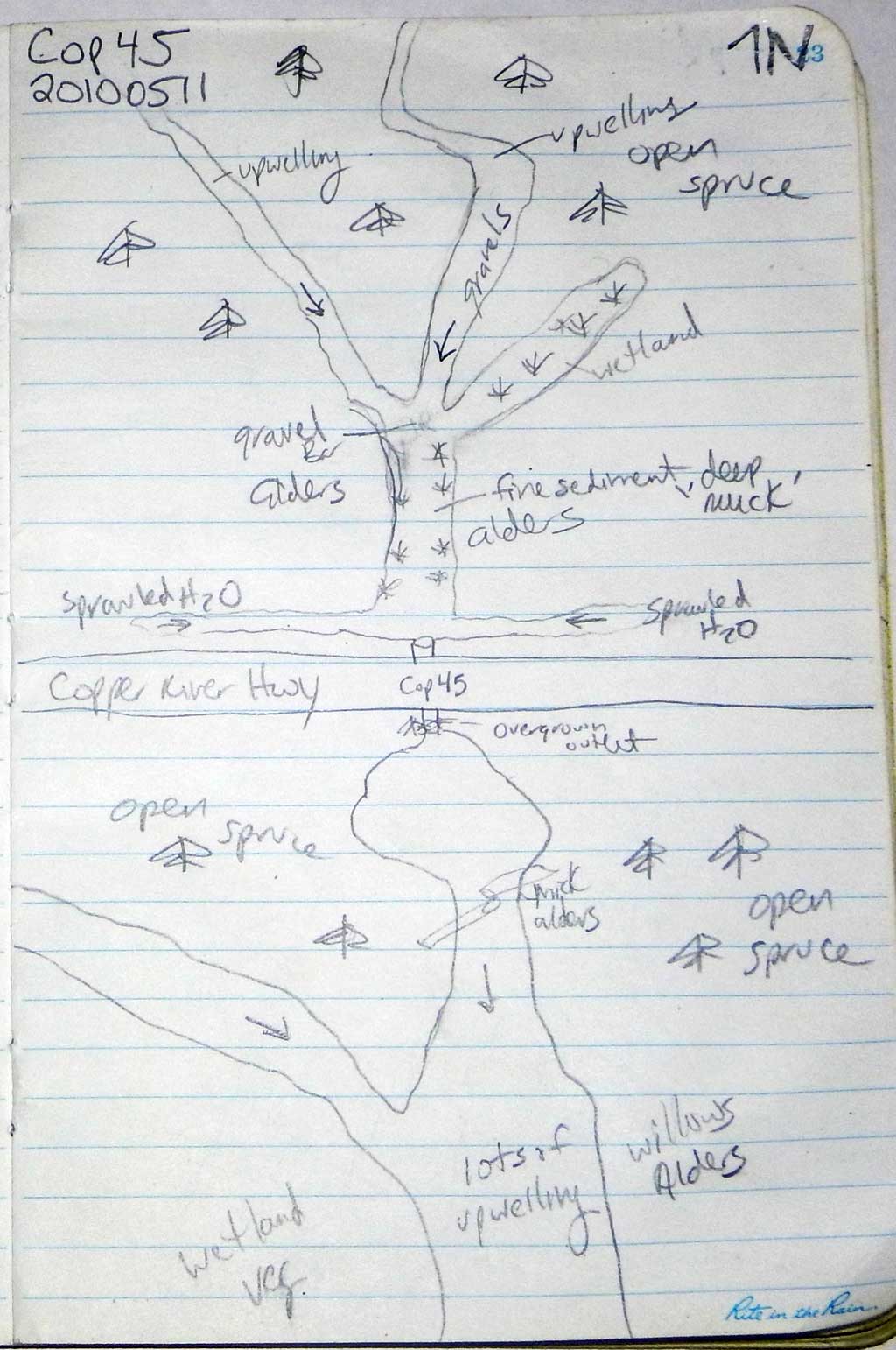
Survey CRWP17-Cop45
Observers: Kirsti Jurica, Hoots Witsoe
Overall Fish Passage Rating:
Tidal: No
Backwatered: No
Step Pools: No
Construction Year:
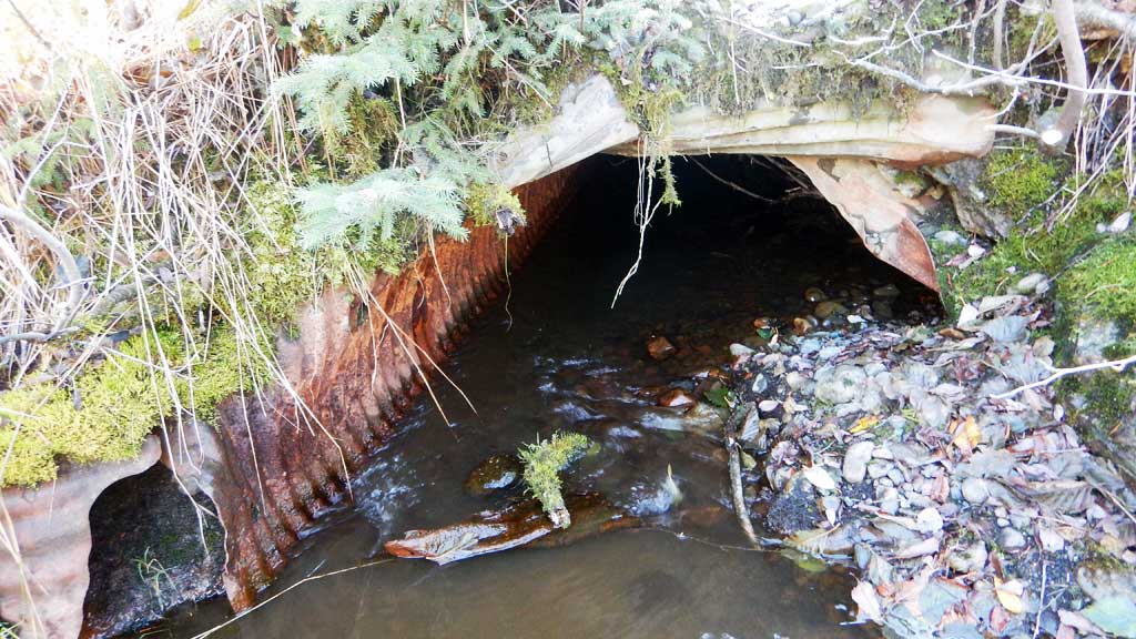
Site Observations:
- Culvert gradient red
- Constriction ratio red
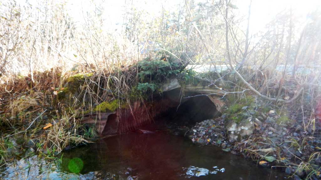
- Culvert is too short
- Shallow fill; inadequate roadfill volume above culvert
- Culvert sagging in middle
- Structural Problem
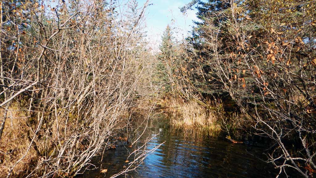
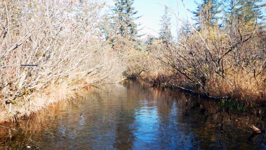
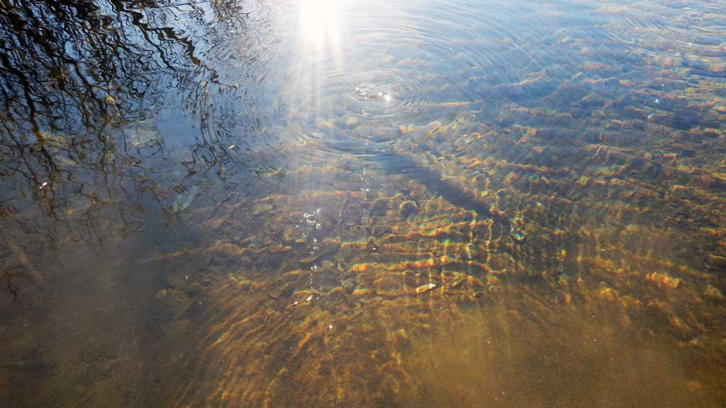
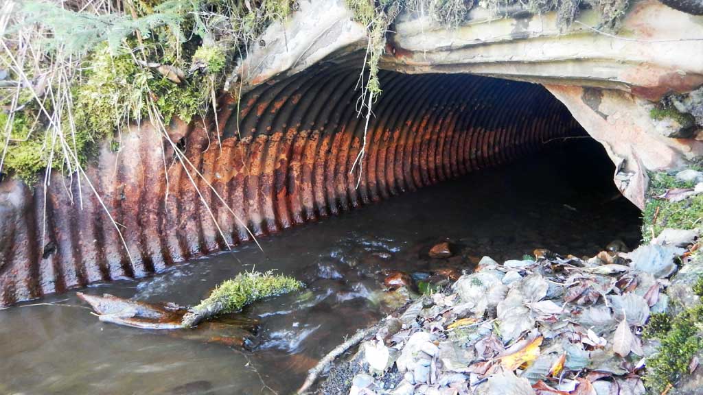
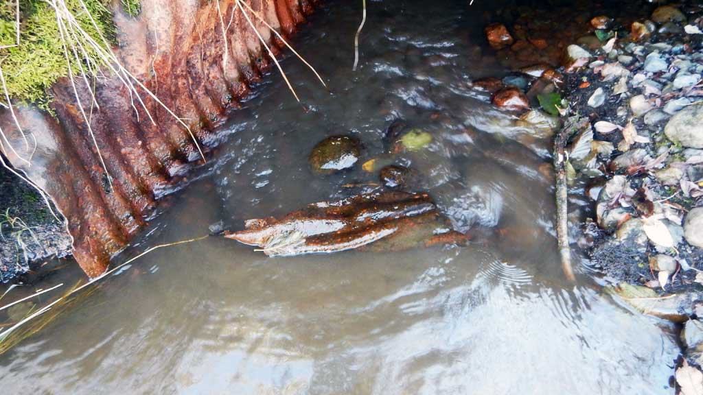
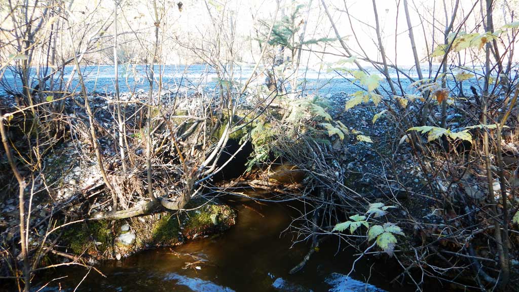
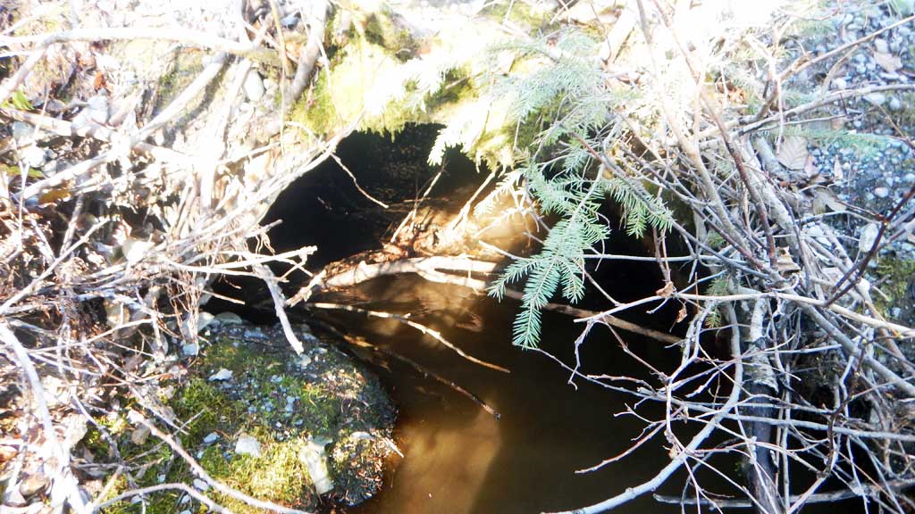
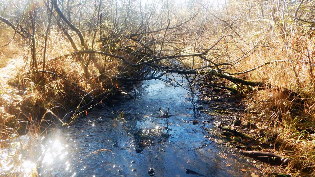
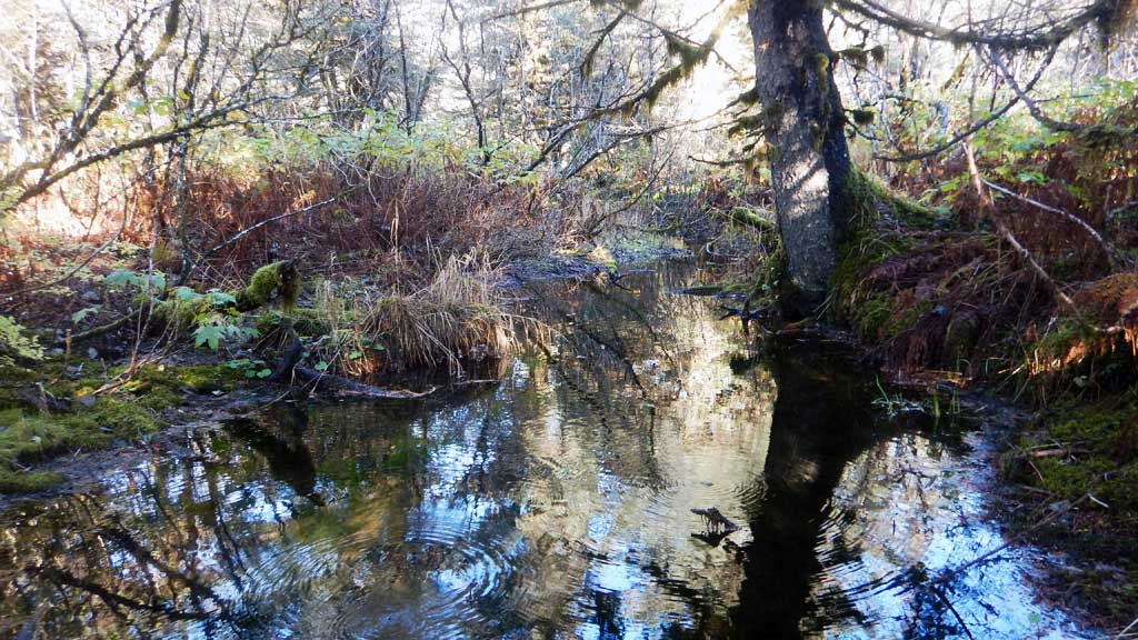
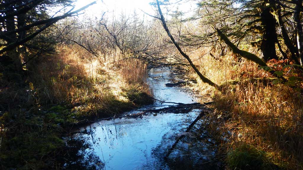
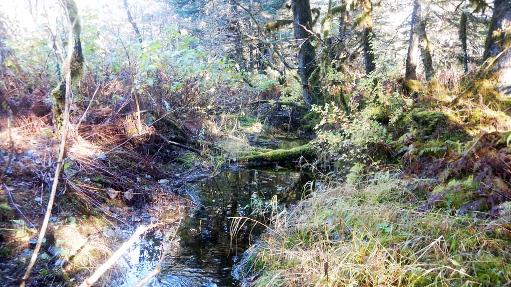
Comments: Culvert assessment performed and submitted by the Copper River Watershed Project. Spring fed system from Saddlebag system, lots of upwelling upstream and downstream from crossing. Numerous juvenile Coho salmon observed upstream.
Culvert Measurements
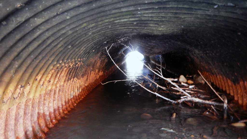
| ID: 1 | Structure Type: Circular pipe (Corrugated steel) | Fish Passage Rating: | |||||||||||||||||||||||||||||||||||||||||
|
|
|
|||||||||||||||||||||||||||||||||||||||||
Comments: Inlet and outlet damage, culvert looks squashed. Culvert shows significant signs of deterioration and a large dent/failure in the middle of pipe. Tops culverts damaged. Water surface gradient through culvert 0.26%, Top of culvert gradient 1.47%, but tops are damaged. Gradient calculated by substraction inlet substrate from IINV elevation. |
|||||||||||||||||||||||||||||||||||||||||||
Culvert Observations:
|
|||||||||||||||||||||||||||||||||||||||||||
Stream Measurements
|
|
No stream width data available.
Elevations
| Locator ID | Culvert Number |
River Distance (ft)1 |
Distance From Crossing (ft)2 |
Relative Elevation (ft) |
|---|---|---|---|---|
| Road Elev | 100.00 | |||
| D/S Thalweg | 0.00 | 95.59 | ||
| D/S Water Surface Elev | 0.00 | 96.78 | ||
| Outlet Culvert Top | 15.00 | 98.77 | ||
| Outlet Invert (on pipe) | 15.00 | 95.85 | ||
| D/S Water Surface Elev | 15.00 | 96.78 | ||
| Inlet Culvert Invert (on substrate) | 53.00 | 96.57 | ||
| Inlet Culvert Top | 53.00 | 99.33 | ||
| U/S Water Surface Elev | 53.00 | 96.88 | ||
| U/S Water Surface Elev | 63.00 | 96.99 | ||
| U/S Grade Ctrl (Thalweg) | 63.00 | 95.40 |
Notes:
- River distance is measured continuously throughout the survey reach along the thalweg of the stream.
- Measured from each end of the crossing along the thalweg of the stream.
Fish Sampling Efforts
| Gear Type: Minnow Trap (A) | Trap Duration(h): 3.0 | |
| Gear Type: Minnow Trap (B) | Trap Duration(h): 3.0 | |
Fish Observations
| Species: juvenile coho salmon | Life History: Anadromous | ||
| Total Fish Observed: 8 | Fish Measured: 8 | Fork Lengths (mm) Min: 45 Max: 85 Mean: 66 | |
| Collected/Observed by Gear Type: Not Recorded Minnow Trap (7) Not Recorded Minnow Trap (1) | |||
Photos

Questions or comments about this report can be directed to dfg.dsf.webmaster@alaska.gov