Fish Passage Site 20100476
Coordinates (dec. deg.): 60.47127°, -145.37404°
Legal Description: C016S001W22
Region: South Central
Road Name: Copper River Highway
Datum: NAD83
Quad Name / ITM: Cordova B-4
AWC Stream #:
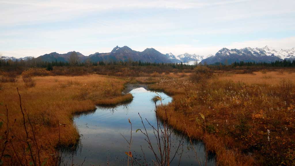
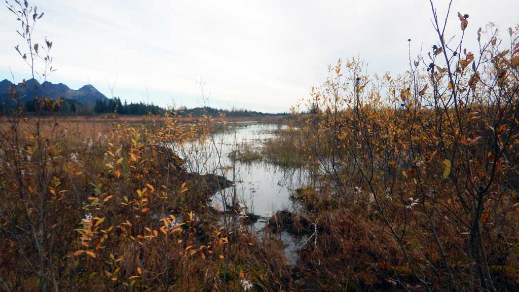
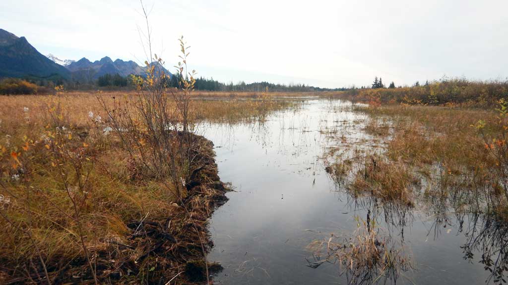
Stream Name: Glacier River Tributary
Elevation:
Site Comments: None
arrow to the right of the survey date below to choose a different report for this site.
Survey CRWP17-Cop10
Observers: Kirsti Jurica, Hoots Witsoe
Overall Fish Passage Rating:
Tidal: No
Backwatered: Yes
Step Pools: No
Construction Year:
Site Observations:
- Beaver Activity
- Mechanical damage or joints parting
- Structural Problem
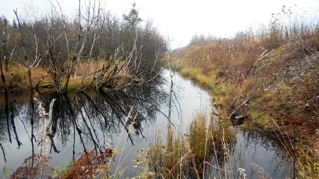
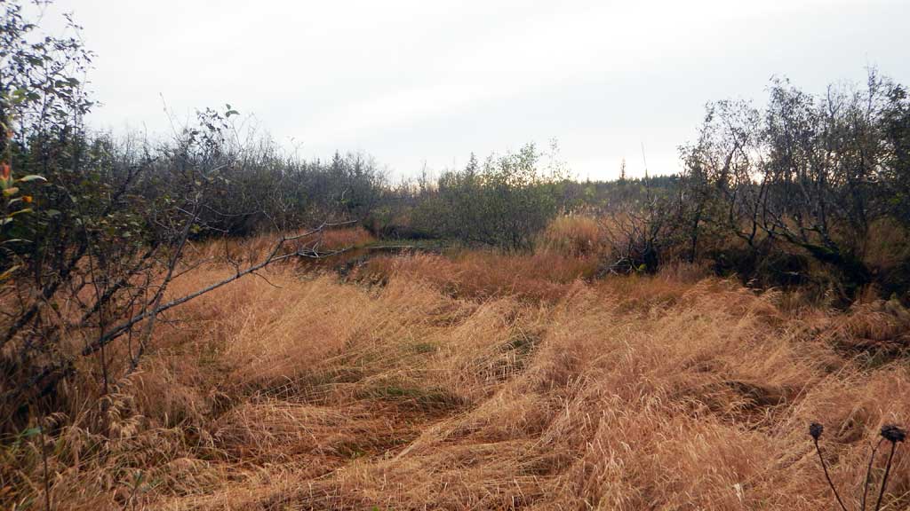
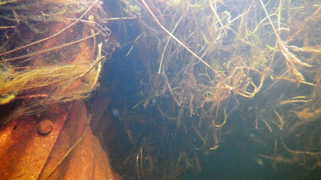
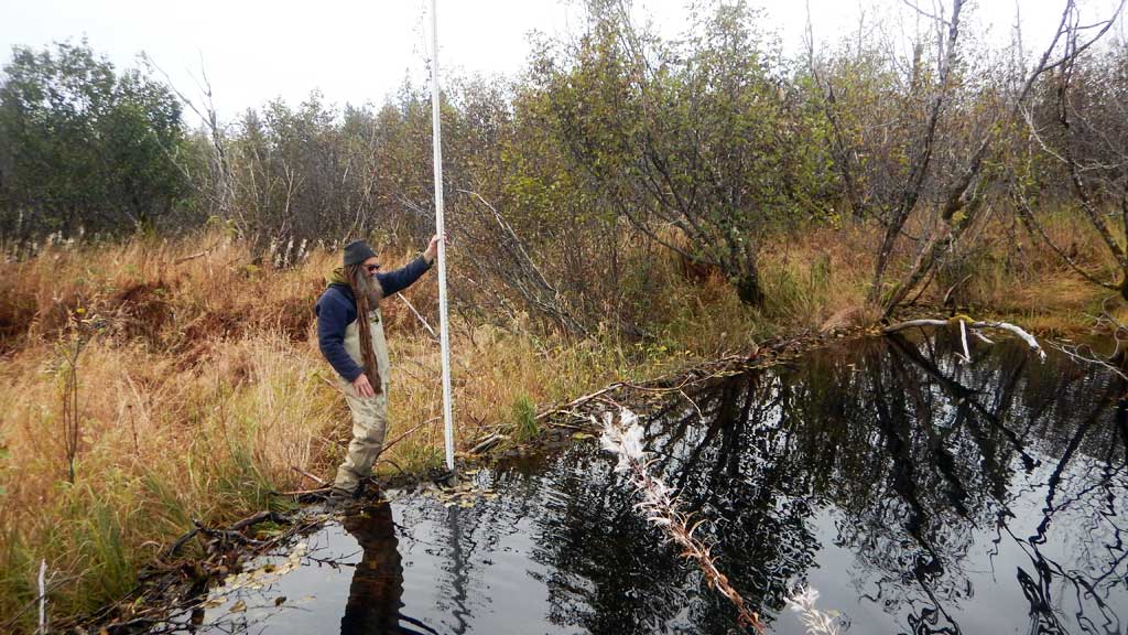
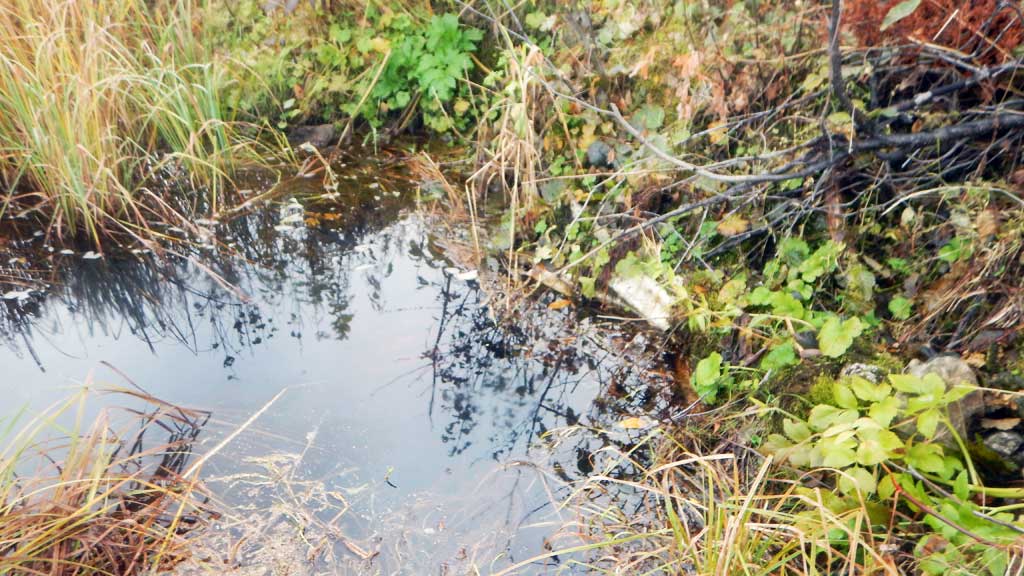
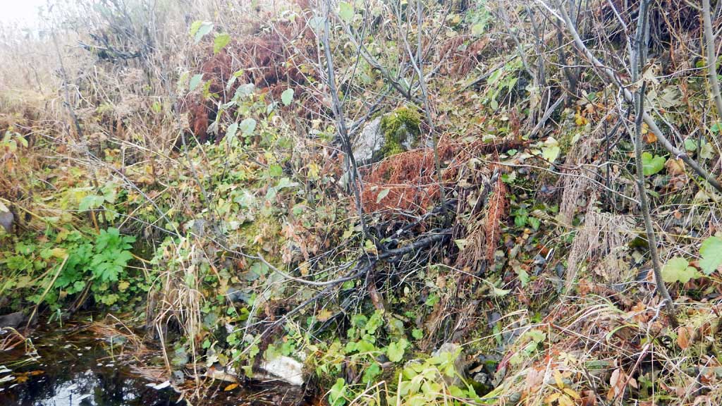
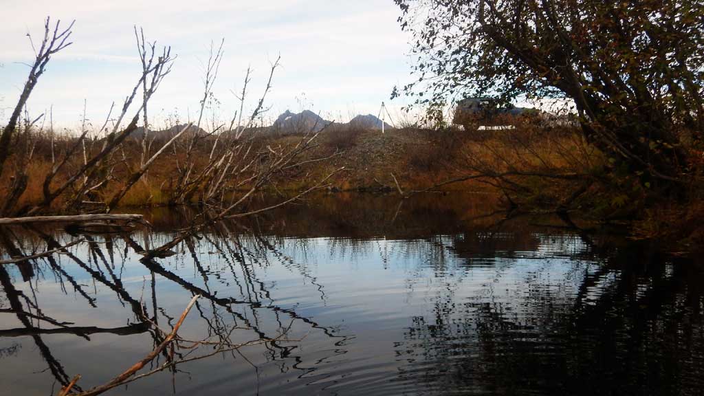
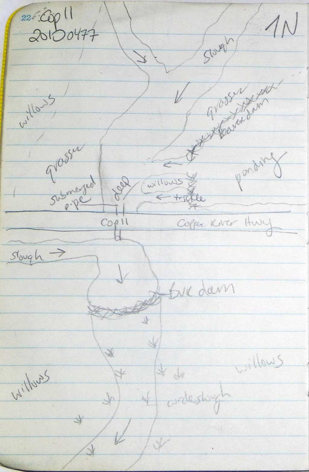
Comments: Culvert assessment performed and submitted by the Copper River Watershed Project. Upstream and downstream water surface elevation equal and downstream beaver dam is backwatering site, but 2002 survey showed significant inlet damage and inlet is now completely submerged and unable to verify culvert condition and if it is unobstructed. Culvert was completely submerged on inlet side and deep and buried on outlet side. Numerous three spine sticklebacks caught upstream and downstream. Beaver dams and pond complexes upstream and downstream of crossing.
Culvert Measurements
| ID: 1 | Structure Type: Circular pipe (Corrugated steel) | Fish Passage Rating: | |||||||||||||||||||||||||||||||||||||||||
|
|
|
|||||||||||||||||||||||||||||||||||||||||
Comments: Cuvlert gradient using top of culvert elevations and estimated length of 65 feet is 1.1%, using top of culvert elevations and using culvert length from 2011 (90') is 0.74% Unsure if top of culvert is damaged or not. Inlet and outlet hieghts calculated from survey elevations. |
|||||||||||||||||||||||||||||||||||||||||||
Culvert Observations:
|
|||||||||||||||||||||||||||||||||||||||||||
Stream Measurements
|
|
No stream width data available.
Elevations
| Locator ID | Culvert Number |
River Distance (ft)1 |
Distance From Crossing (ft)2 |
Relative Elevation (ft) |
|---|---|---|---|---|
| Road Elev | 100.00 | |||
| D/S Thalweg (Below beaver dam) | 0.00 | 85.58 | ||
| D/S Water Surface Elev | 0.00 | 87.38 | ||
| D/S Grade Ctrl (Thalweg) (Top of beaver dam) | 6.00 | 90.60 | ||
| Outlet Culvert Top | 70.00 | 90.19 | ||
| Outlet Invert (used distance over road (2002 survey had culvert at 97')) | 70.00 | 85.79 | ||
| D/S Water Surface Elev | 70.00 | 90.61 | ||
| Inlet Culvert Top | 135.00 | 90.91 | ||
| U/S Water Surface Elev | 135.00 | 90.61 | ||
| Inlet Culvert Invert | 135.00 | 85.90 | ||
| U/S Thalweg | 140.00 | 85.62 | ||
| U/S Water Surface Elev | 140.00 | 90.61 |
Notes:
- River distance is measured continuously throughout the survey reach along the thalweg of the stream.
- Measured from each end of the crossing along the thalweg of the stream.
Fish Sampling Efforts
| Gear Type: Minnow Trap (A) | Trap Duration(h): 18.0 | |
| Gear Type: Minnow Trap (B) | Trap Duration(h): 18.0 | |
| Gear Type: Minnow Trap (C) | Trap Duration(h): 18.0 | |
| Comments: No fish caught | ||
Fish Observations
| Species: stickleback-unspecified | Life History: Unknown | ||
| Total Fish Observed: 15 | Fish Measured: | Fork Lengths (mm) Min: Max: Mean: | |
| Collected/Observed by Gear Type: Not Recorded Minnow Trap (4) Not Recorded Minnow Trap (11) | |||
Photos
Questions or comments about this report can be directed to dfg.dsf.webmaster@alaska.gov