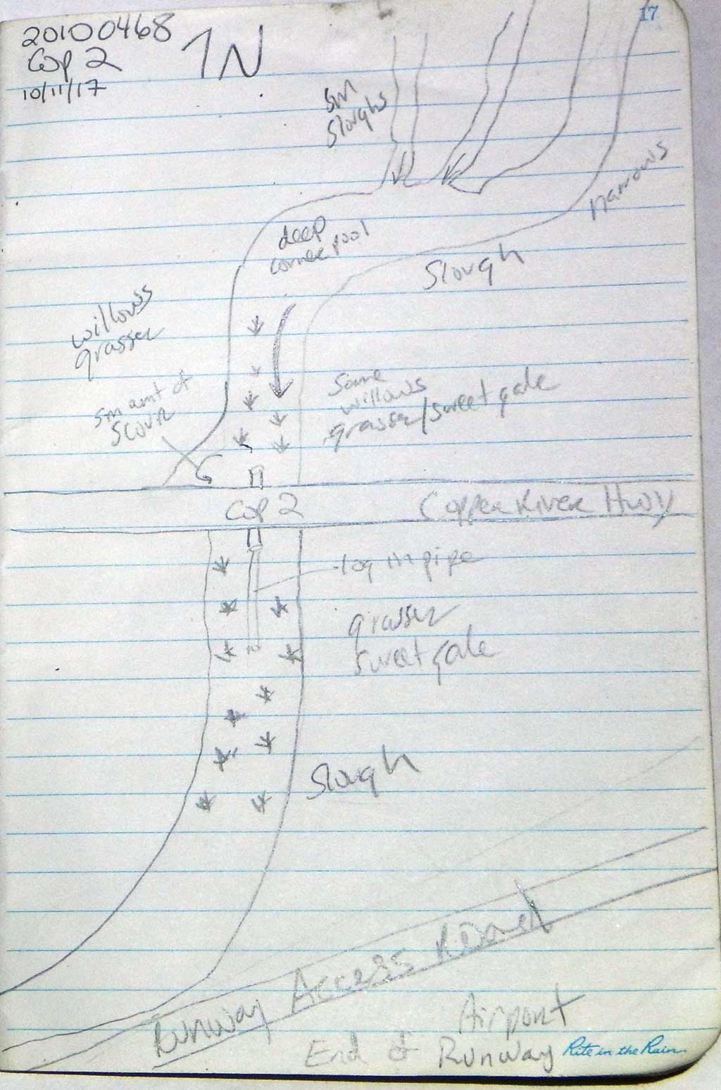
Fish Passage Site 20100468
Coordinates (dec. deg.): 60.48904°, -145.44949°
Legal Description: C016S001W08
Region: South Central
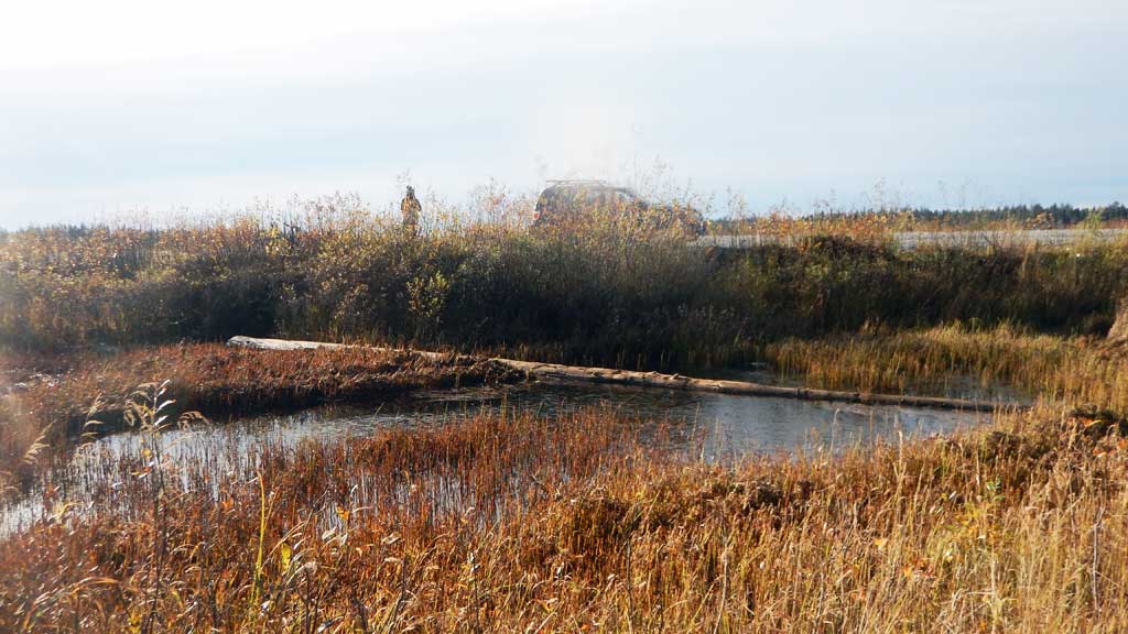
Road Name: Copper River Highway
Datum: NAD83
Quad Name / ITM: Cordova B-4
AWC Stream #:
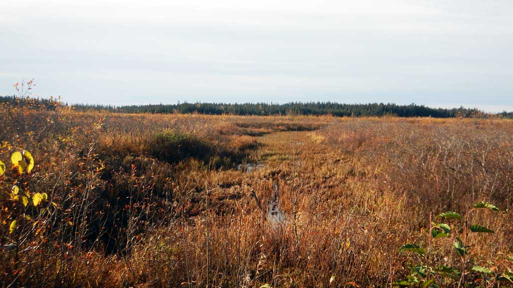
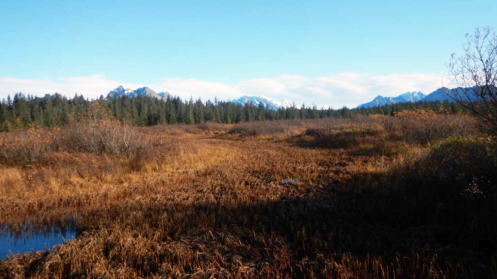
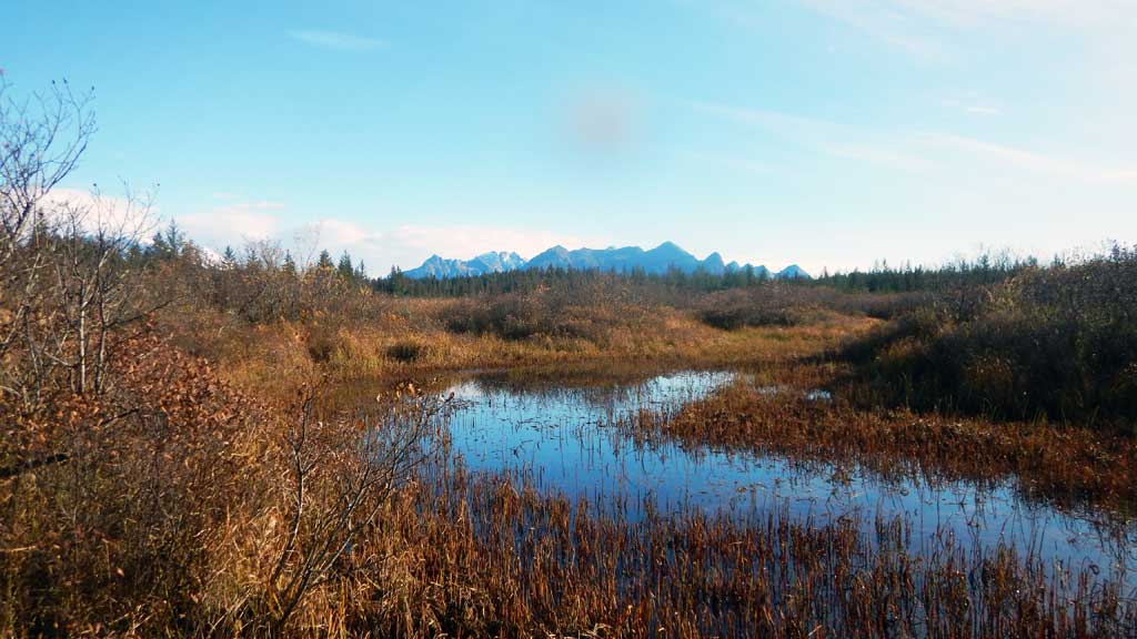
Stream Name: Unnamed
Elevation:
Site Comments: None
arrow to the right of the survey date below to choose a different report for this site.
Survey CRWP17-Cop2
Observers: Kirsti Jurica, Hoots Witsoe
Overall Fish Passage Rating:
Tidal: No
Backwatered: Yes
Step Pools: No
Construction Year:
Site Observations:
- Culvert gradient red
Comments: Numerous juvenile Coho salmon observed upstream.
Culvert Measurements
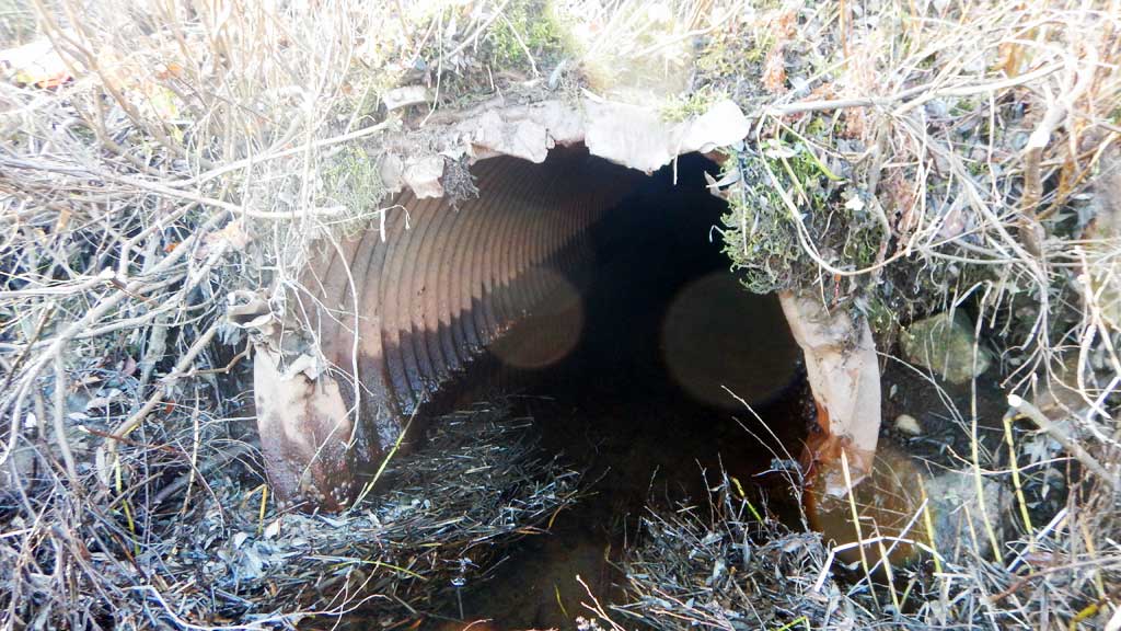
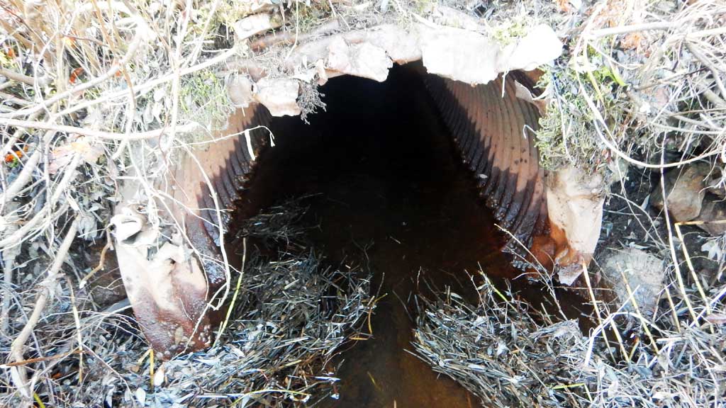
| ID: 1 | Structure Type: Circular pipe (Corrugated steel) | Fish Passage Rating: | |||||||||||||||||||||||||||||||||||||||||
|
|
|
|||||||||||||||||||||||||||||||||||||||||
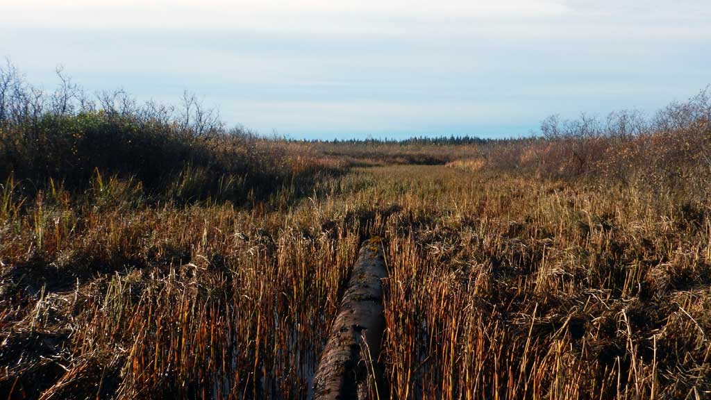
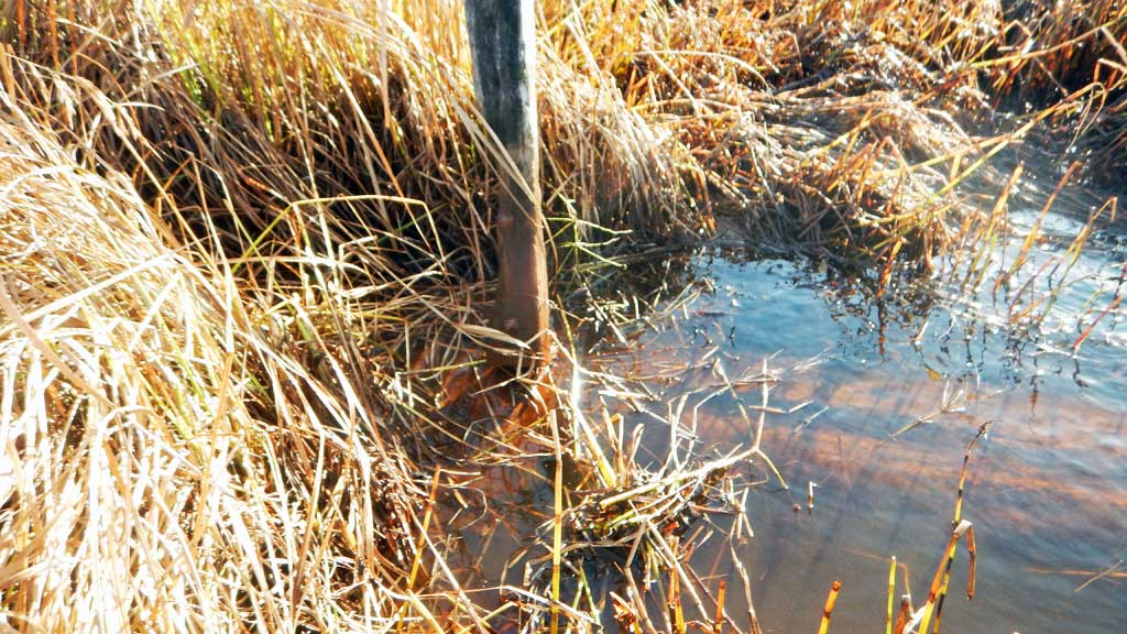
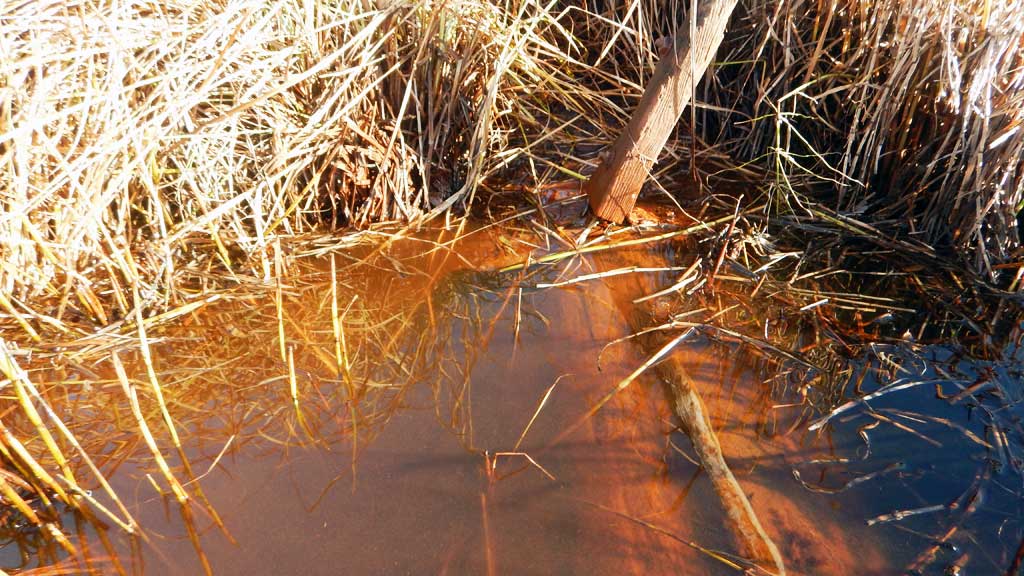
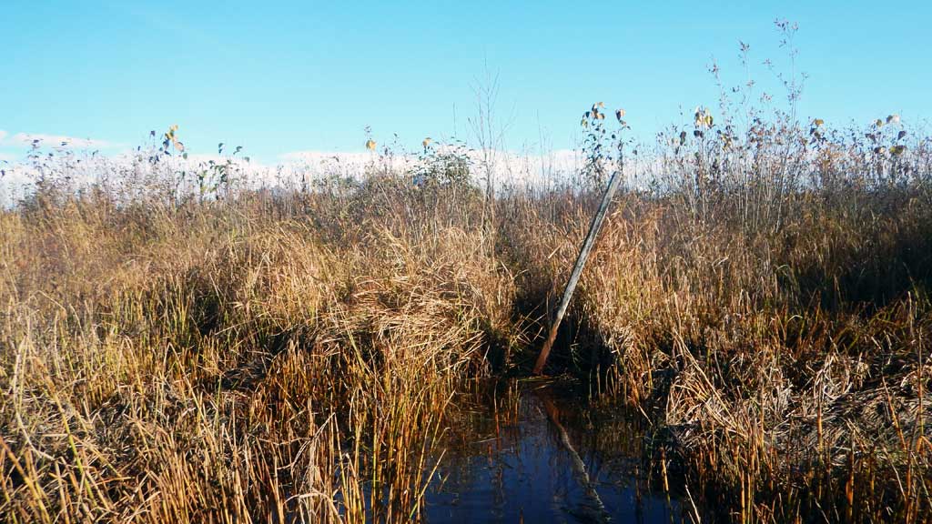
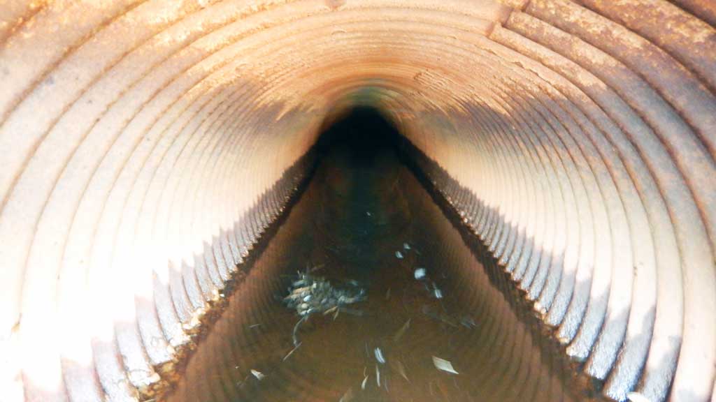
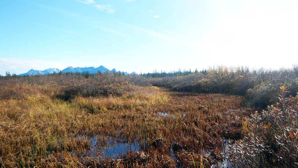
Comments: Culvert outlet fully submerged. There is a log in the culvert outlet, maybe a DOT reaming long for removing debris? Unable to obtain accurate outlet measurements with the log in the way. Stream widths over exaggerated due to the site being a side slough and the channel is filling in with vegitation. Constriction ration not taken into account. Water surface elevations within 0.02 of each other site is backwatered and water slow moving through crossing. However log in outlet and culvert condition shouild be taken into account for this site. Inlet damage. |
|||||||||||||||||||||||||||||||||||||||||||
Culvert Observations:
|
|||||||||||||||||||||||||||||||||||||||||||
Stream Measurements
|
|
| Stream Width Type | Distance From Crossing (ft) |
Stream Width (ft) |
|---|---|---|
| Upstream ordinary high water | 27.00 | |
| Upstream ordinary high water | 31.50 | |
| Upstream ordinary high water | 35.00 |
Elevations
| Locator ID | Culvert Number |
River Distance (ft)1 |
Distance From Crossing (ft)2 |
Relative Elevation (ft) |
|---|---|---|---|---|
| Road Elev | 100.00 | |||
| D/S Thalweg (Slough) | 0.00 | 91.43 | ||
| D/S Water Surface Elev | 0.00 | 93.61 | ||
| D/S Water Surface Elev | 11.00 | 93.61 | ||
| Outlet Invert (on substrate) | 11.00 | 91.01 | ||
| Outlet Culvert Top | 11.00 | 93.67 | ||
| Inlet Culvert Top (inlet damage) | 118.00 | 95.84 | ||
| Inlet Culvert Invert (on substrate) | 118.00 | 92.54 | ||
| U/S Water Surface Elev | 118.00 | 93.63 | ||
| U/S Water Surface Elev | 129.00 | 93.63 | ||
| U/S Grade Ctrl (Thalweg) | 129.00 | 91.44 |
Notes:
- River distance is measured continuously throughout the survey reach along the thalweg of the stream.
- Measured from each end of the crossing along the thalweg of the stream.
Fish Sampling Efforts
| Gear Type: Minnow Trap (A) | Trap Duration(h): 3.0 | |
| Gear Type: Minnow Trap (B) | Trap Duration(h): 3.0 | |
Fish Observations
| Species: juvenile coho salmon | Life History: Anadromous | ||
| Total Fish Observed: 13 | Fish Measured: 4 | Fork Lengths (mm) Min: 65 Max: 80 Mean: 70 | |
| Collected/Observed by Gear Type: Not Recorded Minnow Trap (5) Not Recorded Minnow Trap (8) | |||
Photos
Questions or comments about this report can be directed to dfg.dsf.webmaster@alaska.gov