Fish Passage Site 10303920
Coordinates (dec. deg.): 59.28860°, -135.68854°
Legal Description: C030S058E08
Region: Southeast
Road Name: Haines Highway
Datum: NAD83
Quad Name / ITM: Skagway B-2
AWC Stream #: 115-32-10250-2030-3008
Stream Name: 10.5 Mile Creek
Elevation:
Site Comments: None
Survey UPDATE-HHY01
Project Supervisor: Gillian O'Doherty, ADFG
Observers: Dylan Krull
Overall Fish Passage Rating:
Tidal:
Backwatered:
Step Pools:
Construction Year:
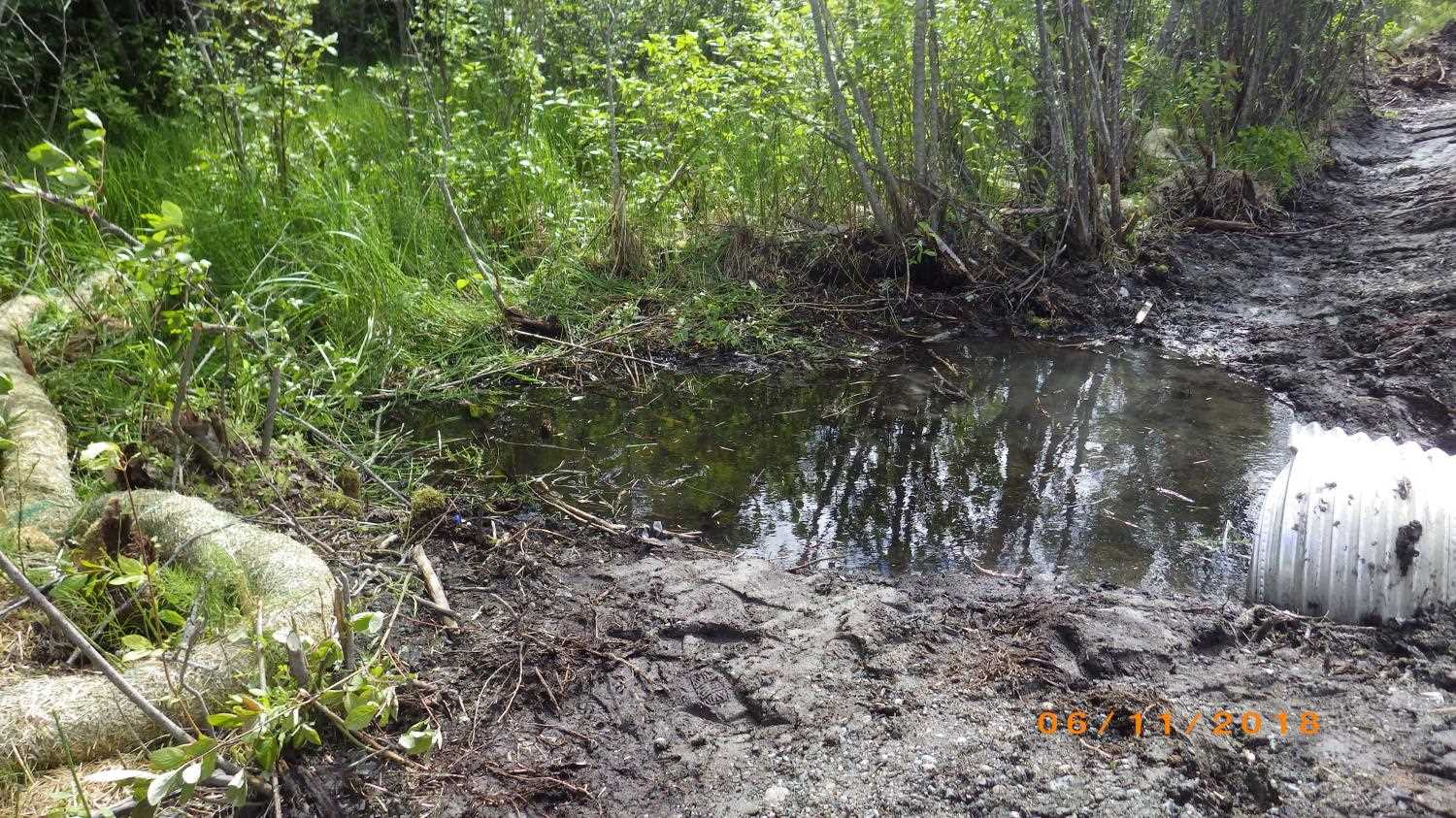
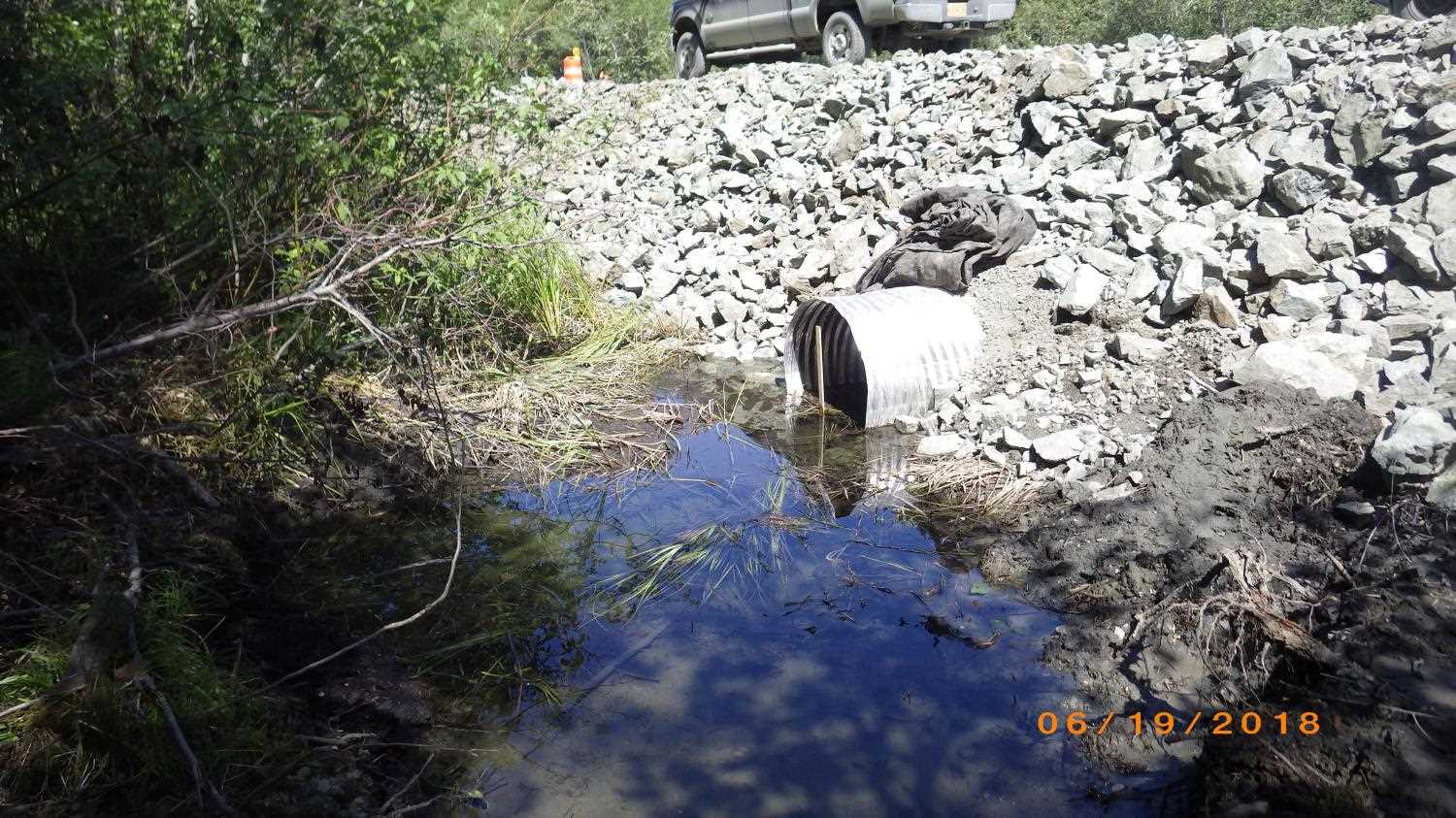
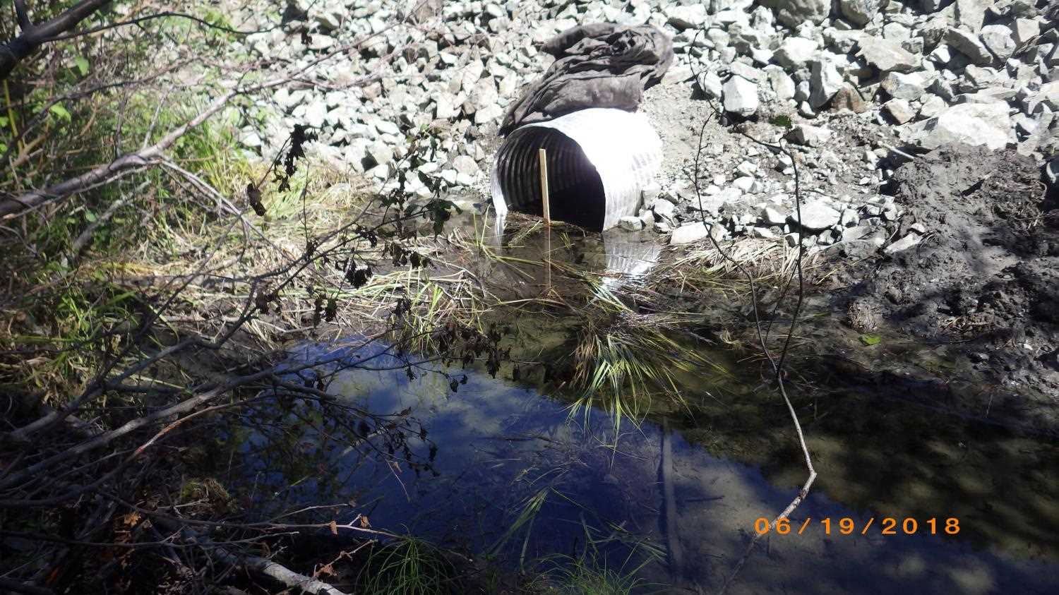
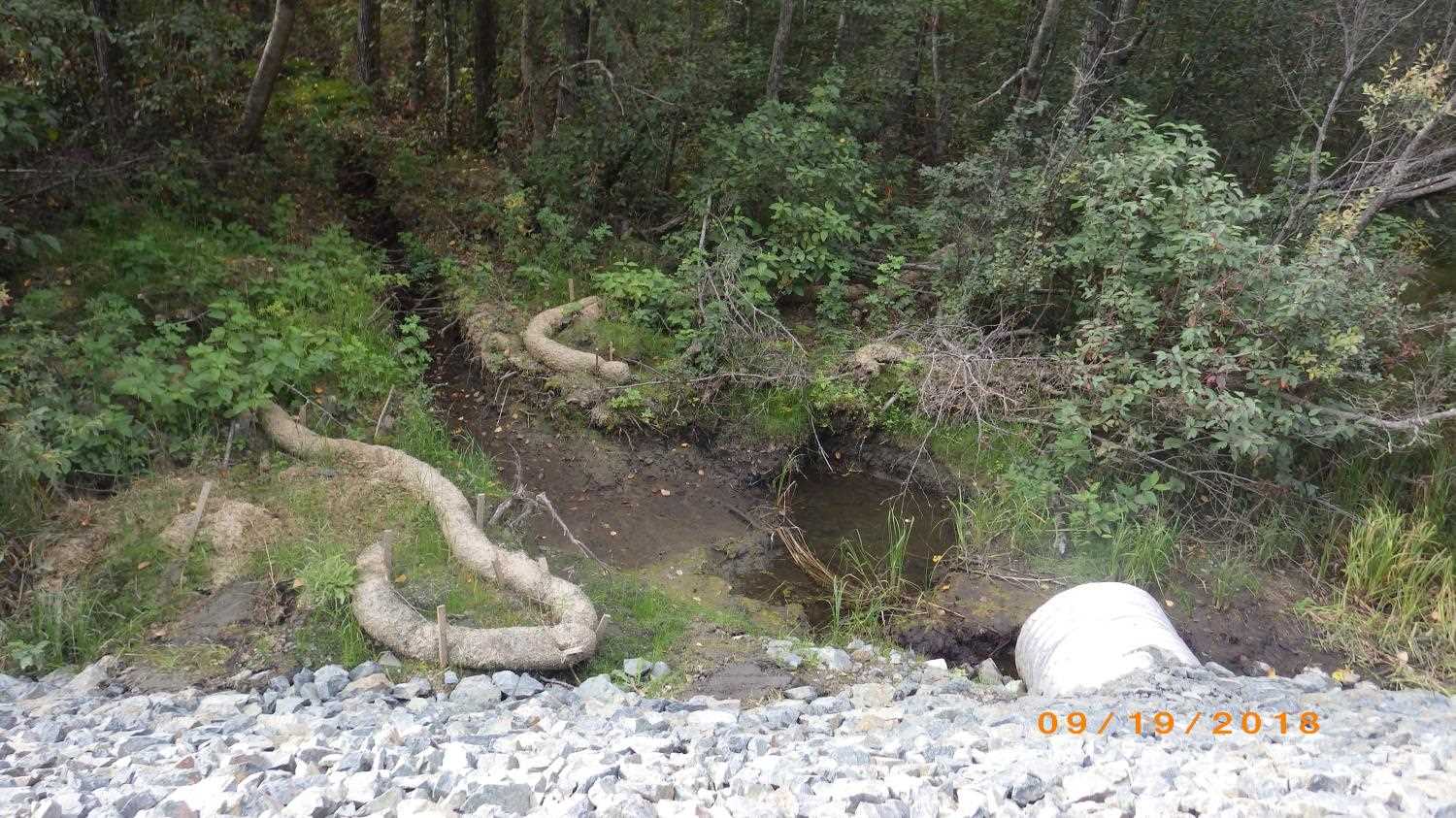
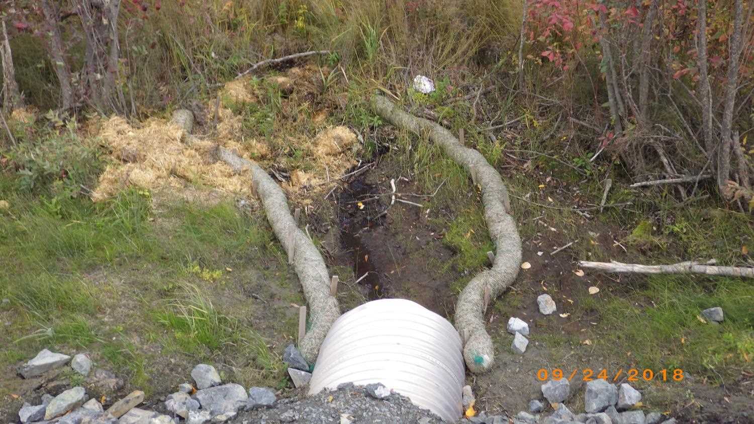
Comments: Update and photos submitted by ADFG HB Dylan Krull. This culvert was replaced as part of Haines Highway reconstruction project Phase I under fish habitat permit FH17-I-0128. This culvert was not surveyed as part of the original Haines area assessments. As part of the installation a constructed channel was built downstream.
Culvert Measurements
| ID: 1 | Structure Type: Circular pipe (Corrugated aluminum) | Fish Passage Rating: | |||||||||||||||||||||||||||||||||||||||||
|
|
|
|||||||||||||||||||||||||||||||||||||||||
Comments: Culvert measurments taken from trip report and have not been verified by project staff. Culvert length 78 ft. Culvert diameter 3 ft. |
|||||||||||||||||||||||||||||||||||||||||||
Stream Measurements
|
|
No stream width data available.
Elevations
No elevation data available.
Fish Sampling Efforts
No fish sampling occurred during this survey.
Fish Observations
No fish observations occurred during this survey.
Photos
Questions or comments about this report can be directed to dfg.dsf.webmaster@alaska.gov