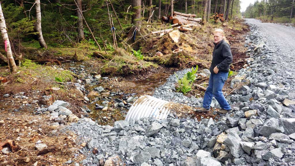
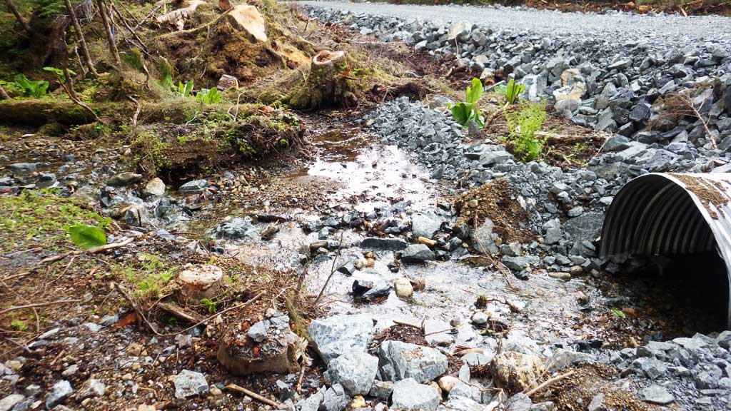
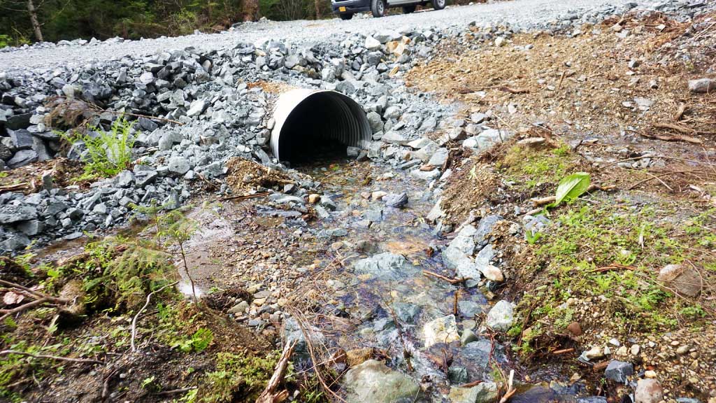
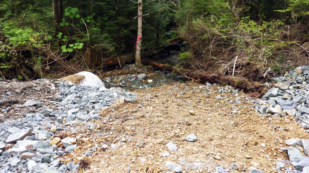
Fish Passage Site 10303785
Coordinates (dec. deg.): 58.26630°, -134.63080°
Legal Description: C041S066E33
Region: Southeast
Road Name: North Douglas Pioneer Road
Datum: NAD83
Quad Name / ITM: Juneau B-2
AWC Stream #:
Stream Name: Unnamed
Elevation:
Site Comments: Station 143+51
Survey UPDATE-DPR03
Project Supervisor: Gillian O'Doherty, ADFG
Observers: Gregory Albrecht
Overall Fish Passage Rating:
Tidal: No
Backwatered: No
Step Pools:
Construction Year: 2018
Comments: All information and photos provided by ADFG Habitat Biologist Greg Albrecht.
Culvert Measurements
| ID: 1 | Structure Type: Circular pipe | Fish Passage Rating: | |||||||||||||||||||||||||||||||||||||||||
|
|
|
|||||||||||||||||||||||||||||||||||||||||
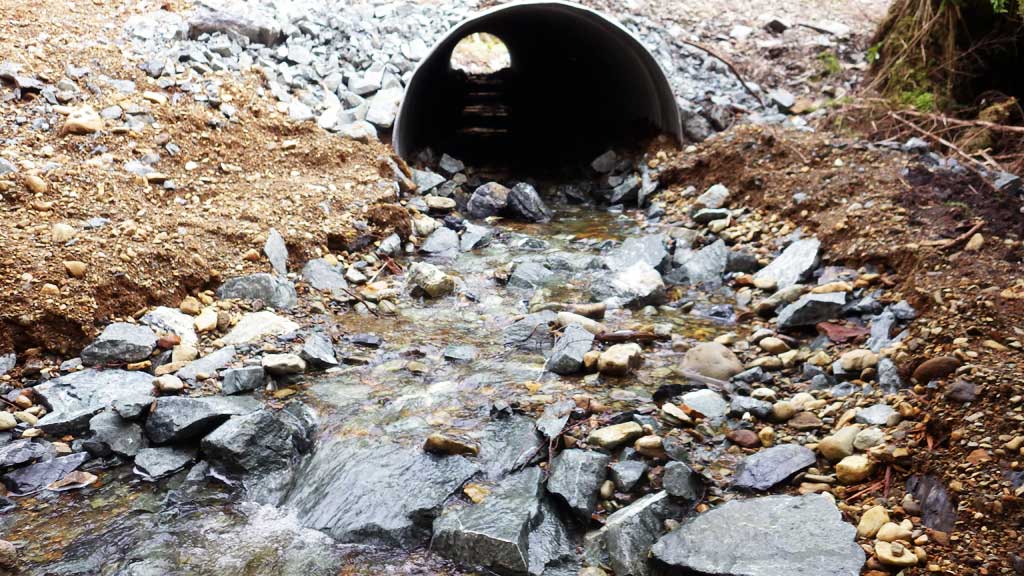
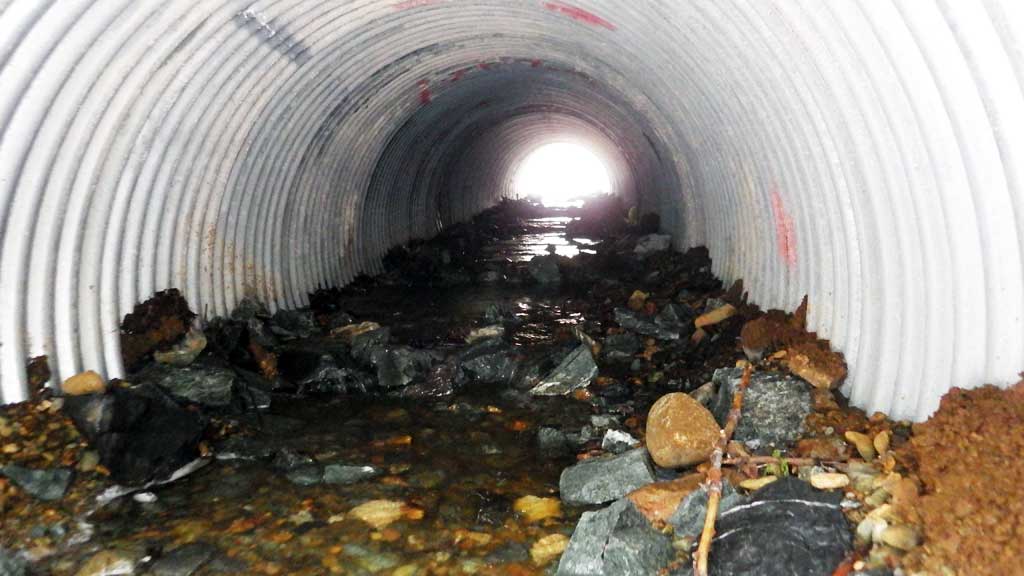
Comments: All culvert information taken from habitat permit and has not been verified. Culvert has sediement retention baffles installed. Culvert width 5 ft, culvert height 3.3 ft to top of substrate, substrate depth 1.6 ft. Culvert length 55 ft. Culvert slope 4.9%. |
|||||||||||||||||||||||||||||||||||||||||||
Stream Measurements
|
|
No stream width data available.
Elevations
No elevation data available.
Fish Sampling Efforts
No fish sampling occurred during this survey.
Fish Observations
No fish observations occurred during this survey.
Photos


Questions or comments about this report can be directed to dfg.dsf.webmaster@alaska.gov