Fish Passage Site 10303488
Coordinates (dec. deg.): 58.41254°, -135.77542°
Legal Description: C040S058E13
Region: Southeast
Road Name: Dickey Drive
Datum: NAD83
Quad Name / ITM: Juneau B-6
AWC Stream #: 114-23-10070-2009
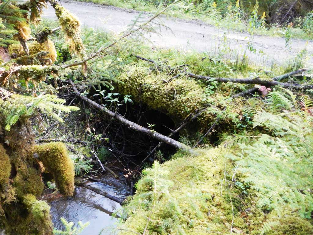
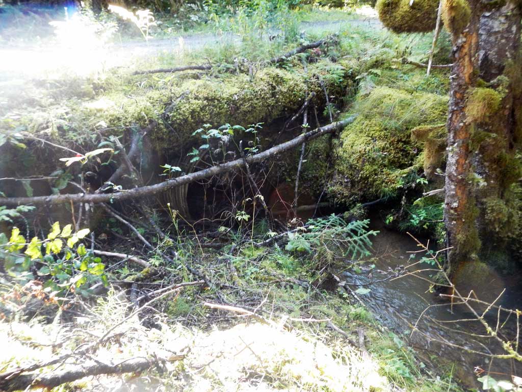
Stream Name: Crane Flats Creek
Elevation:
Site Comments: None
arrow to the right of the survey date below to choose a different report for this site.
Survey UPDATE-DID01
Project Supervisor: Gillian O'Doherty, ADFG
Observers: Mark Eisenman
Overall Fish Passage Rating:
Tidal:
Backwatered:
Step Pools:
Construction Year:
Site Observations:
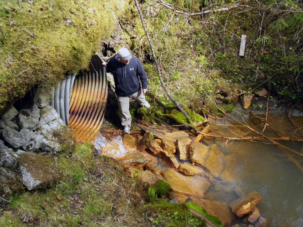
- Outfall height red
Comments: Site information and photos submitted by John Hudson USFWS. This site is slated to be replaced with a bridge in 2016 or 2017.
Culvert Measurements
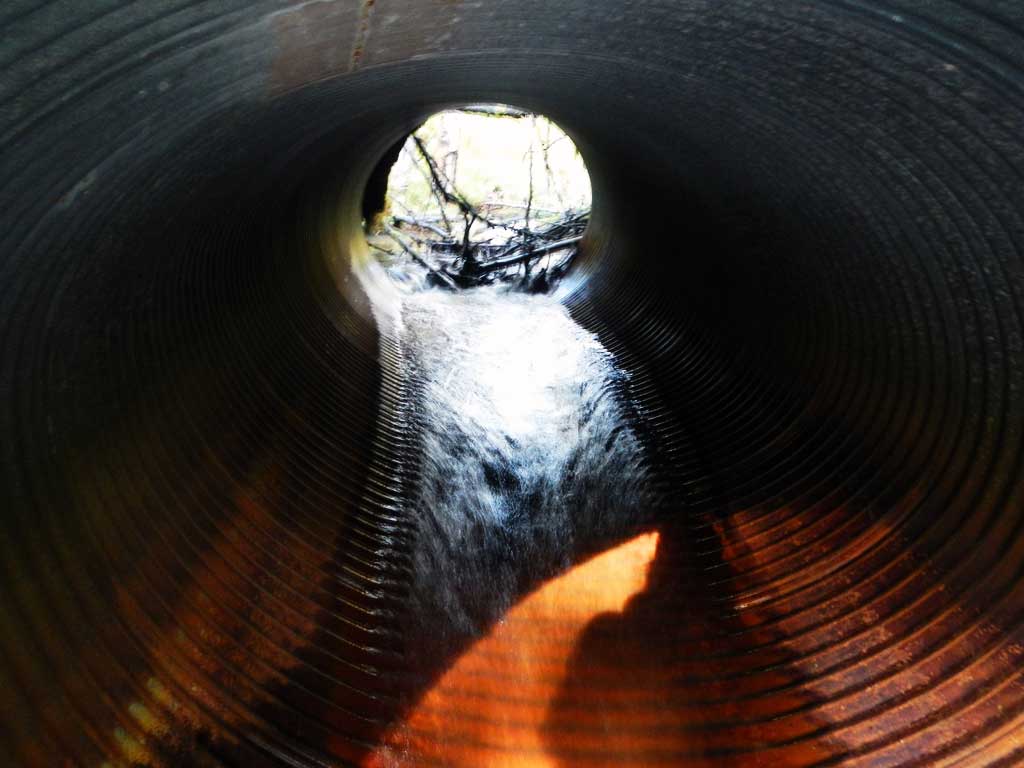
| ID: 1 | Structure Type: Circular pipe (Corrugated steel) | Fish Passage Rating: | |||||||||||||||||||||||||||||||||||||||||
|
|
|
|||||||||||||||||||||||||||||||||||||||||
Comments: Outfall hieght estimated from photos. Culvert measurements taken from replacement plans. Culvert is slated to be removed and replaced with a bridge in 2016-17. |
|||||||||||||||||||||||||||||||||||||||||||
Culvert Observations:
|
|||||||||||||||||||||||||||||||||||||||||||
Stream Measurements
|
|
No stream width data available.
Elevations
No elevation data available.
Fish Sampling Efforts
No fish sampling occurred during this survey.
Fish Observations
No fish observations occurred during this survey.
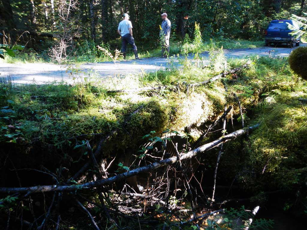
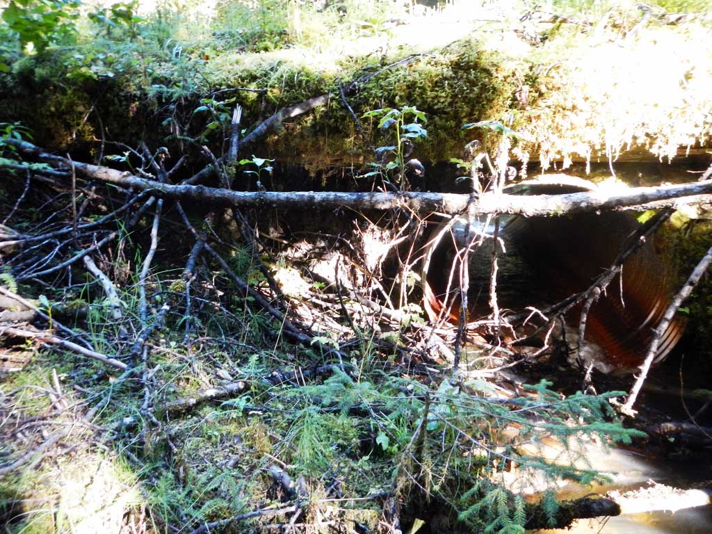
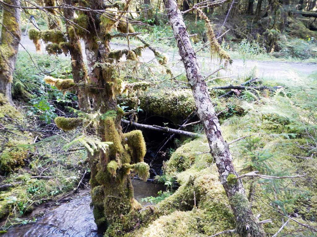
Photos

Questions or comments about this report can be directed to dfg.dsf.webmaster@alaska.gov