Fish Passage Site 10303475
Coordinates (dec. deg.): 58.41153°, -135.76587°
Legal Description: C040S058E13
Region: Southeast
Road Name: Grandpa's Farm Road
Datum: NAD83
Quad Name / ITM: Juneau B-6
AWC Stream #: 114-23-10070-2008
Stream Name: Unnamed Tributary to Good River
Elevation:
Site Comments: Site is downstream from 10302257 (Good River Road)
arrow to the right of the survey date below to choose a different report for this site.
Survey UPDATE-GPR01
Project Supervisor: Gillian O'Doherty, ADFG
Observers: Mark Eisenman
Overall Fish Passage Rating:
Tidal:
Backwatered:
Step Pools:
Construction Year:
Comments: Site submitted by John Hudson (USFWS). Site is scheduled to be replaced with a bridge.
Culvert Measurements
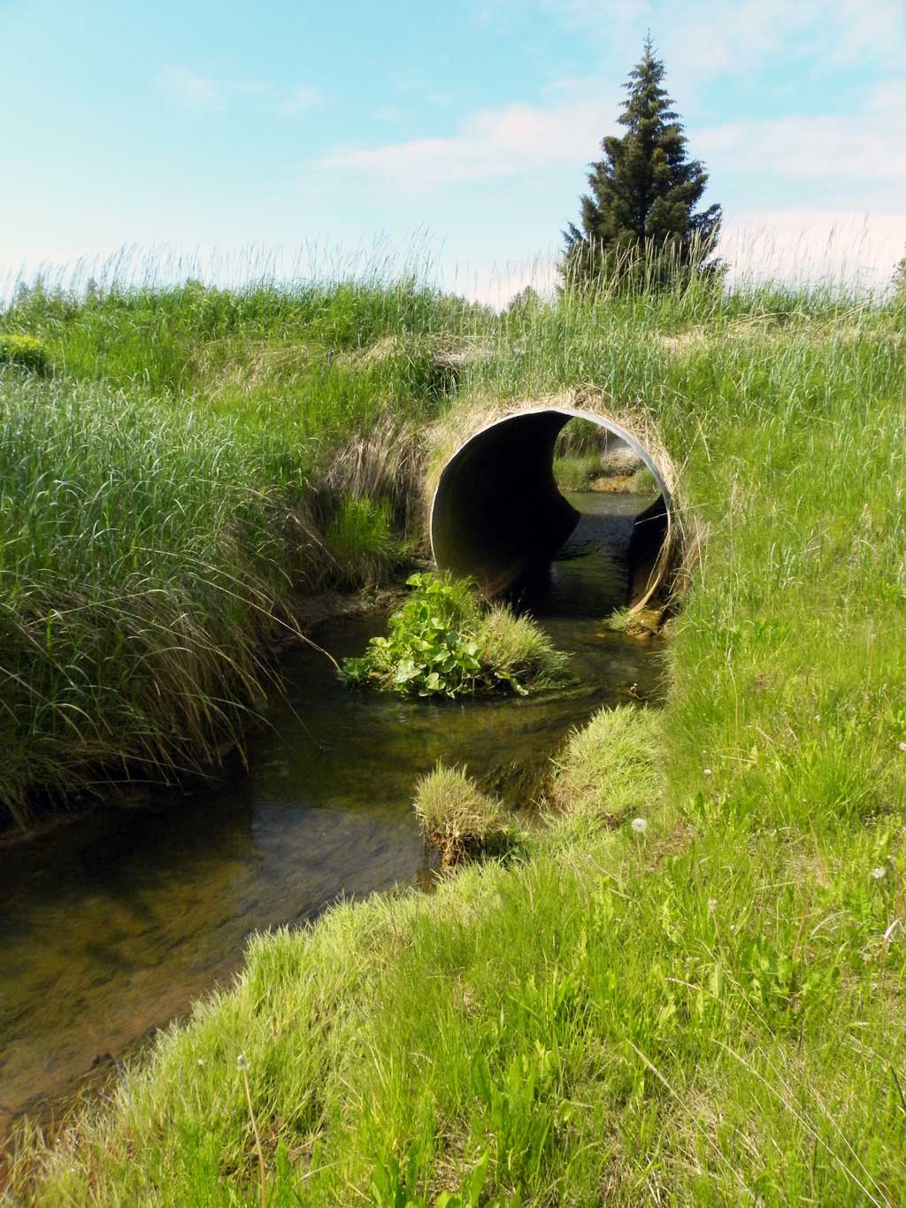
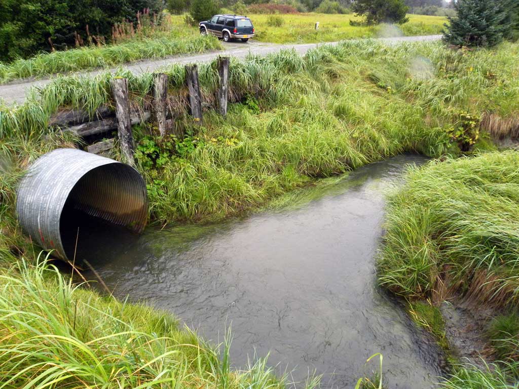
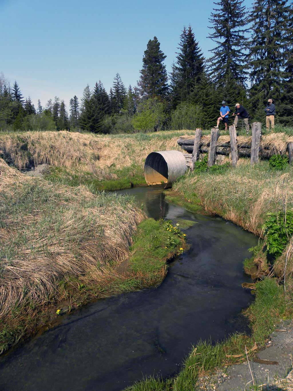
| ID: 1 | Structure Type: Circular pipe (Corrugated steel) | Fish Passage Rating: | |||||||||||||||||||||||||||||||||||||||||
|
|
|
|||||||||||||||||||||||||||||||||||||||||
Stream Measurements
|
|
No stream width data available.
Elevations
No elevation data available.
Fish Sampling Efforts
No fish sampling occurred during this survey.
Fish Observations
No fish observations occurred during this survey.
Photos
Questions or comments about this report can be directed to dfg.dsf.webmaster@alaska.gov