Fish Passage Site 10303474
Coordinates (dec. deg.): 58.36950°, -134.62201°
Legal Description: C040S065E26
Region: Southeast
Road Name: Peterson Street
Datum: NAD83
Quad Name / ITM: Juneau B-2
AWC Stream #: 111-50-10490-2013
Stream Name: Peterson Hill Creek
Elevation:
Site Comments: None
Survey UPDATE-PETE1
Project Supervisor: Gillian O'Doherty, ADFG
Observers: Mark Eisenman
Overall Fish Passage Rating:
Tidal:
Backwatered:
Step Pools:
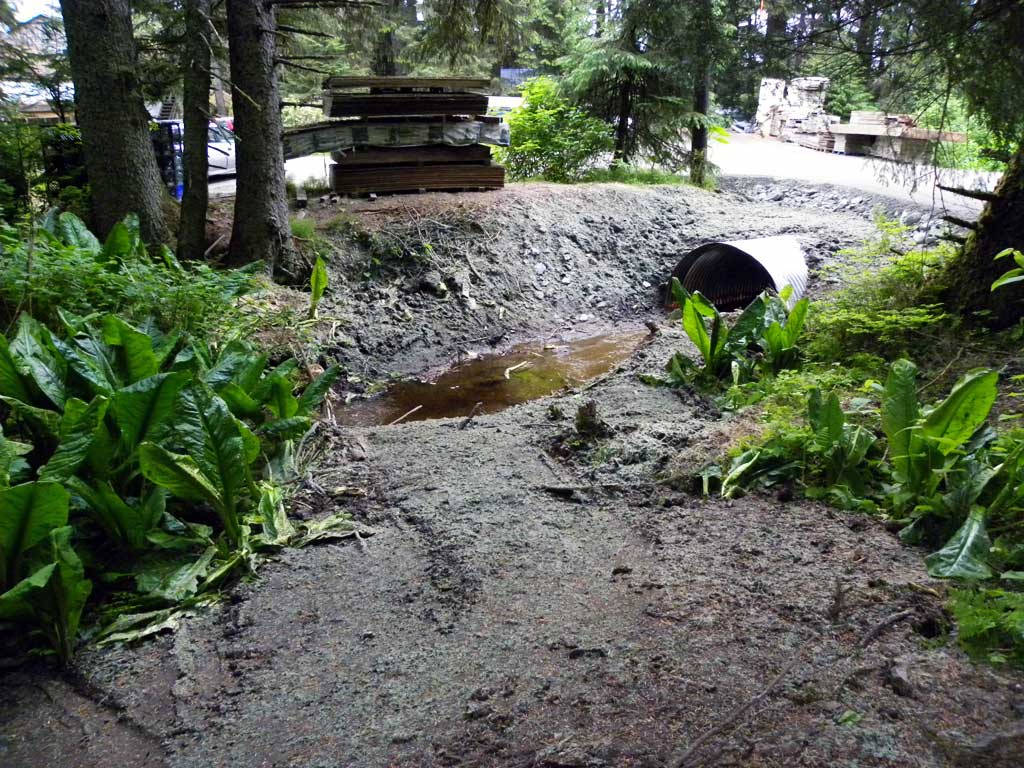
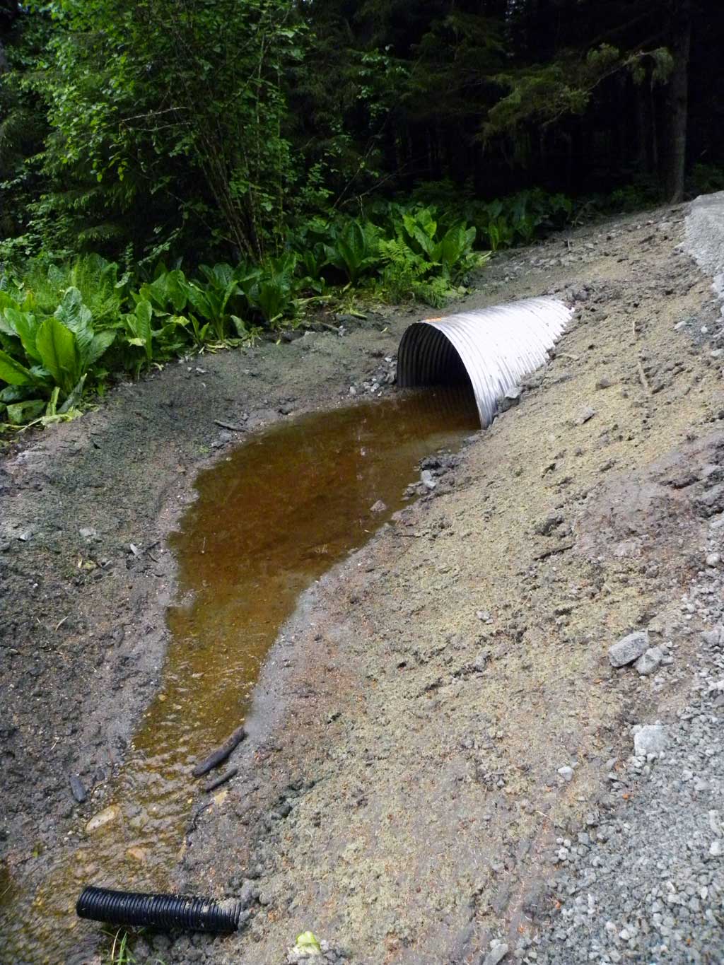
Construction Year: 2016
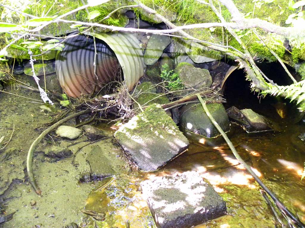
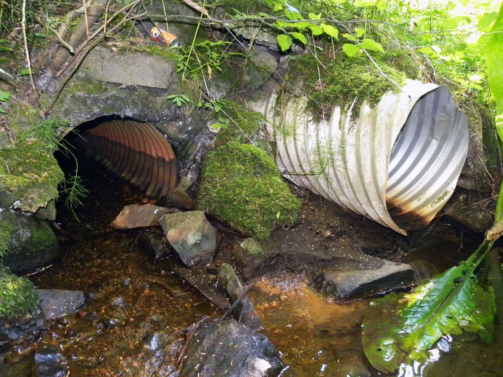
Comments: Site submitted by John Hudson (USFWS) Culvert replaced May 2016. Creek runs through a culvert on private property and is about 1000 feet downstream from site 10302976 on Engineer's Cutoff Road.
Culvert Measurements
| ID: 1 | Structure Type: Pipe-arch (Corrugated aluminum) | Fish Passage Rating: | |||||||||||||||||||||||||||||||||||||||||
|
|
|
|||||||||||||||||||||||||||||||||||||||||
Comments: All measurements taken from site plans and have not been verified by project personell. Culvert width 7.9 ft. Culvert height 4 ft. Substrate depth 1.75ft. Culvert length 52 ft. Culvert gradient 1.33 ft. |
|||||||||||||||||||||||||||||||||||||||||||
Stream Measurements
|
|
No stream width data available.
Elevations
No elevation data available.
Fish Sampling Efforts
No fish sampling occurred during this survey.
Fish Observations
No fish observations occurred during this survey.
Photos
Questions or comments about this report can be directed to dfg.dsf.webmaster@alaska.gov