Fish Passage Site 10303467
Coordinates (dec. deg.): 58.36340°, -134.49360°
Legal Description: C040S066E34
Region: Southeast
Road Name: Trail
Datum: NAD83
Quad Name / ITM: Juneau B-2
AWC Stream #: 111-40-10070-2020
Stream Name: Unnamed Tributary to Switzer Creek
Elevation:
Site Comments: Culverts are on trail just off of Mountain Avenue
arrow to the right of the survey date below to choose a different report for this site.
Survey UPDATE-TRL01
Project Supervisor: Gillian O'Doherty, ADFG
Observers: Mark Eisenman
Overall Fish Passage Rating:
Tidal:
Backwatered:
Step Pools:
Construction Year:
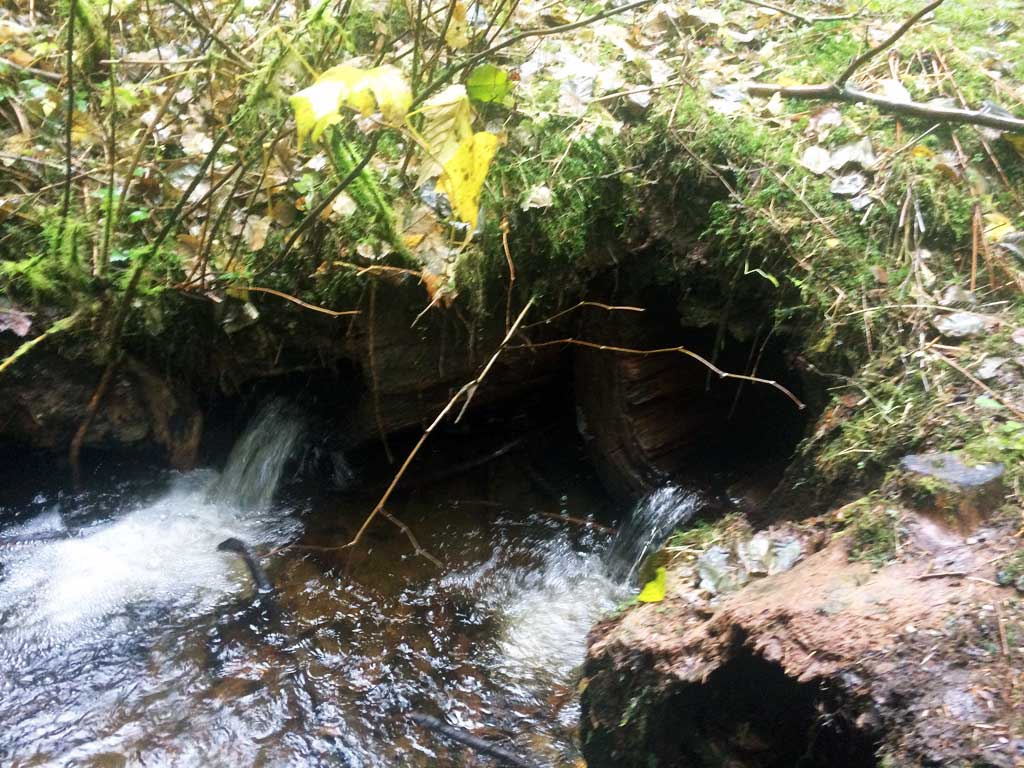
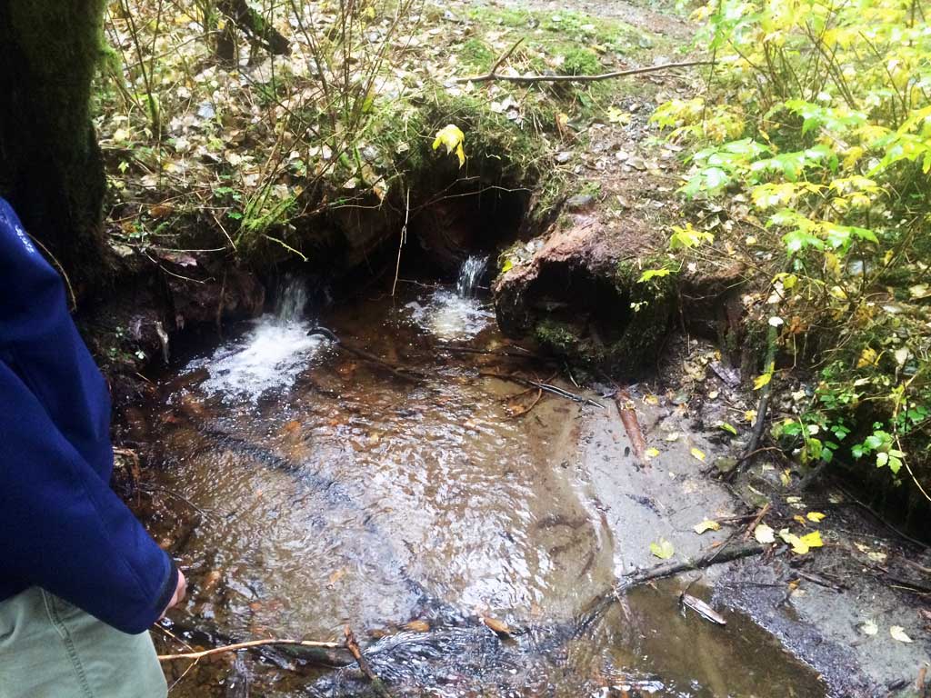
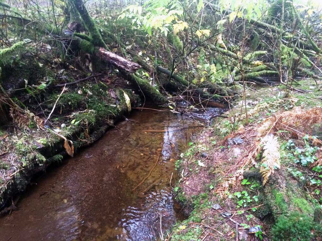
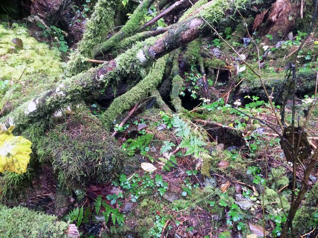
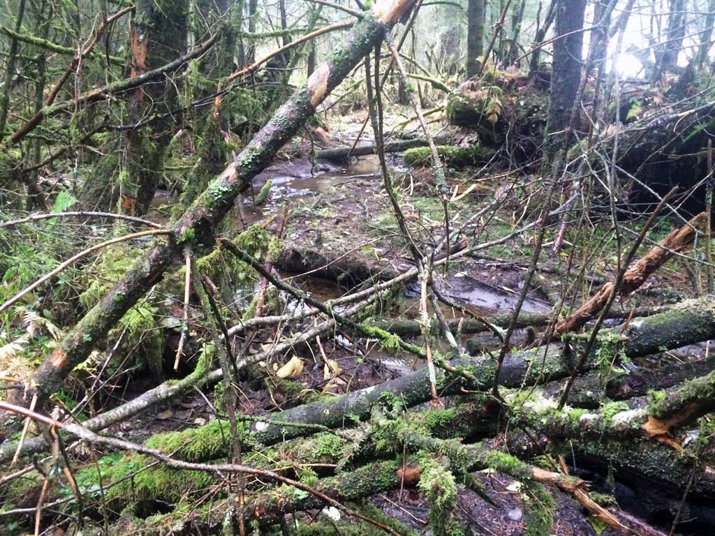
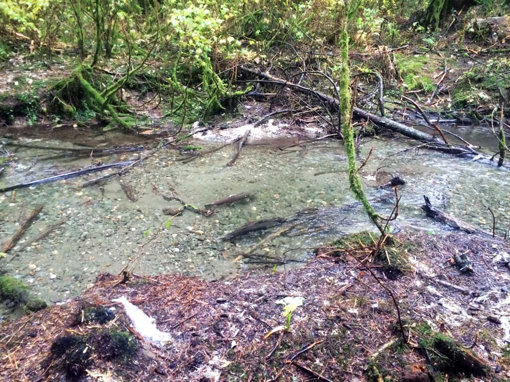
Comments: Creek is a tributary to Switzer Creek and the confluence is only about 20 to 30 feet downstream of crossing. Adult Coho seen downstream in Switzer Cr near confluence. Upstream culvert inlets have been covered by slash. Upstream creek runs into a lot of old slash and stumps. Unclear if all this woody debris is creating an instream barrier. All culverts appear to be perched over 4 inches, but site would need to be surveyed to verify. Site does appear to be a barrier to fish passage.
Culvert Measurements
| ID: 1 | Structure Type: Circular pipe (Wood) | Fish Passage Rating: | |||||||||||||||||||||||||||||||||||||||||
|
|
|
|||||||||||||||||||||||||||||||||||||||||
Comments: Old hollow cedar logs are used as culverts. |
|||||||||||||||||||||||||||||||||||||||||||
| ID: 2 | Structure Type: Circular pipe (Wood) | Fish Passage Rating: | |||||||||||||||||||||||||||||||||||||||||
|
|
|
|||||||||||||||||||||||||||||||||||||||||
Comments: Old hollow cedar logs are used for culverts. |
|||||||||||||||||||||||||||||||||||||||||||
| ID: 3 | Structure Type: Circular pipe (Wood) | Fish Passage Rating: | |||||||||||||||||||||||||||||||||||||||||
|
|
|
|||||||||||||||||||||||||||||||||||||||||
Comments: Old hollow cedar logs are used for culverts. |
|||||||||||||||||||||||||||||||||||||||||||
Stream Measurements
|
|
No stream width data available.
Elevations
No elevation data available.
Fish Sampling Efforts
No fish sampling occurred during this survey.
Fish Observations
No fish observations occurred during this survey.
Photos

Questions or comments about this report can be directed to dfg.dsf.webmaster@alaska.gov