Fish Passage Site 10303466
Coordinates (dec. deg.): 58.49254°, -134.78311°
Legal Description: C039S064E13
Region: Southeast
Road Name: Amalga Harbor Road
Datum: NAD83
Quad Name / ITM: Juneau B-3
AWC Stream #: 111-50-10100-2034
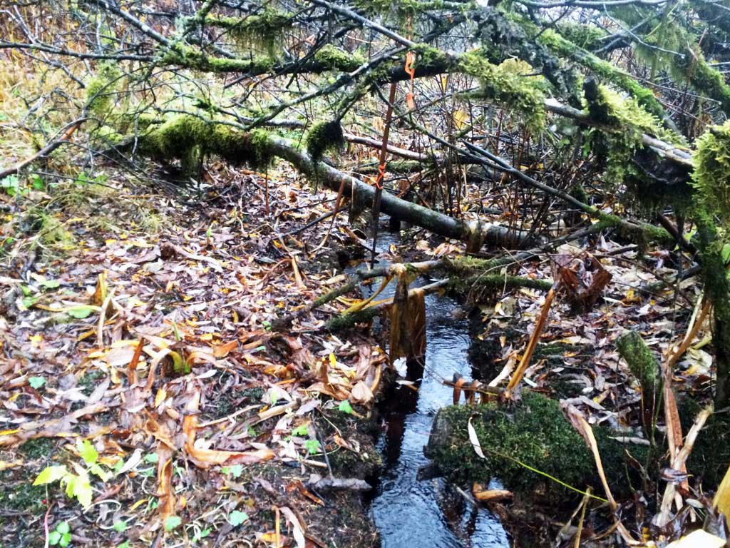
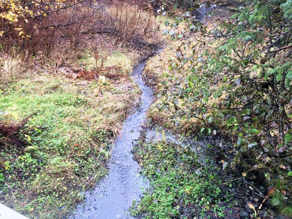
Stream Name: Unnamed Trib to Peterson Creek
Elevation:
Site Comments: None
Survey UPDATE-AMG02
Project Supervisor: Gillian O'Doherty, ADFG
Observers: Mark Eisenman
Overall Fish Passage Rating:
Tidal:
Backwatered: Maybe
Step Pools:
Construction Year:
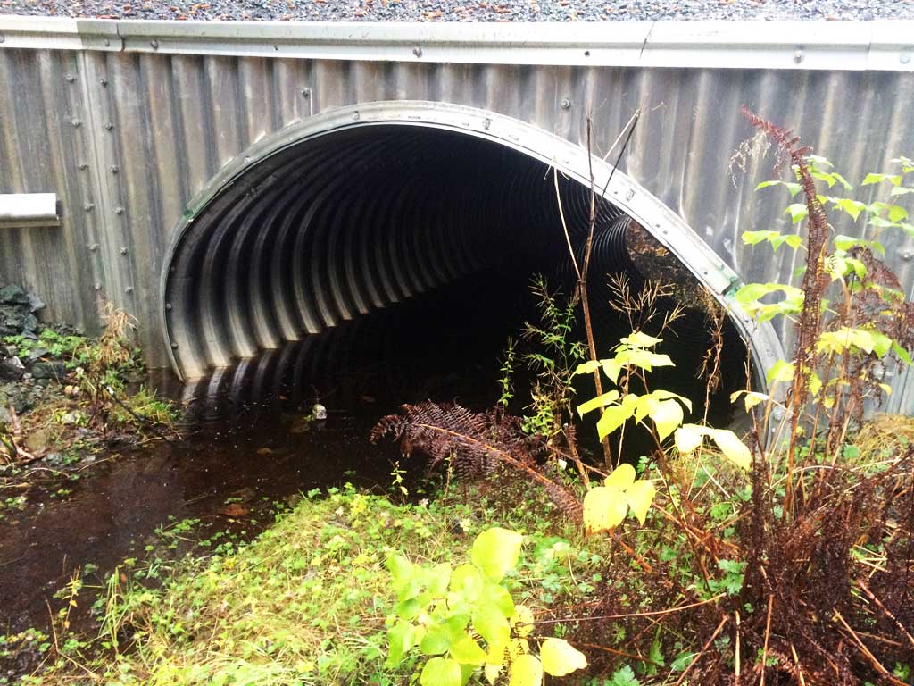
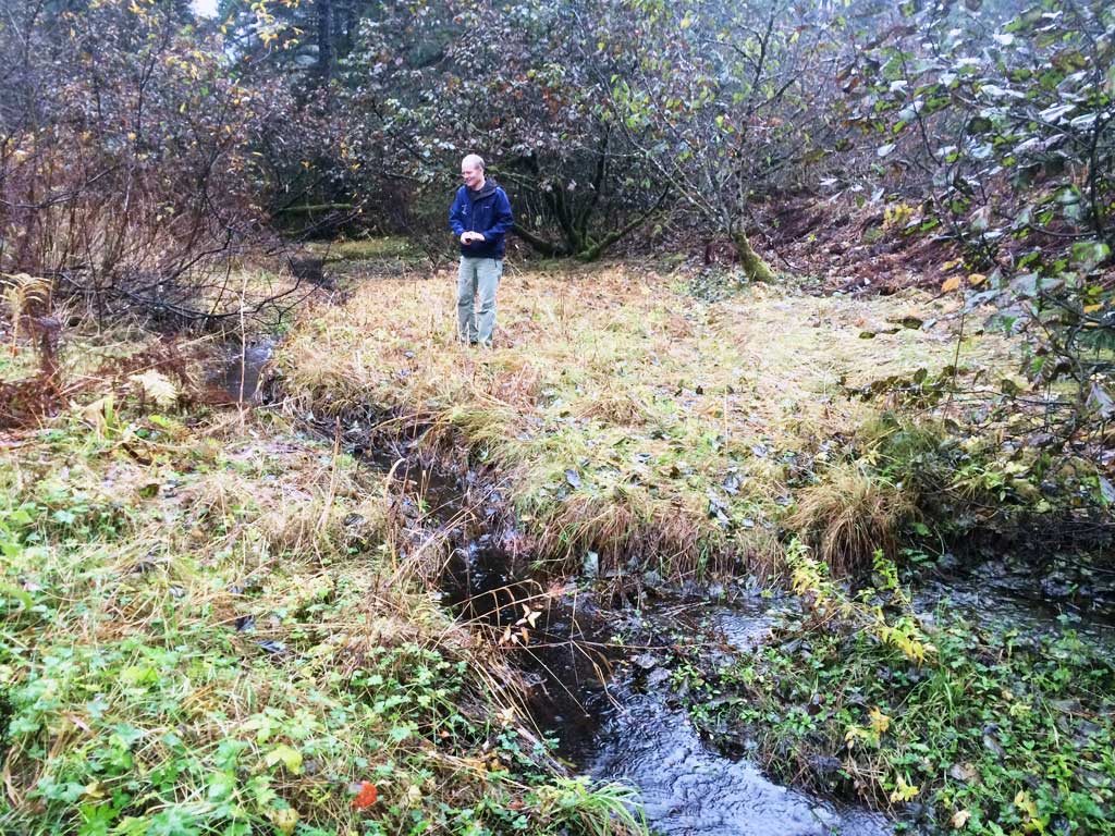
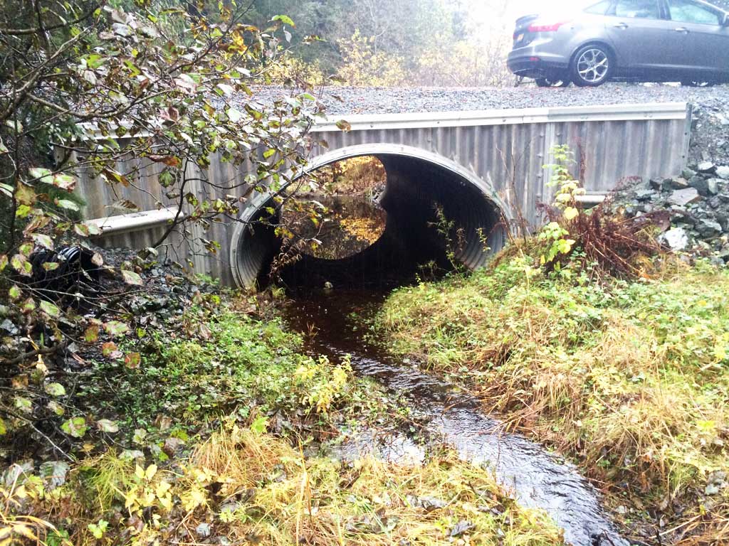
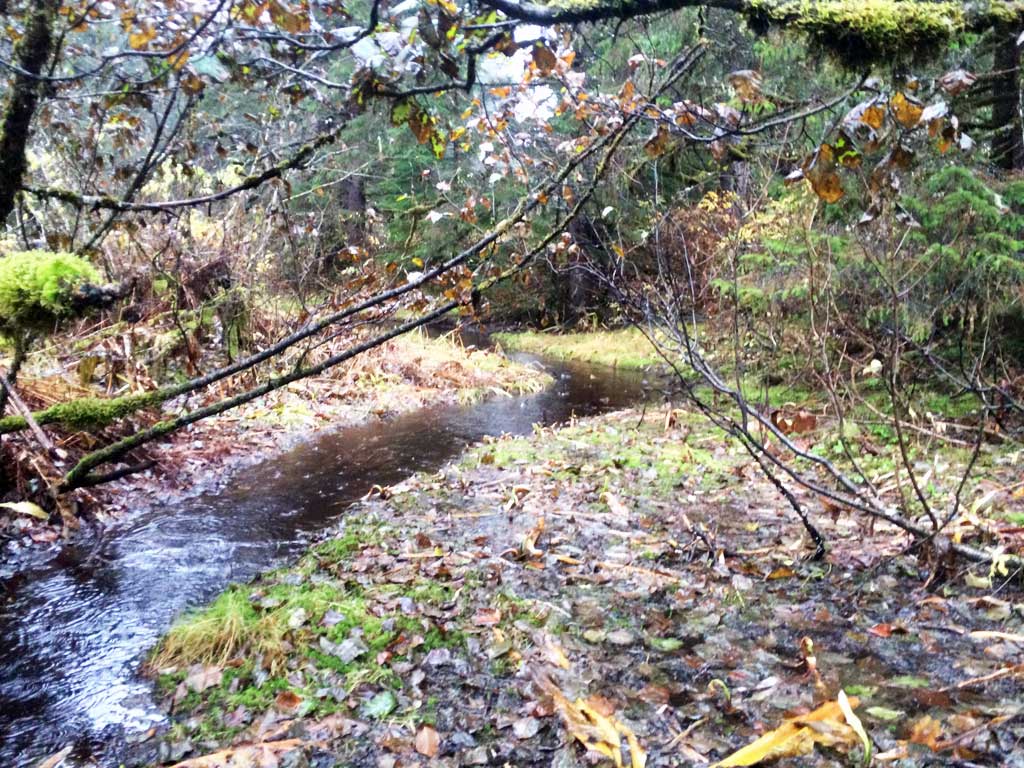
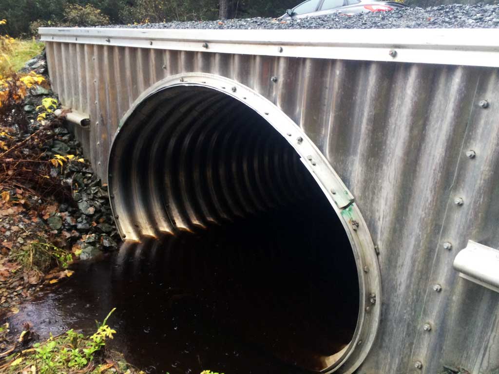
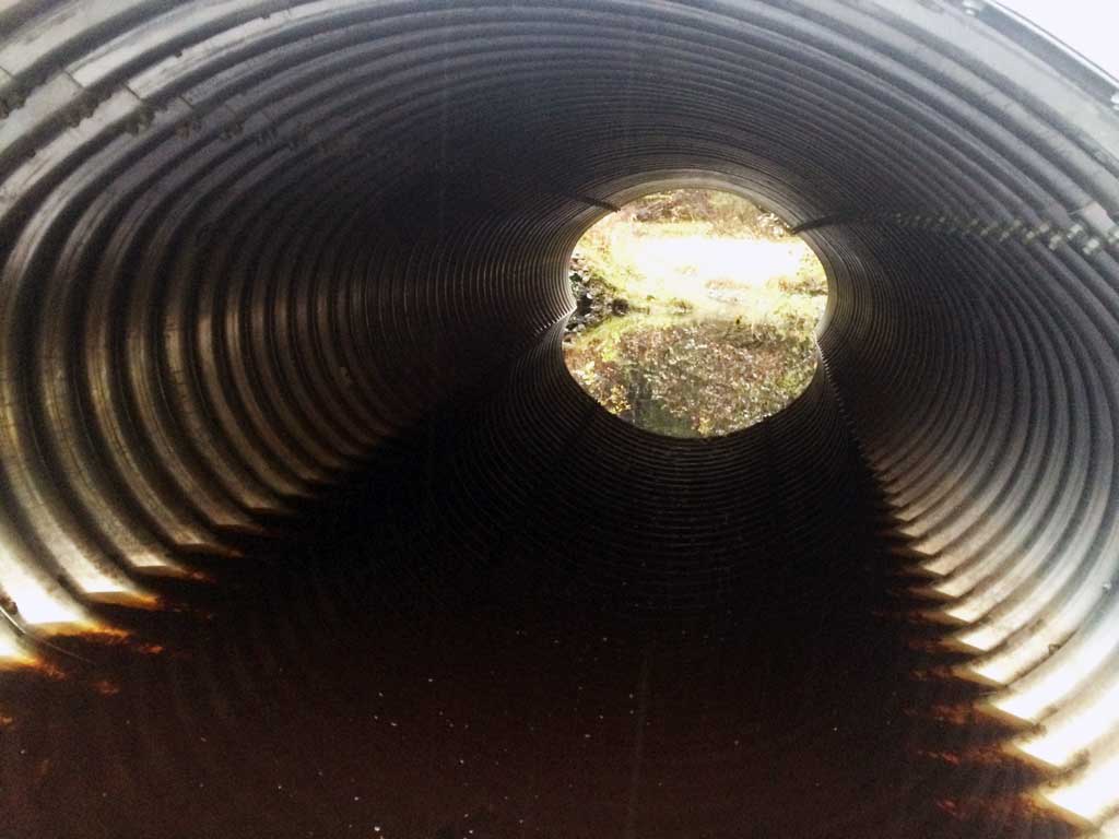
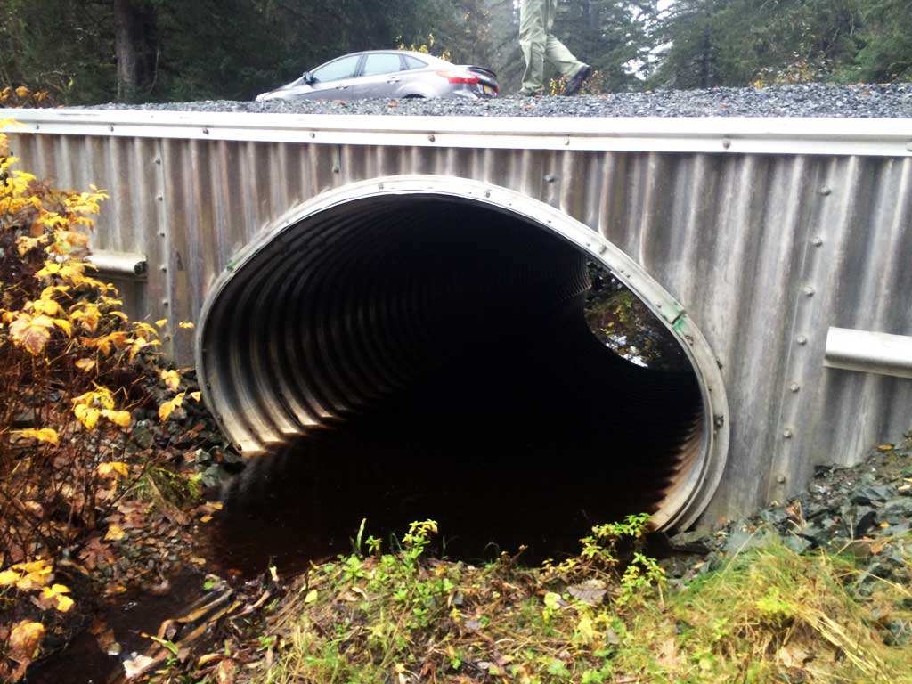
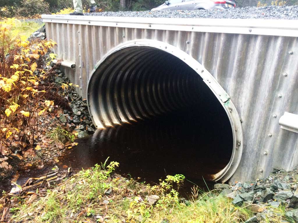
Comments: Site was a concrete bridge when visited in 2011-12. Culvert recently replaced with large aluminum pipe arch. Site visited with John Hudson (USFWS) 10-15-15 to take photos. There does not appear to any substrate in barrel.
Culvert Measurements
| ID: 1 | Structure Type: Pipe-arch (Structural aluminum plate) | Fish Passage Rating: | |||||||||||||||||||||||||||||||||||||||||
|
|
|
|||||||||||||||||||||||||||||||||||||||||
Stream Measurements
|
|
No stream width data available.
Elevations
No elevation data available.
Fish Sampling Efforts
No fish sampling occurred during this survey.
Fish Observations
No fish observations occurred during this survey.
Photos


Questions or comments about this report can be directed to dfg.dsf.webmaster@alaska.gov