Fish Passage Site 10303463
Coordinates (dec. deg.): 58.49805°, -134.78064°
Legal Description: C039S064E13
Region: Southeast
Road Name: Saga Road
Datum: NAD83
Quad Name / ITM: Juneau B-3
AWC Stream #: 111-50-10100-2035-3010
Stream Name: Unnamed Tributary to Salt Chuck
Elevation:
Site Comments: None
Survey UPDATE-SAGA1
Project Supervisor: Gillian O'Doherty, ADFG
Observers: Mark Eisenman
Overall Fish Passage Rating:
Tidal:
Backwatered:
Step Pools:
Construction Year: 2015
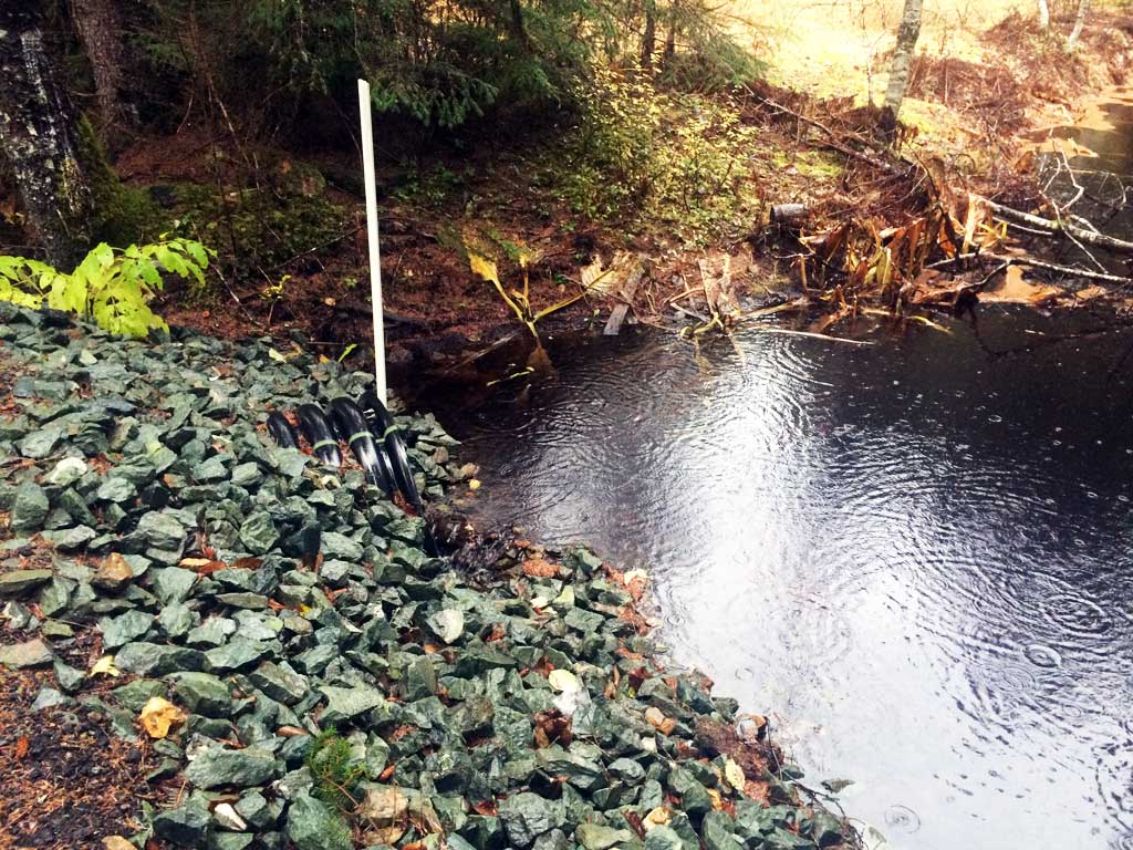
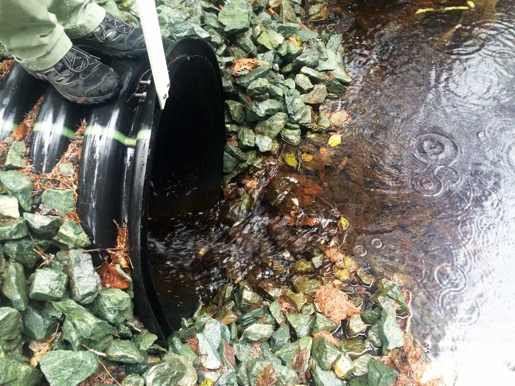
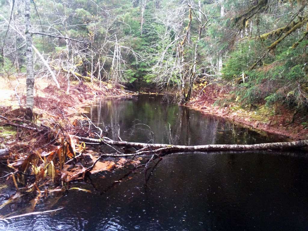
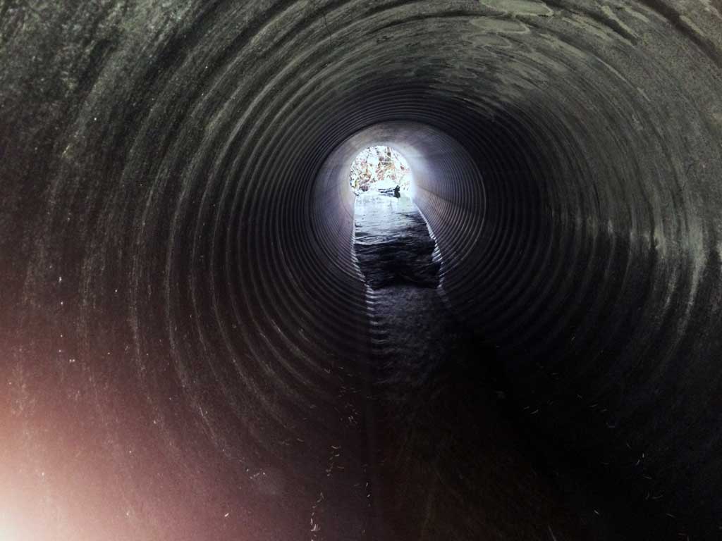
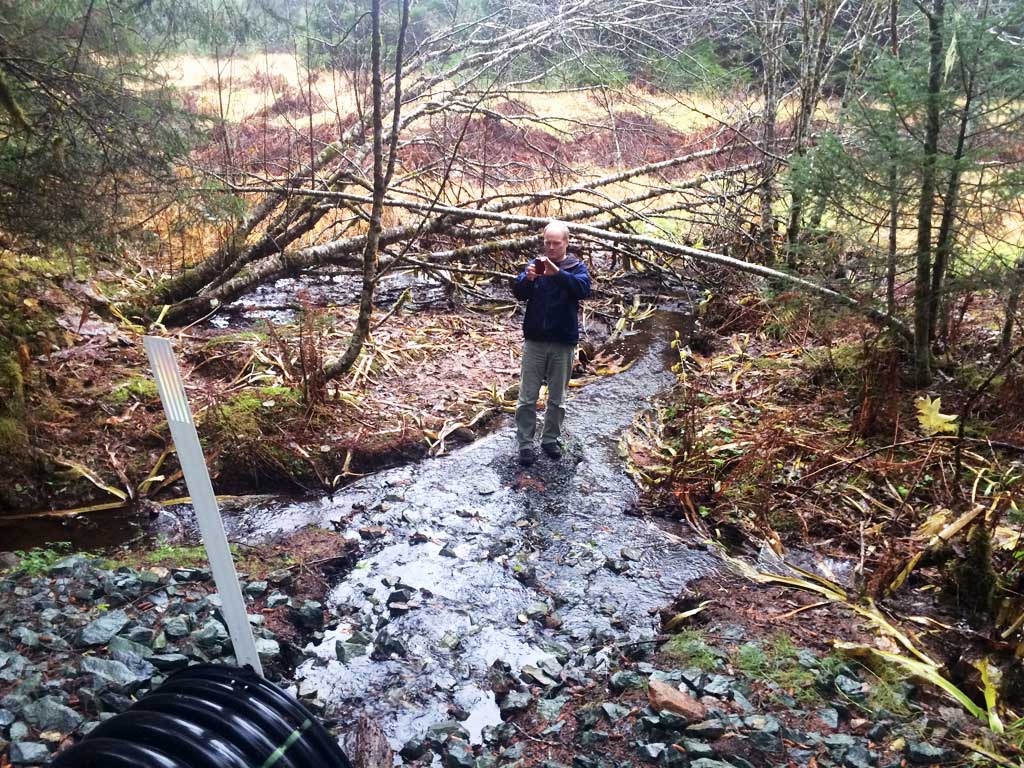
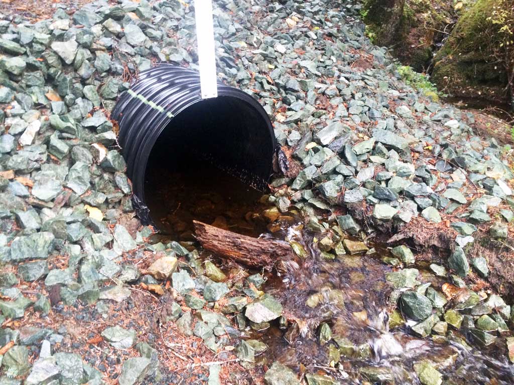
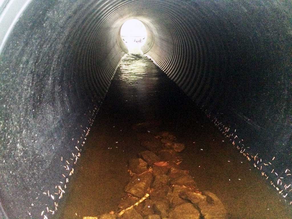
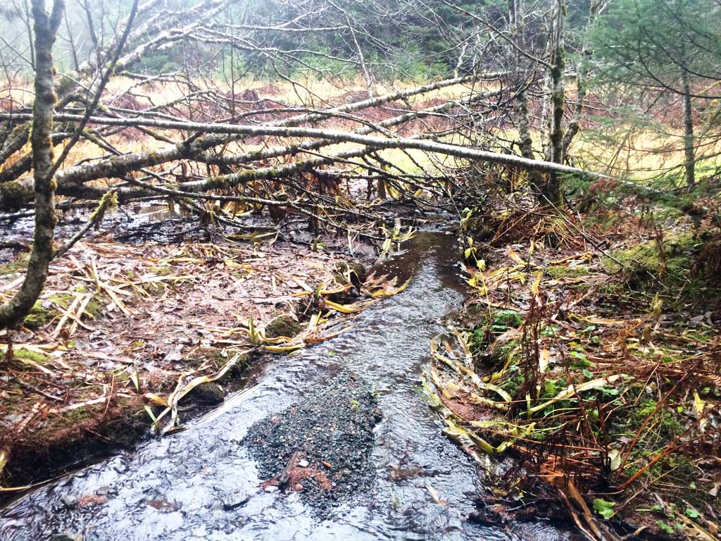
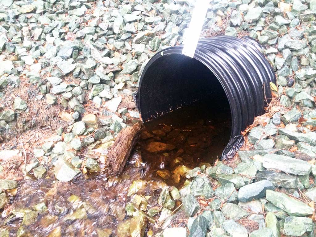
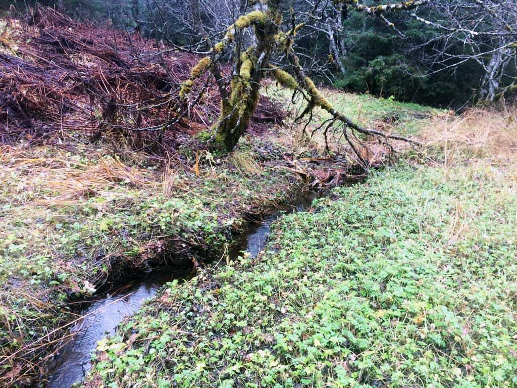
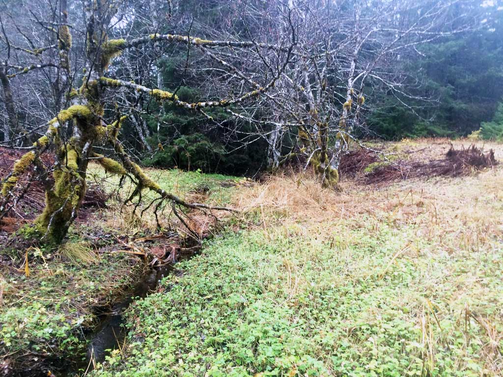
Comments: Site was missed during original surveys from 2011 and 2012. Site was visited with John Hudson USFWS to take photos. Culvert has recently been replaced. Upstream is ponded by culvert and road prism.
Culvert Measurements
| ID: 1 | Structure Type: Circular pipe (Corrugated plastic) | Fish Passage Rating: | |||||||||||||||||||||||||||||||||||||||||
|
|
|
|||||||||||||||||||||||||||||||||||||||||
Comments: Culvert is a black smooth bore plastic pipe. |
|||||||||||||||||||||||||||||||||||||||||||
Stream Measurements
|
|
No stream width data available.
Elevations
No elevation data available.
Fish Sampling Efforts
No fish sampling occurred during this survey.
Fish Observations
No fish observations occurred during this survey.
Photos
Questions or comments about this report can be directed to dfg.dsf.webmaster@alaska.gov