Fish Passage Site 10303462
Coordinates (dec. deg.): 58.35886°, -134.52318°
Legal Description: C040S066E33
Region: Southeast
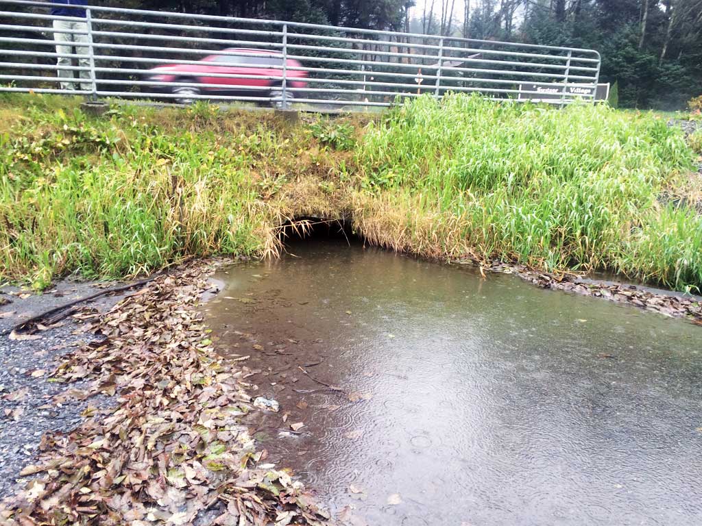
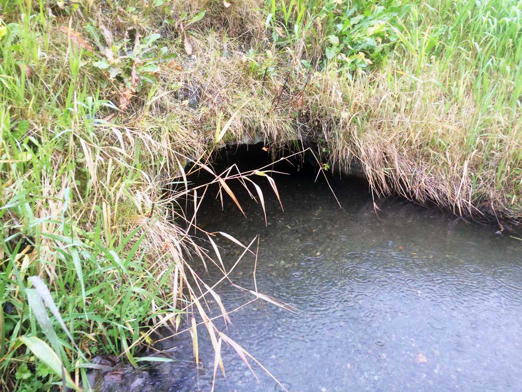
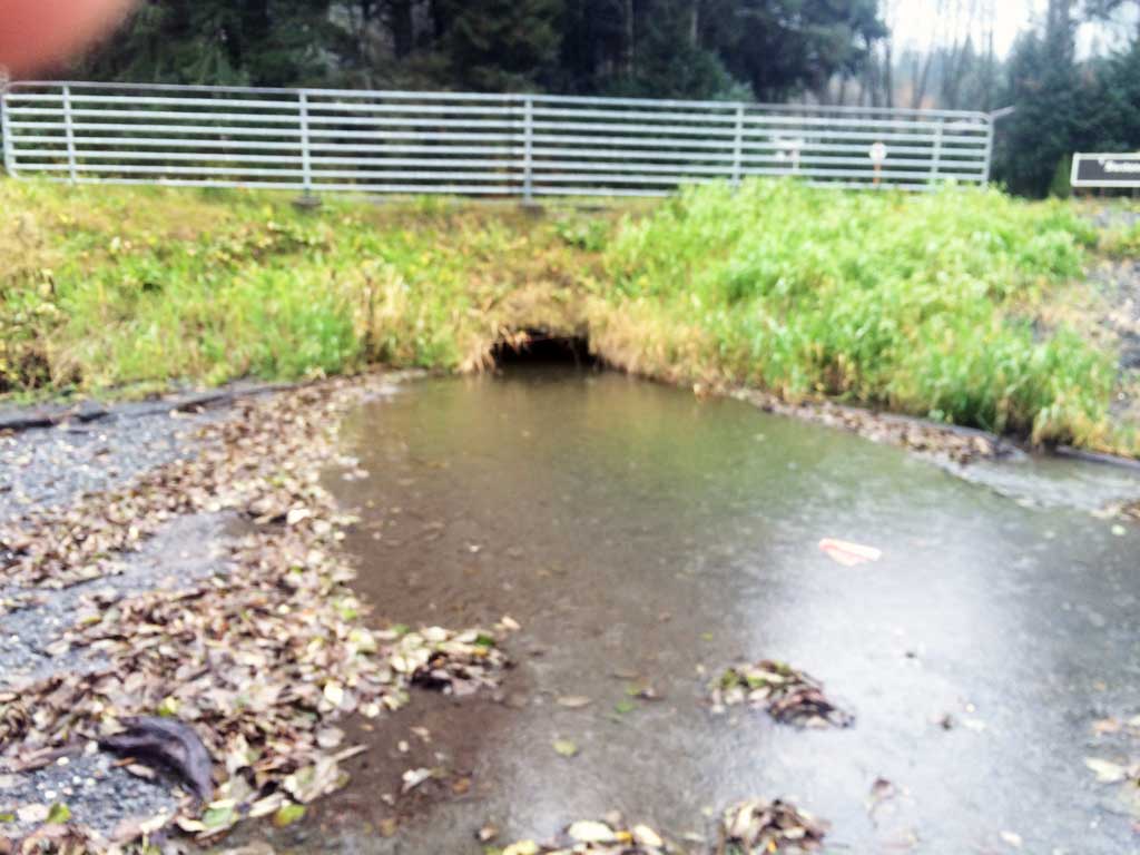
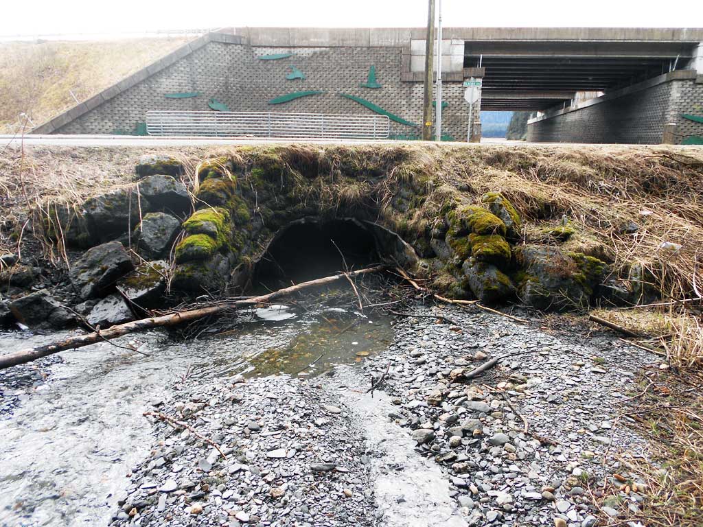
Road Name: Glacier Highway
Datum: NAD83
Quad Name / ITM: Juneau B-2
AWC Stream #:
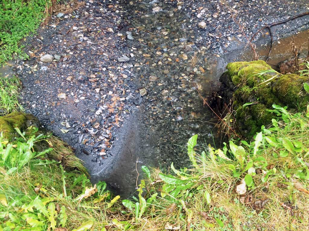
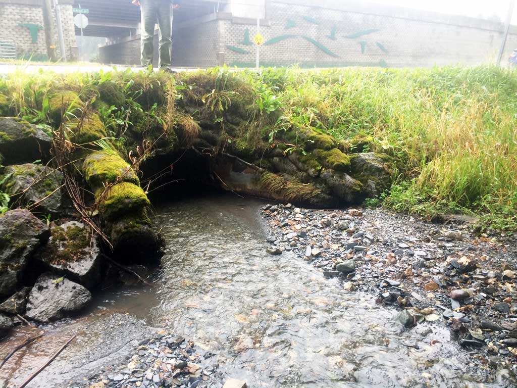
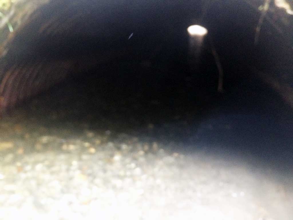
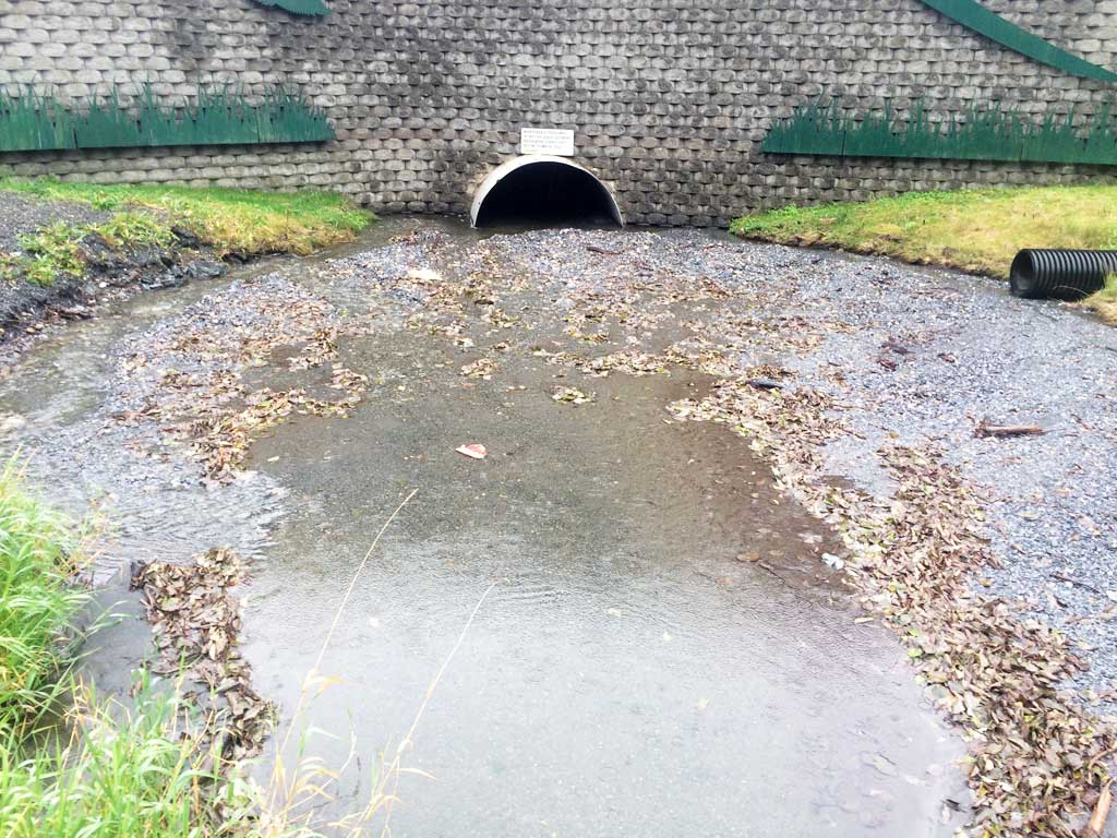
Stream Name: West Creek
Elevation:
Site Comments: Just upstream from site 10302163 (SEA11-EGN03)
Survey UPDATE-WEST
Project Supervisor: Gillian O'Doherty, ADFG
Observers: Mark Eisenman
Overall Fish Passage Rating:
Tidal:
Backwatered:
Step Pools:
Construction Year:
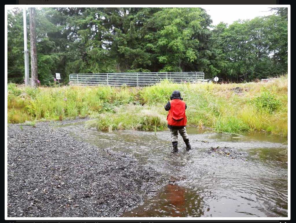
Comments: Site needs to be fully surveyed. Site visited in Oct 2015 for photos.
Culvert Measurements
| ID: 1 | Structure Type: Circular pipe (Corrugated steel) | Fish Passage Rating: | |||||||||||||||||||||||||||||||||||||||||
|
|
|
|||||||||||||||||||||||||||||||||||||||||
Stream Measurements
|
|
No stream width data available.
Elevations
No elevation data available.
Fish Sampling Efforts
No fish sampling occurred during this survey.
Fish Observations
No fish observations occurred during this survey.
Photos


Questions or comments about this report can be directed to dfg.dsf.webmaster@alaska.gov