Fish Passage Site 10302939
Coordinates (dec. deg.): 59.52942°, -135.34810°
Legal Description: C027S059E15
Region: Southeast
Road Name: Skagway-Dyea Road
Datum: NAD83
Quad Name / ITM: Skagway C-1
AWC Stream #:
Stream Name: West Creek tributary
Elevation:
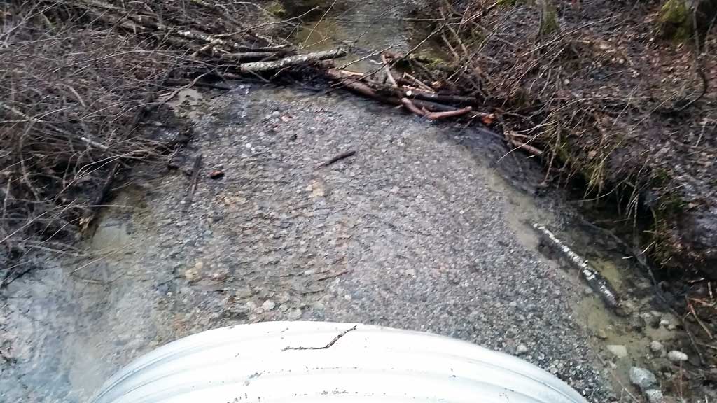
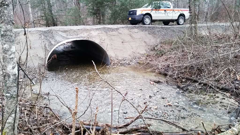
Site Comments: Confluence with West Creek is approximately 200 feet d/s of culverts.
arrow to the right of the survey date below to choose a different report for this site.
Survey UPDATE-DSR01
Project Supervisor: Gillian O'Doherty, ADFG
Observers: Mark Eisenman
Overall Fish Passage Rating:
Tidal:
Backwatered:
Step Pools:
Construction Year: 2015
Comments: Site was replaced in January 2015. Photos provided by USFWS. New site survey needed. Site rated conditionally green.
Culvert Measurements
| ID: 1 | Structure Type: Pipe-arch (Corrugated steel) | Fish Passage Rating: | |||||||||||||||||||||||||||||||||||||||||
|
|
|
|||||||||||||||||||||||||||||||||||||||||
Comments: Culvert measurements taken from site plans and do not include the 1.3 feet of substrate at the inverts. Culvert length and slope also taken from site plans and are not measured. Culvert width 9.75 ft. Culvert height 6.6 ft. Culvert length 30 ft. Culvert gradient 2%. |
|||||||||||||||||||||||||||||||||||||||||||
Stream Measurements
|
|
No stream width data available.
Elevations
No elevation data available.
Fish Sampling Efforts
No fish sampling occurred during this survey.
Fish Observations
No fish observations occurred during this survey.
Photos
Questions or comments about this report can be directed to dfg.dsf.webmaster@alaska.gov