Fish Passage Site 10302913
Coordinates (dec. deg.): 59.28496°, -135.68188°
Legal Description: C030S058E08
Region: Southeast
Road Name: Haines Highway
Datum: NAD83
Quad Name / ITM: Skagway B-2
AWC Stream #: 115-32-10250-2030-3002
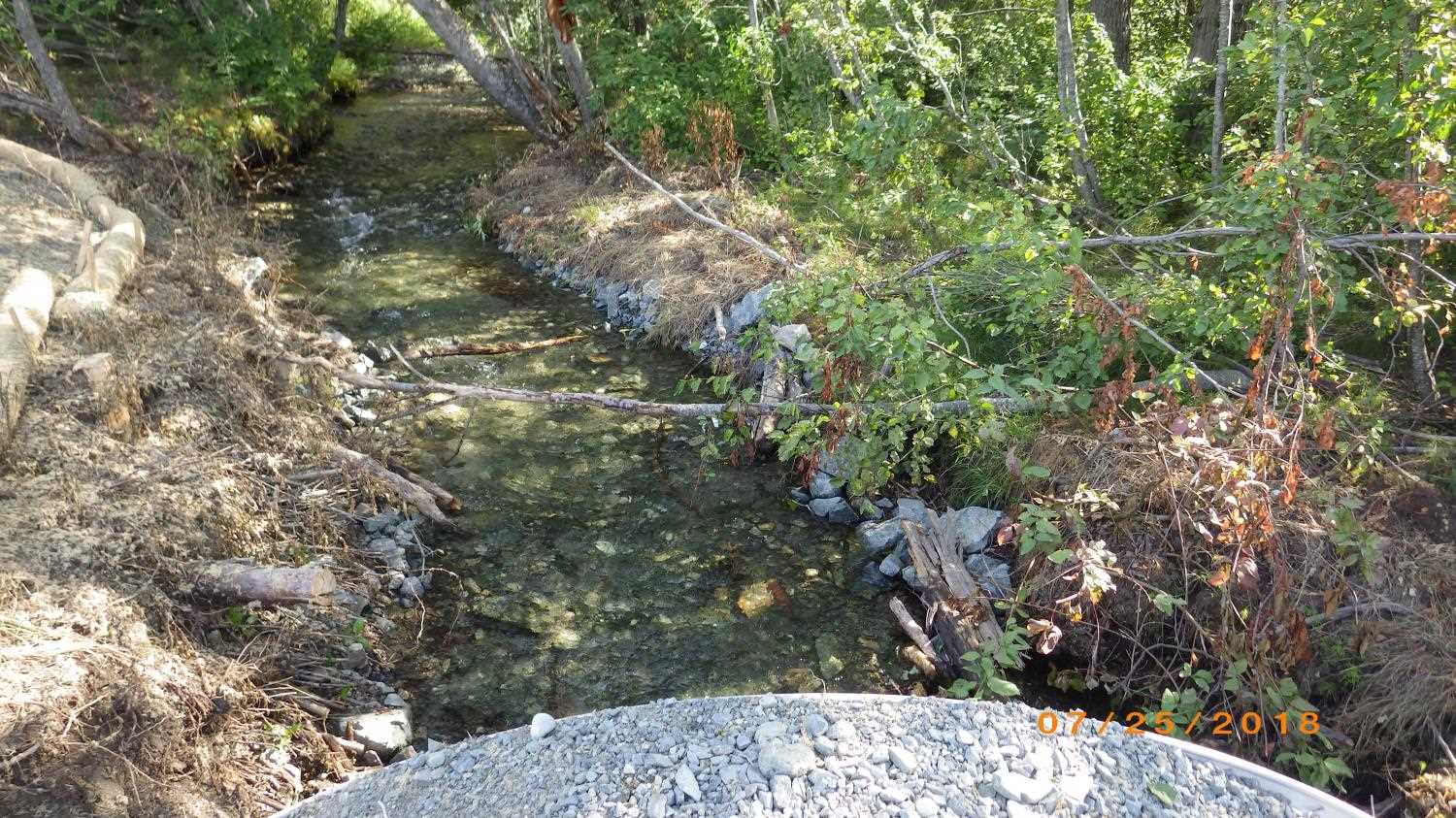
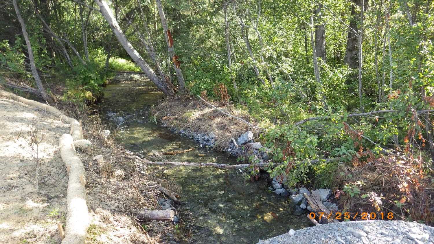
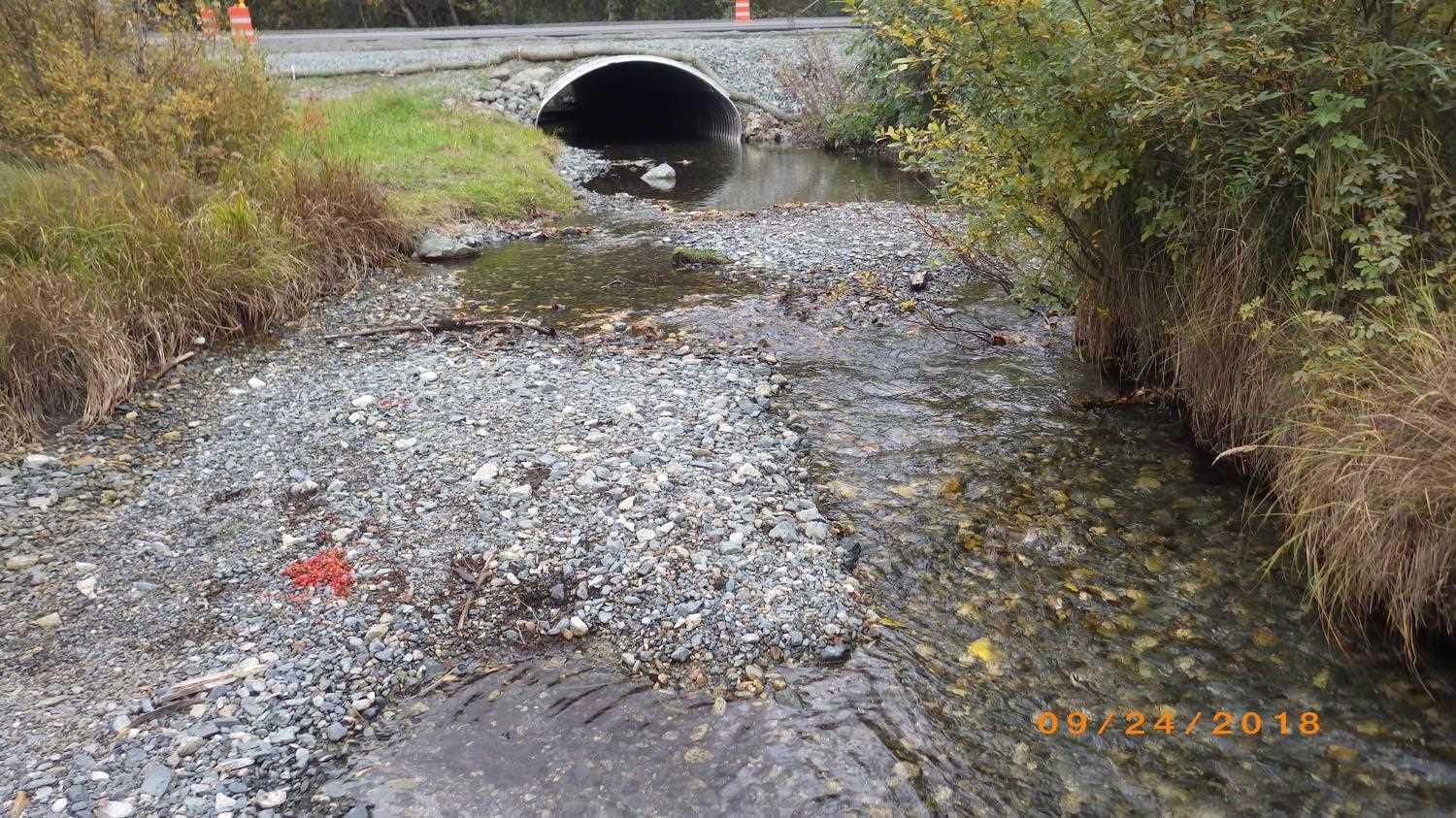
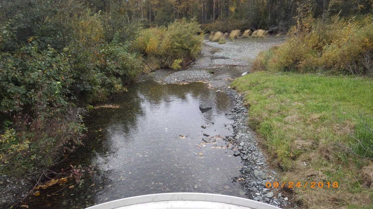
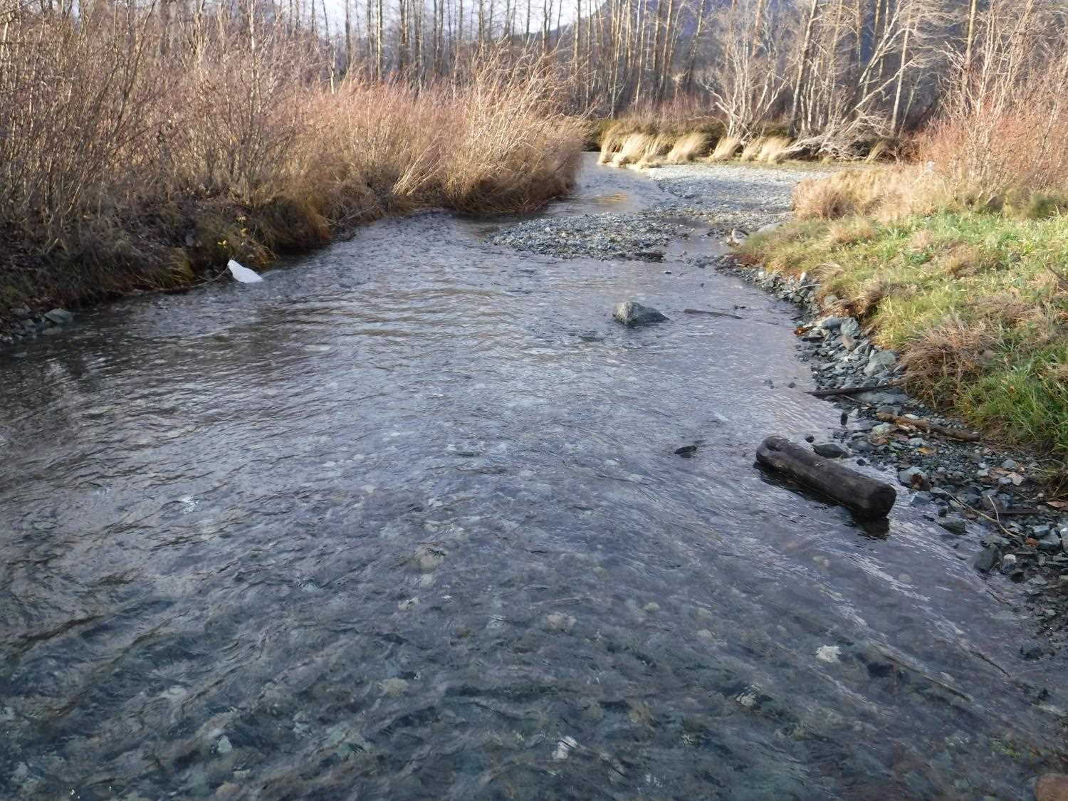
Stream Name: 10 Mile Creek
Elevation:
Site Comments: Upstream is a private hydroelectric plant and 10 mile creek is discharge from plant. Creek conflences with 10 Mile slough about 50 feet downstream and then empties into Chilkat River about 200 feet downstream.
arrow to the right of the survey date below to choose a different report for this site.
Survey UPDATE-2913
Project Supervisor: Gillian O'Doherty, ADFG
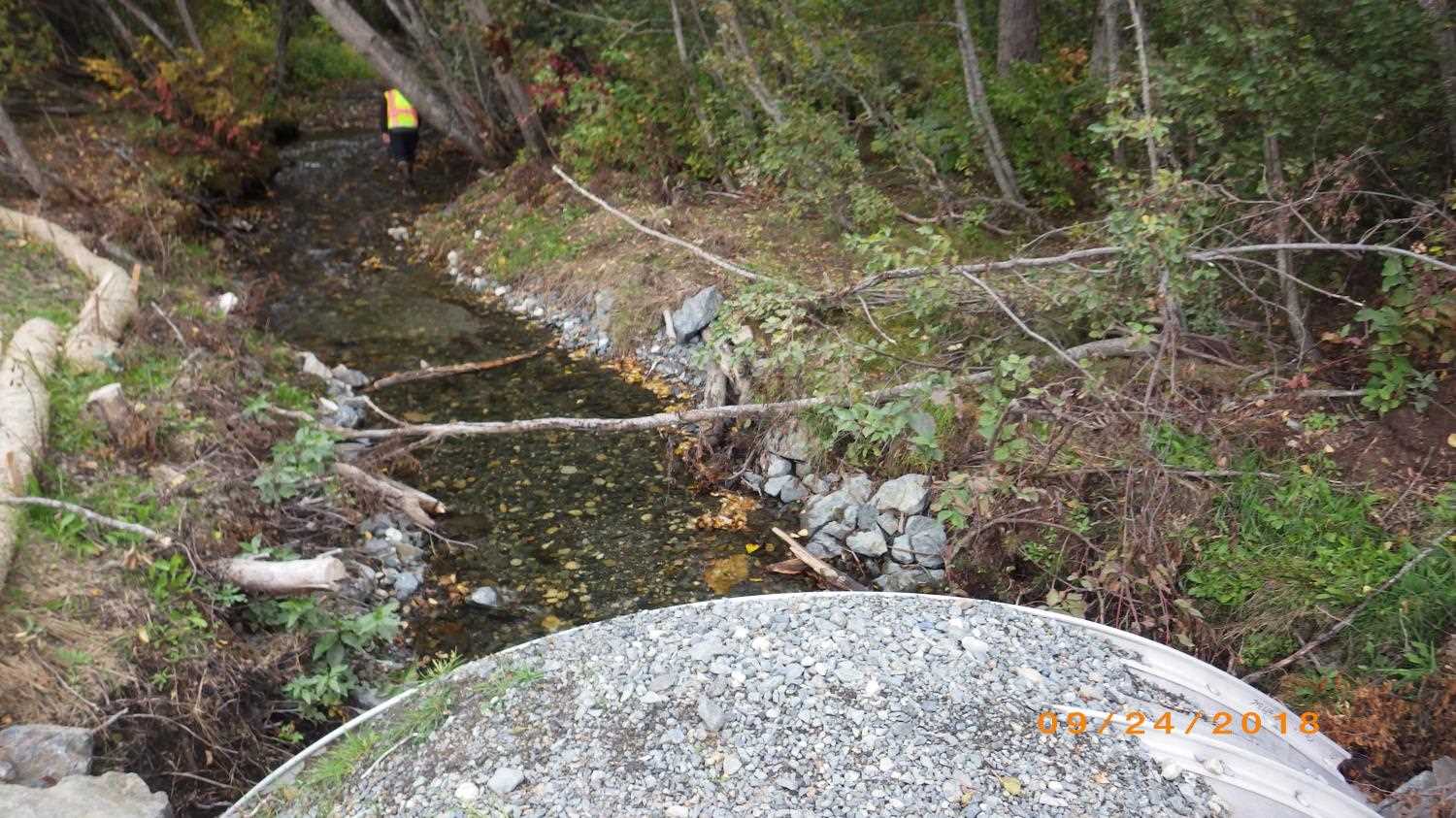
Observers: Dylan Krull
Overall Fish Passage Rating:
Tidal: No
Backwatered: No
Step Pools: No
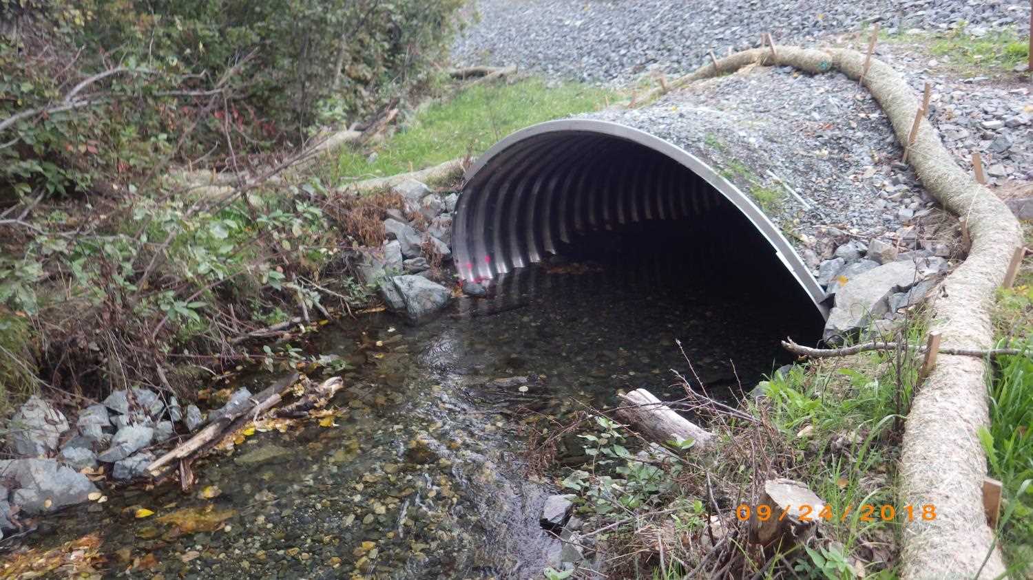
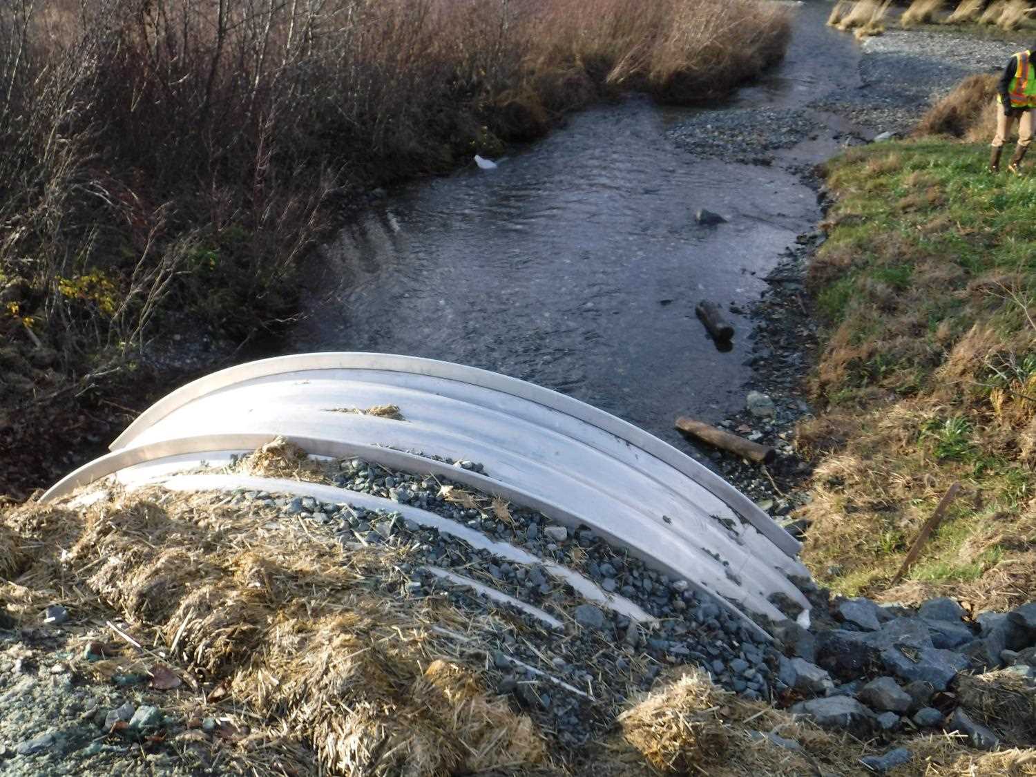
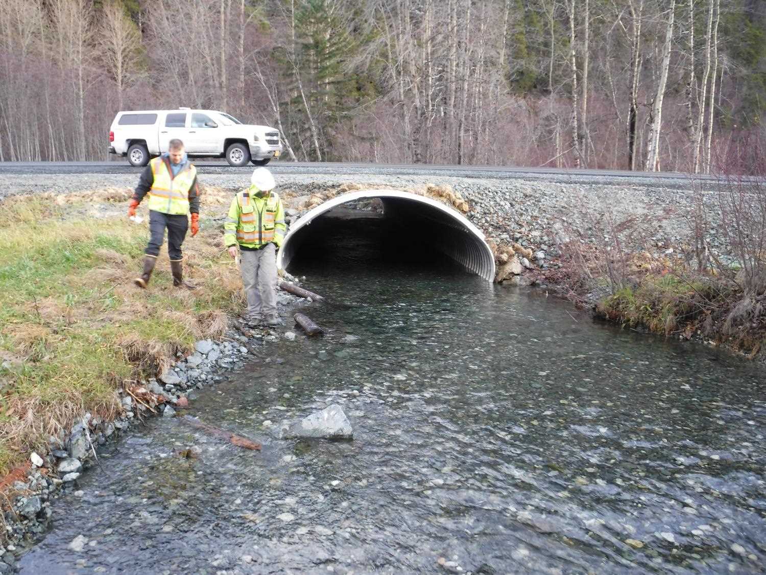
Construction Year: 2018
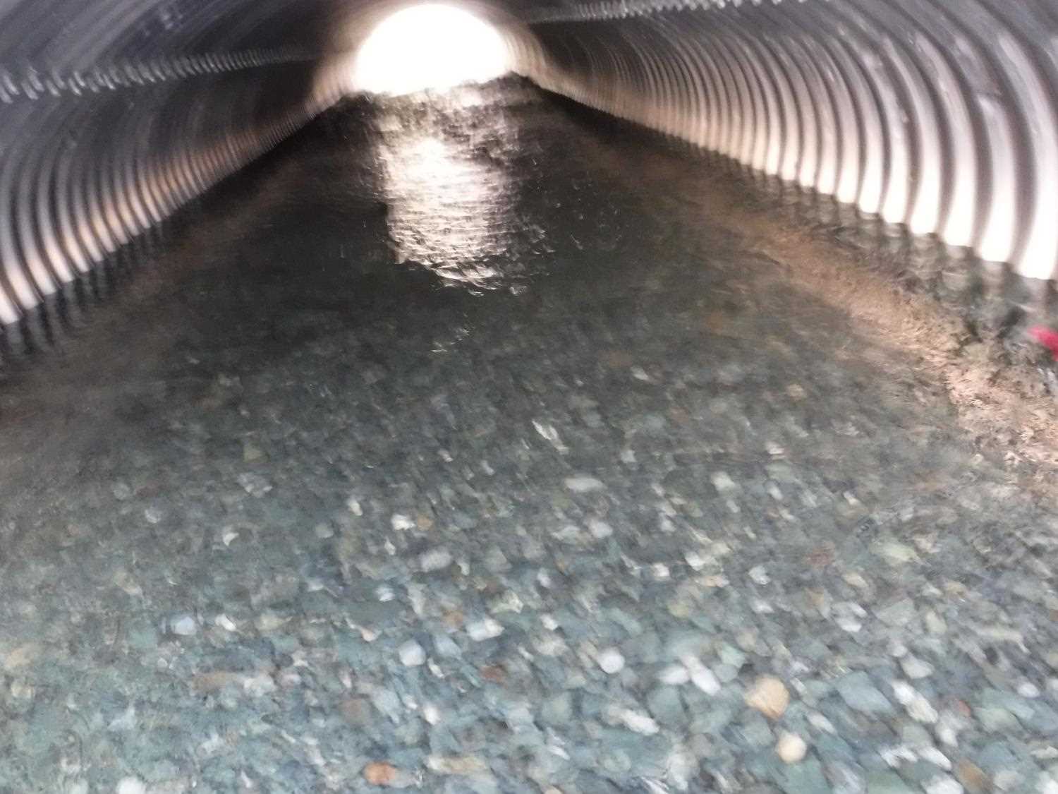
Comments: Site information and photos submitted by Dylan Krull, HB ADFG, Juneau. Culvert was replaced as part of Phase 1 of the Haines Highway reconstruction project under fish habitat permit FH17-I-0126. Site needs to be reassessed for rating.
Culvert Measurements
| ID: 1 | Structure Type: Pipe-arch (Structural aluminum plate) | Fish Passage Rating: | |||||||||||||||||||||||||||||||||||||||||
|
|
|
|||||||||||||||||||||||||||||||||||||||||
Comments: Culvert measurements taken from site plans and have not been verified. Culvert height is for the full culvert dimensions and does not account for infill. Culvert width 12.6 ft, Cuvlert height 7.4 ft. Culvert length 92 ft. Culvert gradient 1.1%. |
|||||||||||||||||||||||||||||||||||||||||||
Stream Measurements
|
|
No stream width data available.
Elevations
No elevation data available.
Fish Sampling Efforts
No fish sampling occurred during this survey.
Fish Observations
No fish observations occurred during this survey.
Photos


Questions or comments about this report can be directed to dfg.dsf.webmaster@alaska.gov