Fish Passage Site 10302885
Coordinates (dec. deg.): 59.30099°, -135.70799°
Legal Description: C030S058E06
Region: Southeast
Road Name: Haines Highway
Datum: NAD83
Quad Name / ITM: Skagway B-2
AWC Stream #: 115-32-10250-2032
Stream Name: 11.5 Mile Creek
Elevation:
Site Comments: None
arrow to the right of the survey date below to choose a different report for this site.
Survey UPDATE-2885
Project Supervisor: Gillian O'Doherty, ADFG
Observers: Dylan Krull
Overall Fish Passage Rating:
Tidal:
Backwatered:
Step Pools:
Construction Year:
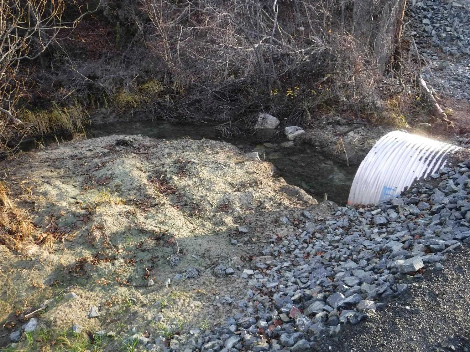
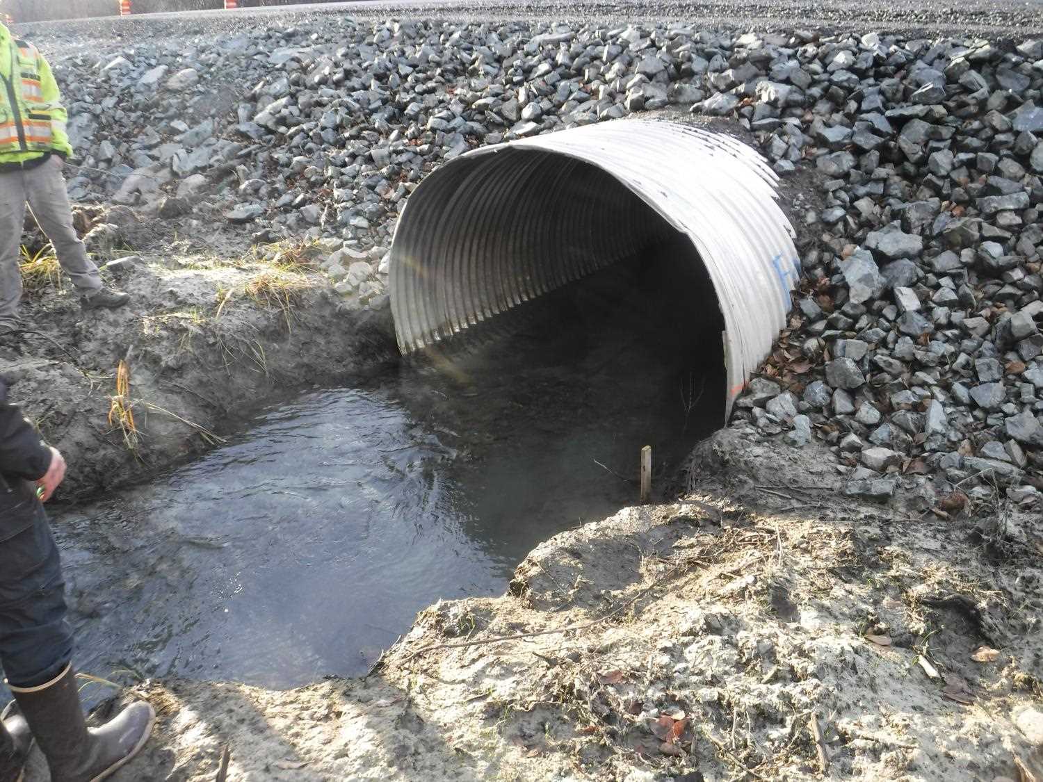
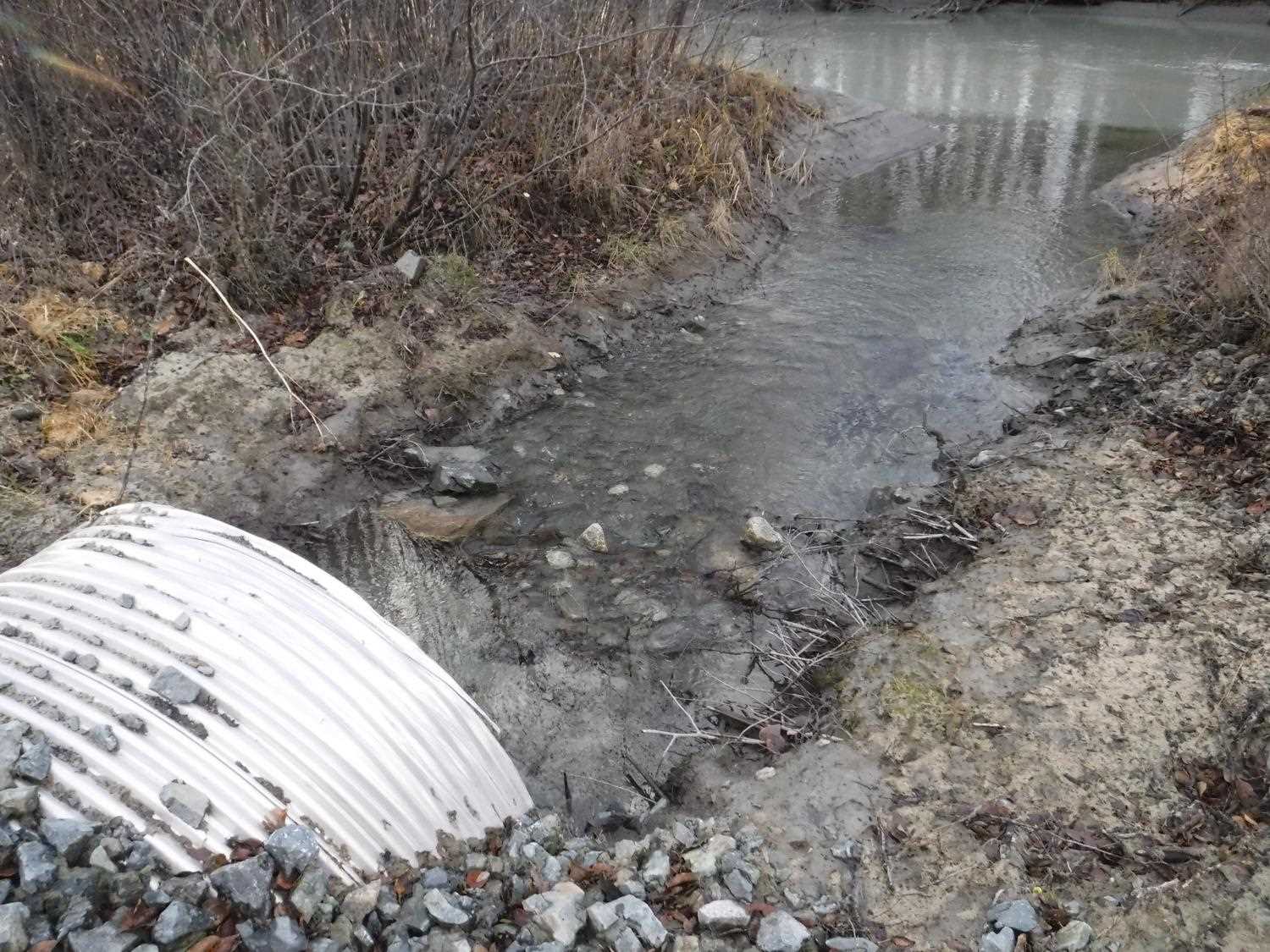
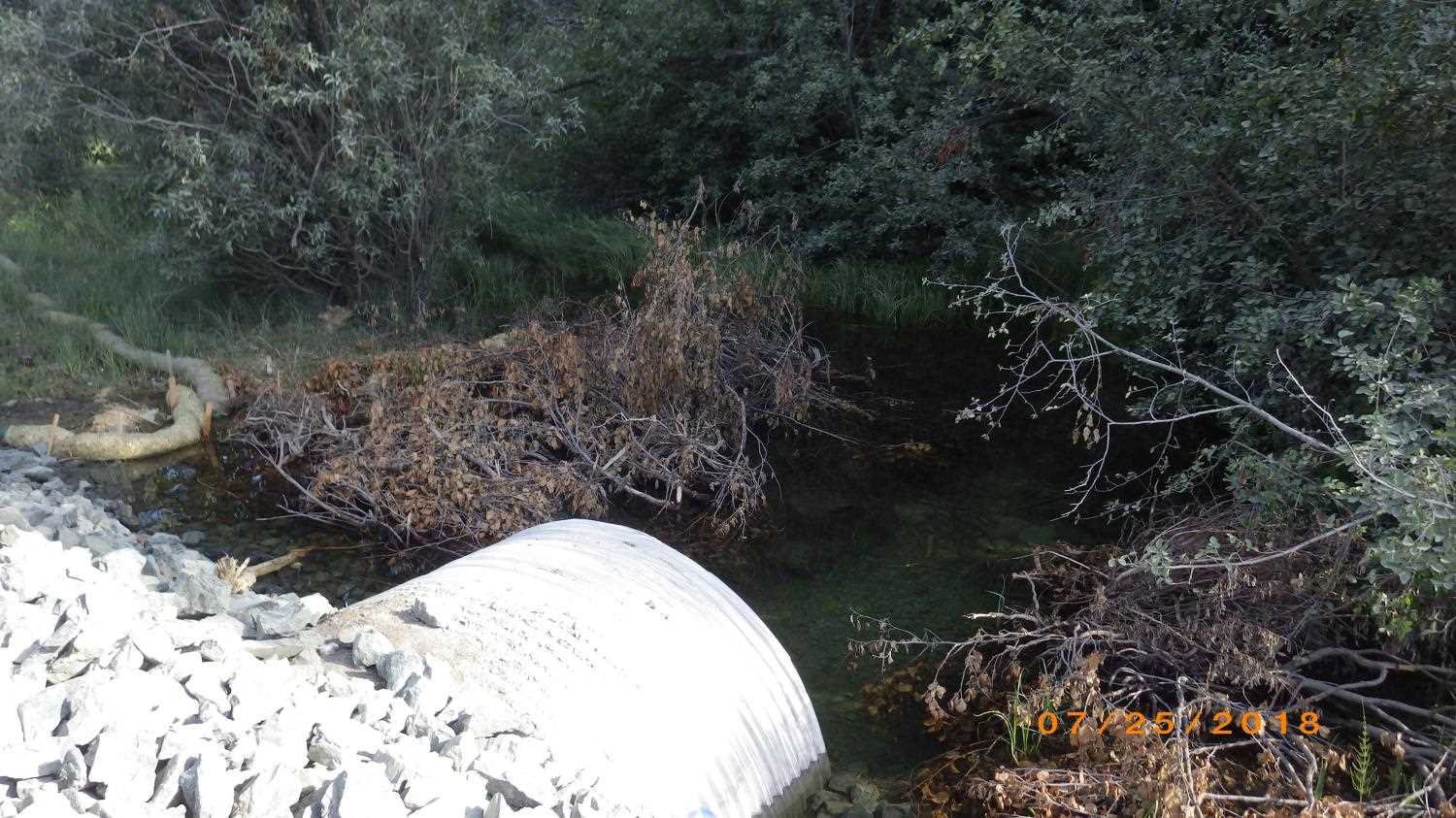
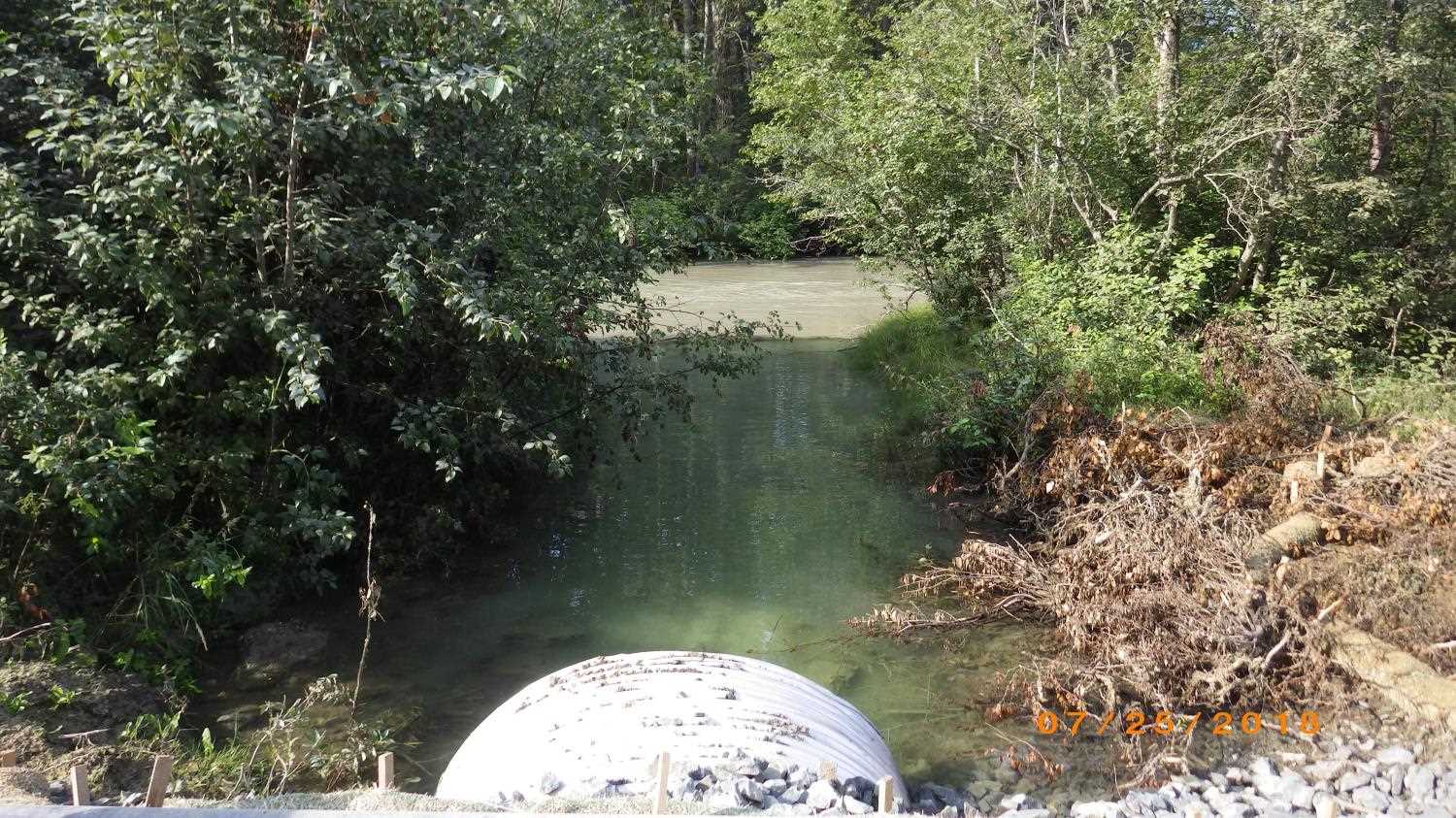
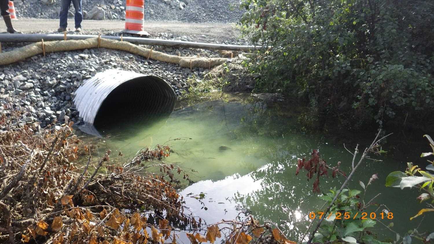
Comments: Updated information and photos submitted by ADFG HB Dylan Krull. Site was replaced as part of the Haines Highway Reconstruction Project Phase I under Fish Habitat Permit FH14-I-0129 and 0129A.
Culvert Measurements
| ID: 1 | Structure Type:N/A | Fish Passage Rating: | |||||||||||||||||||||||||||||||||||||||||
|
|
|
|||||||||||||||||||||||||||||||||||||||||
Comments: Culvert information taken from site plans and habitat permit and have not been verified. Culvert type Aluminum Pipe Arch. Culvert height 5.25 ft, culvert width 7.25 ft. Cuvlert length 74 feet. Culvert slope 0.49%. Corrugations 3x1 inches. |
|||||||||||||||||||||||||||||||||||||||||||
Stream Measurements
|
|
No stream width data available.
Elevations
No elevation data available.
Fish Sampling Efforts
No fish sampling occurred during this survey.
Fish Observations
No fish observations occurred during this survey.
Photos
Questions or comments about this report can be directed to dfg.dsf.webmaster@alaska.gov