Fish Passage Site 10302883
Coordinates (dec. deg.): 59.27979°, -135.67085°
Legal Description: C030S058E08
Region: Southeast
Road Name: Haines Highway
Datum: NAD83
Quad Name / ITM: Skagway B-2
AWC Stream #: 115-32-10250-2028
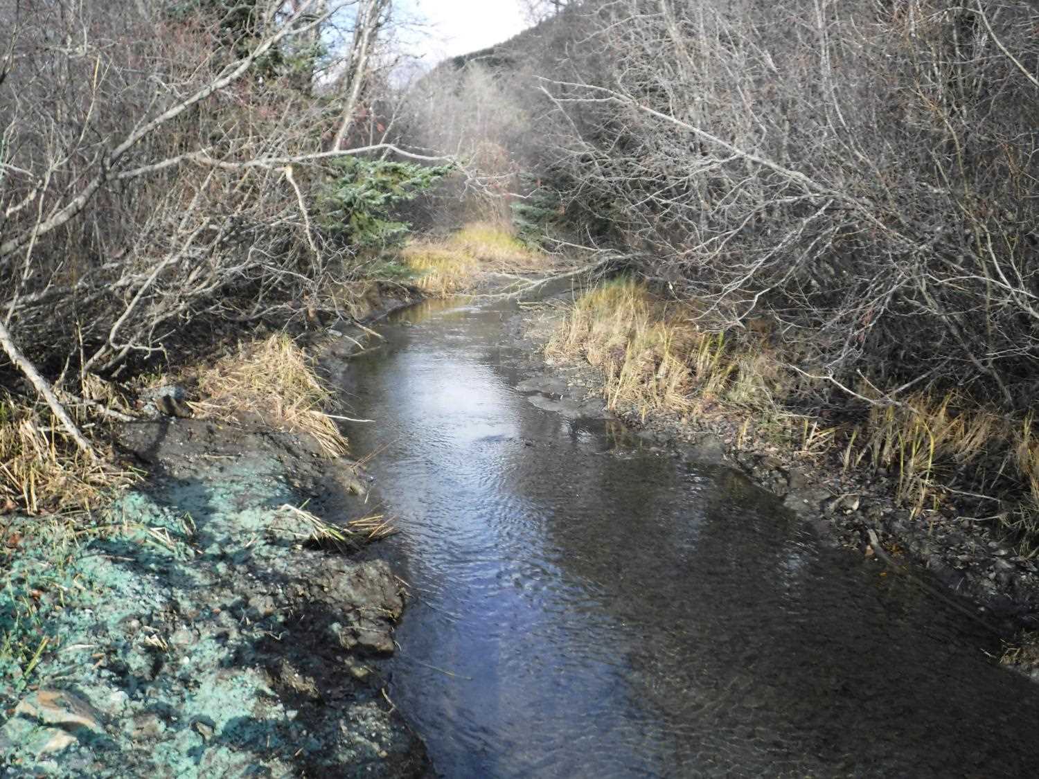
Stream Name: Chilkat River tributary
Elevation:
Site Comments: "9.5 Miles Creek"
arrow to the right of the survey date below to choose a different report for this site.
Survey UPDATE-2883
Project Supervisor: Gillian O'Doherty, ADFG
Observers:
Overall Fish Passage Rating:
Tidal: No
Backwatered: No
Step Pools: No
Construction Year: 2018
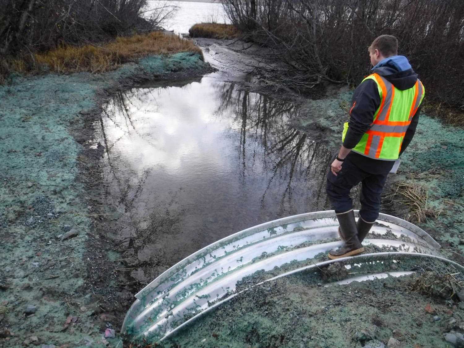
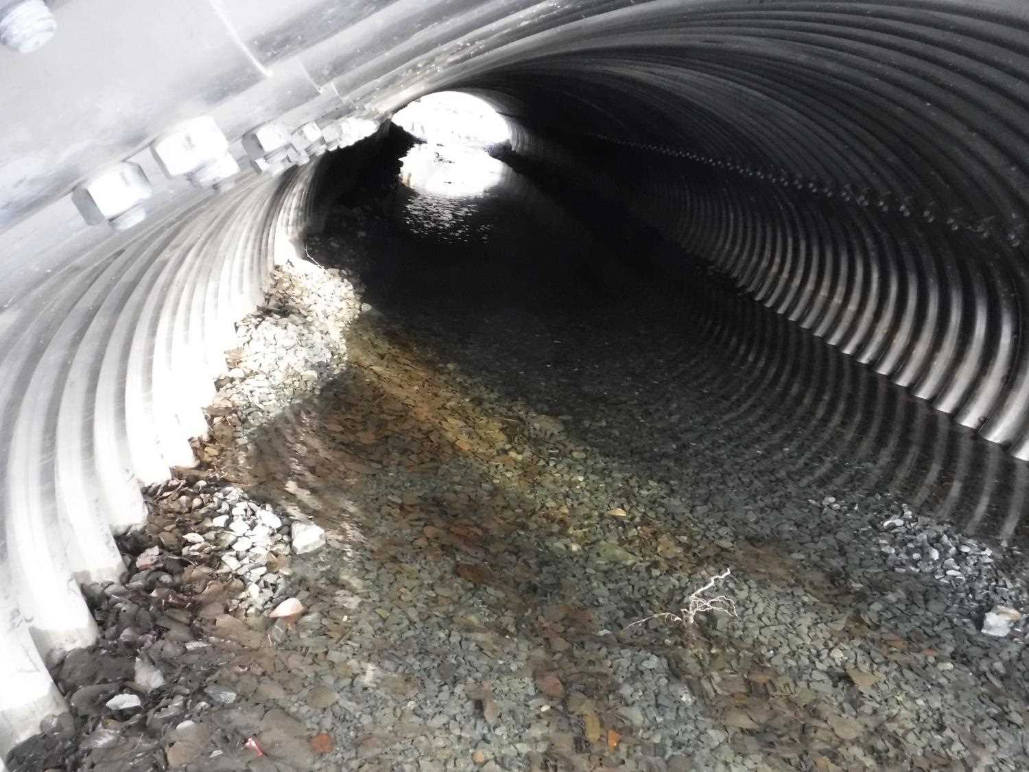
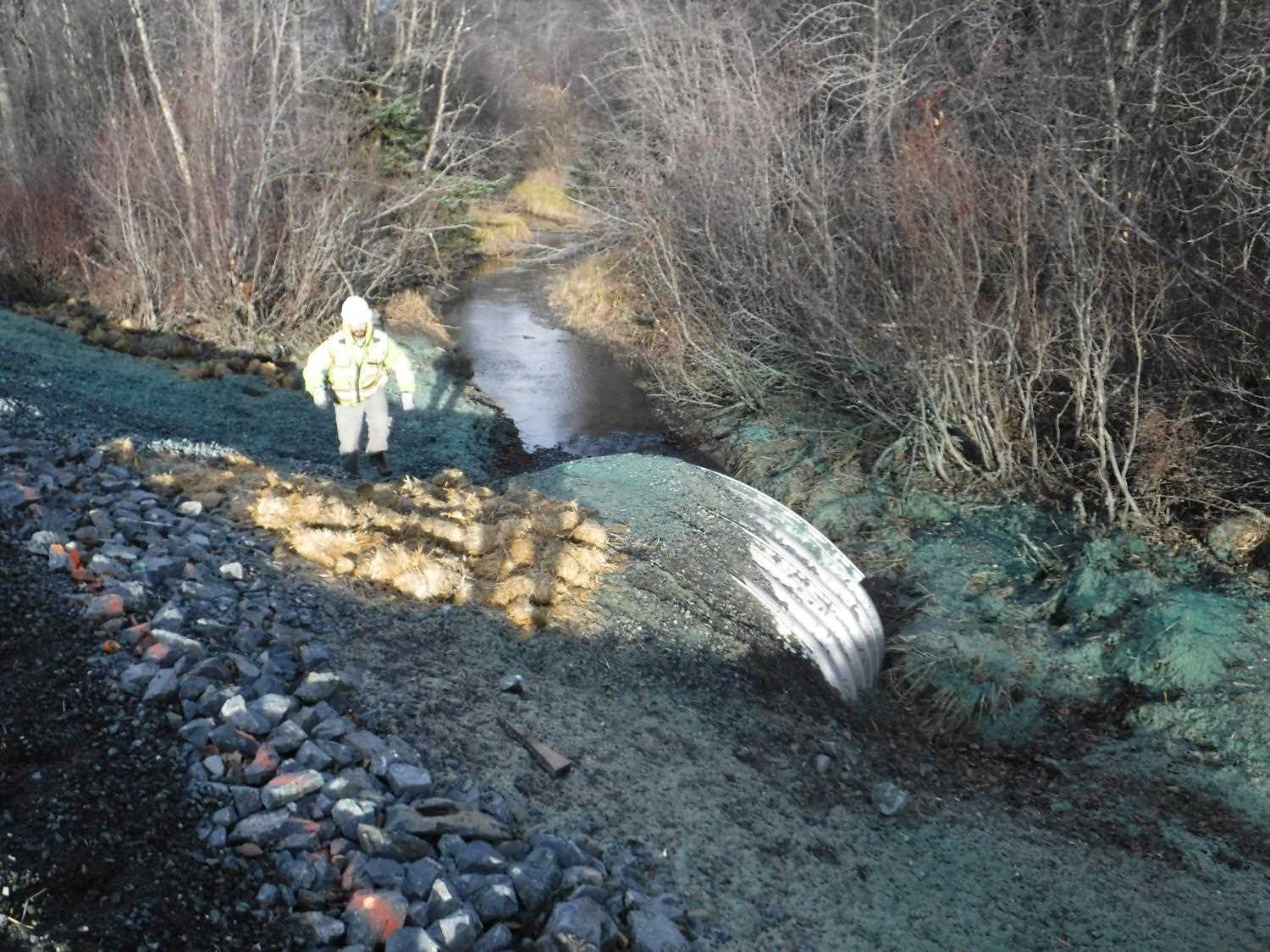
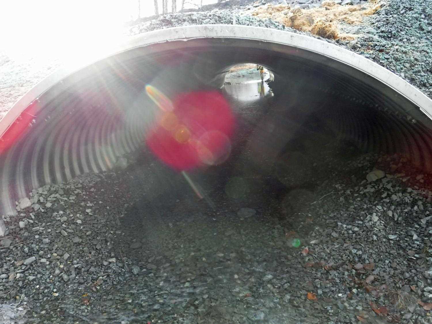
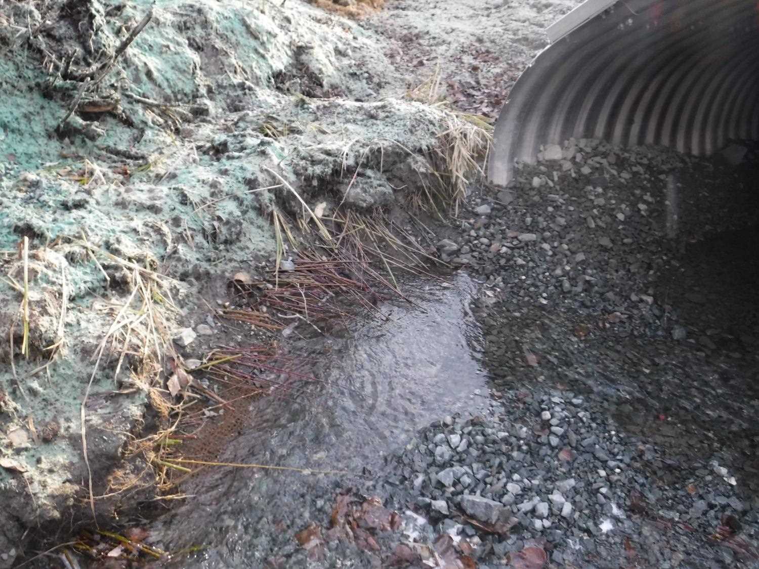
Comments: Culvert replaced as part of AKDOTs Phase 1 Haines Highway reconstruction project under fish habitat permit FH17-I-0125. Site photos and culvert plans submitted by Dylan Krull, HB, ADFG.
Culvert Measurements
| ID: 1 | Structure Type: Pipe-arch (Structural aluminum plate) | Fish Passage Rating: | |||||||||||||||||||||||||||||||||||||||||
|
|
|
|||||||||||||||||||||||||||||||||||||||||
Comments: Culvert measurements taken from site plans and have not been verified. Culvert height is total culvert height from site plans and not from top of sediement. Culvert width 12.6 ft. Culvert height 7.4 ft. Culvert length 94 ft. Culvert gradient 0.48%. |
|||||||||||||||||||||||||||||||||||||||||||
Stream Measurements
|
|
No stream width data available.
Elevations
No elevation data available.
Fish Sampling Efforts
No fish sampling occurred during this survey.
Fish Observations
No fish observations occurred during this survey.
Photos


Questions or comments about this report can be directed to dfg.dsf.webmaster@alaska.gov