Fish Passage Site 10302216
Coordinates (dec. deg.): 58.39219°, -134.74974°
Legal Description: C040S065E19
Region: Southeast
Road Name: Lena Point Road
Datum: NAD83
Quad Name / ITM: Juneau B-3
AWC Stream #: 111-50-10310
Stream Name: Picnic Creek
Elevation:
Site Comments: Aprox. 200 feet upstream of 10302217
arrow to the right of the survey date below to choose a different report for this site.
Survey UPDATE-2216
Project Supervisor: Gillian O'Doherty, ADFG
Observers: Mark Eisenman
Overall Fish Passage Rating:
Tidal:
Backwatered: Maybe
Step Pools:
Construction Year:
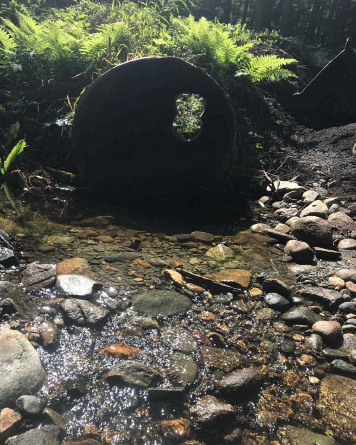
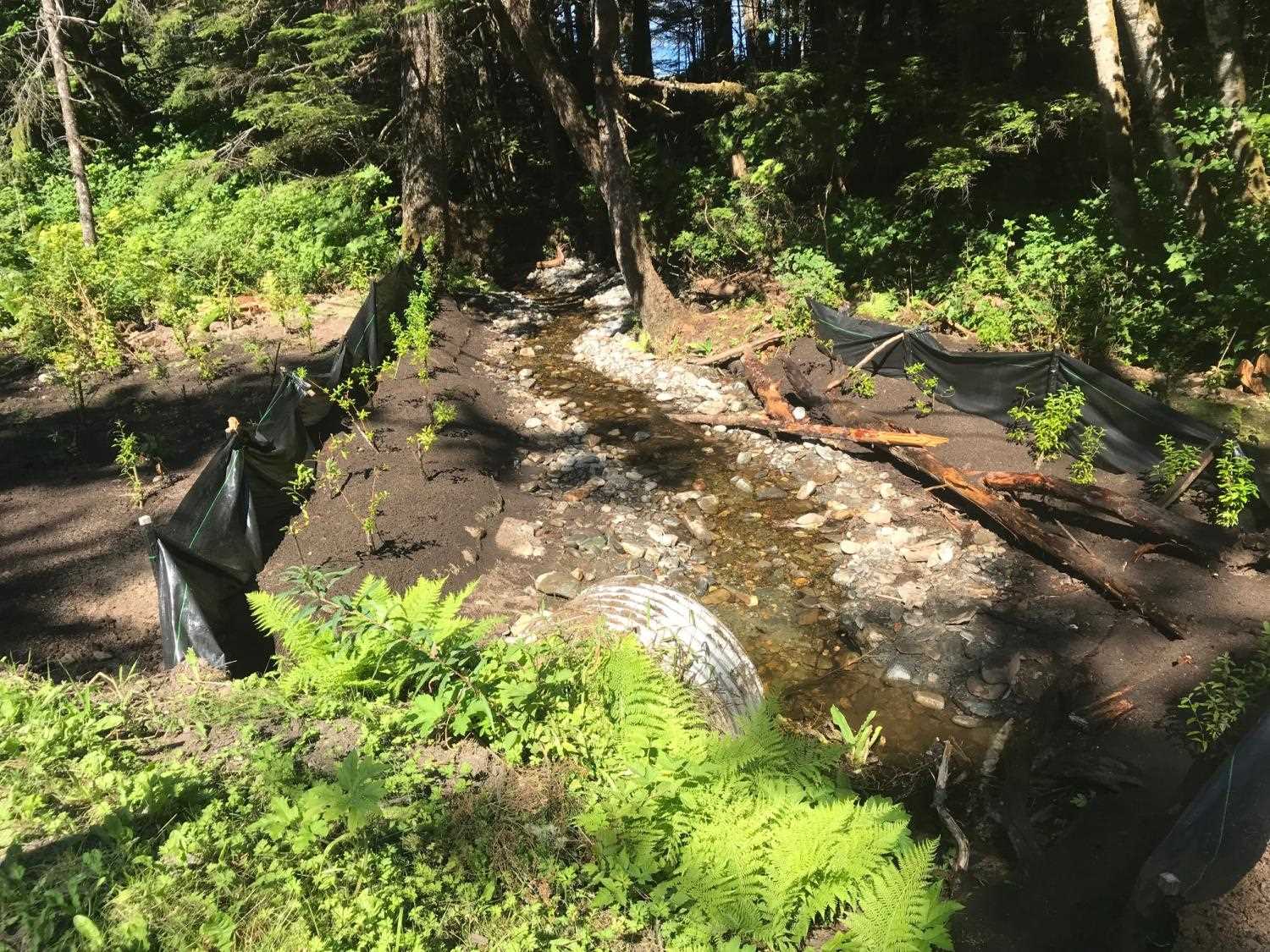
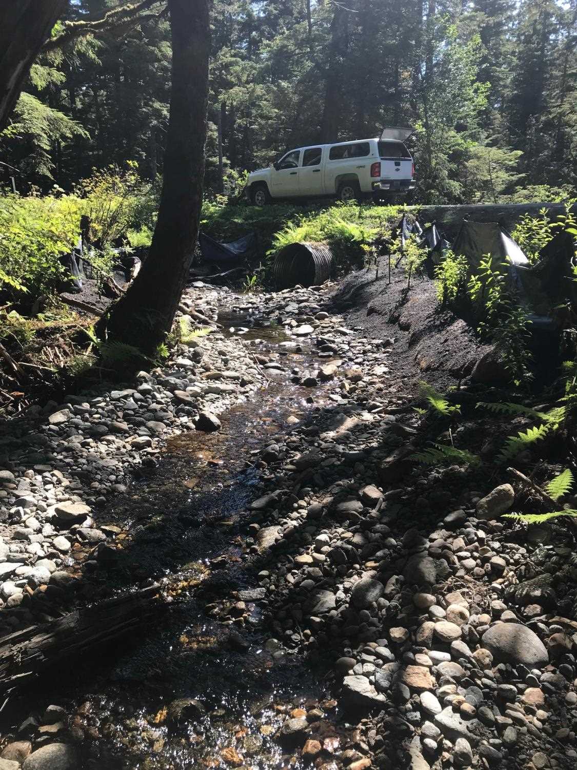
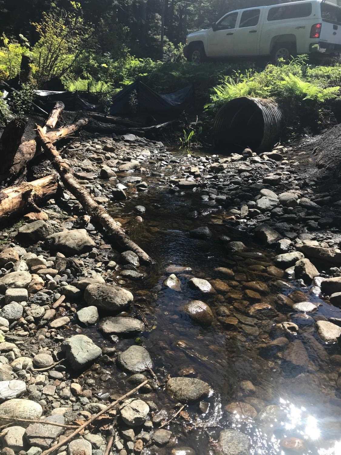
Comments: Information and photos provided by USFWS Neil Stichert. A short roughed channel was constructed (2018) at the outlet of the culvert removing the outfall (perch) and backwatering the culvert. Culvert was not replaced due to underground utilities and site was originally rated gray for constriction. Basic culvert dimensions from previous site assessment should still be valid.
Culvert Measurements
No measurement data available.
Stream Measurements
|
|
No stream width data available.
Elevations
No elevation data available.
Fish Sampling Efforts
No fish sampling occurred during this survey.
Fish Observations
No fish observations occurred during this survey.
Photos
Questions or comments about this report can be directed to dfg.dsf.webmaster@alaska.gov