Fish Passage Site 10302214
Coordinates (dec. deg.): 58.38876°, -134.74419°
Legal Description: C040S065E19
Region: Southeast
Road Name: Glacier Highway
Datum: NAD83
Quad Name / ITM: Juneau B-3
AWC Stream #:
Stream Name: Campground Creek Tributary
Elevation:
Site Comments: None
arrow to the right of the survey date below to choose a different report for this site.
Survey UPDATE-2214
Project Supervisor: Gillian O'Doherty, ADFG
Observers:
Overall Fish Passage Rating:
Tidal: No
Backwatered: No
Step Pools: No
Construction Year: 2016
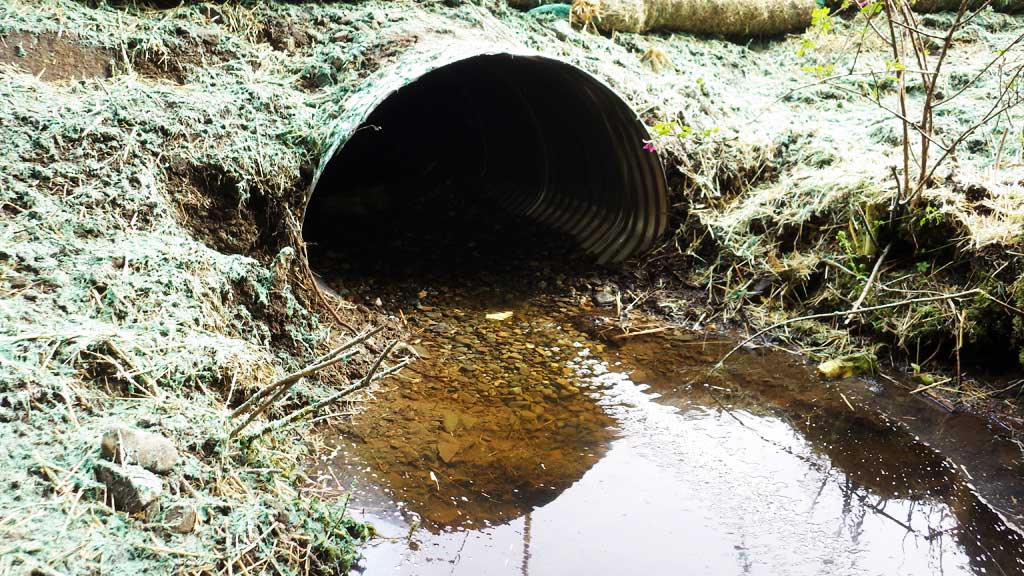
Comments: Culvert has been replaced and needs to be resurveyed. Culvert set high due to water main underneath culvert. Fish observed after construction.
Culvert Measurements
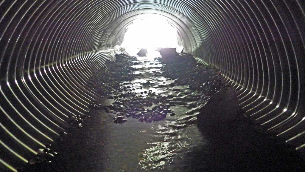
| ID: 1 | Structure Type: Pipe-arch (Corrugated aluminum) | Fish Passage Rating: | |||||||||||||||||||||||||||||||||||||||||
|
|
|
|||||||||||||||||||||||||||||||||||||||||
Comments: All measurements taken from habitat permit and have not been verified. Culvert width 4.75 ft. Culvert height 3.17 ft. Culvert length 74 feet. |
|||||||||||||||||||||||||||||||||||||||||||
Stream Measurements
|
|
No stream width data available.
Elevations
No elevation data available.
Fish Sampling Efforts
No fish sampling occurred during this survey.
Fish Observations
No fish observations occurred during this survey.
Photos

Questions or comments about this report can be directed to dfg.dsf.webmaster@alaska.gov