Fish Passage Site 10103252
Coordinates (dec. deg.): 60.77568°, -148.66886°
Legal Description: S008N004E24
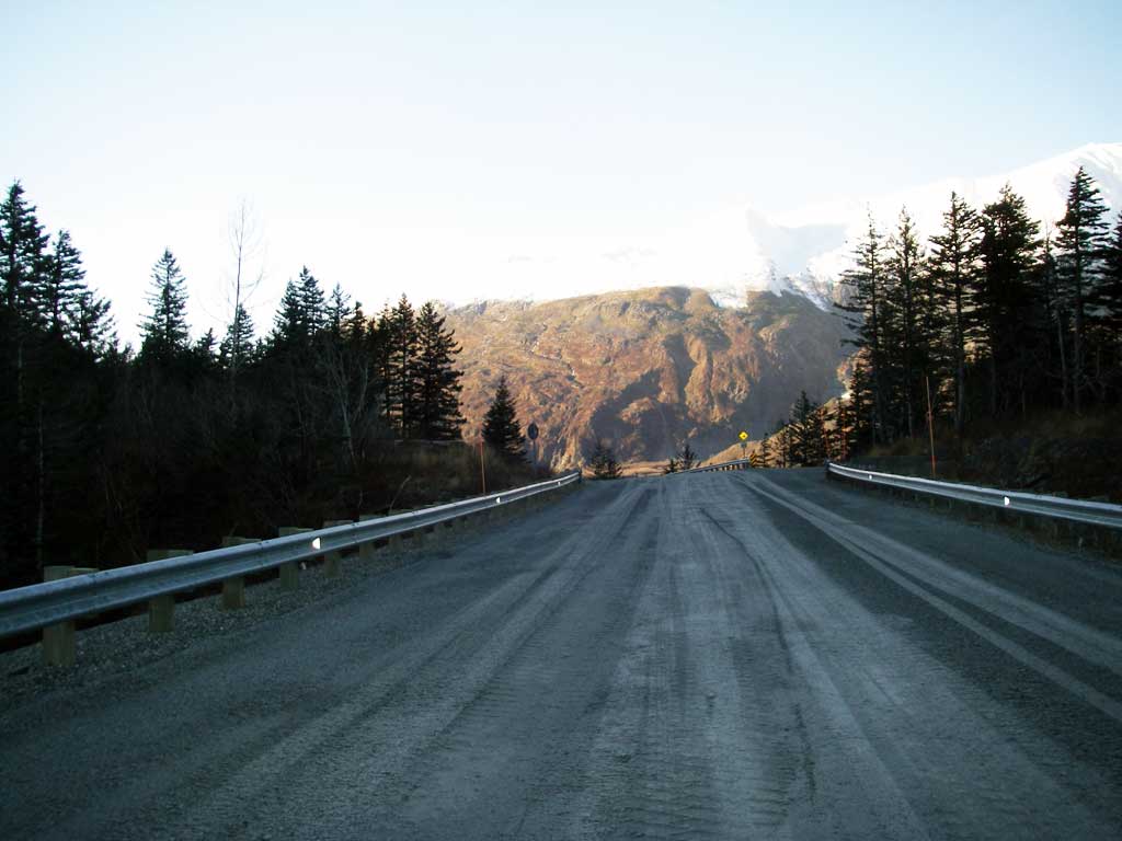
Region: South Central
Road Name: Shotgun Cove Road
Datum: NAD83
Quad Name / ITM: Seward D-5
AWC Stream #:
Stream Name: Unnamed
Elevation:
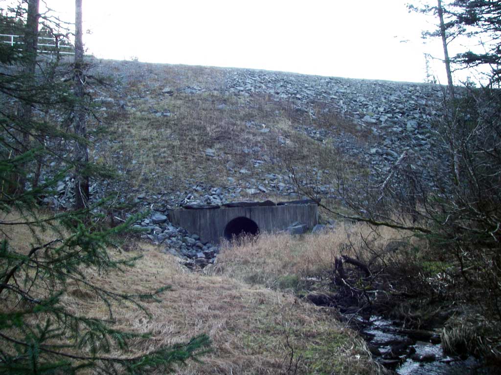
Site Comments: Site is upstream from WIT03.
Survey UPDATE-WIT04
Project Supervisor: Gillian O'Doherty, ADFG
Observers: William Frost
Overall Fish Passage Rating:
Tidal:
Backwatered:
Step Pools:
Construction Year:
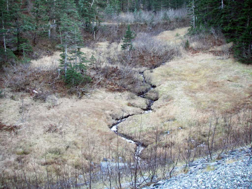
Comments: Photo site only. Site submitted by ADFG, HB Will Frost.
Culvert Measurements
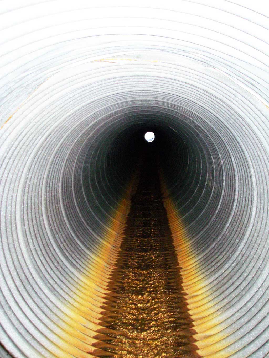
| ID: 1 | Structure Type: Circular pipe (Corrugated steel) | Fish Passage Rating: | |||||||||||||||||||||||||||||||||||||||||
|
|
|
|||||||||||||||||||||||||||||||||||||||||
Comments: Culvert was visually estimated to be about 40 inches in diameter. Culvert possibly have a gradient barrier. |
|||||||||||||||||||||||||||||||||||||||||||
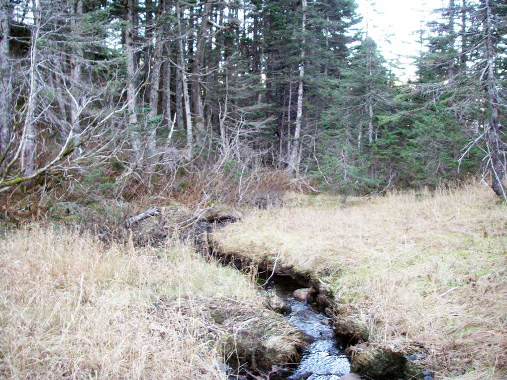
Stream Measurements
|
|
No stream width data available.
Elevations
No elevation data available.
Fish Sampling Efforts
No fish sampling occurred during this survey.
Fish Observations
No fish observations occurred during this survey.
Photos

Questions or comments about this report can be directed to dfg.dsf.webmaster@alaska.gov