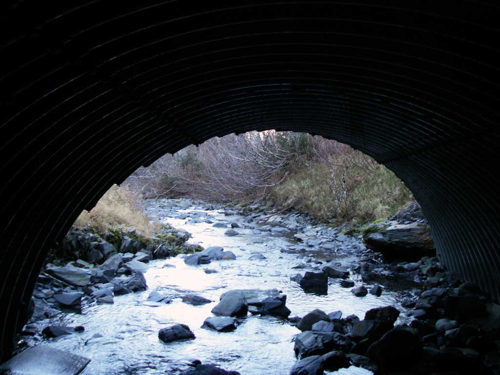
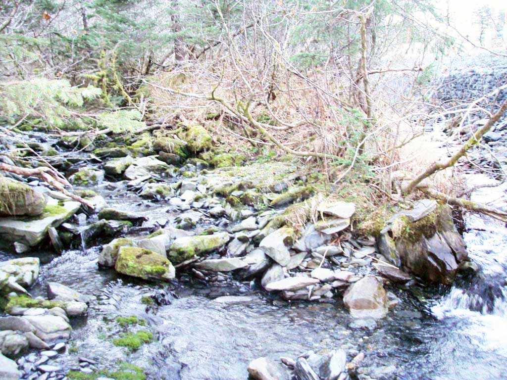
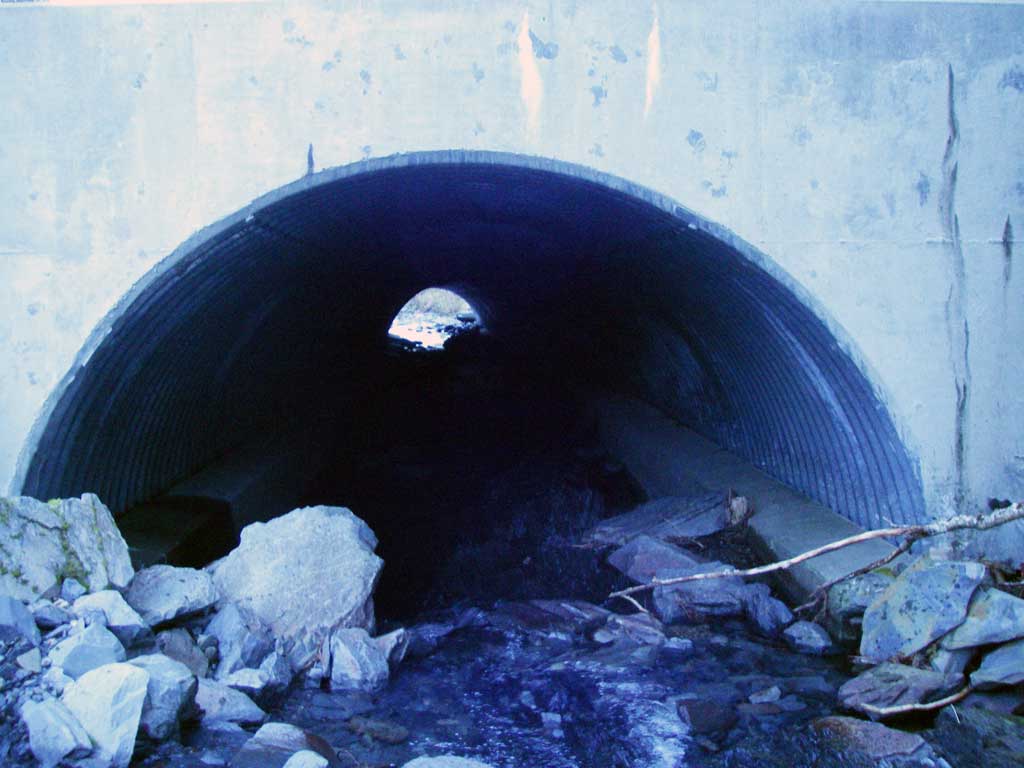
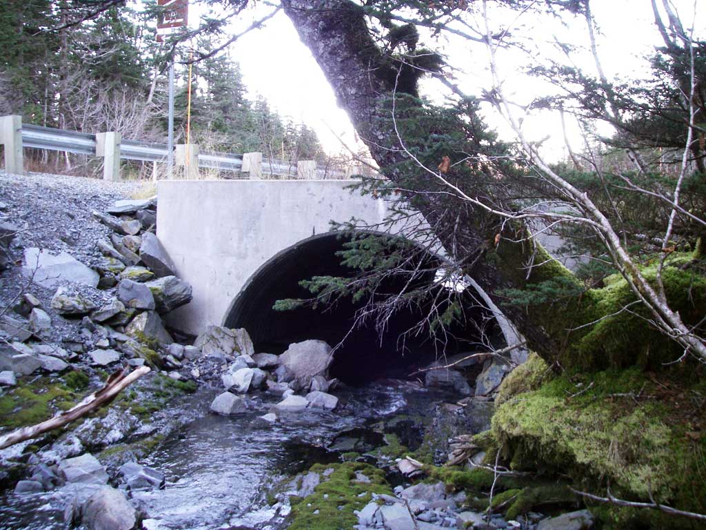
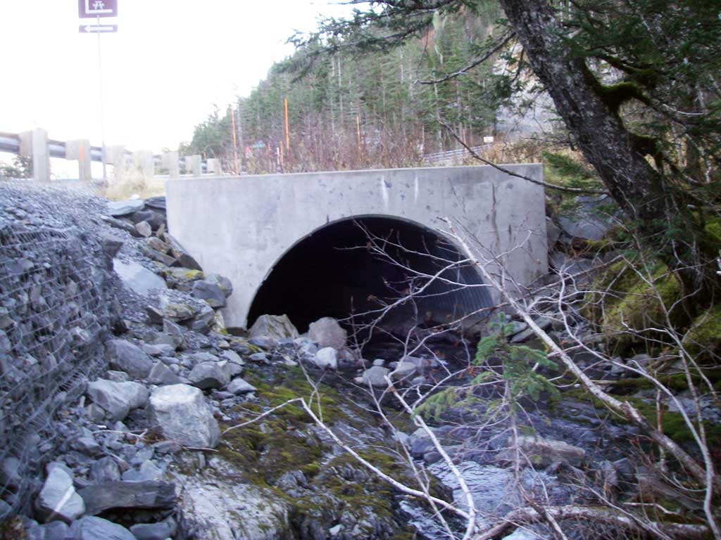
Fish Passage Site 10103250
Coordinates (dec. deg.): 60.77680°, -148.66283°
Legal Description: S008N004E13
Region: South Central
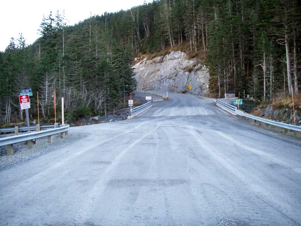
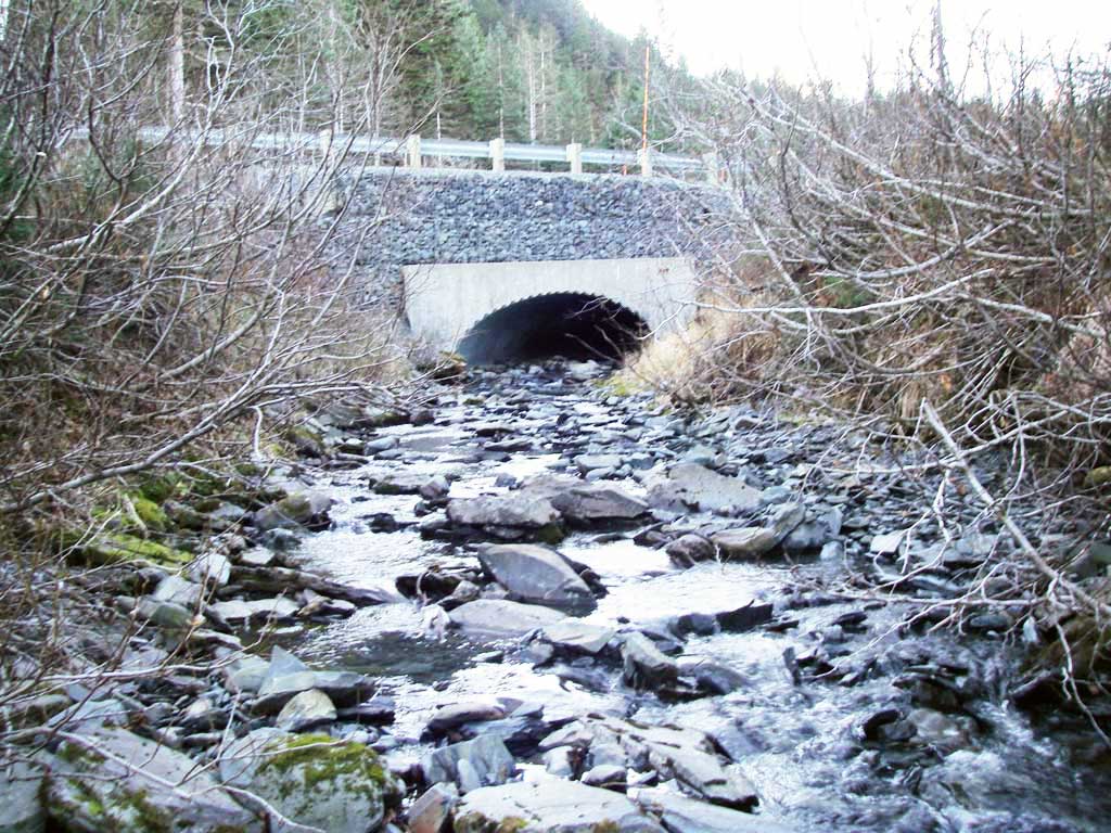
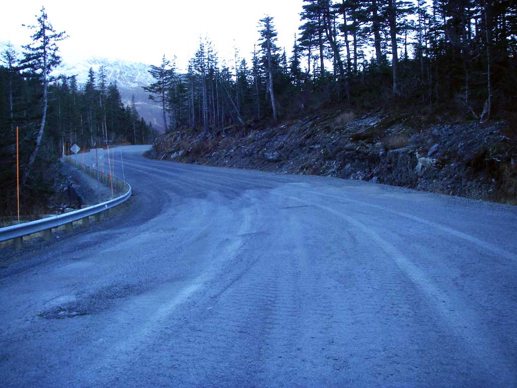
Road Name: Shotgun Cove Road
Datum: NAD83
Quad Name / ITM: Seward D-5
AWC Stream #:
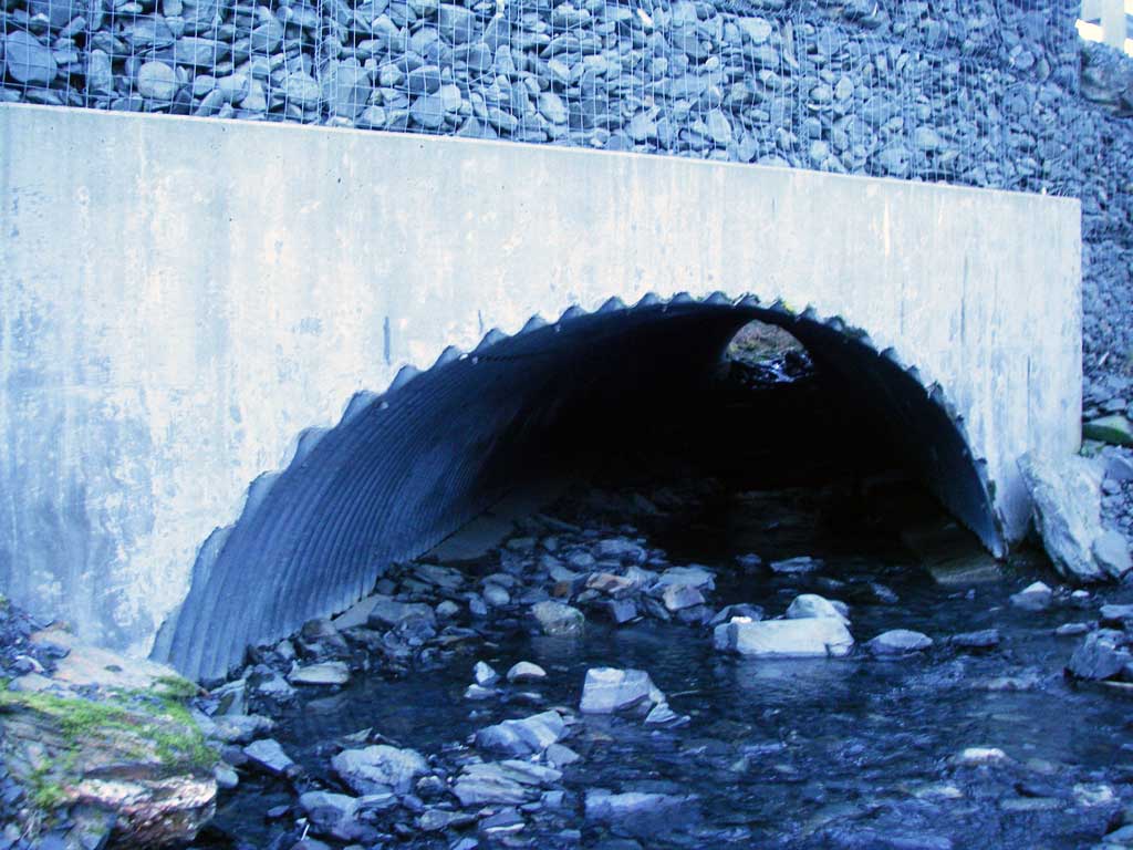
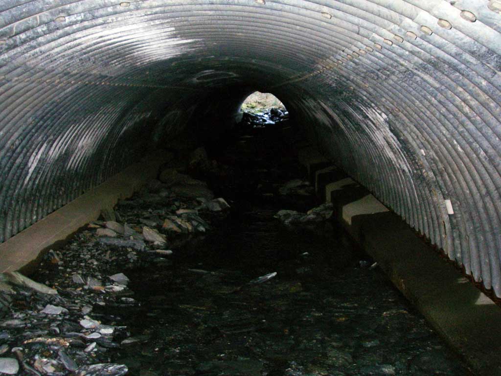
Stream Name: Cove Creek
Elevation:
Site Comments: New culvert on Shotgun Cove Road extension.
Survey UPDATE-WIT02
Project Supervisor: Gillian O'Doherty, ADFG
Observers: William Frost
Overall Fish Passage Rating:
Tidal: No
Backwatered: No
Step Pools: No
Construction Year: 2006
Comments: Site submitted by ADFG HB Will Frost.
Culvert Measurements
| ID: 1 | Structure Type: Open-bottom arch (Structural steel plate) | Fish Passage Rating: | |||||||||||||||||||||||||||||||||||||||||
|
|
|
|||||||||||||||||||||||||||||||||||||||||
Stream Measurements
|
|
No stream width data available.
Elevations
No elevation data available.
Fish Sampling Efforts
No fish sampling occurred during this survey.
Fish Observations
No fish observations occurred during this survey.
Photos

Questions or comments about this report can be directed to dfg.dsf.webmaster@alaska.gov